My Trip Info:
Total Ascent: 4338ft (1322m)
Net: 3832ft (1168m)
Loss: 506ft (154m)
Start Ele: 2288ft (697m)
Max Ele: 6120ft (1865m)
Distance: 6.1mi (9.8km)
Total Time: 6h 25m
Ascent: 3h 20m
Descent: 2h 38m
Time at Summit: 27m
Start Time: 13:13
End Time: 19:38
Sunset: 19:44
Equipment Used:
Helmet
Poles
Group Size: 1 (Solo)
Mountain Info:
Baring Mountain:
Major Summits in Washington State: #134
High Summits in Washington State: N/A
Prominent Summits in Washington State: #87
Elevation: 6120ft (1865m)
Prom: 2440ft (743m)
Key Col: 3680ft (1122m)
The trailhead for Baring Mountain was about 200 metres past the trailhead for
Gunn Peak. I got to the trailhead at 13:13, quite late in the day to avoid Labor Day traffic. The trailhead was surprisingly packed, so I had to park a bit away from the trailhead. It turns out that Baring Mountain shares a trailhead with a popular hike to Barclay Lake.
The trail started behind the bathroom and continued in the valley for a short time. The trail was quite hidden being behind the bathroom. The Barclay Lake trail was the much more pronounced trail.
Eventually the trail turned to go up the ridge. The trail up to the ridge was not very long (especially compared to
Gunn Peak’s tree line trail), but it was very steep the whole way. It was very similar to Gunn Peak’s trail, very muddy and eroded, but not very hard to follow. There were no path finding difficulties at all, which made this section feel very short.
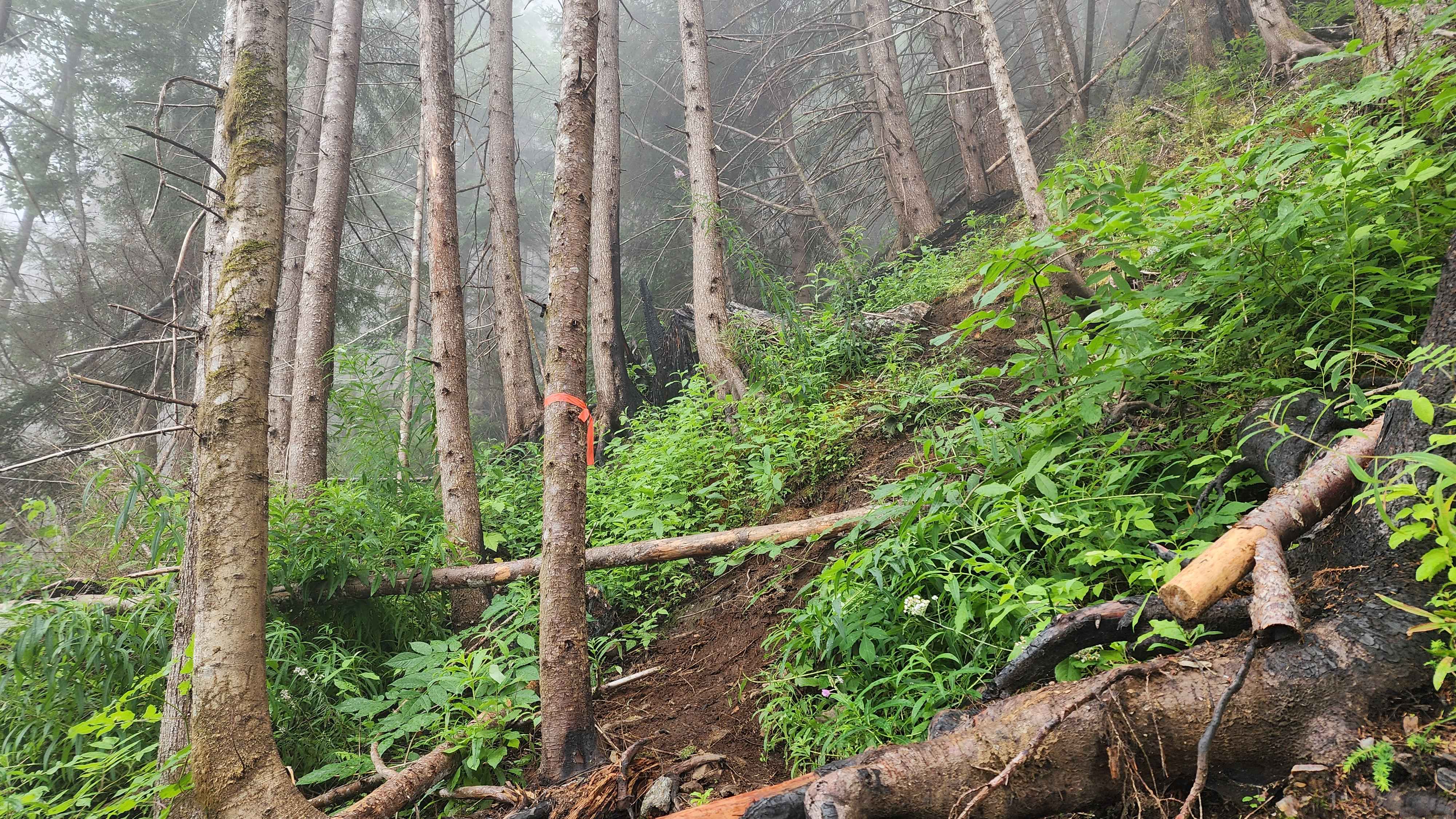
Photo from a section of the trail to the ridge
The ridge was surprisingly windy when I got there. I could see the clouds blowing over the ridge and down the other side. I also got a sight of where the forest was burned in 2022. The south side of the ridge was very desolate from the fire.
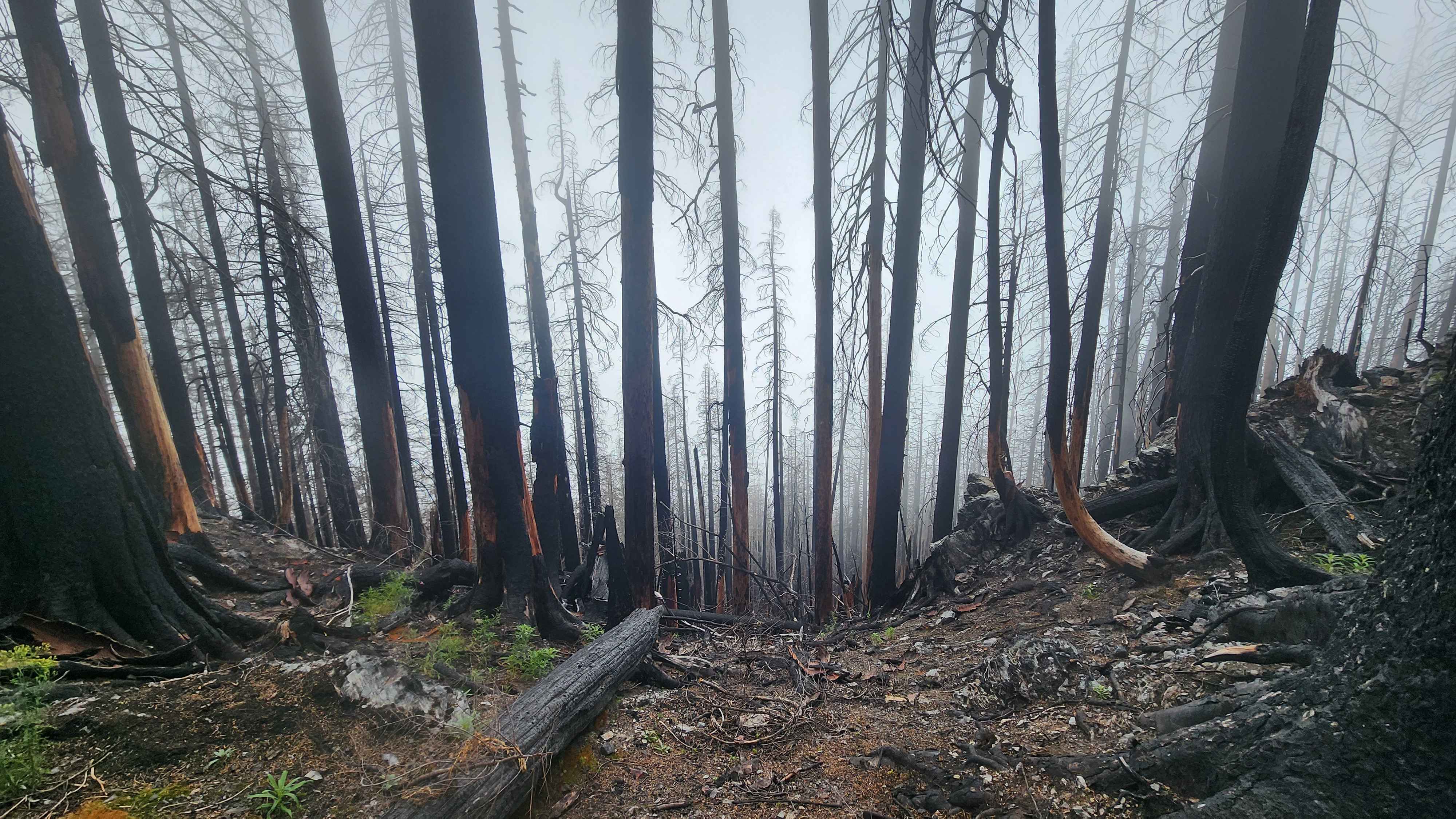
The south side of the ridge where the fire mainly was
The route walked across the ridge for a while, but it eventually went aways down into the burnt forest. I accidentally stayed on the ridge and had to down climb through the ashy ground to get back on route. The route then climbed up the last forest part of the route. This section was completely in the burnt forest. The ground was a mix of ash, dirt, and dead pine needles. This section felt the longest of any section just do to how annoying it was to climb. I took the wrong route up and ended up on the ridge above where the trail was, so I had to down climb on some rocks to get back to the trail.
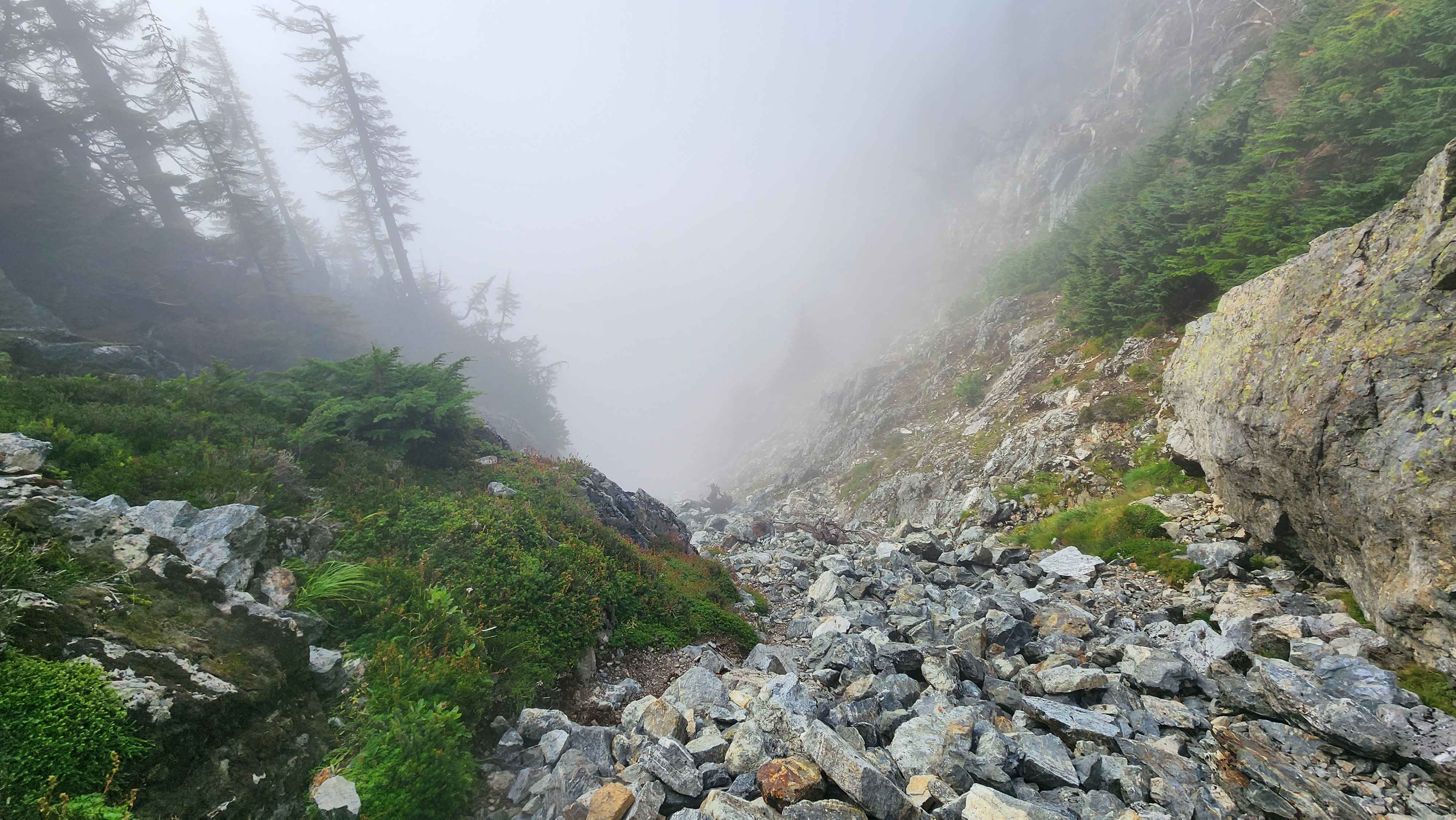
The trail then continued through the boulder field. This section was the first time I could see further than 50 metres in front of myself. At this point I could see the rock slide the trail went up.

The rockslide from the ridge I accidentally ended up on
I continued to the rockslide and made my way up it. On this section I saw the first and only person I saw all day. They were a base jumper who couldn’t jump that day due to the cloud coverage.
At the top of the rockslide, I could finally see out. The clouds created a thick blanket over everything down below, which created a very cool looking scene.
The rockslide

Photo out the other side after the rockslide
I put on my helmet at this point as it looked like it was going to get steeper and rockier. However, only the first part was a climb, so the rest was more forest walking and boulder hoping. This small section was about a class 2/3 I’d say.

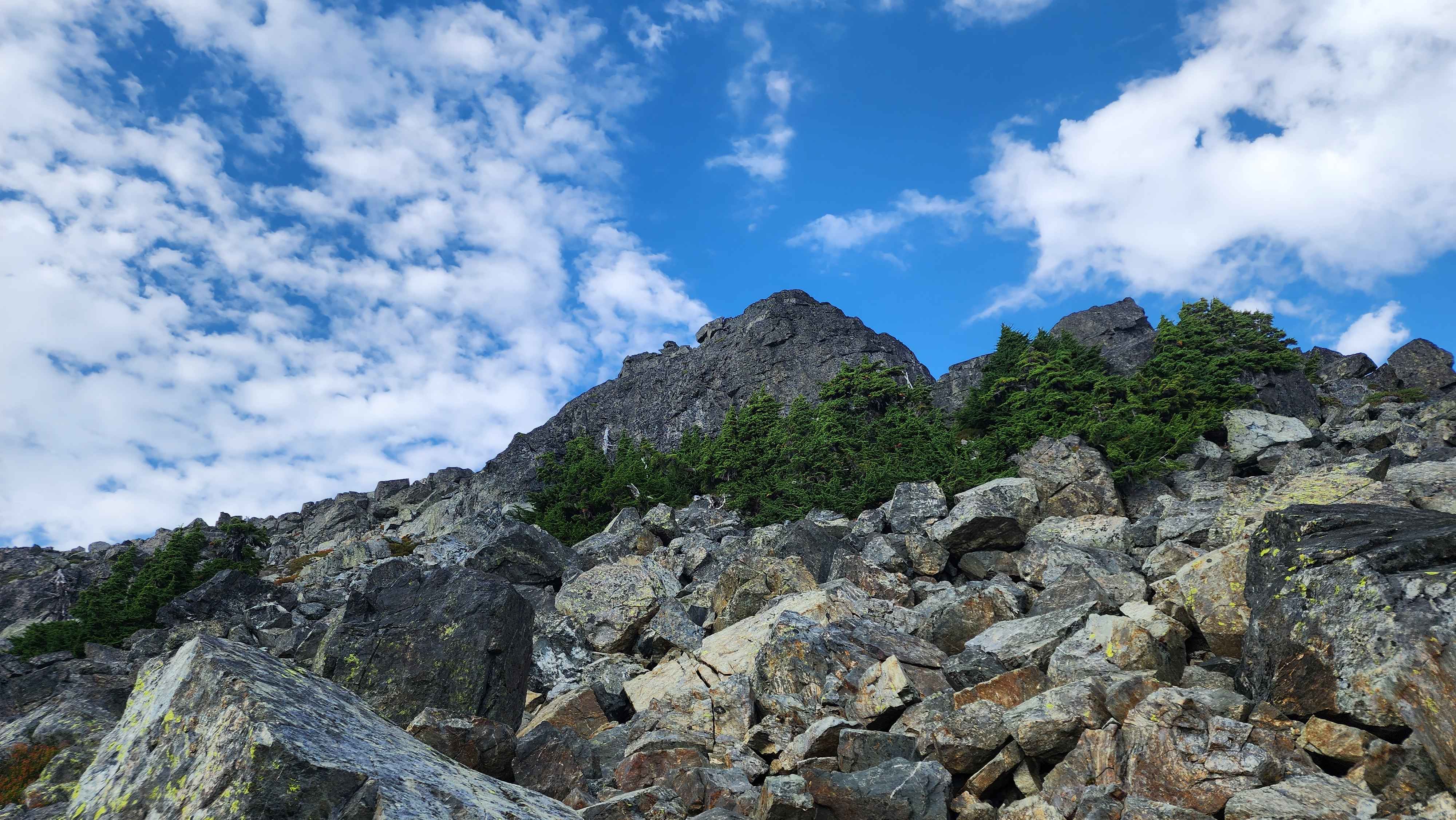
The rock climbing crux of the route, only class 2/3

The view from the final scramble to summit
After crossing through more burnt forest and boulder fields, I made it to the summit. There was a summit stake, but I couldn’t find a register. The cloud blanket was very unique, I hadn’t seen anything quite like this before.
The summit block

Mt Index sticking out above the clouds
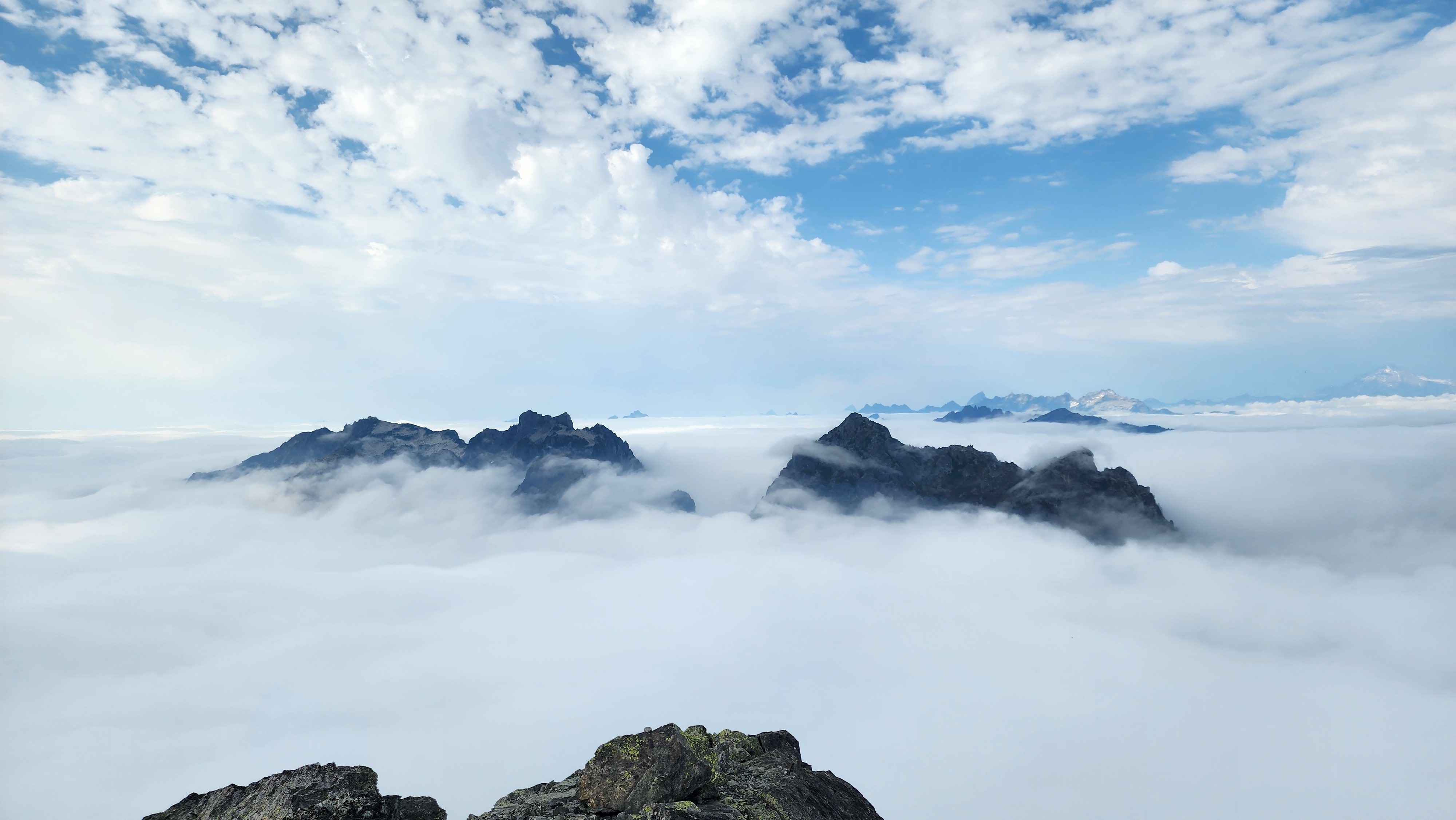
Gunn Peak and Gunnshy up close, with Glacier Peak in the distance to the right
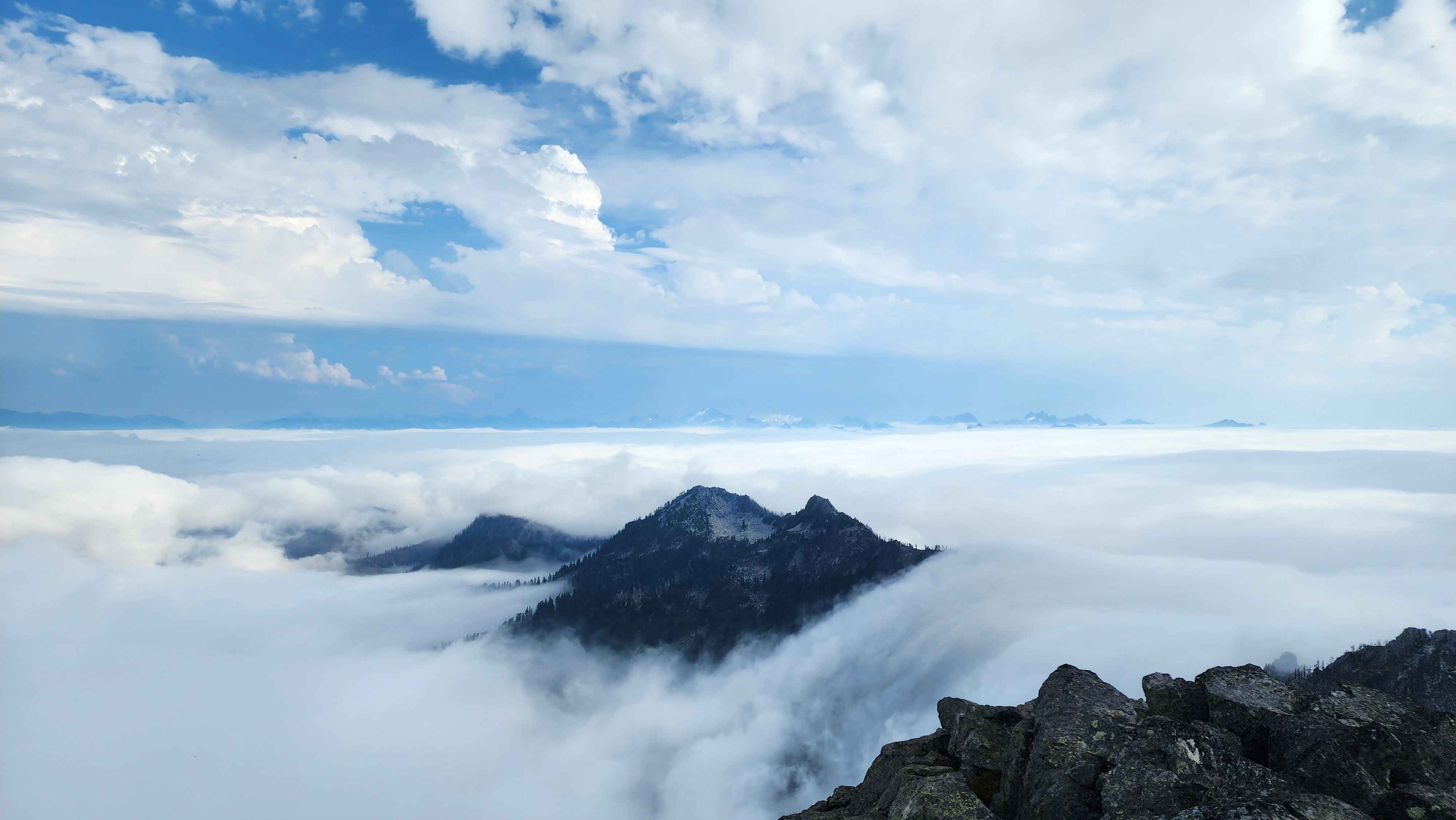
View to the east

The blanket of clouds with no peaks interupting
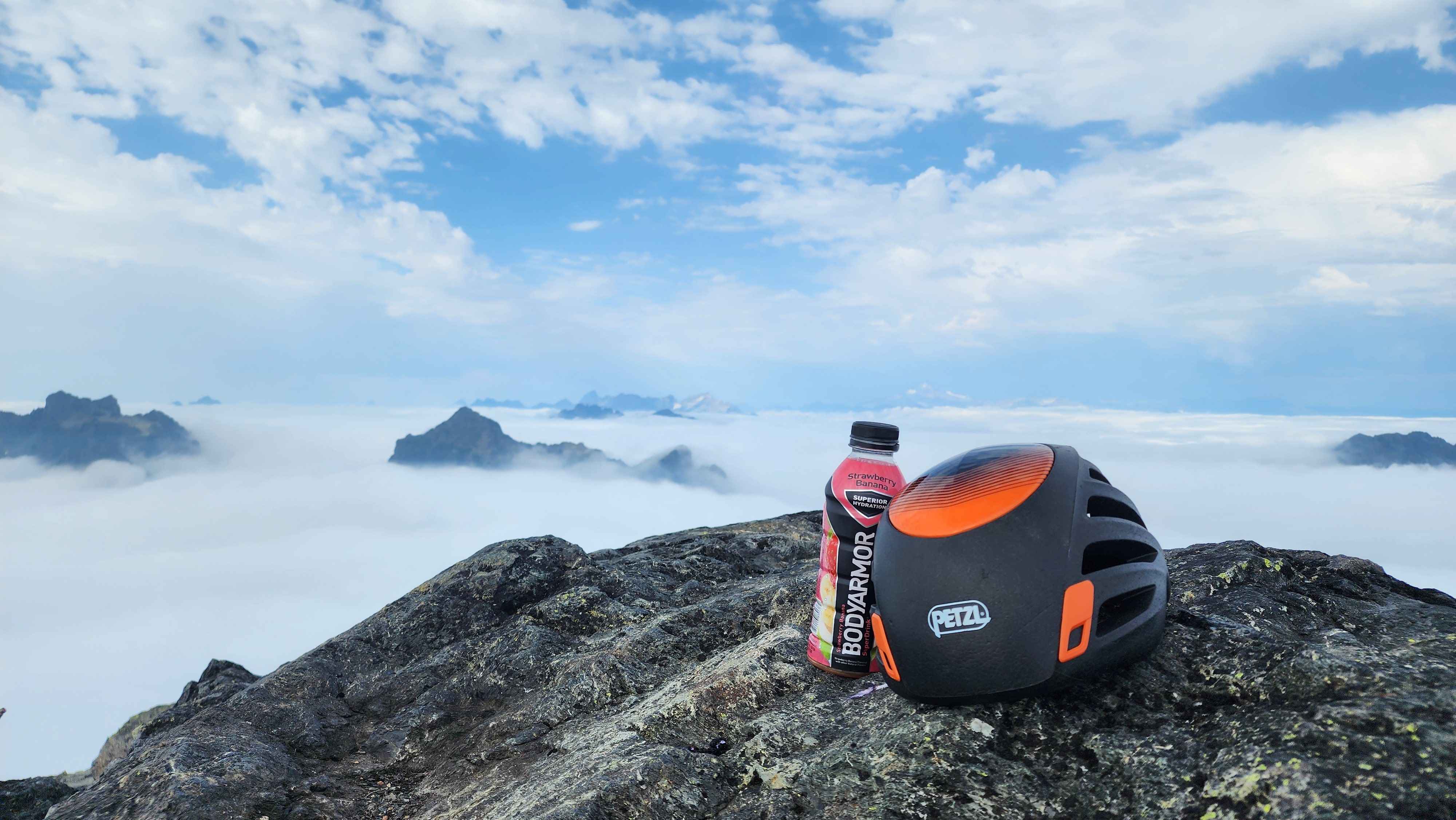
My helmet at the summit
The descent went much smoother than the ascent; I stayed on trail the whole way down. I was running out of water, but I found a small snow patch I used to fill up (this was the only water source on the whole trail). Going down was still slow since I couldn’t go too fast or I’d slide on the dirt/ash.

A photo of I got of Baring while descending
Gunn Peak