My Trip Info:
Total Ascent: 6144ft (1872m)
Net: 5281ft (1610m)
Extra: 863ft (263m)
Start Ele: 2800ft (853m)
Max Ele: 8081ft (2463m)
Distance: 17.8mi (28.6km)
Total Time: 8h 56m
Ascent: 4h 52m
Descent: 3h 45m
Time at Summit: 19m
Start Time: 11:07
End Time: 20:03
Sunset: 18:44
15:59
16:18
Equipment Used:
Helmet
Poles
Water Filter
Headlamp
Group Size: 1 (Solo)
Mountain Info:
Big Chiwaukum (link):
Major Summits in Washington State: #51
High Summits in Washington State: #159
Prominent Summits in Washington State: #27
Elevation: 8081ft (2463m)
Prom: 3681ft (1122m)
Key Col: 4400ft (1341m)
Trip Report Writeup
I got to the trailhead later in the day at 11:07 as I usually do. At around 6100ft of ascent across 18 miles, it wasn’t the biggest day climb ever, so the late arrival was appropriate. It was supposed to be a perfectly sunny day, but the weather completely changed later in the day.
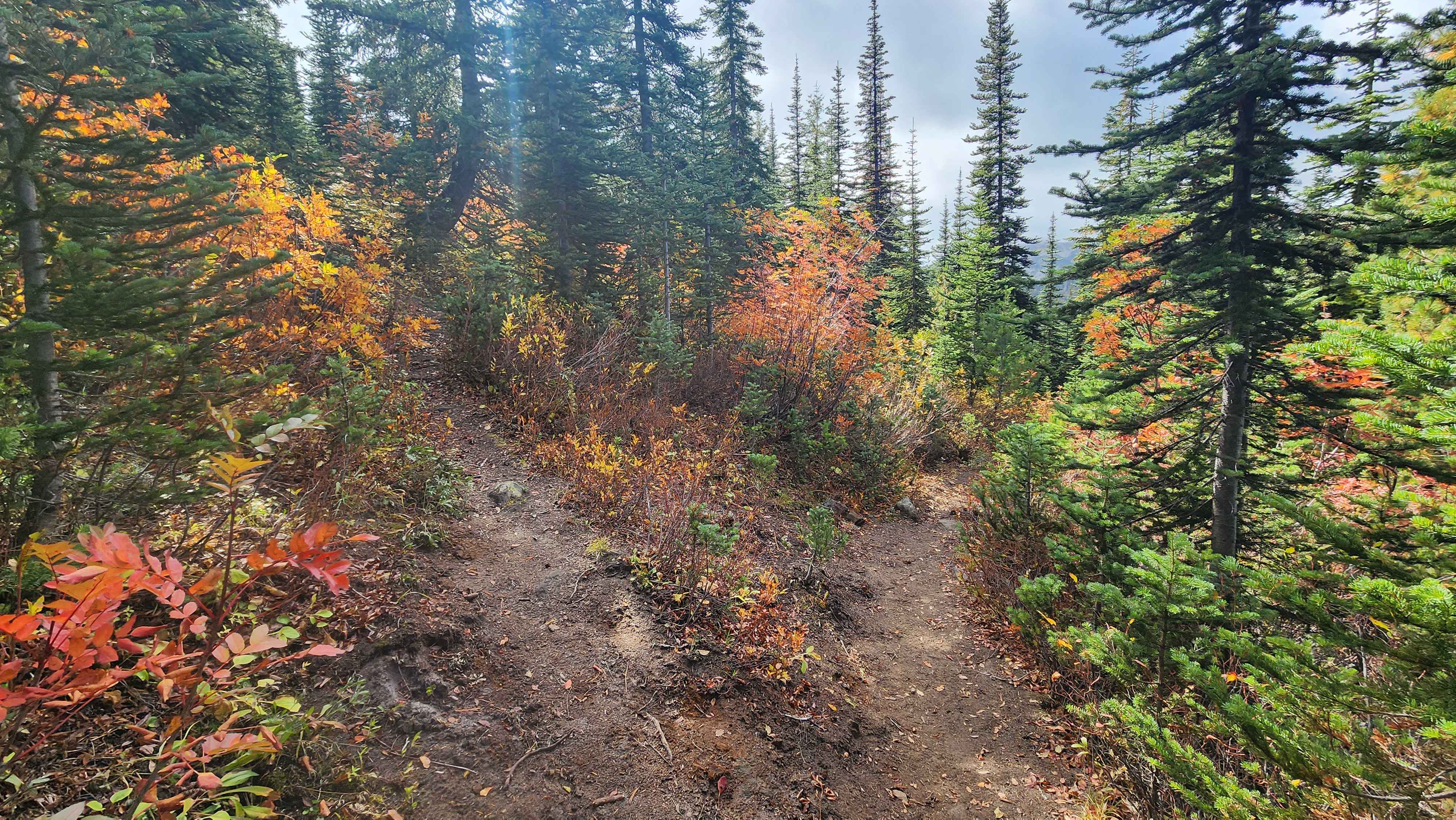
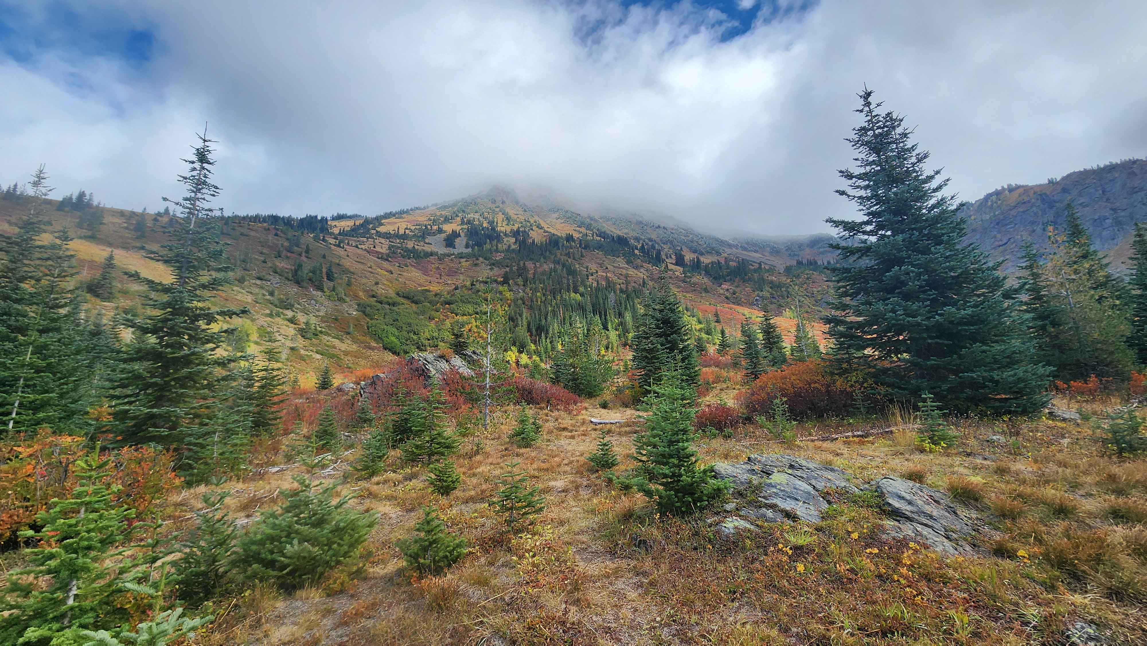
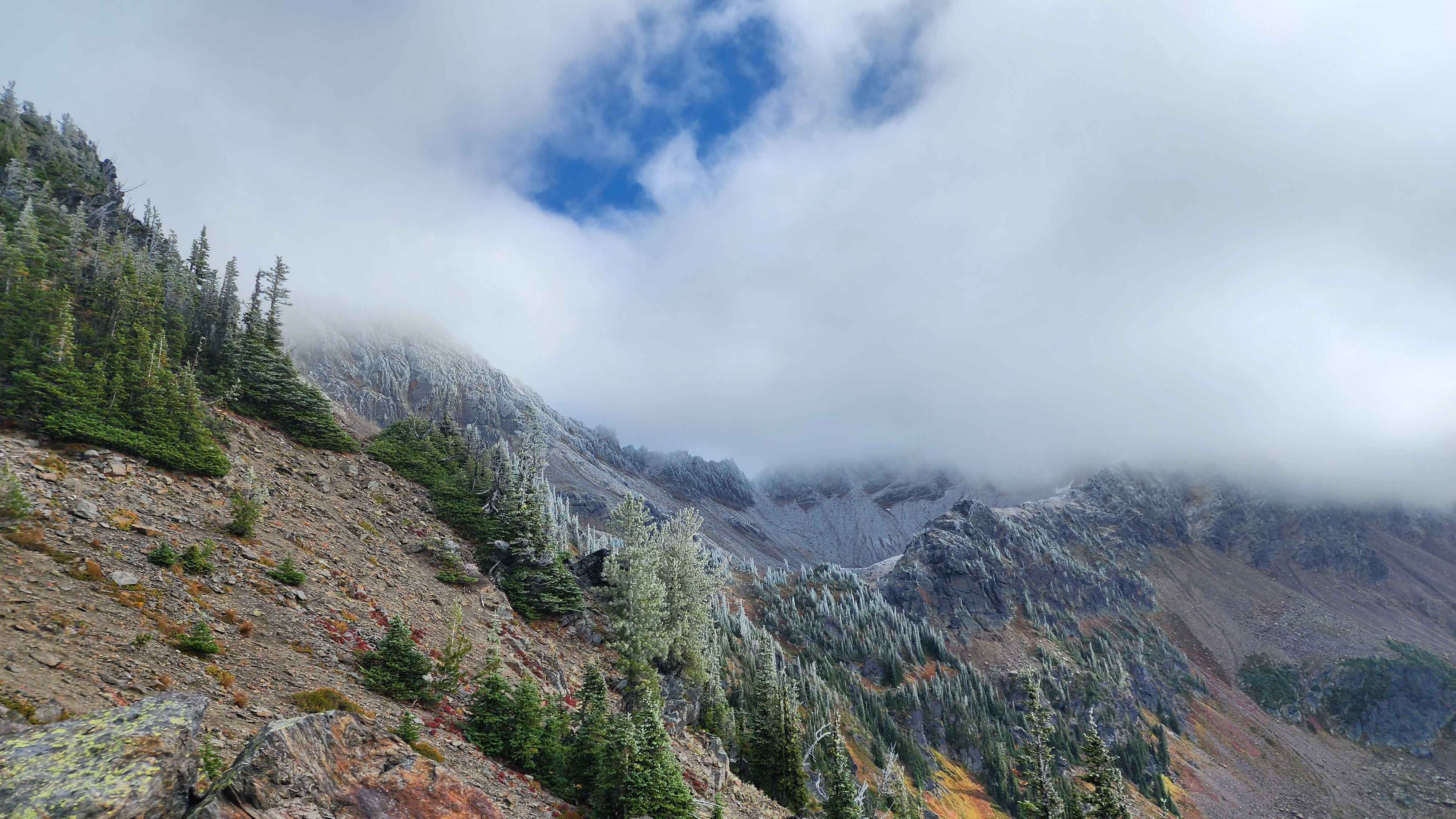
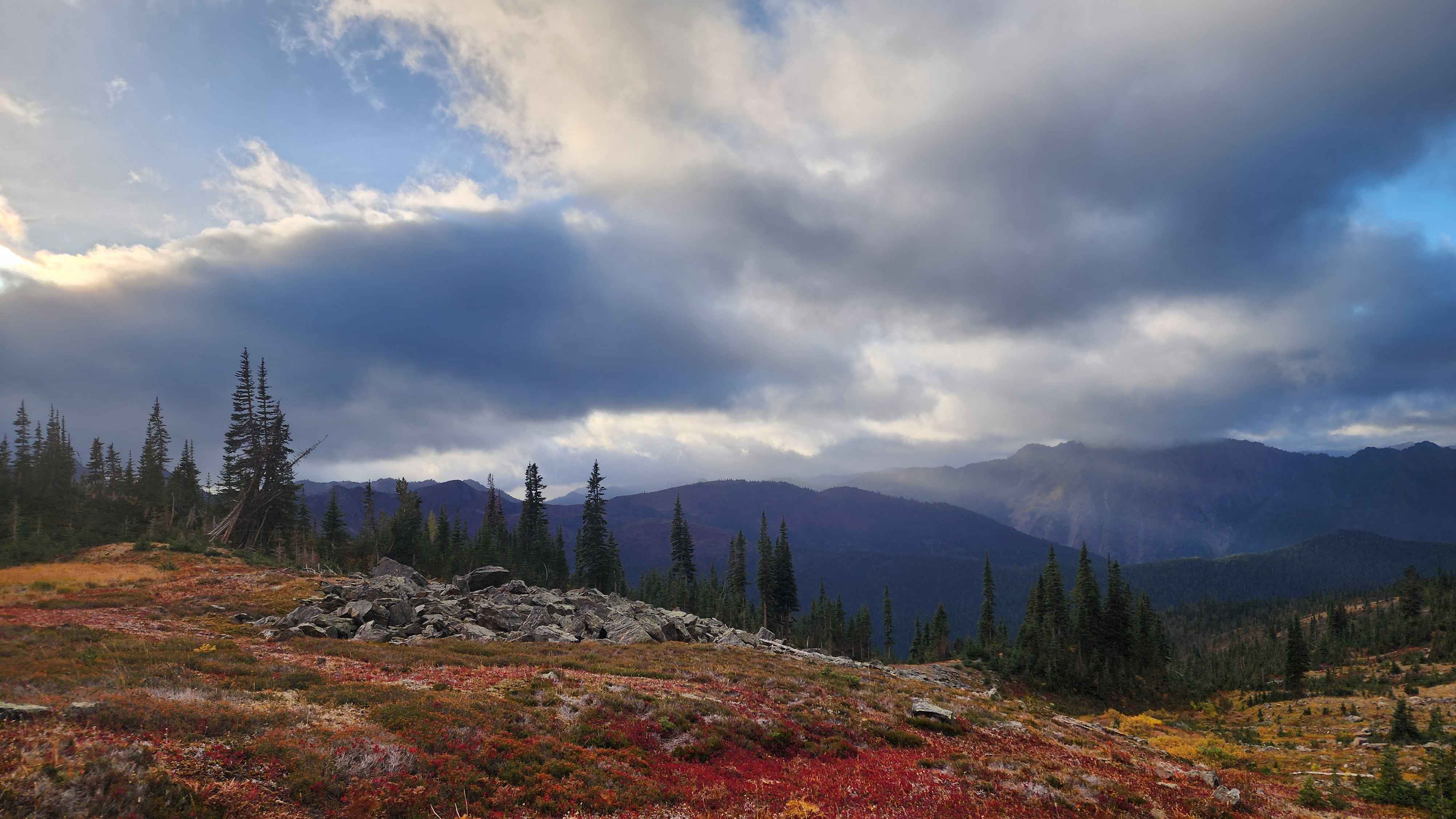
It took awhile to get past the long slog out of the valley and to the turnoff. The turnoff was more defined than the main trail, which showed how many people actually used the main trail. The turnoff trail went up to the meadows just above. There were lots of spur trails off it, which confused me on the way out. At the meadow, the trail faded, and it became a meadow walk. I couldn’t see the summit as clouds were blocking the view of everything higher up. I could see a dusting of snow just below the clouds, showing it had snowed the night before.
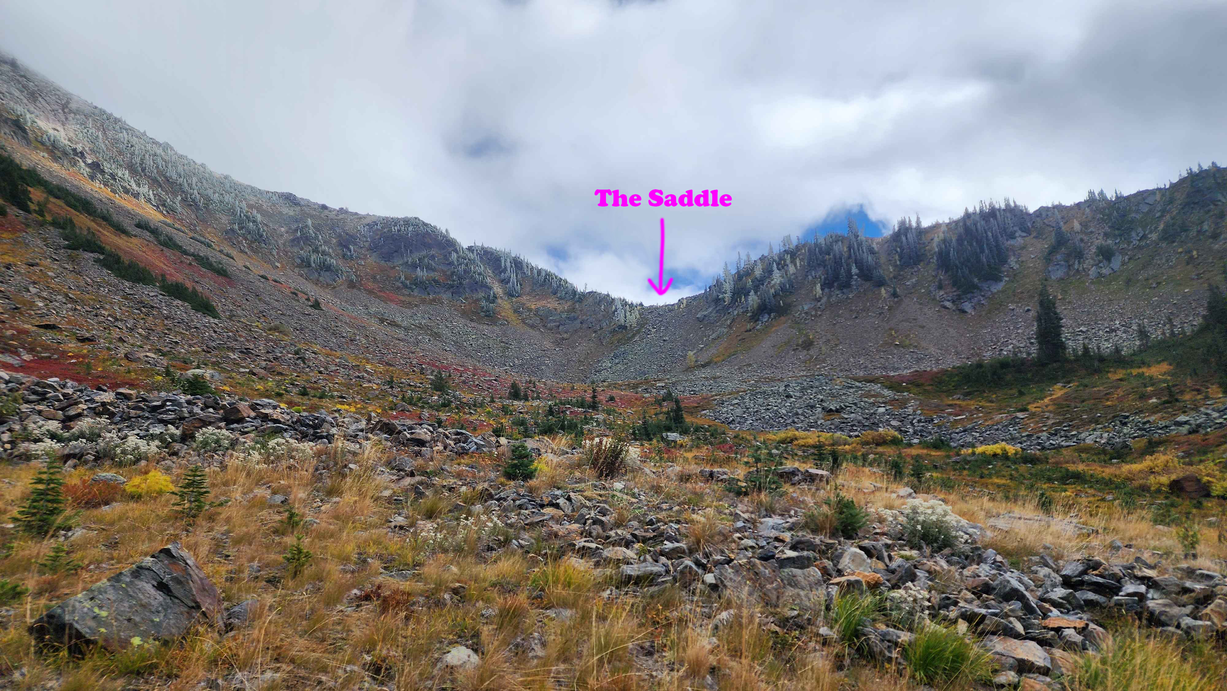
The turnoff to the left
The start of the meadow where the trail ends
The dusting of snow on the mountain
The meadow walk was pretty fun since the navigation was quite easy and the surroundings were pretty in the sun and cloud mix. The saddle on the ridge at 6650’ was visible from the lowest part of the meadow. The only struggle getting to the saddle was a short bushwack section by one of the many creeks; I don’t think this section is avoidable without a large detour.
The view back towards the main trail
Approaching the saddle
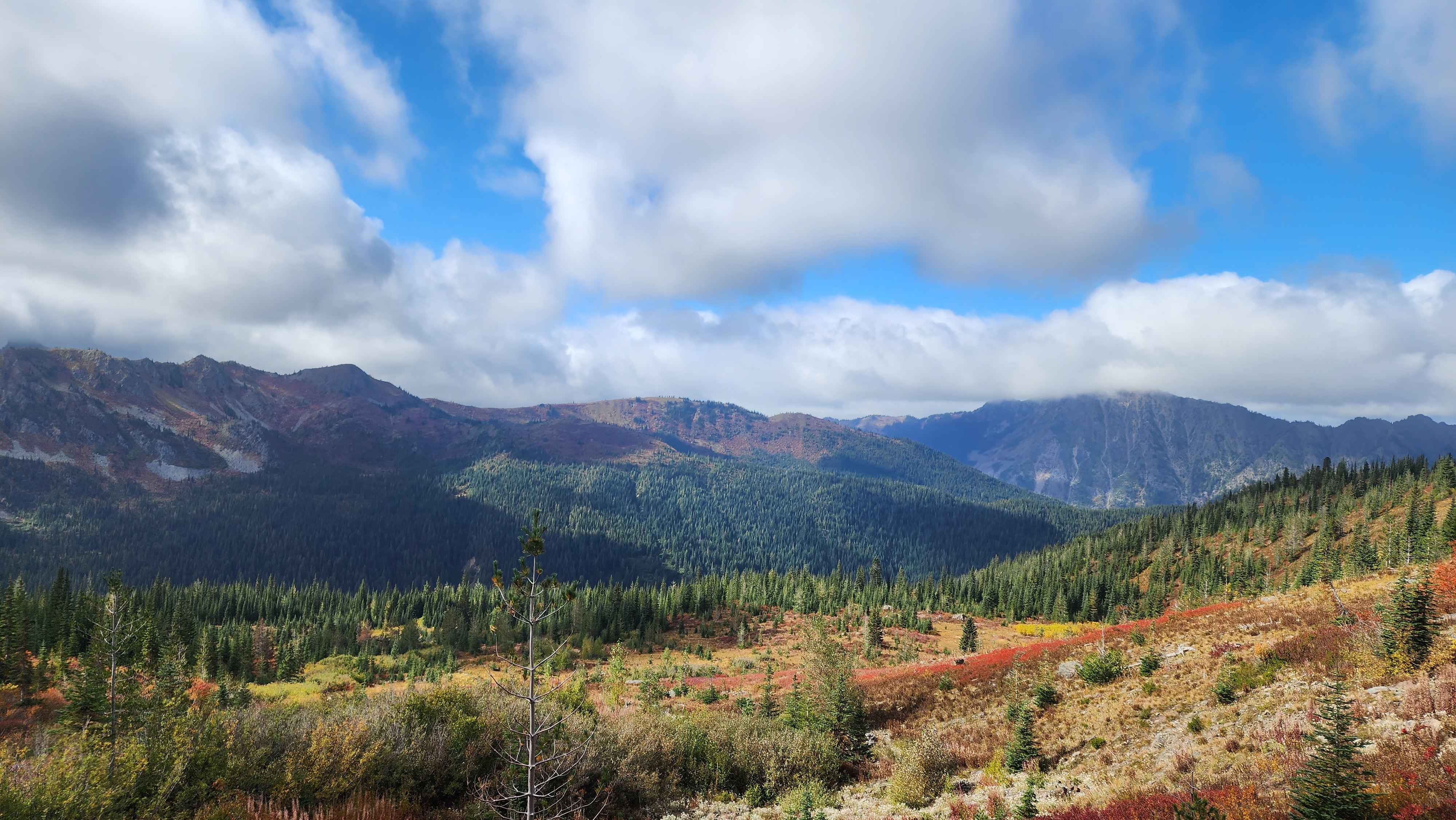
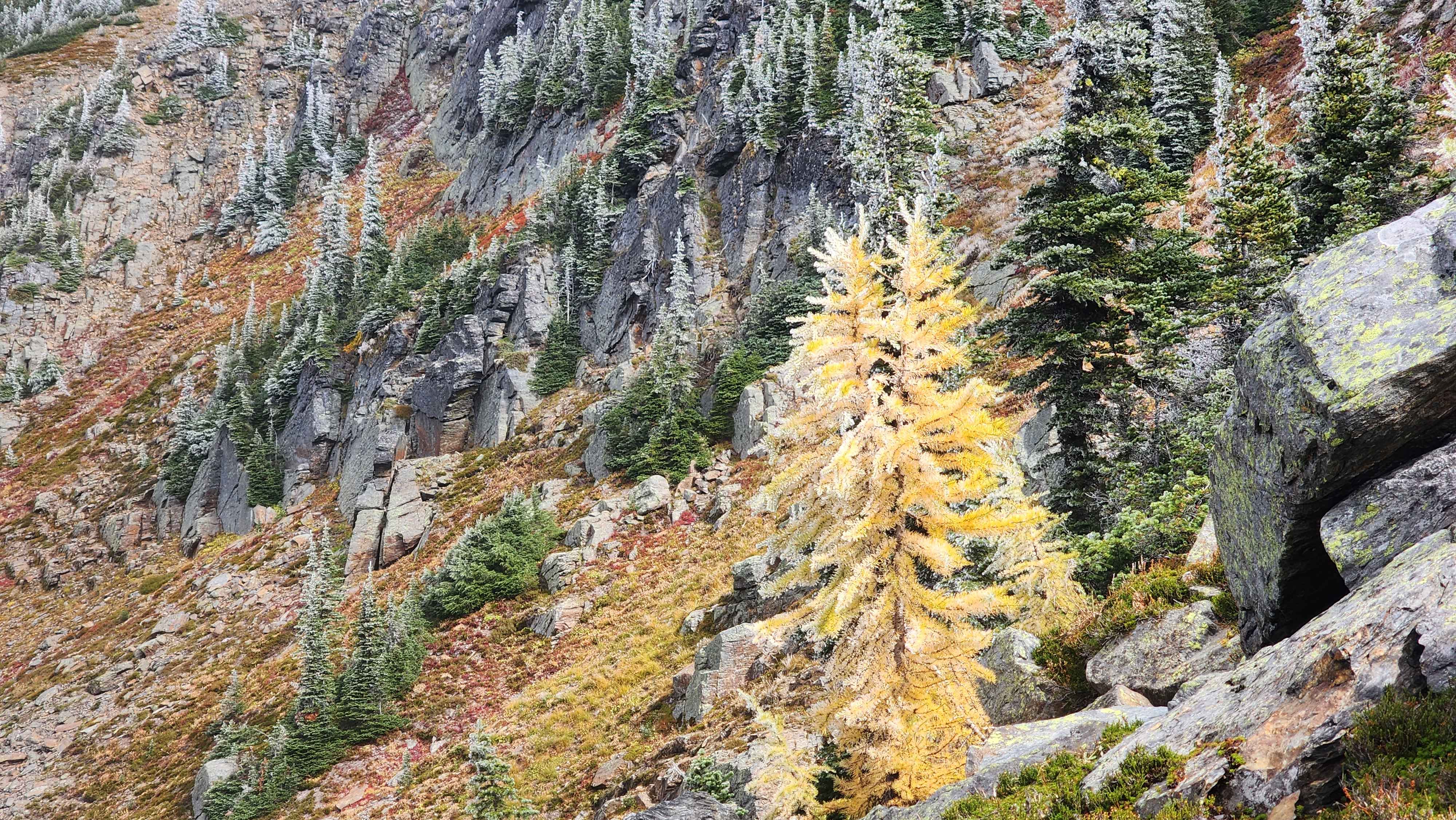
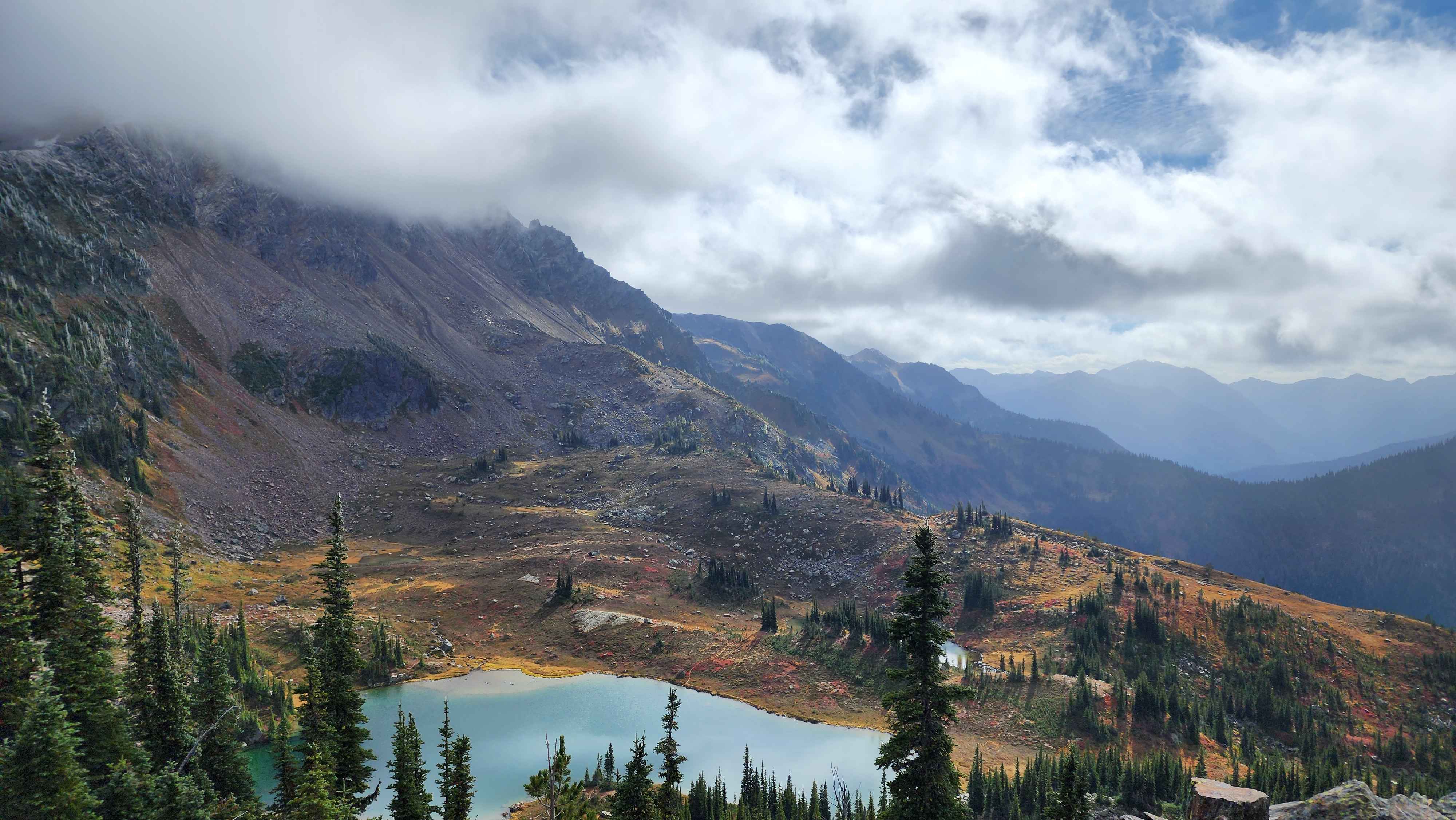
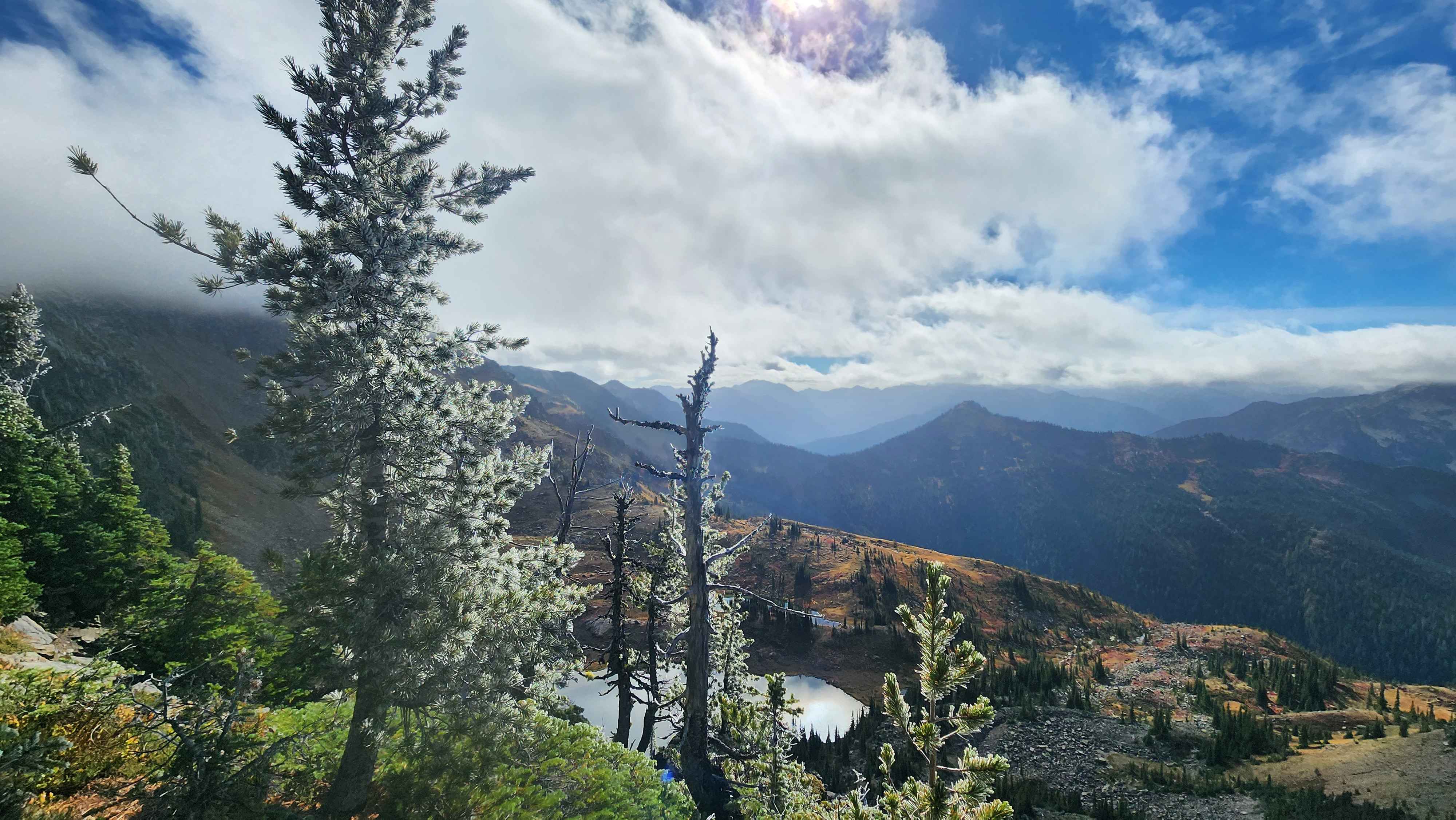
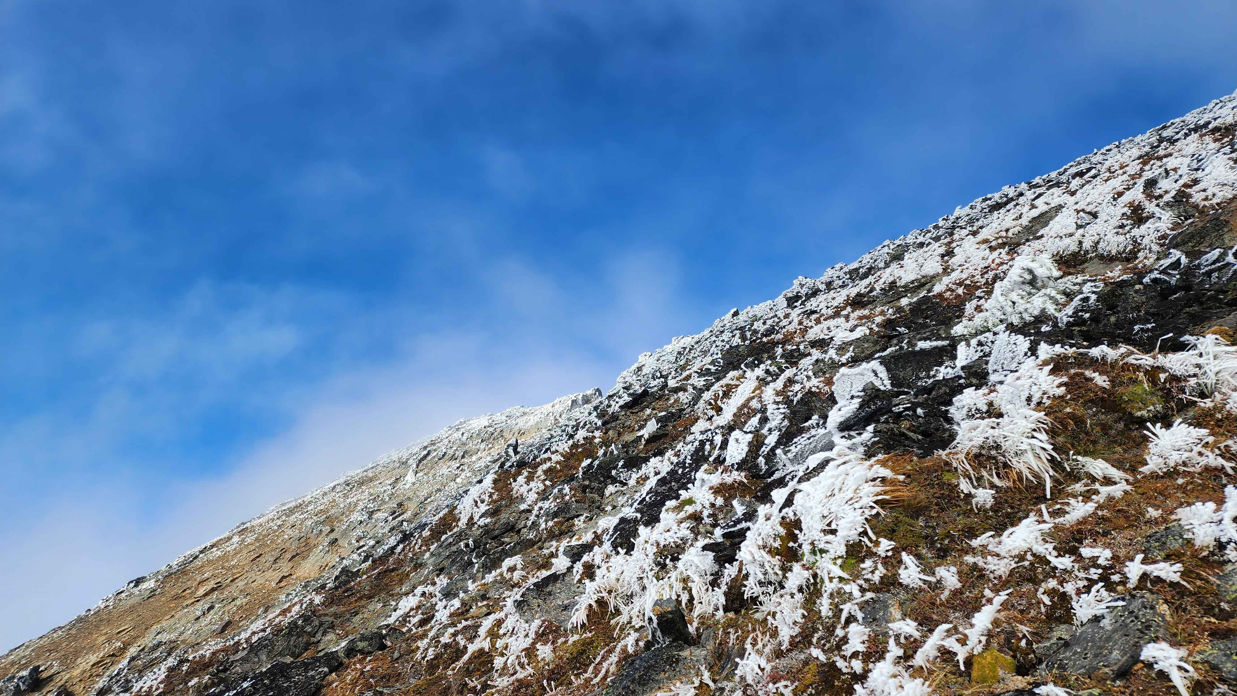
On the saddle I had a great view of Lake Grace and Snowgrass Mountain. At this point the snow also started. Fortunately, the snow was only on the trees and rocks. The snow was situated only on the west side of the plants and rocks; there was clearly a strong wind to the east when the snow had fallen the night before.
A golden larch with snow on it
Lake Grace down below
Lots of golden larches on the ridge
Snowgrass mountain socked in with clouds; it occasionally peaked out from behind the clouds
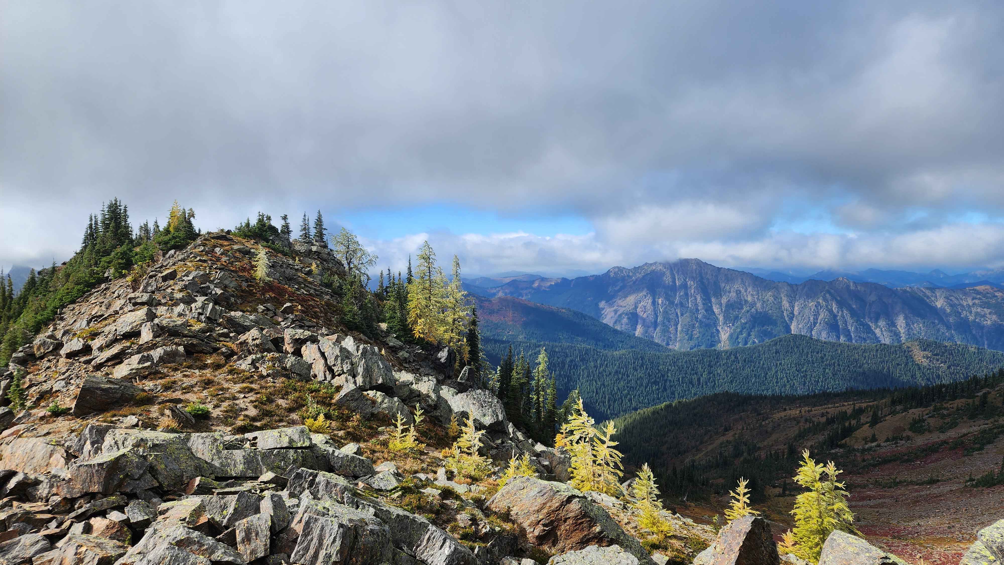
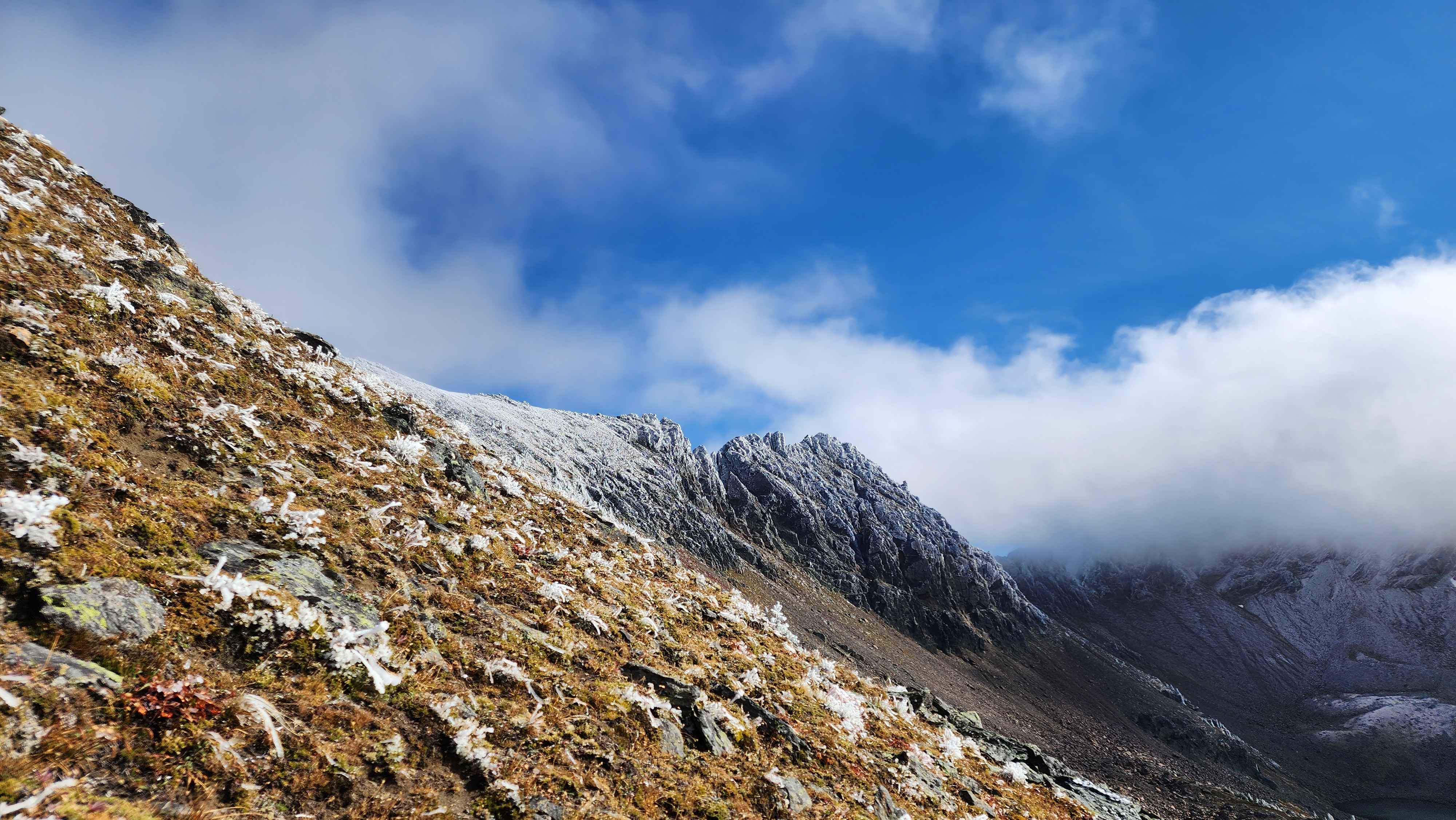
There was a good trail across the ridge marked with cairns. The trail ended after the defined part of the ridge at around 7000’.
Hiking up the ridge
Almost to the end of the defined ridge at 7000'
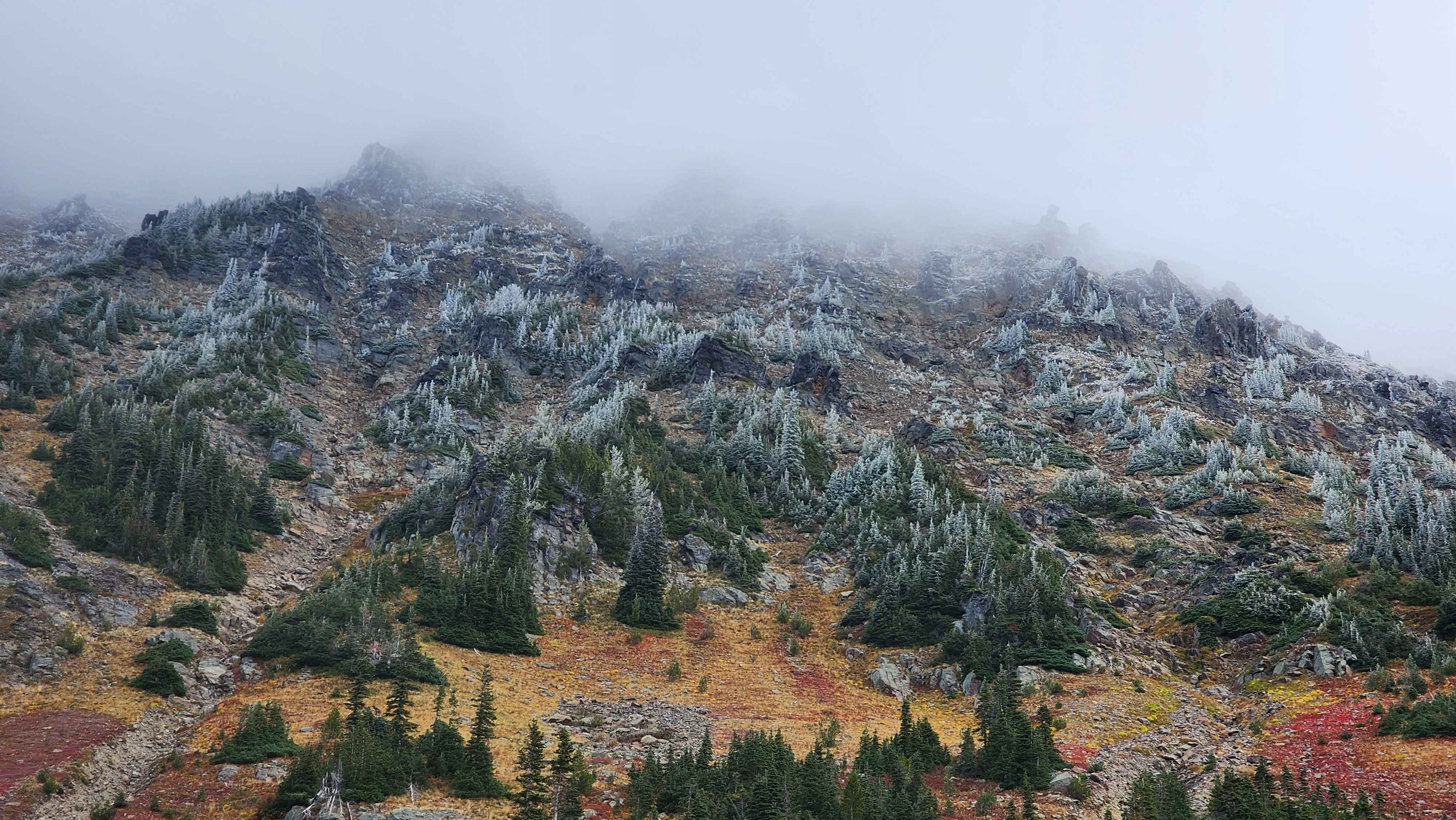
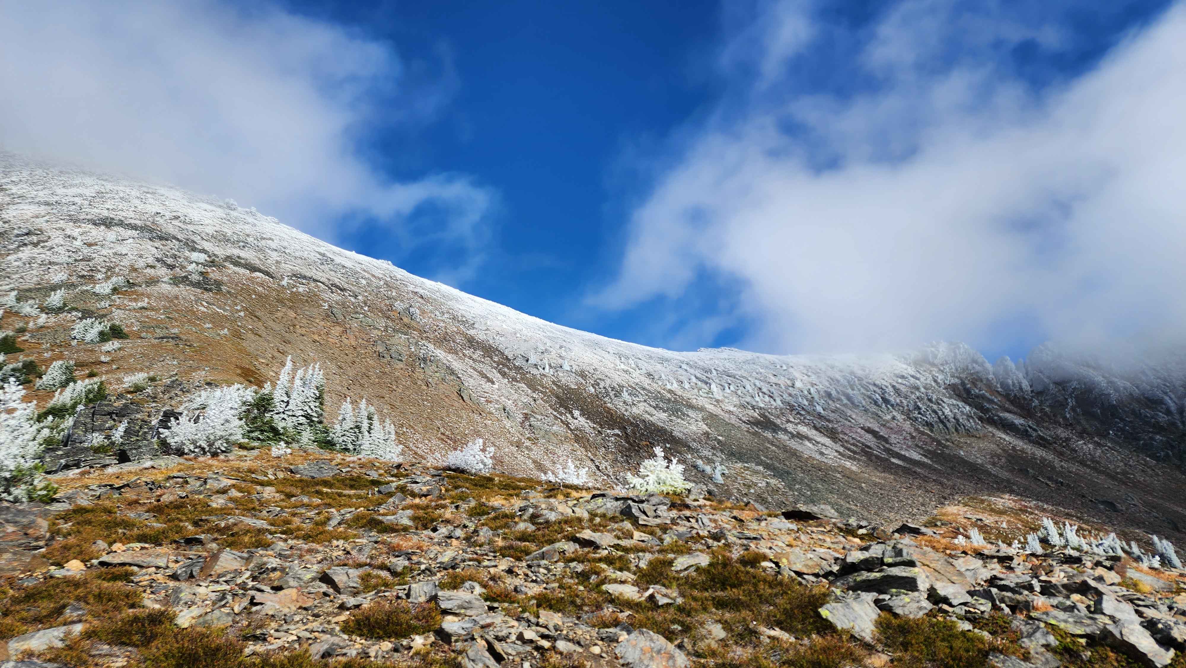
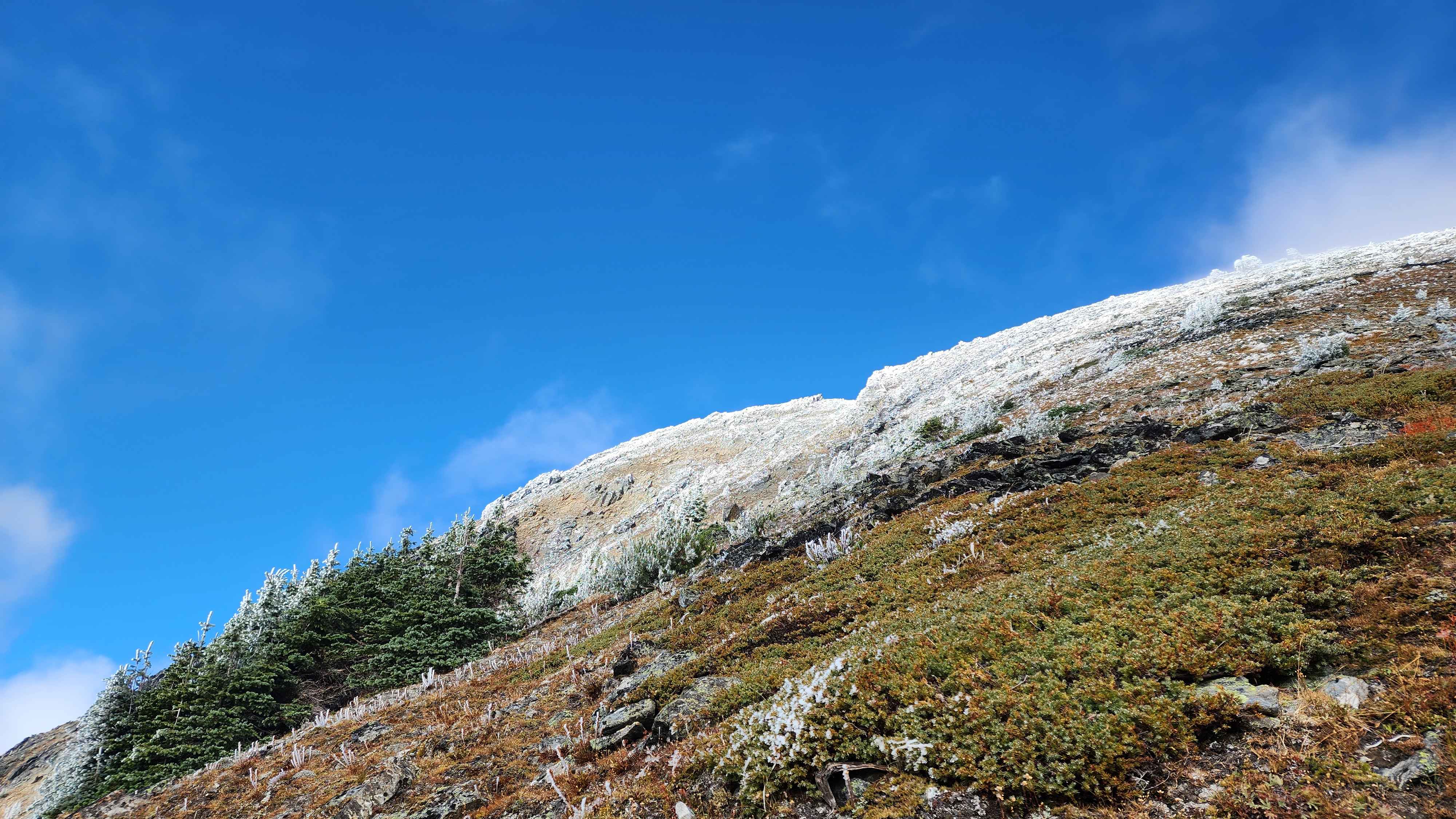
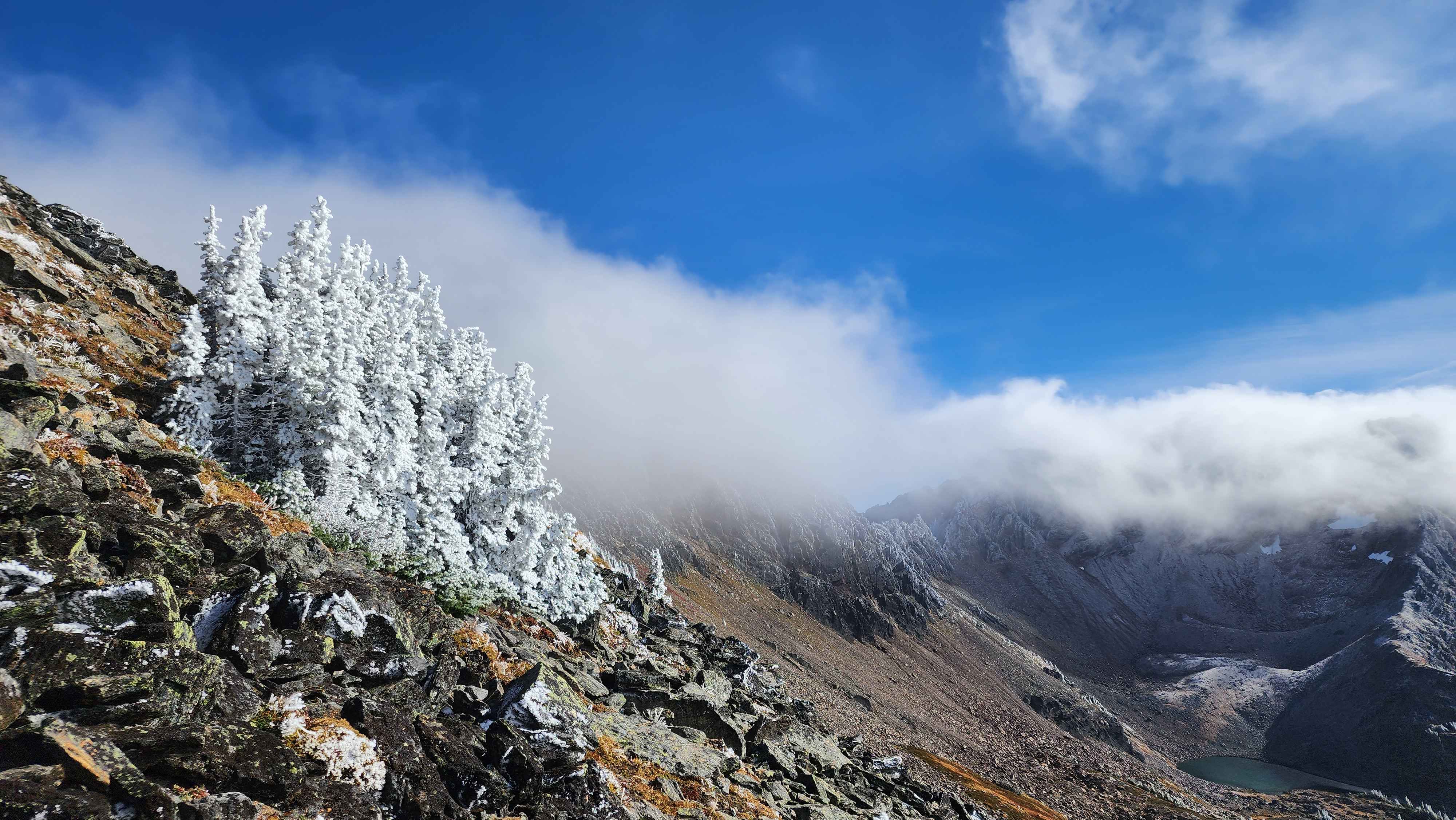
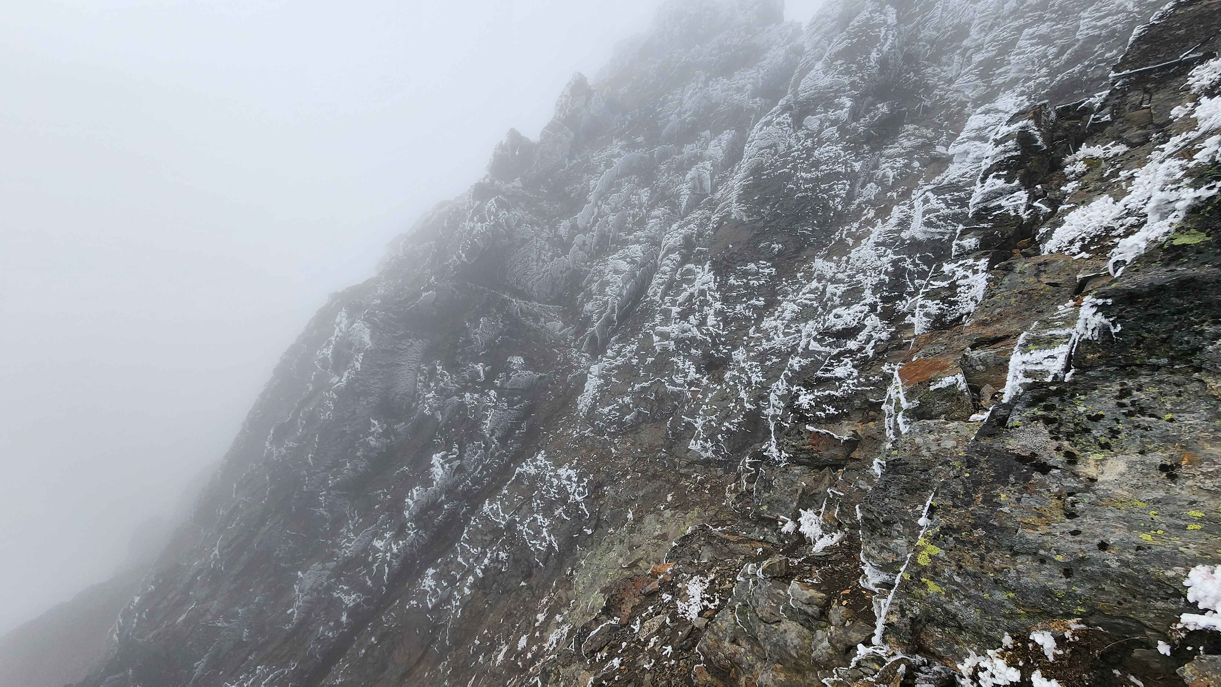
The trail and cairns ended once I started up the face of the mountain. Despite how snowy the mountain looked up higher, the snow was only on the west side of all the plants and rocks; it wasn’t accumulated anywhere.
The mountain finally came out of the clouds
The mountain ridgeline
Some very snowy trees
Almost to the point where the route goes left and traverses the mountain
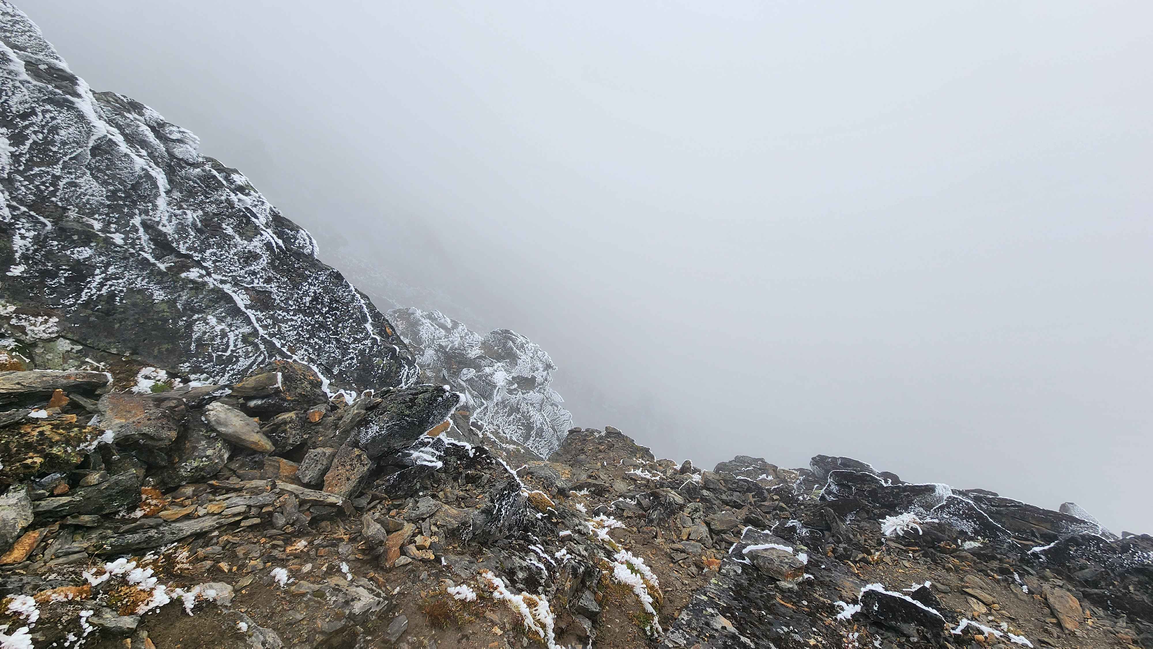
Once I started the traverse to the summit, the weather shifted. Clouds rolled back in over the summit and the wind kicked up. I accidentally went too high and had to walk back down to get off a ledge. The navigation was pretty hard since I couldn’t see very far ahead of myself. I was mostly walking blind using my gps to find my way. I’ve climbed in plenty of true whiteouts before, so I wasn’t super worried about the low visibility.
The visibility was starting to get pretty bad
Once the snow started falling the visibility got even worse; it was near a whiteout. The snow was blowing right into my eyes which was super annoying. With how fast it was blowing it really stung my eyes. I didn’t bring ski goggles which was clearly a mistake. I did have glacier goggles, but they fogged up too bad with my shell jacket pulled up over my nose.
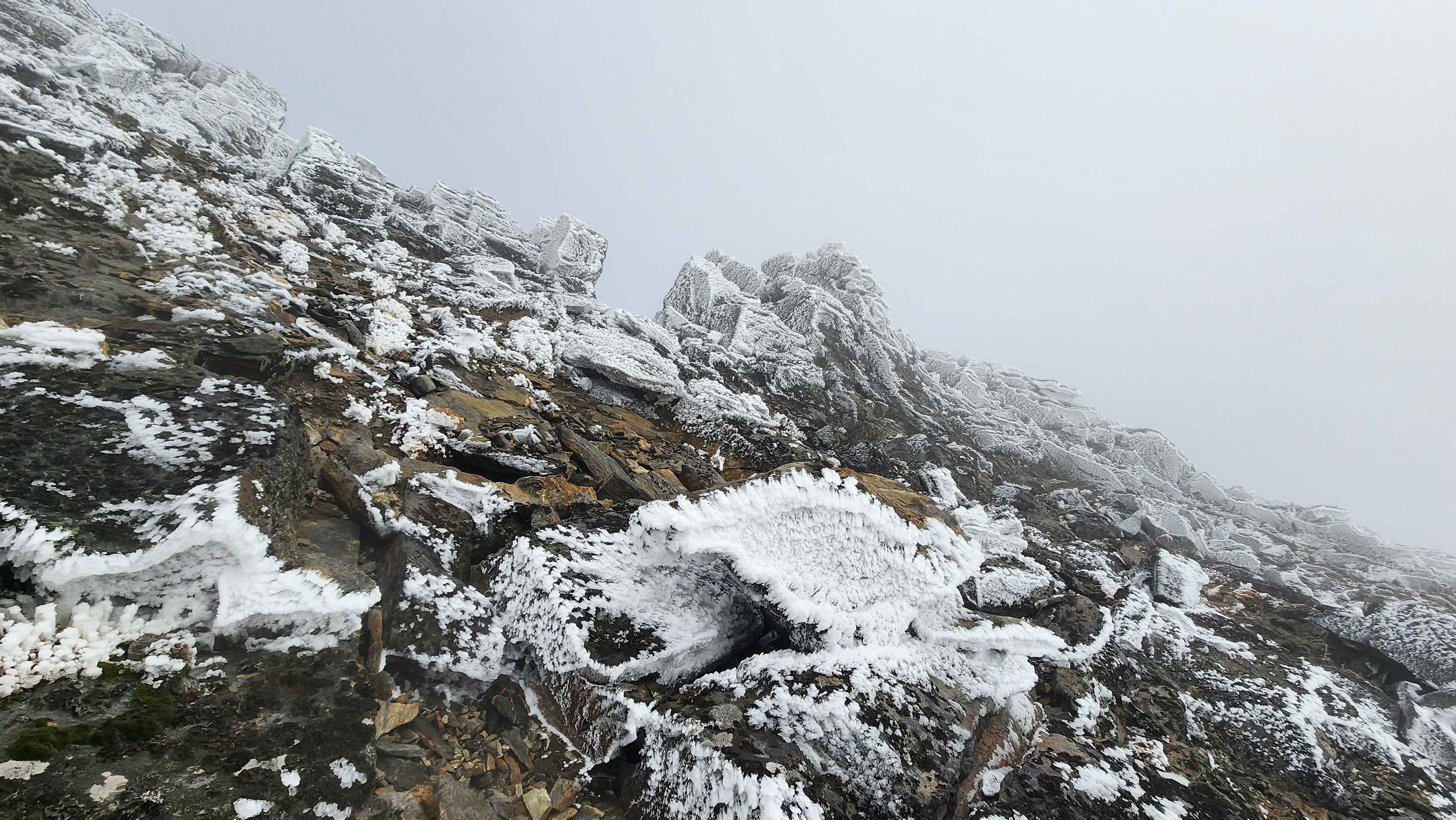
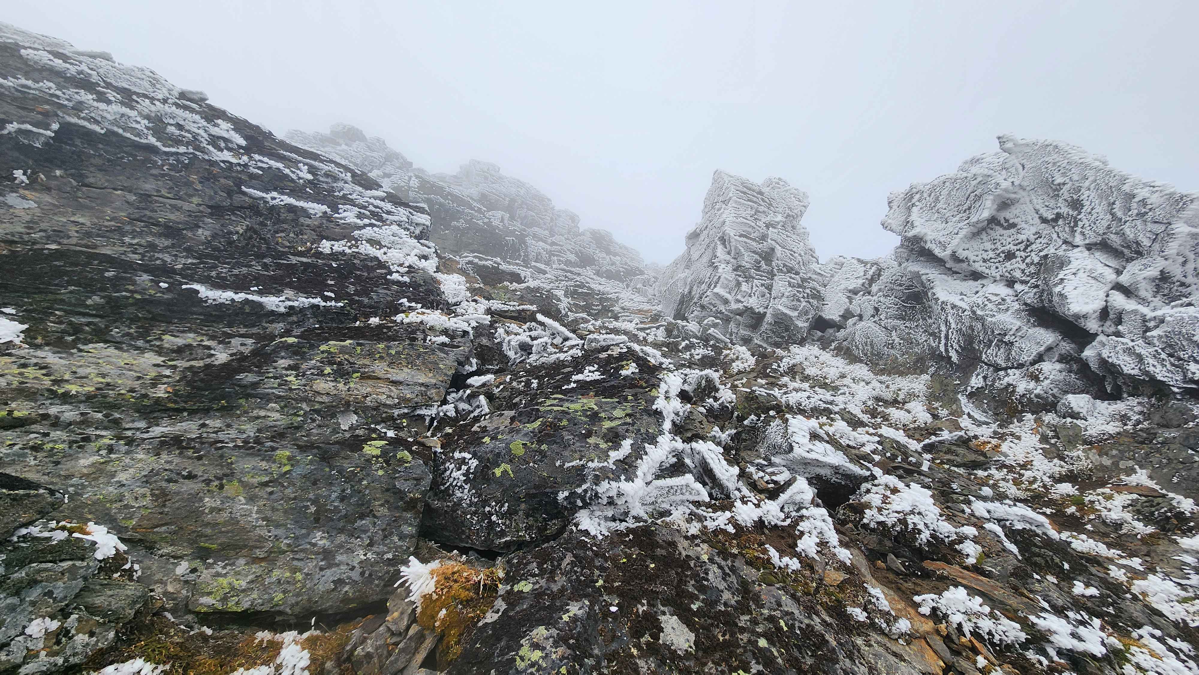
I made it to the scramble section after a lot of wrong turns and backtracking. Fortunately, the scrambling was pretty easy, and it wasn’t that hard to navigate to the summit. This was the first time I’ve ever been happy the scrambling wasn’t hard.
The start of the scramble
A section of the scramble
I couldn't see where I climbed up from
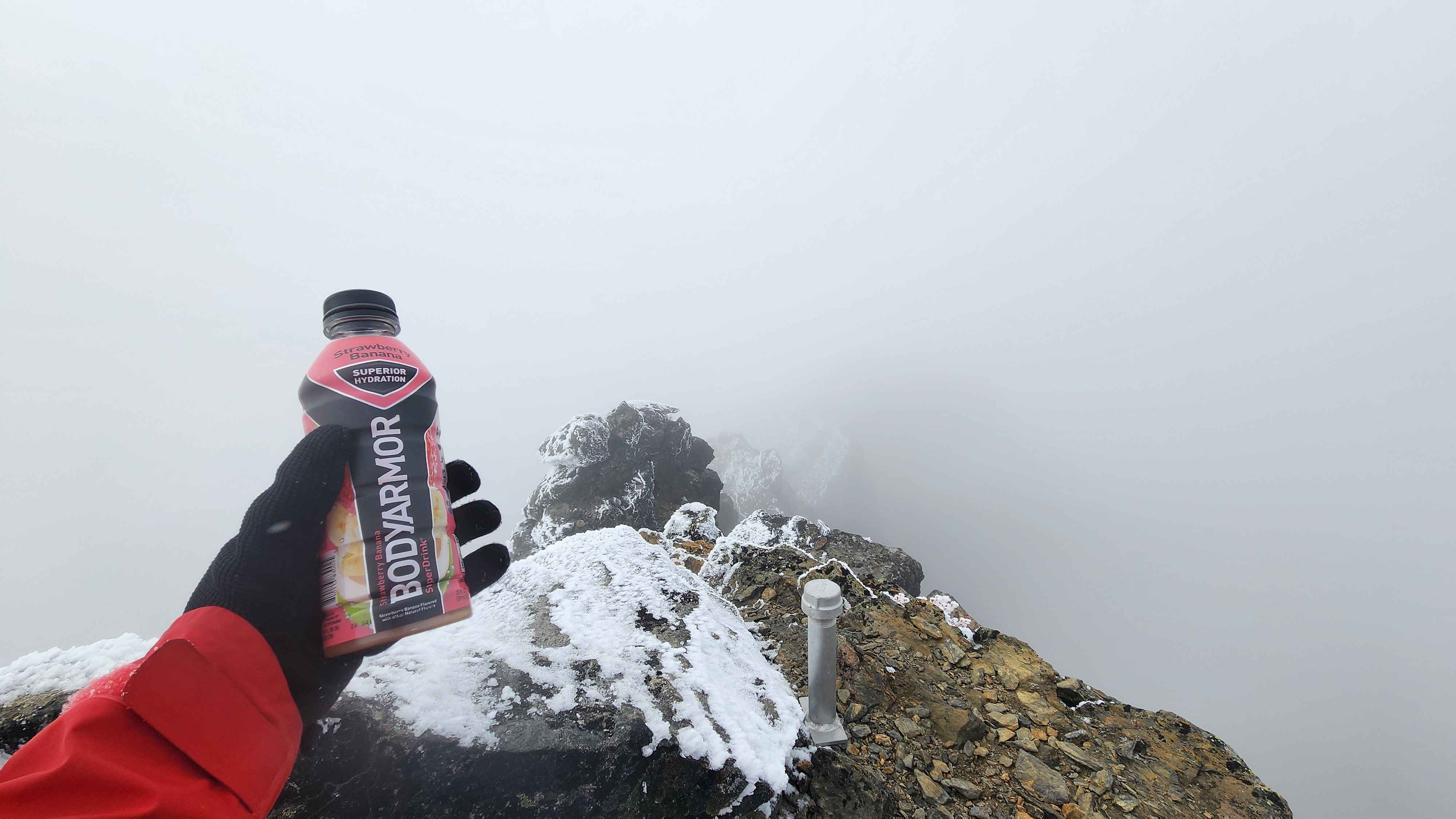
At the summit the visibility was the worst. The wind was blowing from the east, so once I got on the ridge, I had the full effect of the wind. I found the summit register, which was in a metal pipe, and wrote my name down.
It was almost a whiteout at the summit
I’m surprised how well I navigated down considering the conditions. I easily made it down the scramble section and only had one wrong turn after the scrambling.
Quite a bit of snow was falling but none was sticking due to the high winds
I made it back to the main trail before dark, which was the goal. I still walked most the main trail in the dark. I made it out pretty early at 20:03.