When I hiked up to Foggy Lake in Fall of 2023, I looked up at Del Campo and joked to my partner that we could climb that no problem. We ended up climbing to the top of
Gothic Peak that day, which was my first class 3 climb ever. At this point in time, I thought class 4 was straight up climbing and required roping up. Climbing Del Campo became a running joke that day since it was such an intimidating-looking mountain.
Little did I know that Del Campo would later become a trivial summit for me. Having just done Del Campo a few days ago on the 10th of September (on the same month of the year I did
Gothic), I can firmly say it was trivial. It’s funny to look back at my old report of
Gothic Peak; I really thought that climb was the hardest climbing you could do without ropes.
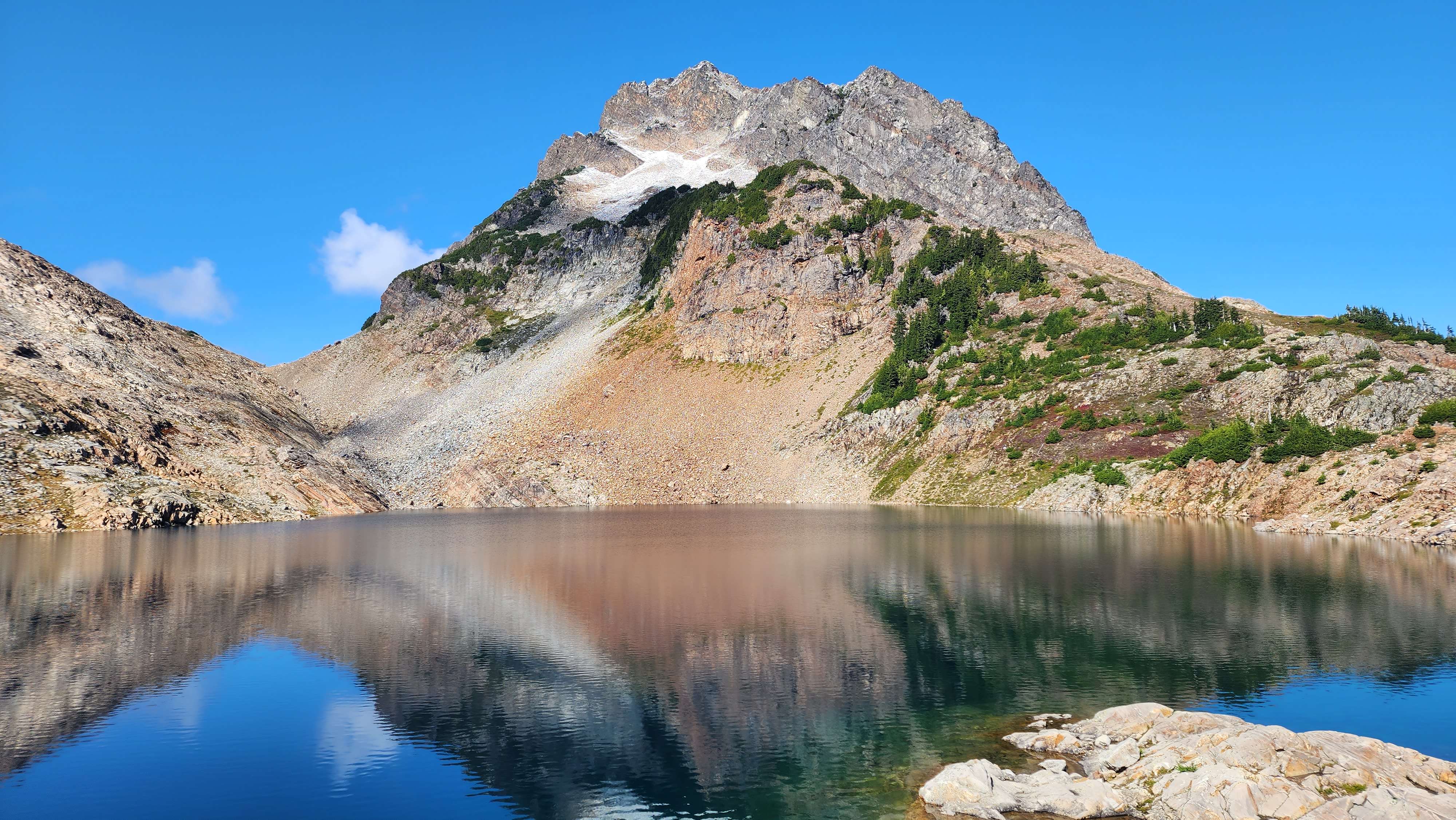
Photo of Del Campo from Foggy Lake I took back in 2023
We got to the trailhead for Del Campo at 12:20. The trailhead is also for Monte Cristo, which gives access to many peaks such as Columbia Peak, Cadet Peak, Silvertip Peak, and Monte Cristo Peak. The trail for Del Campo goes off the gravel road to Monte Cristo.
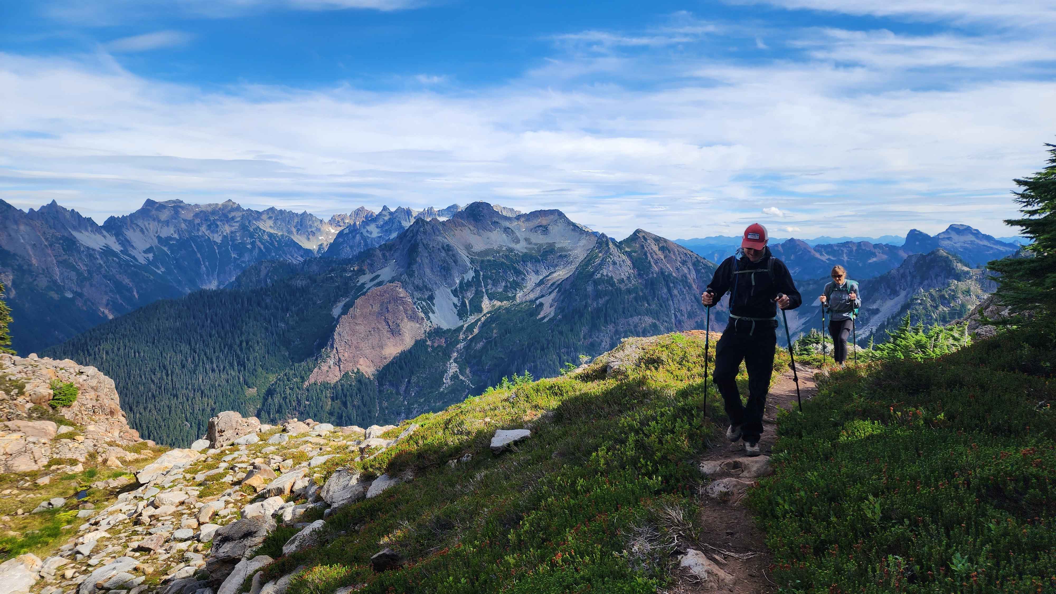
We took the trail split and hiked up the long switchback chain to Foggy Lake. The trail maintenance crew has cut steps into the rock on the switchbacks to the basin, along with improving the trail to Foggy Lake. I’m not sure why they are spending money cutting useless steps into the rock, there are lots of other things that are more important. Nobody needed these steps. The improved trail to Foggy Lake also makes no sense since the original trail was actually more interesting.

Hiking to Foggy Lake
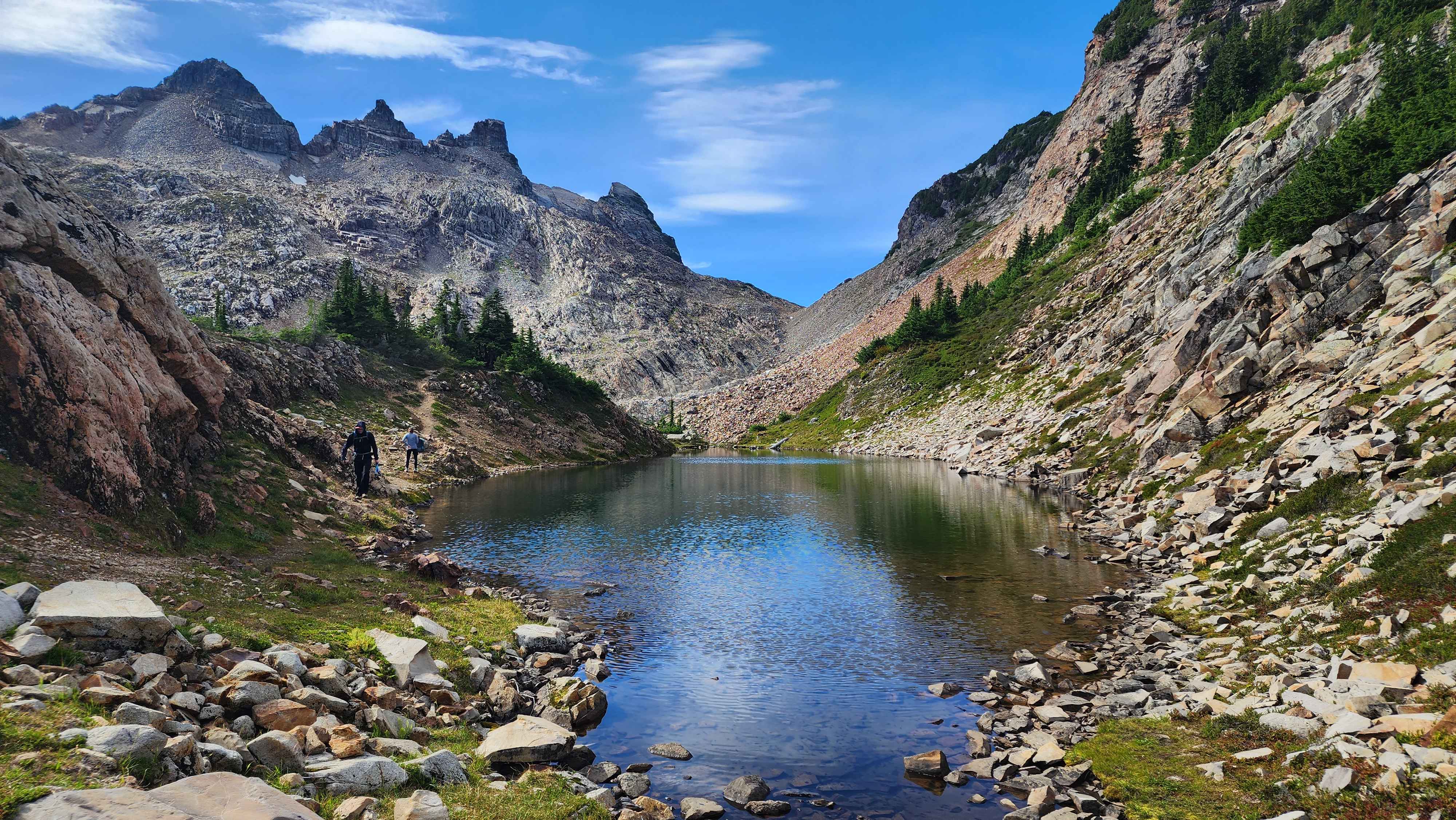
Anyways, we continued on the climbers trail that goes around the east side of the lake. The trail passes by a small tarn separate from the lake. We used this spot to fill up our water, which was much nicer than the main lake where there were lots of people sitting around and swimming.

Hiking the climbers trail that goes around the east side of the lake
The tarn we used to fill up our water
The trail then went past the tarn and up to the rock field crossing. This section of the trail was unexpectedly beautiful. It was vastly different than the trail up to
Gothic Peak; it was a lot greener with lots more foliage.
Hiking the climbers trail to the rock field
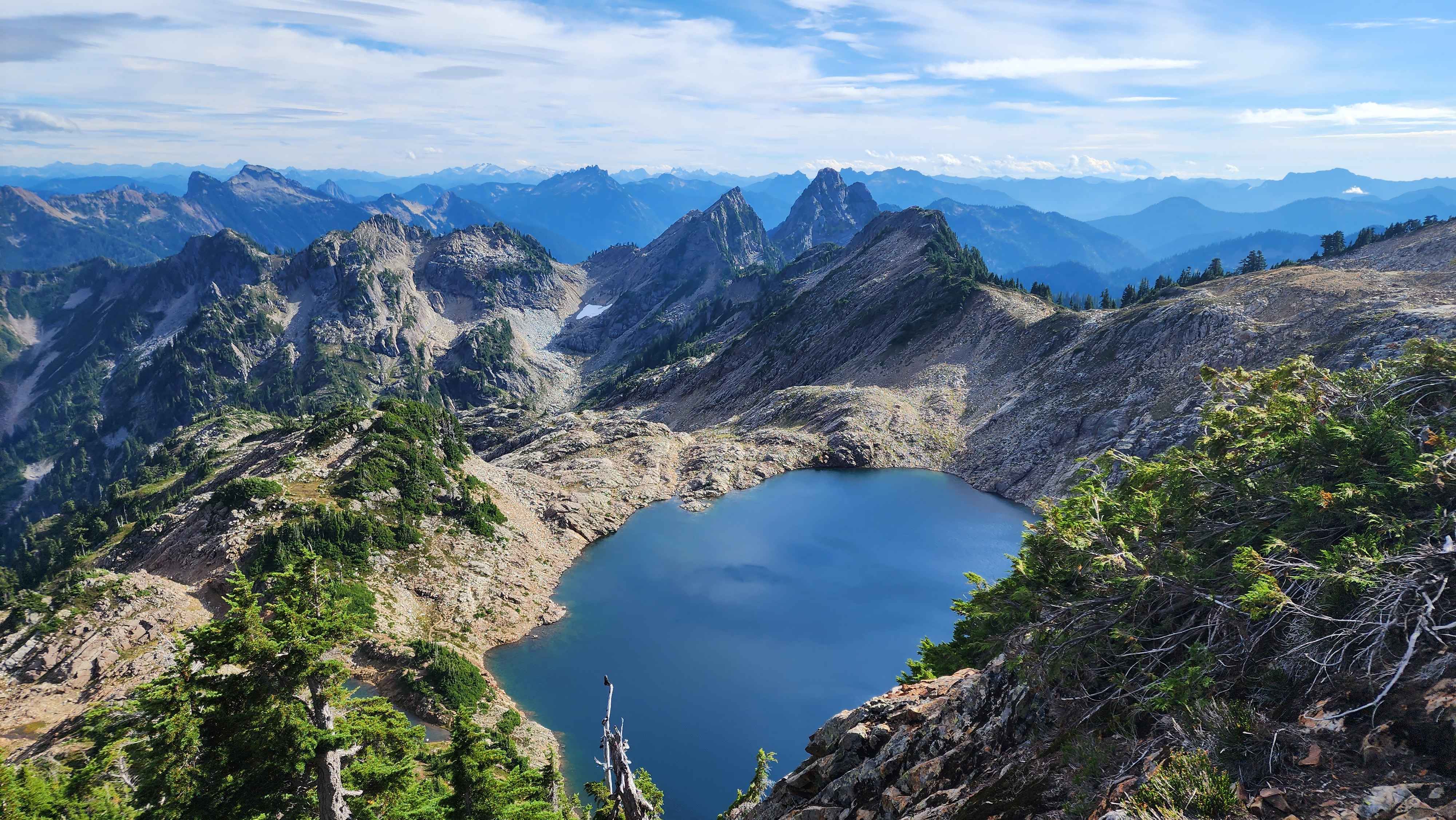
Photo of Foggy Lake from above

Putting helmets on just before the rock field
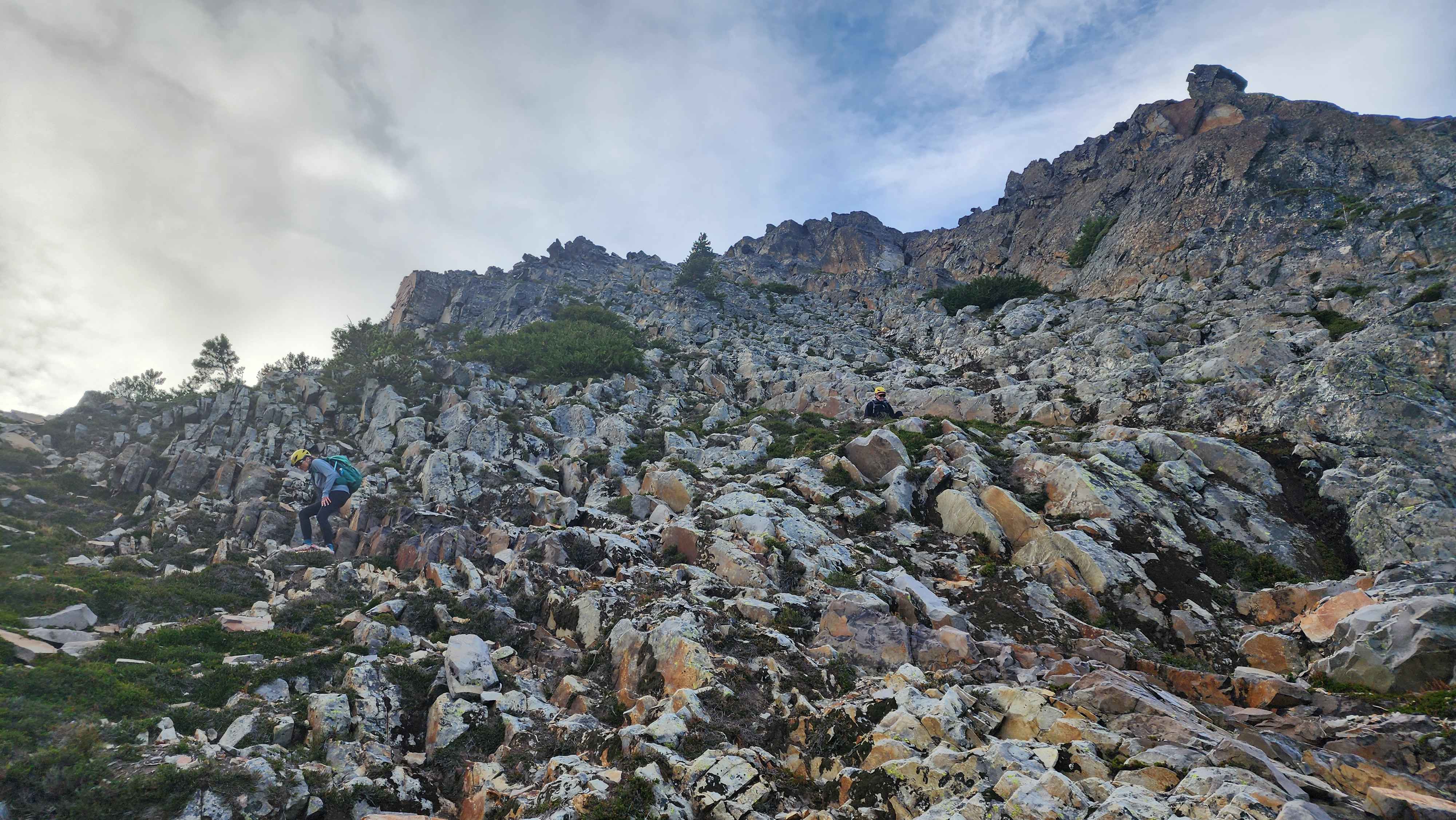
We continued across the boulder field to the start of the scramble. We accidentally went up the loose rock chute, which wasn’t necessary. It would’ve been best to go straight to the rocks instead (which I did on the way down). We dropped our poles below the scramble and headed up.
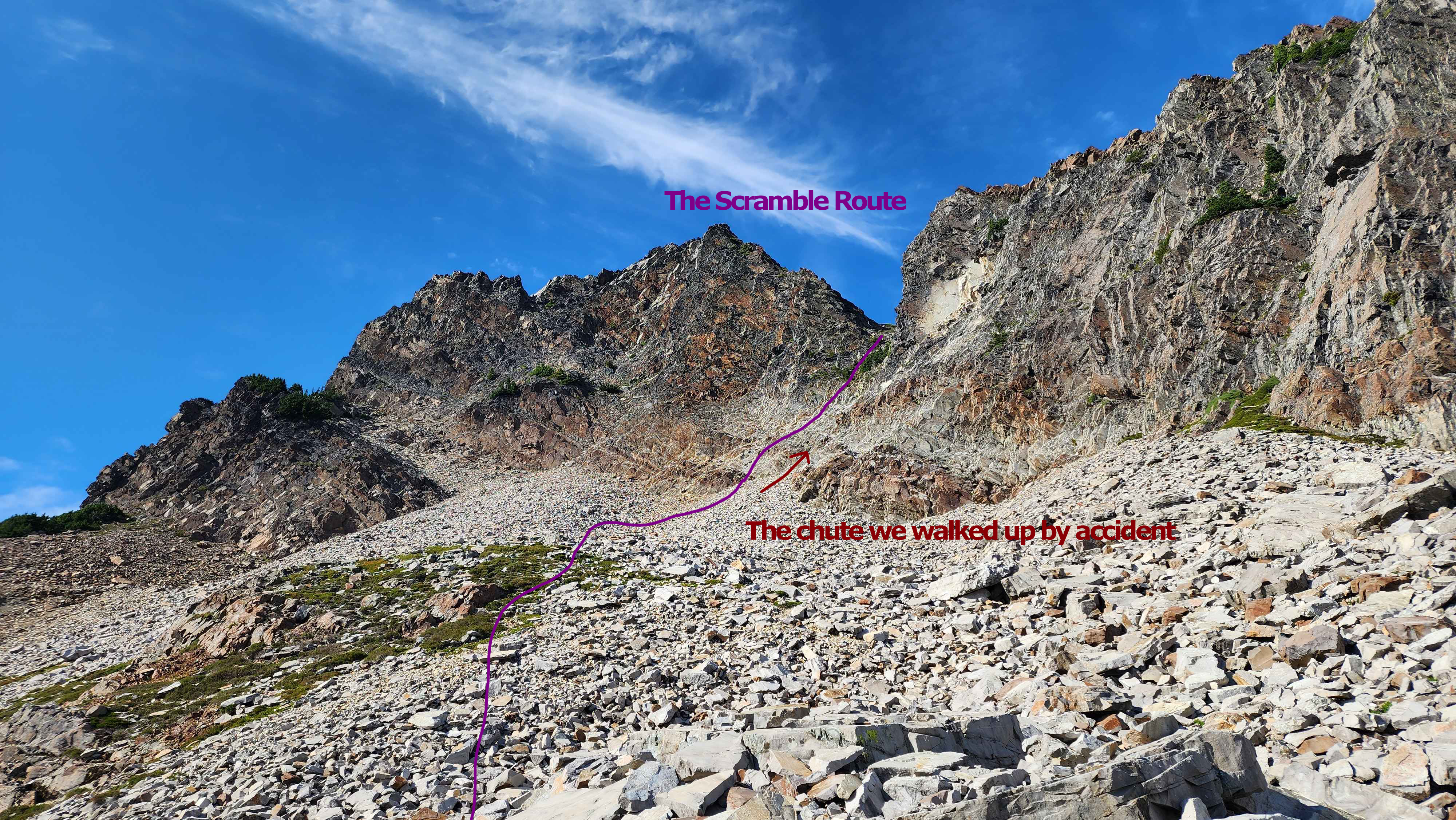
The route across the rock field and the first part of the scramble

Walking across the rock field
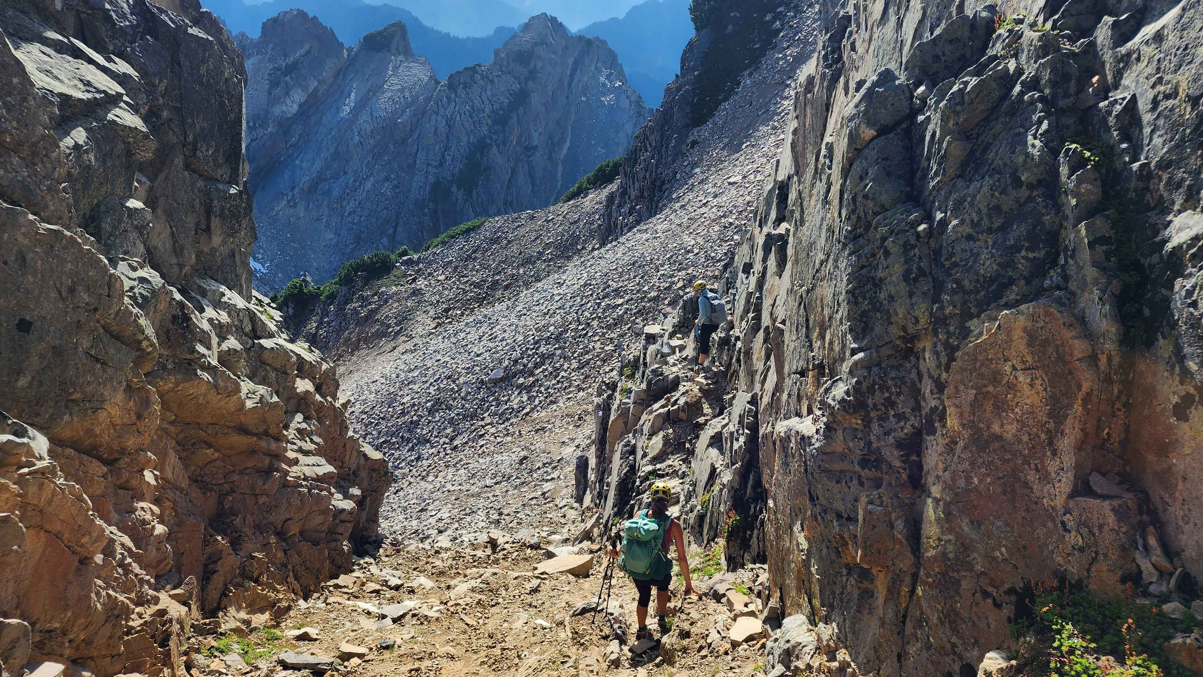
Using a small ledge to get back to the scramble route after going up the rock chute
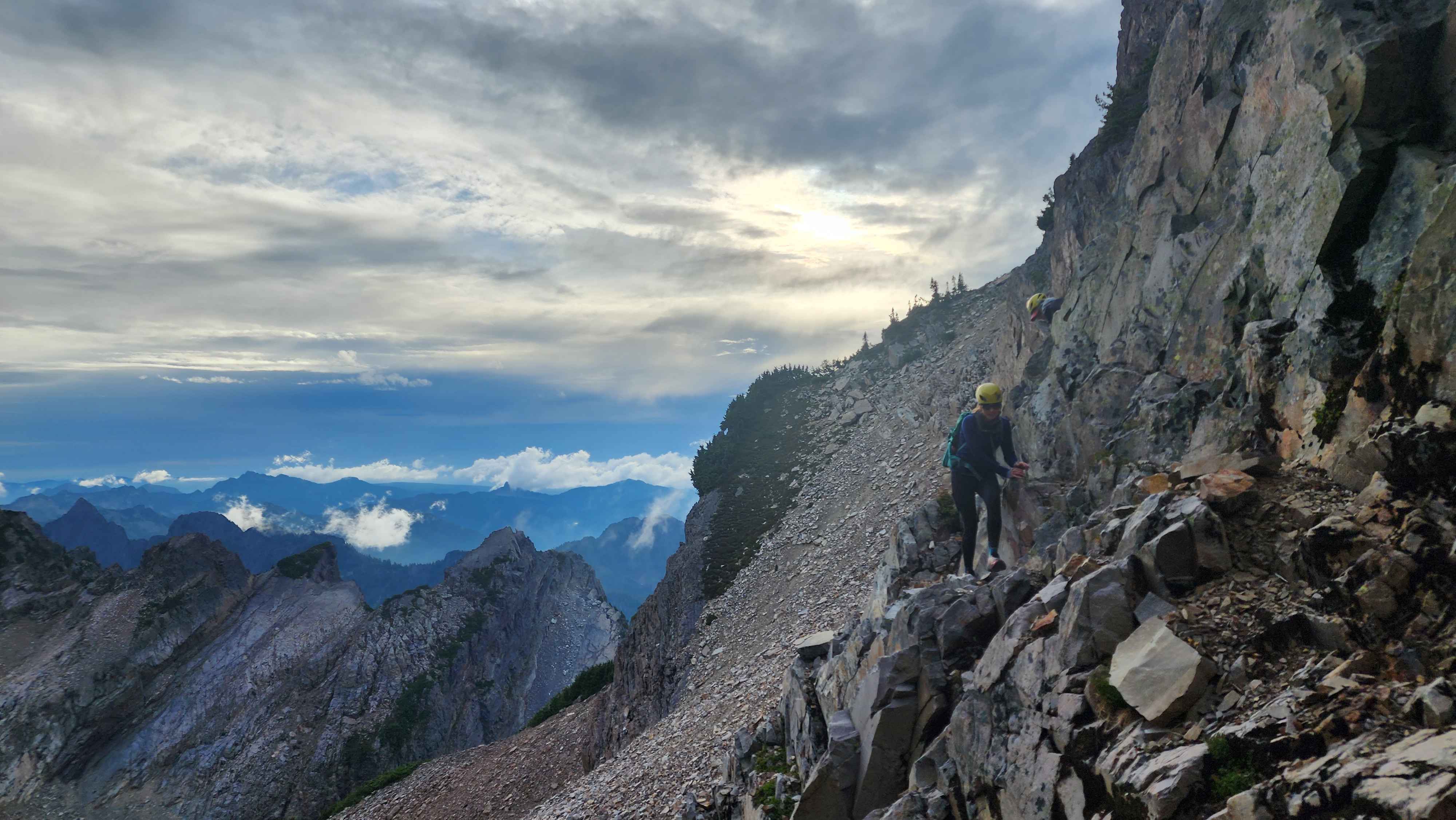
The scramble was much more fun than expected; It’s probably the most fun scramble I’ve done (however I just did Cashmere Mountain yesterday, and I feel like that one was more fun since we took a route with some fun, short 5.3-5.4 sections). I probably could’ve done it in about 10 minutes, but I had to wait a while for my group to catch up on the climb. There are many different paths to the top, which is very nice.
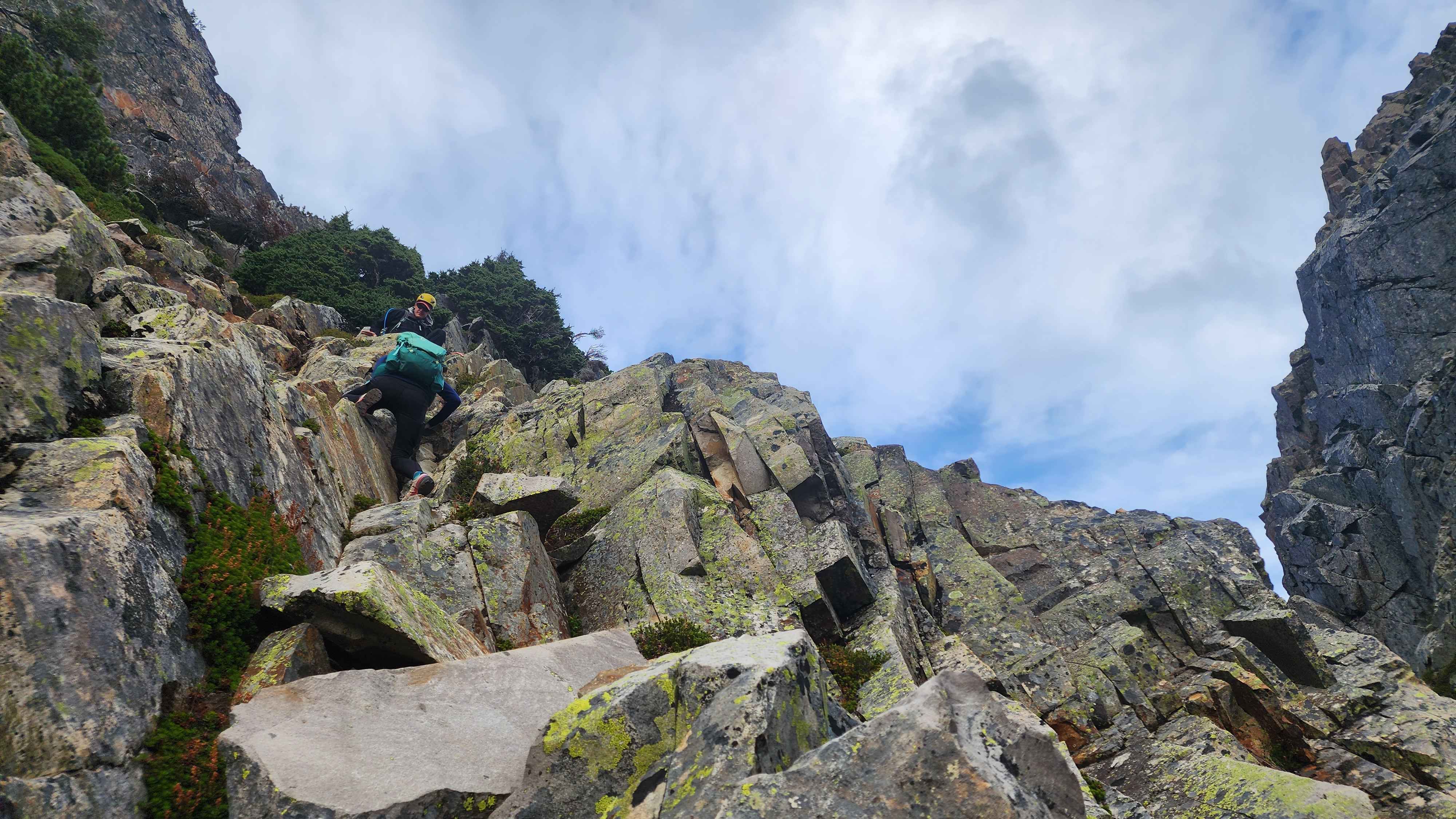
Climbing the first scramble section (photo from the climb down)
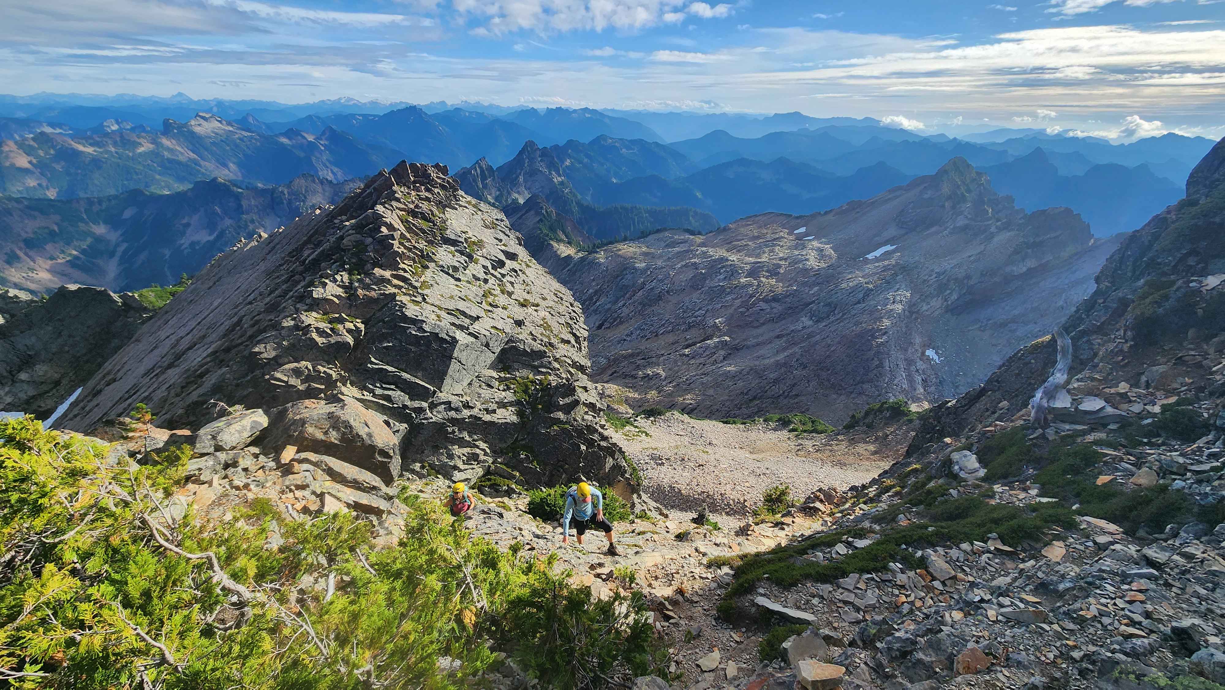
On the small non scramble section inbetween the first and second scramble sections
Climbing up the second scramble section
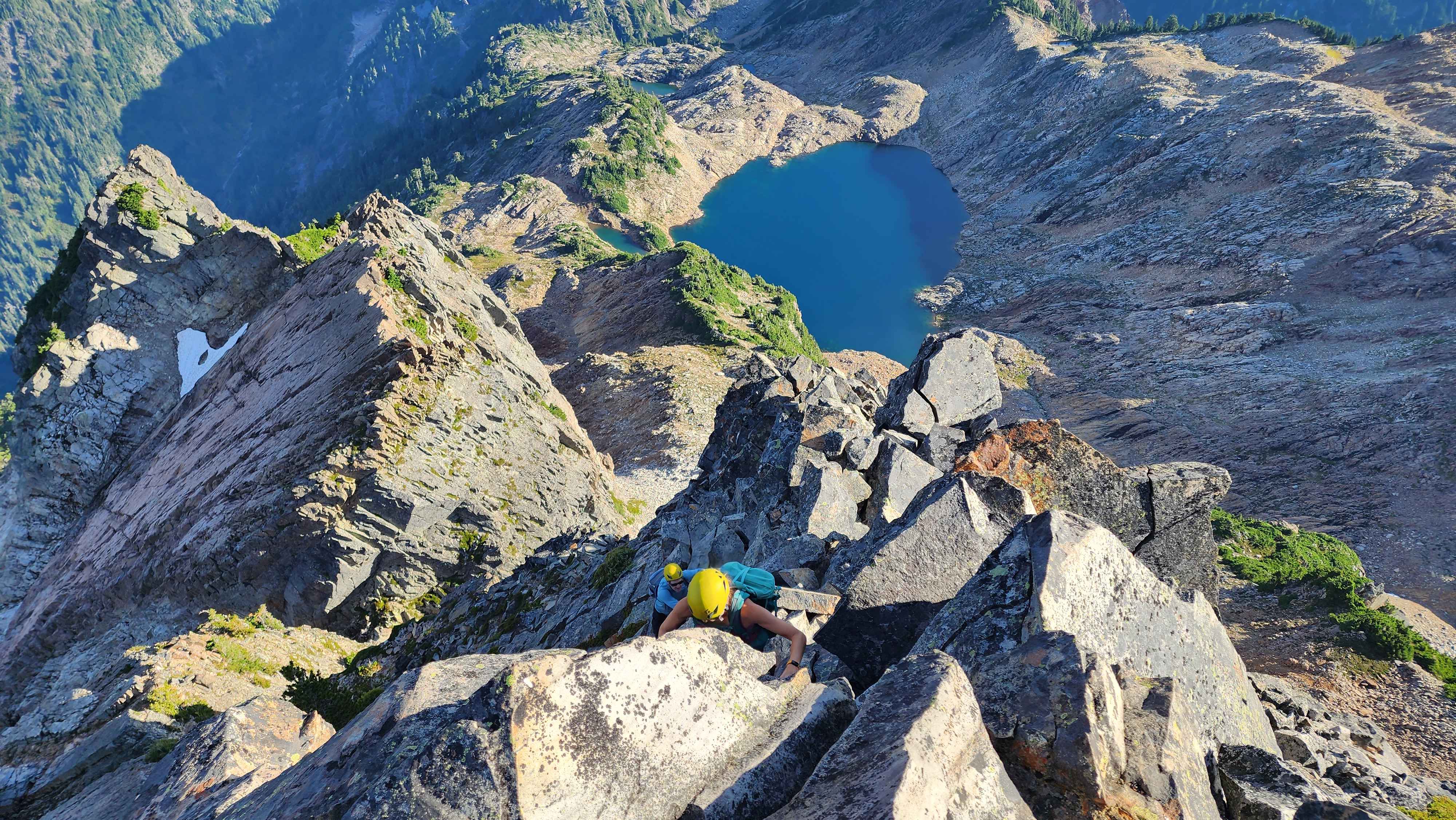
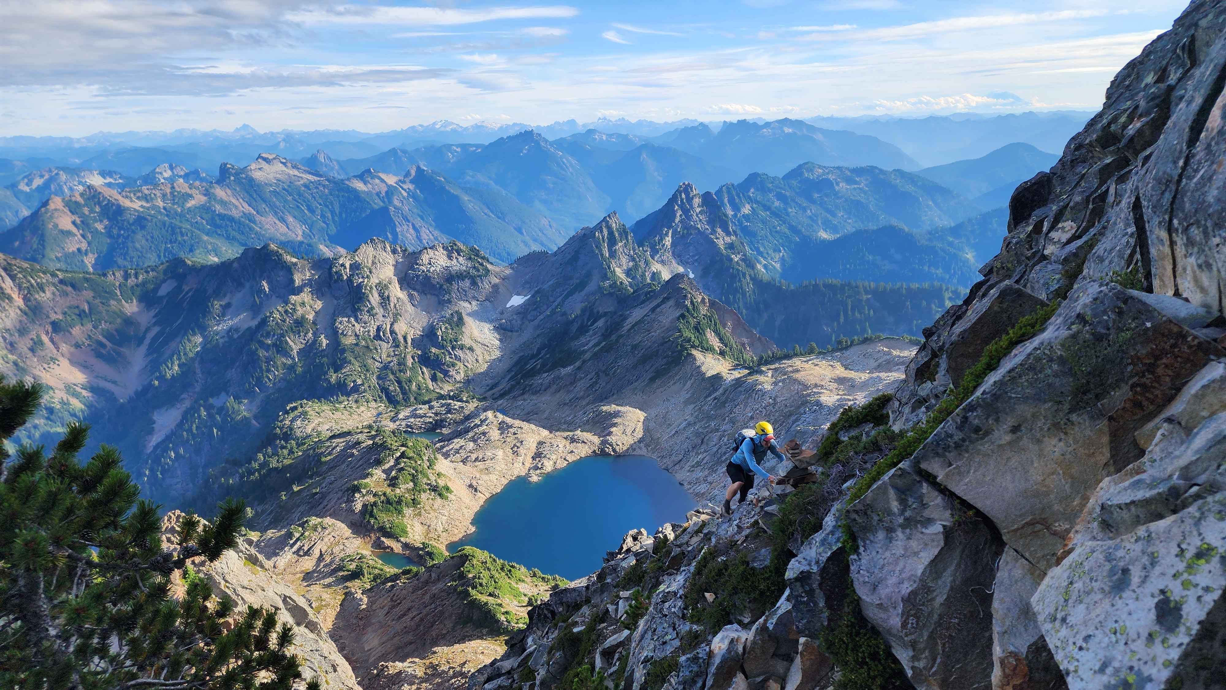
The final little climb to summit
We made it to the summit at around 16:40, and we stayed there for almost an hour. There was a very filled summit register at the top; this peak is clearly very popular. The views at the top were super cool, especially with the clouds that day.
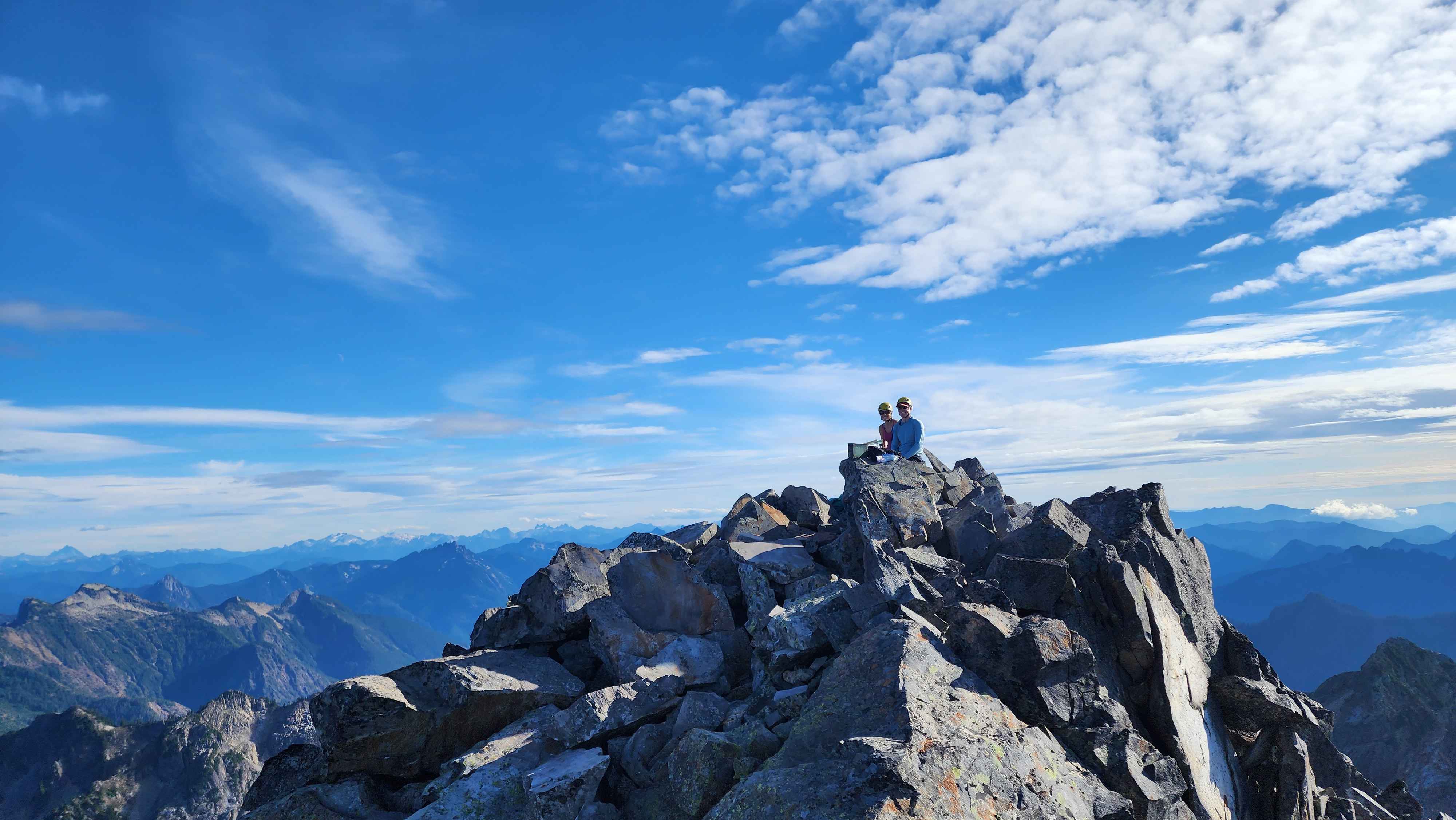
Sitting at the summit
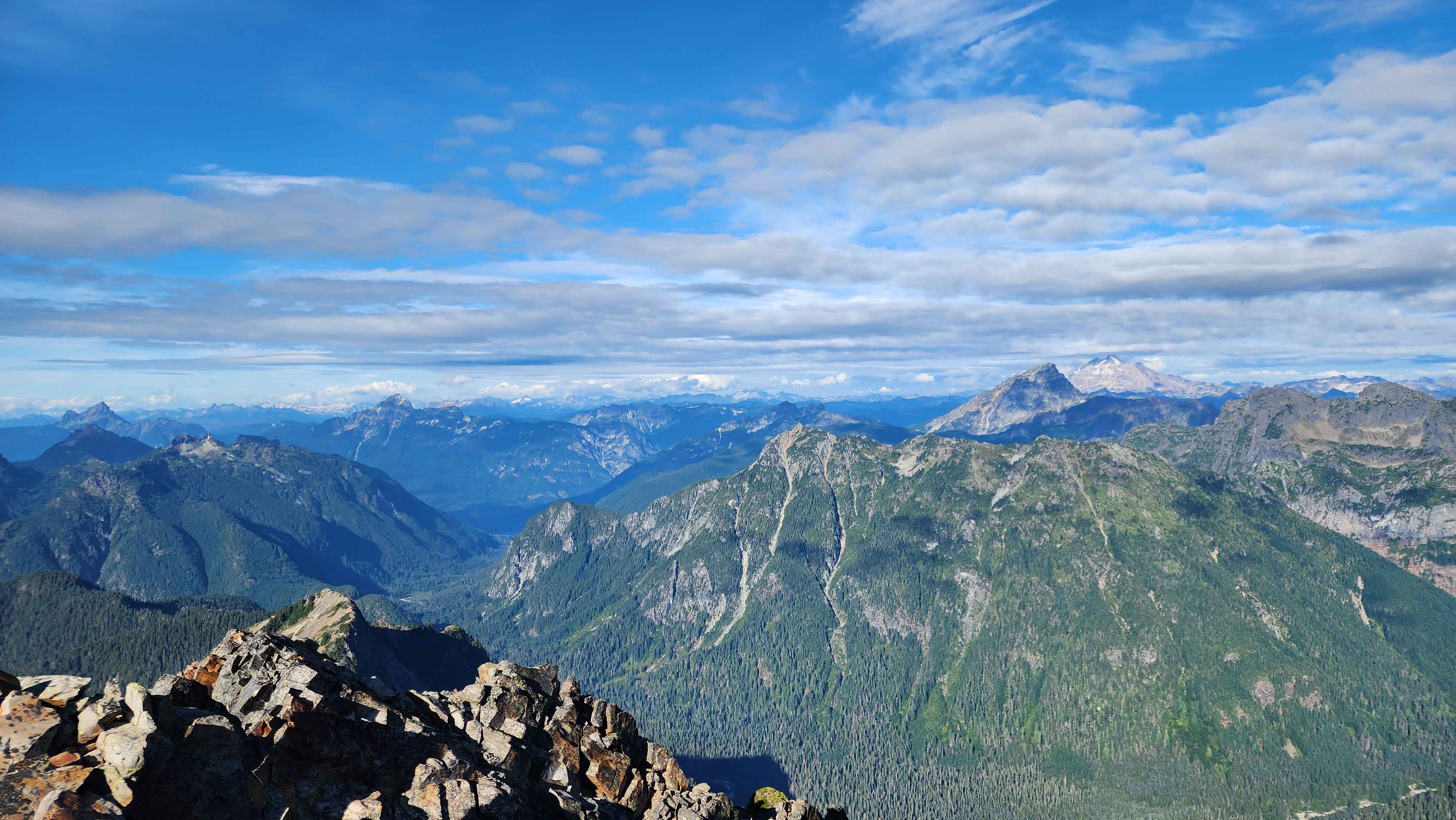
Glacier Peak the furthest to the right with Sloan in front. White Chuck Mountain sticking out the highest to the far left, with
Mount Forgotten in front and Dickerman further in front and a bit to the right. Mt Pugh further to the right in the back after Dickerman.

Clouds were coming up from the valley and evaporating as they got higher

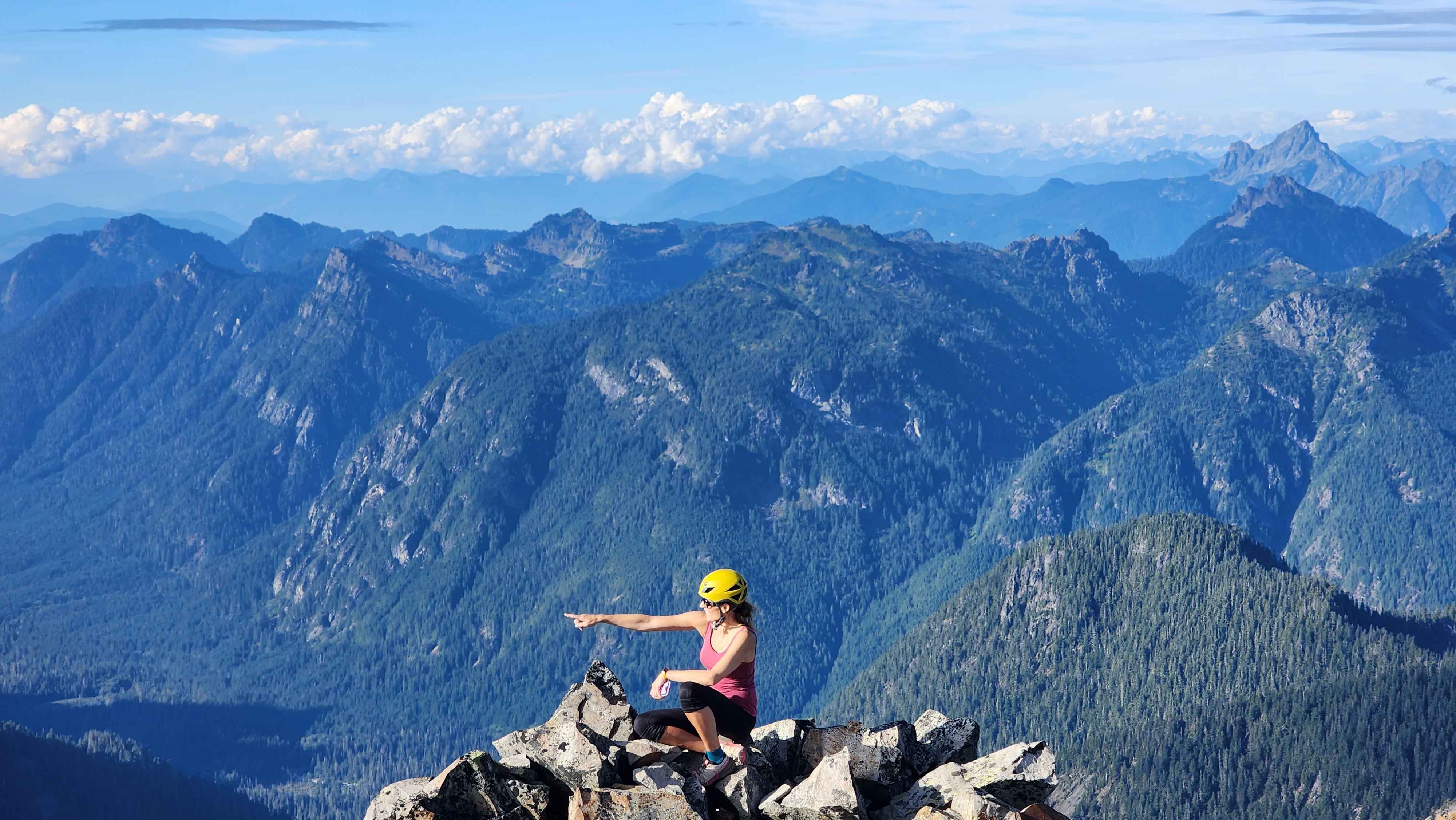
On the north part of the summit block.
Vesper Peak is to the left and Whitehorse Mountain & Three Fingers are sticking out in the background
The down climb was not a problem. We went a different route off the summit block, which felt a lot better than our way up. I somehow took the wrong trail to get down from Gothic Basin and ended up way too high. I still don’t even know how this happened.
Climbing down the face instead of the trail that follows the ledge to the left
Walking back across the small ledge to grab our poles
I also went searching for an old gold mine named the
"Northwest Conosolidated" on the way down, which is why the track goes off the trail around 4000ft. I unfortunately couldn’t find it since the brush was so dense, and the exact coordinates are unknown. This area is definitely my favourite for bushwacking since you never know what old ruins from the 1900s you’ll find. I did a bushwack from Galena to the trailhead for Monte Cristo, and I found so many old ruins and mines from Galena to Poodle Dog Pass. I’ll probably write a trip report for that hike at some point.