I hit the trail at around 12:30 after a 50 or so minute drive from my house. My plan was to make it back to the trailhead just before sunset at 20:00. The trail is a bit hard to find at first as there are several trails leading into the forest. I ended up just walking to the end of the gravel road and crossing the stream there. Where I crossed there was an elaborate memorial in the ground of some kind, but I didn’t read it. From there I walked through the forest to find the trail, which ended up working just fine.
The trail was flat for the first few hundred metres, but after that start climbing rapidly. The trail was very defined and easy to follow up to the first waterfall. However, the trail was quite muddy from the rain that had just fallen the night before, which made things messy.
The first waterfall was the first challenge of the route. The way I took was right next to the rock on the left side. It was a very steep chute straight down to the waterfall. Upon getting to the bottom, I realized there was a less steep trail going up, which was the way I took on the way out. I also went the wrong way going back up the other side of the waterfall. I went to the right and followed the ridge and then climbed up the dirt wall to get back to the trail. I took the correct way on the way down, which is the chute closest to the rock on the left side (when going up).
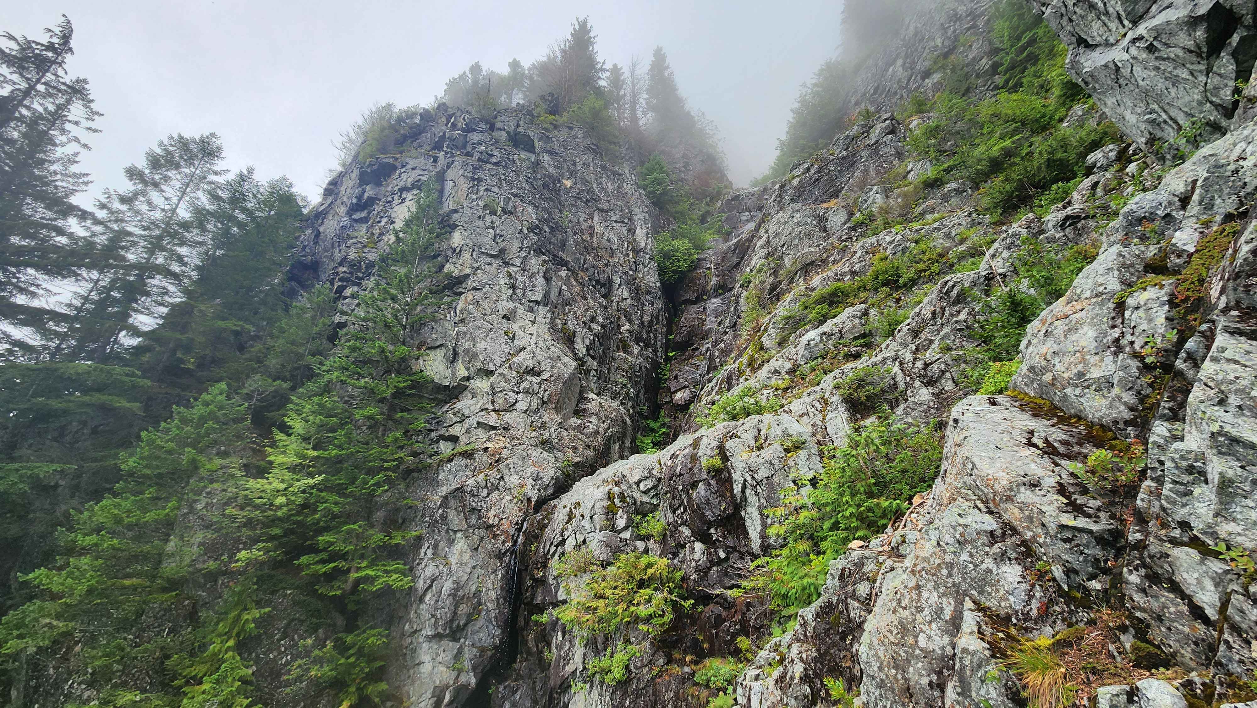
The first waterfall
After the waterfall there were several difficult to navigate sections of the trail. The trail also became much more bushwhacky. I also saw two other groups along with a solo much higher up on the trail. The second group said they didn’t make it past the first waterfall since the terrain was too much for their dog. I forgot to ask the first group if they summited, but it was pretty clear that they didn’t make it. The solo got the closest of them all, but the solo said they had to turn around because they were too tired. Upon making it to the clearing that’s just before the trail split, I knew I was going to be the last person attempting summit for the day.
The clearing just before the trail split from above
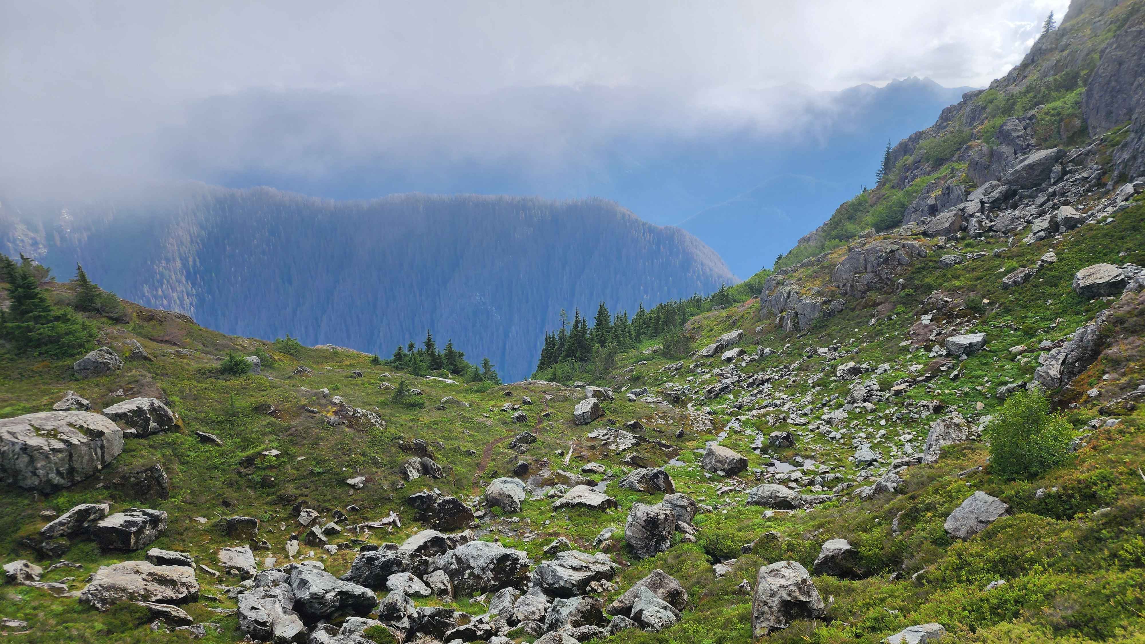
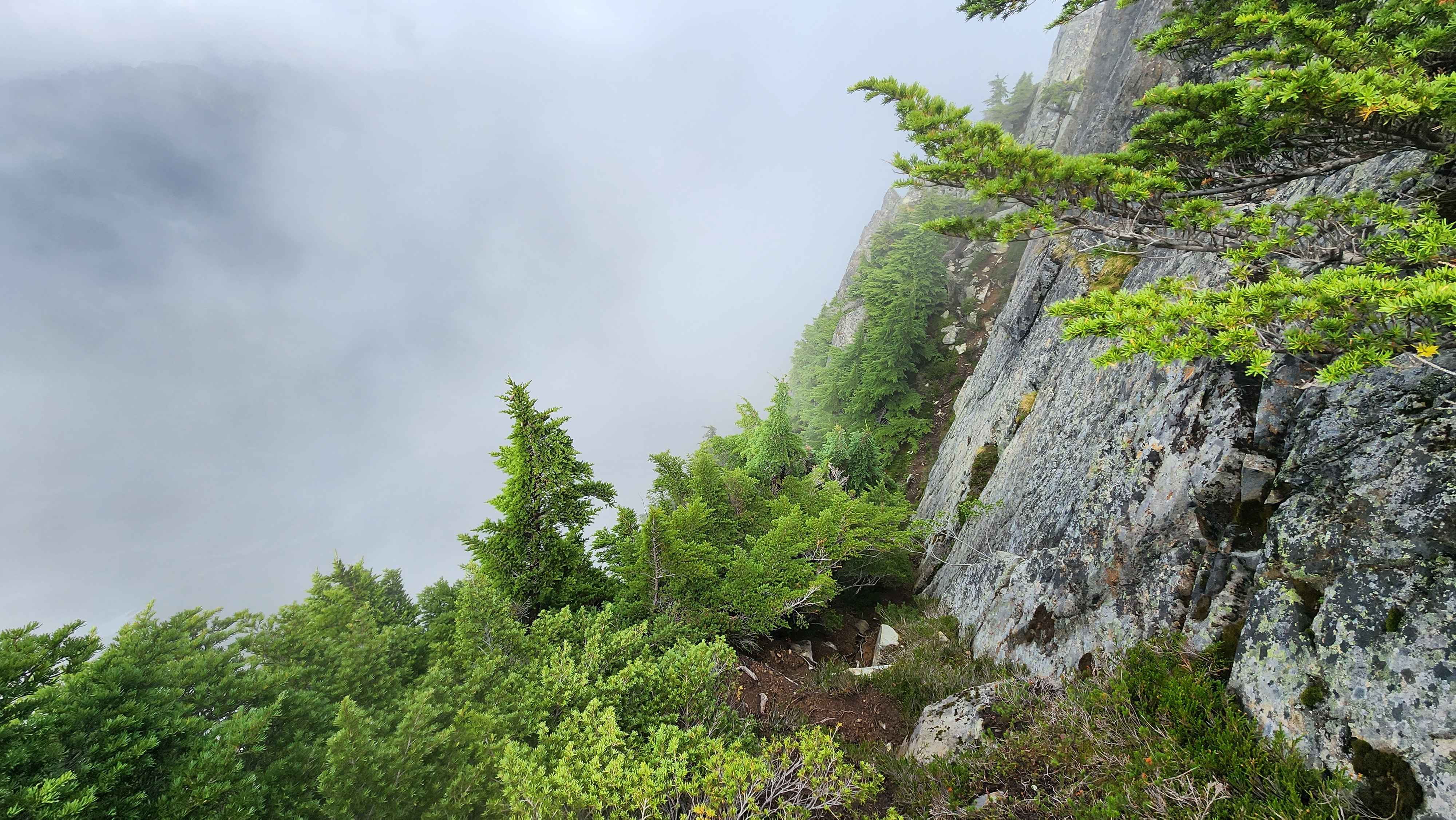
At the trail split I continued straight down into the small valley and up the other side.
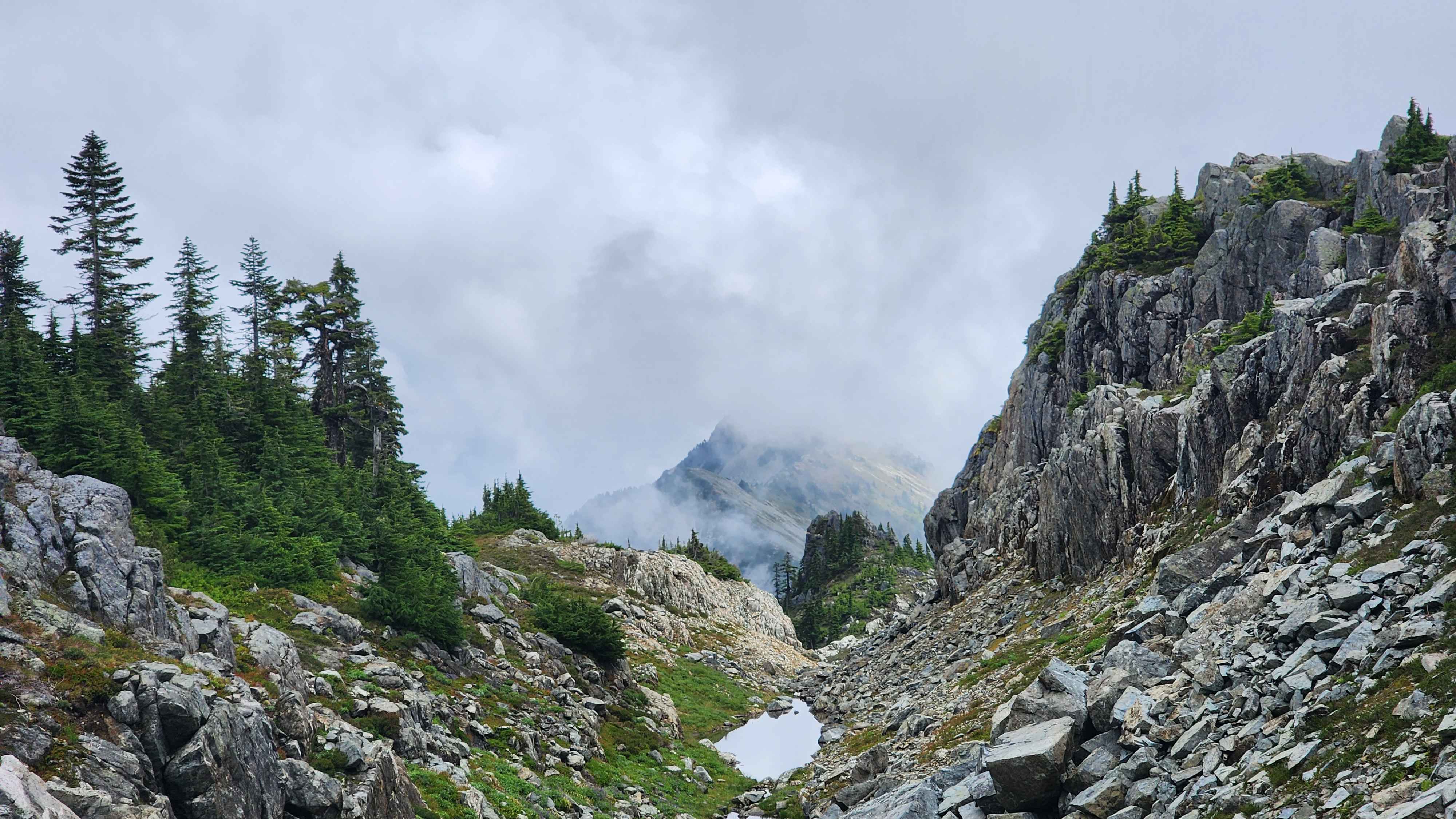
The small valley that must be crossed to continue to Gunn Peak
The trail went up the other side of the valley and eventually gave a view out the east side. The trail went most of the way down to the flat grass plateau and then cut across the side of the mountain.
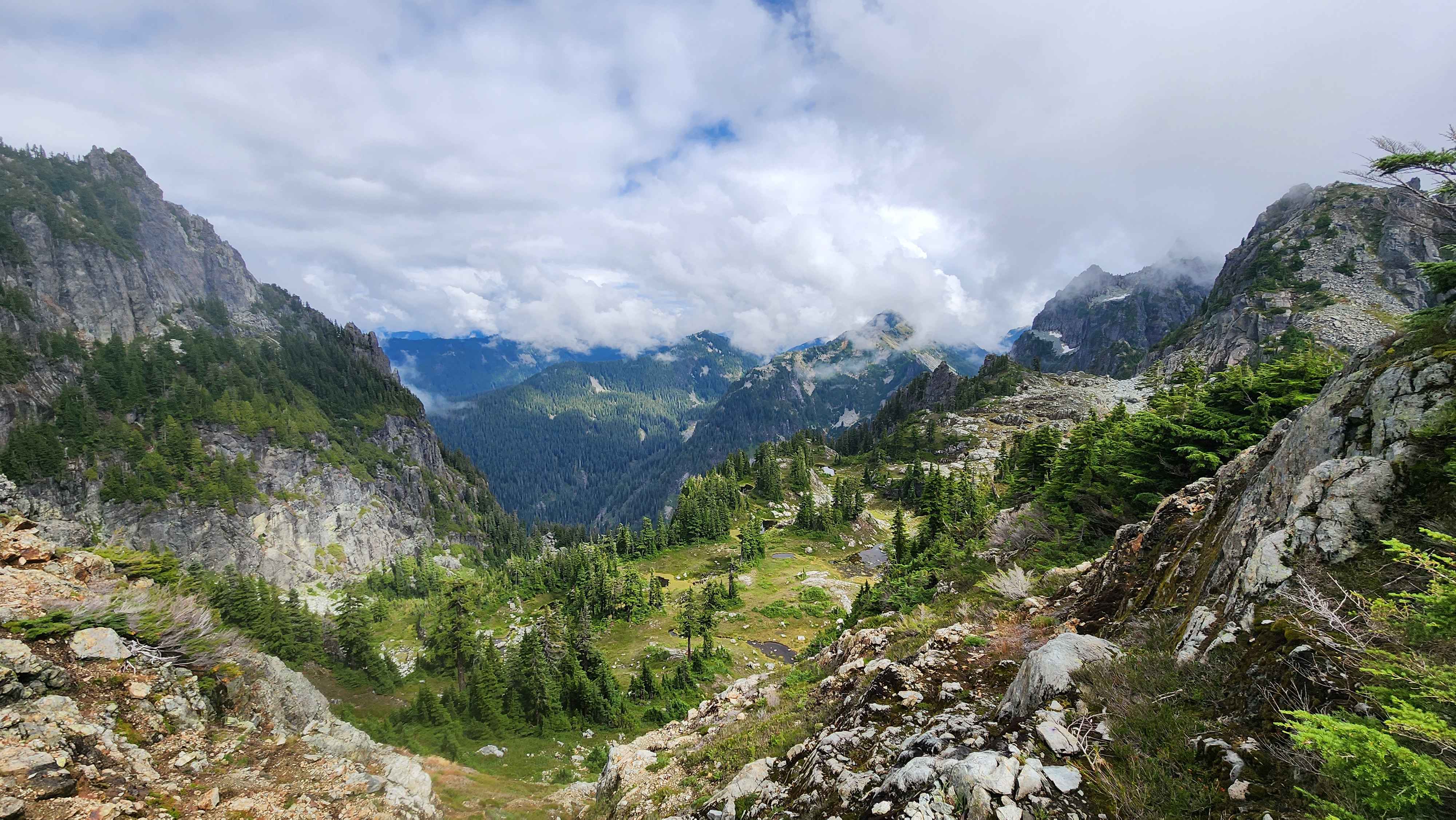
The view to the east with the small grass plateau below
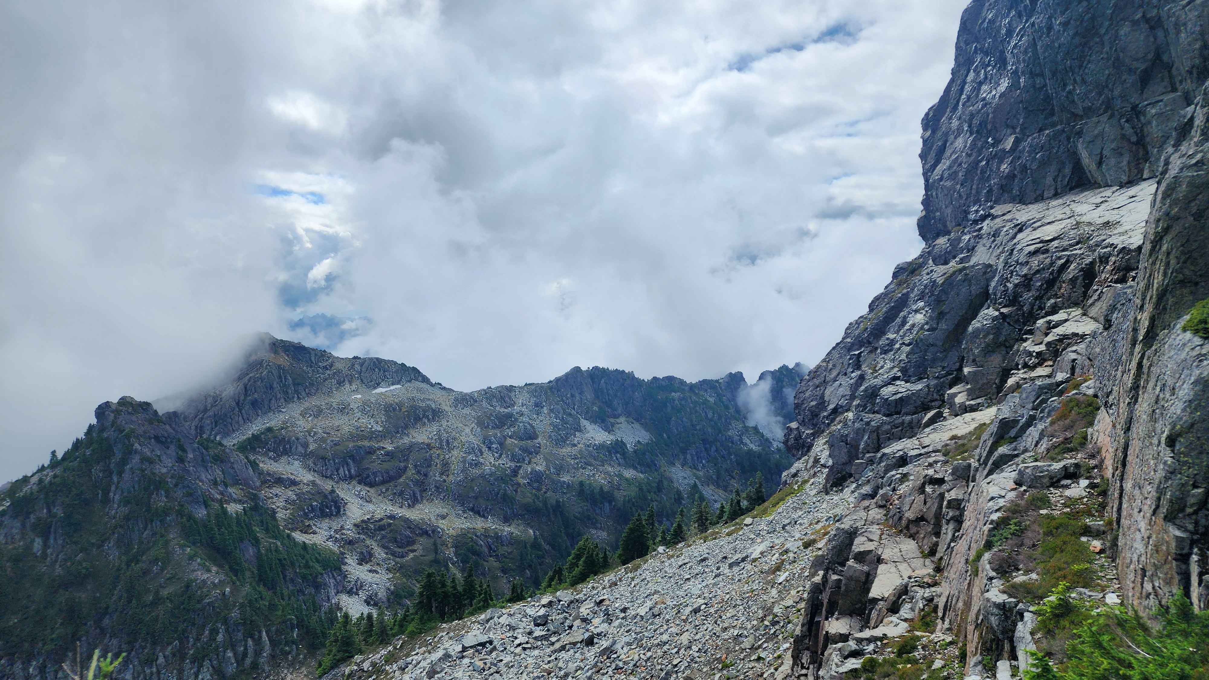
Eventually the trail ended at the flat section where the big rockslide is. There was a camping spot there as well which would be a very cool place to camp. This flat spot also provided the best view of Gunn Peak. This was where the climb truly began.
The rockslide down below and Gunn Peak scraping the sky
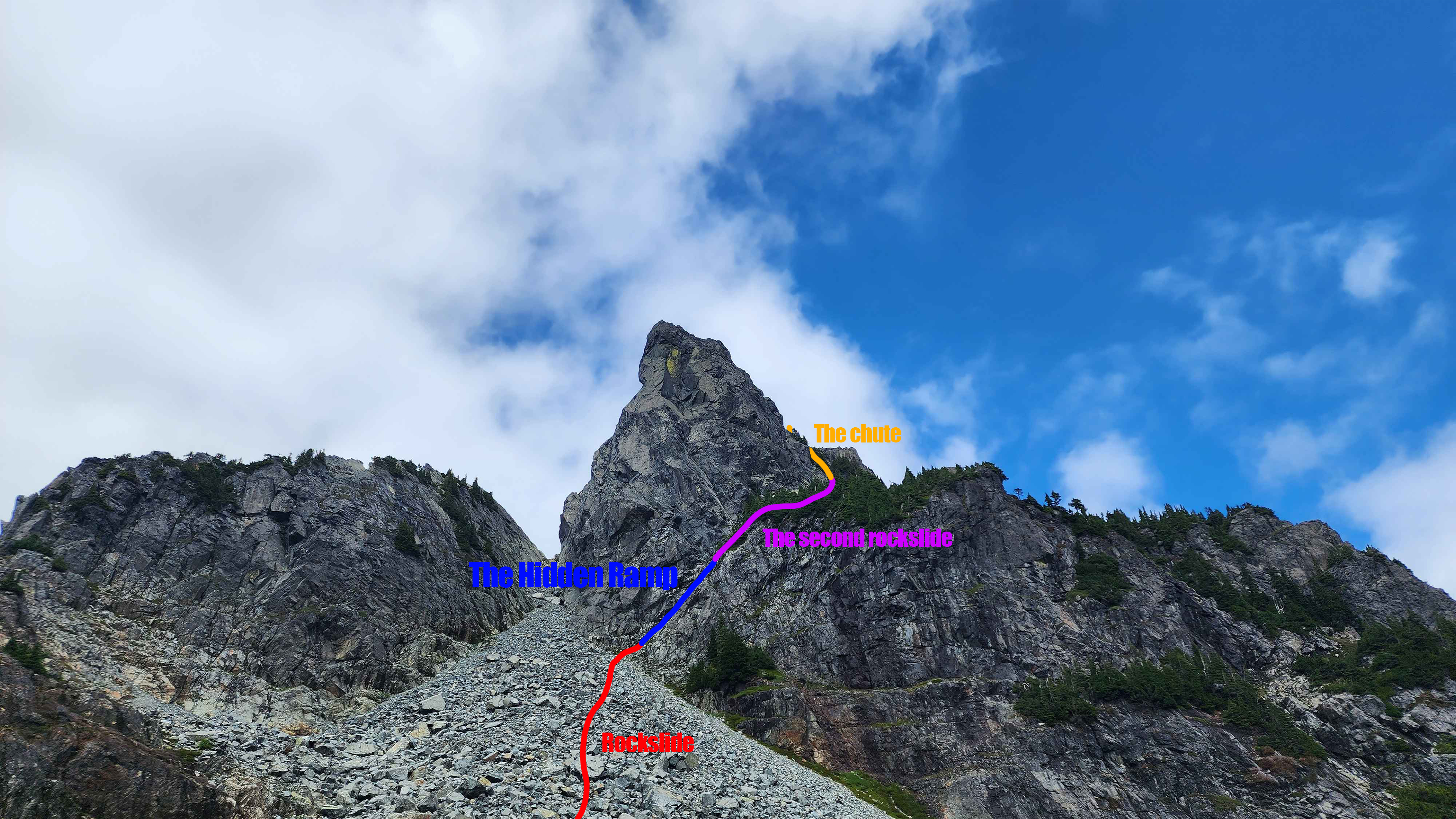
I climbed up the rockslide to where the scramble was. People seem to call this section the “hidden ramp” as it’s not able to be seen from below, and it’s also very counter-intuitive to take this route instead of climbing all the way up the rockslide.
The "hidden ramp" from below
The ramp was marked with a rock cairn, which was very useful. Climbing up the ramp was the most technical part of the entire climb, however that doesn’t mean it was hard. It was just an exposed class 3 scramble. After I made it over the ramp, the trail flattened out and went over another rockslide.
The second rockslide that must be crossed
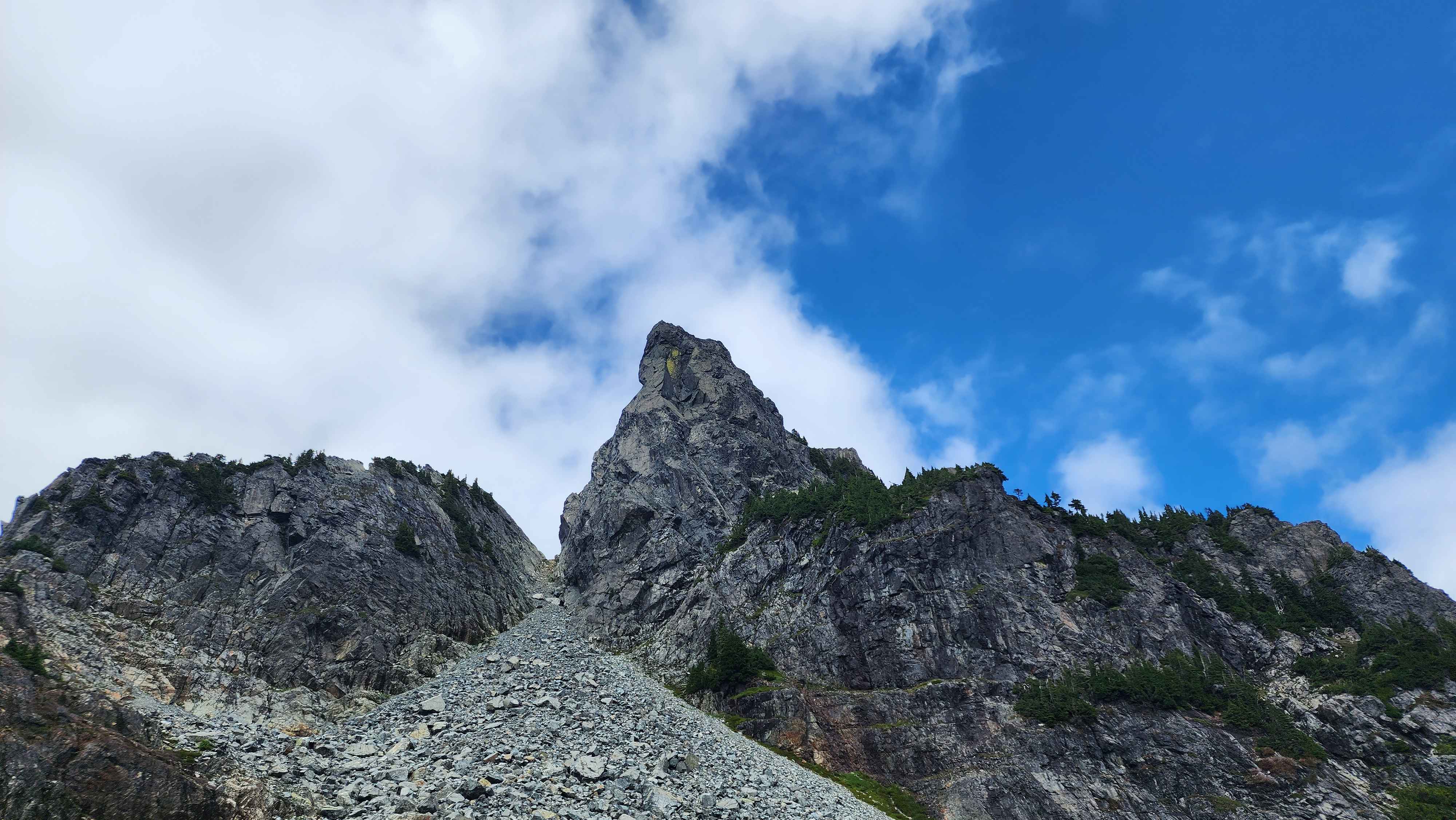
This route took me to the southeast side of Gunn Peak, which is where the trail started climbing again up a chute. After I made it to the top of the chute, I could see out the other side. There was a small flat rock section just before the ridge which I couldn’t see over, which made for a cool reveal of the view out the other side when I climbed up it.
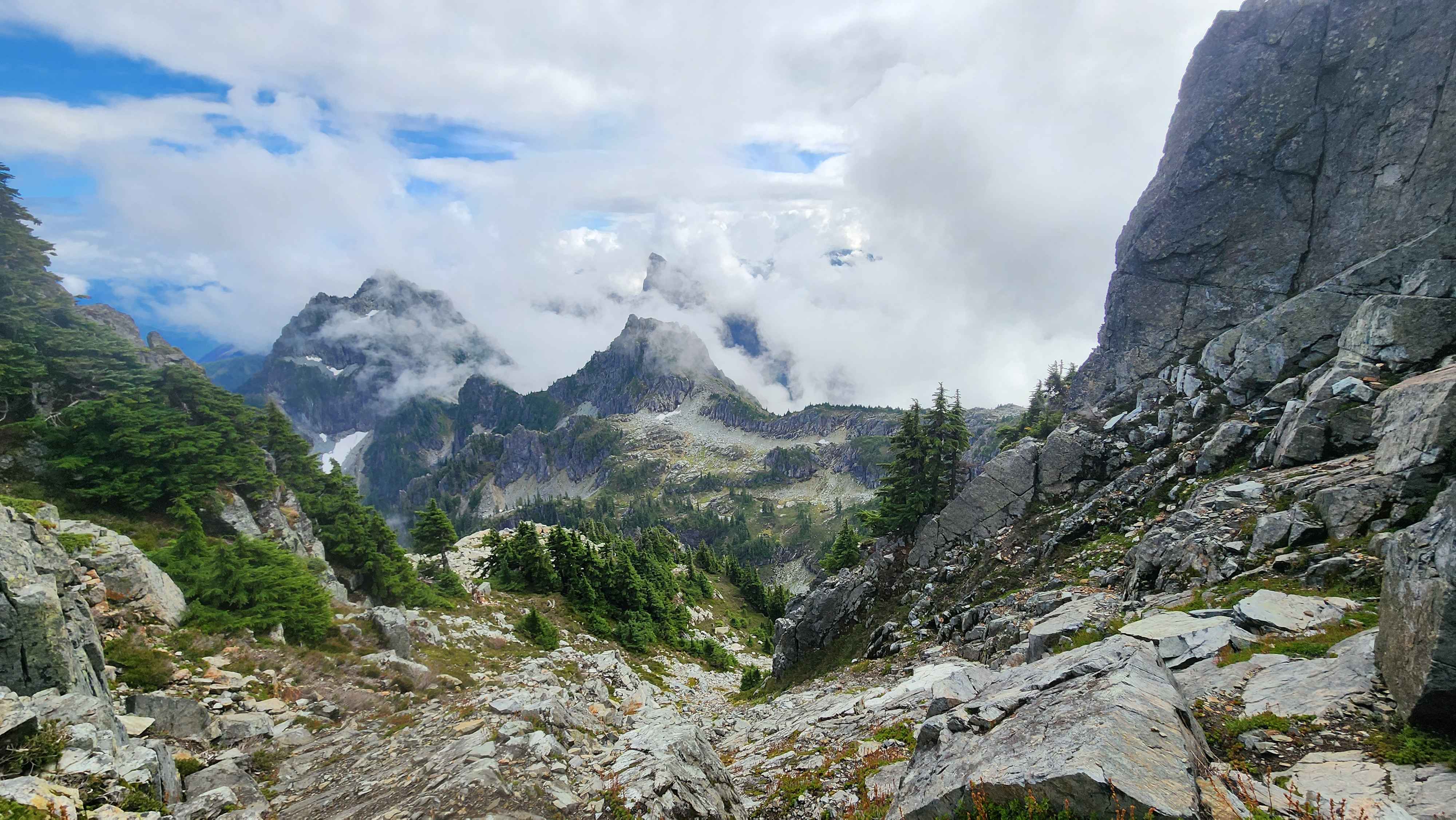
The chute
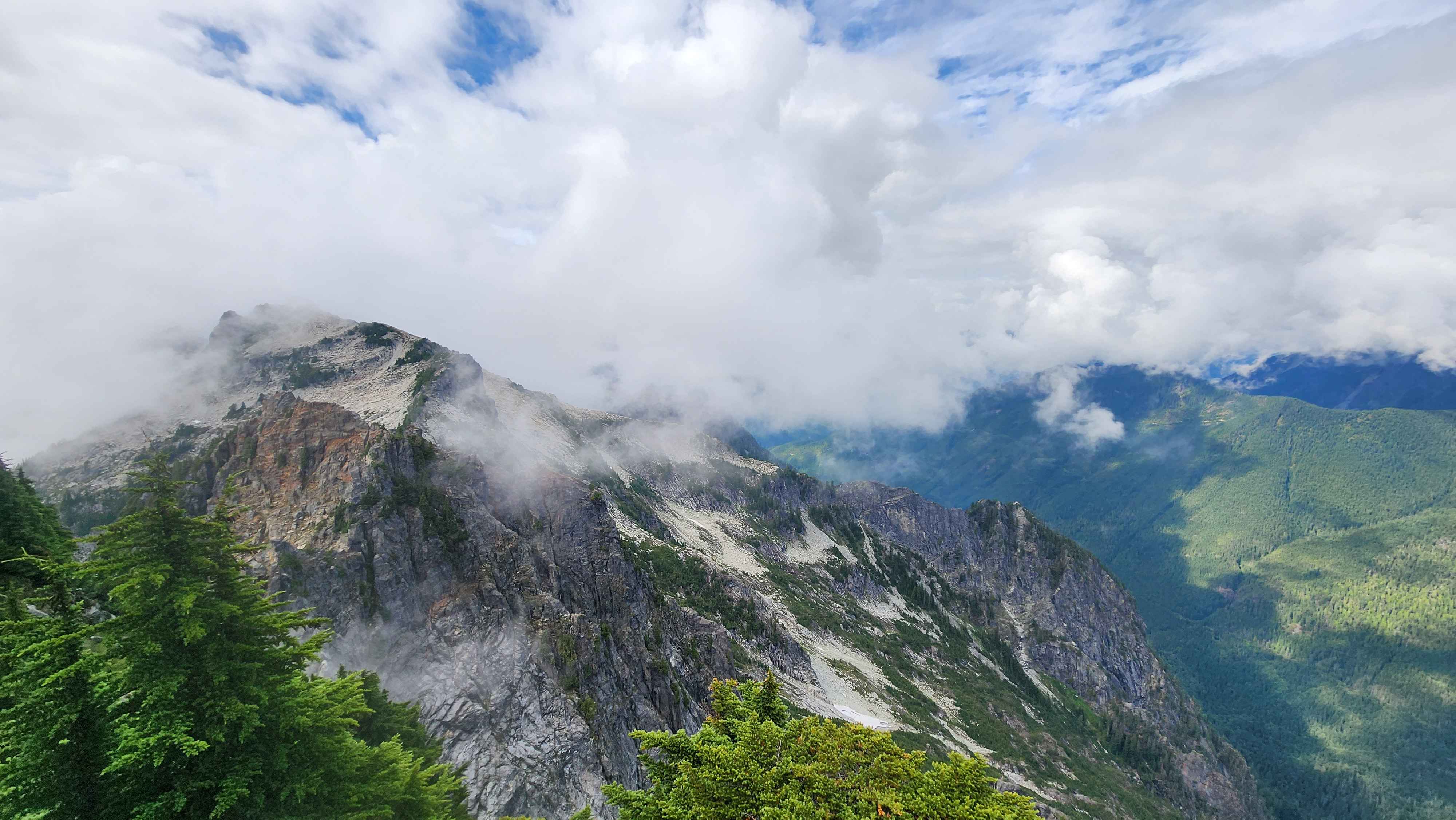
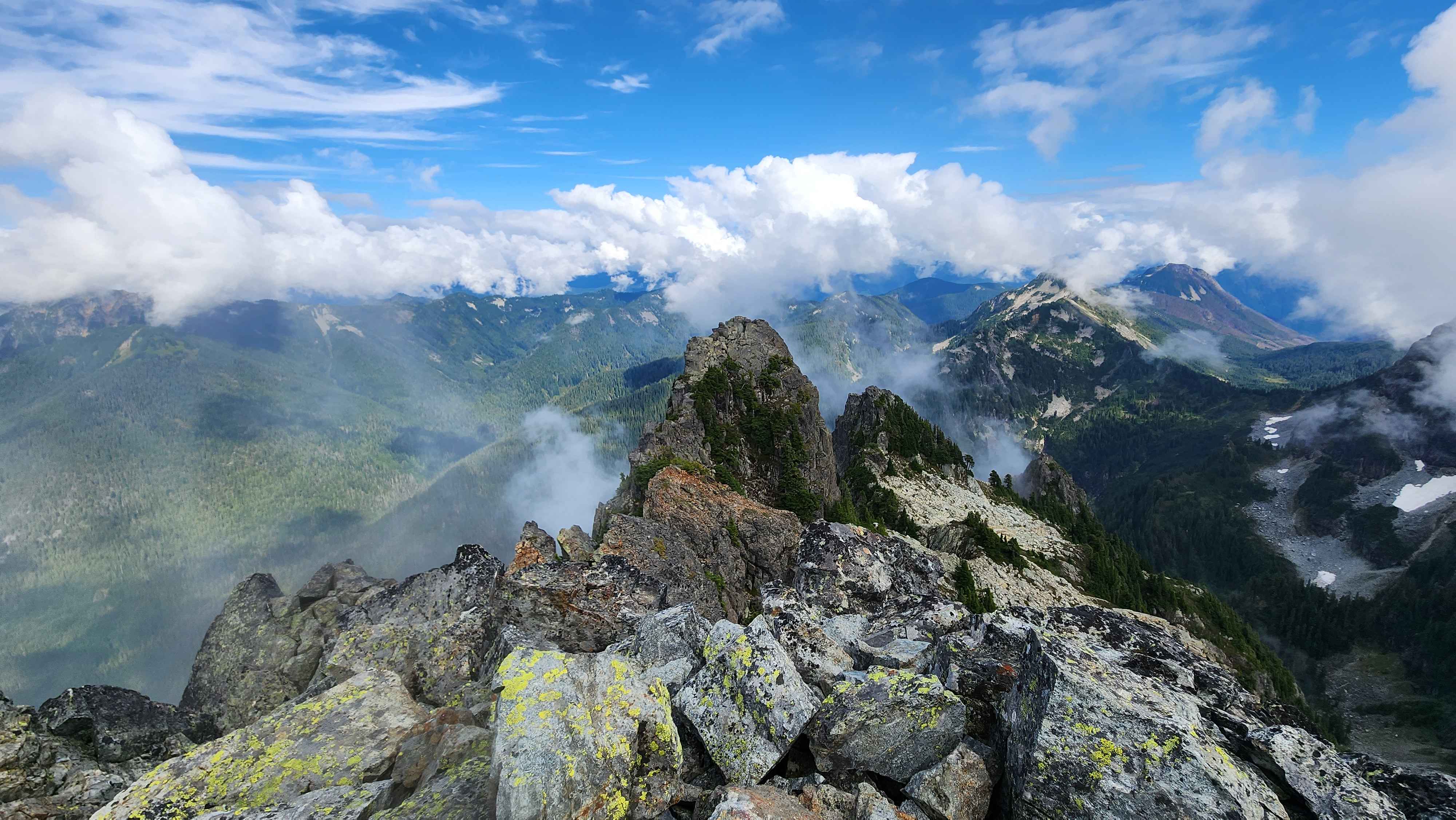
The view out the other side
The general route for this section
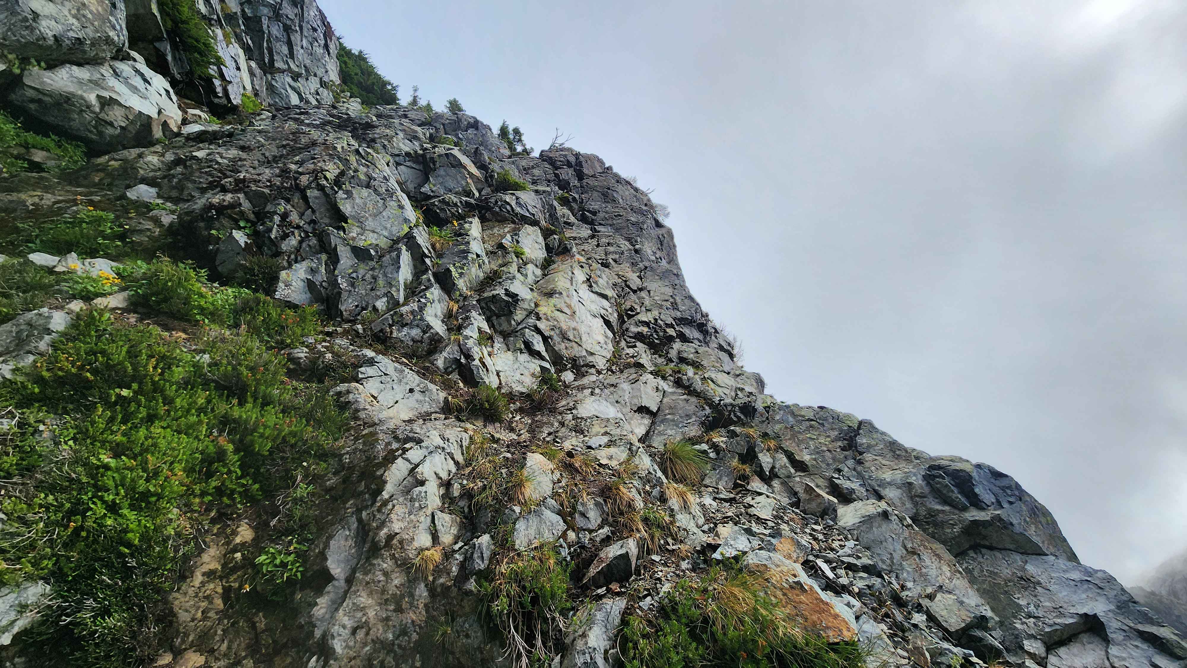
The trail then went up a small ridge with some small trees blocking the cliff, which made me feel much better about climbing up it.
The tree cliff from the top
After the tree cliff there was a tiny bit more scrambling to get to the true summit.
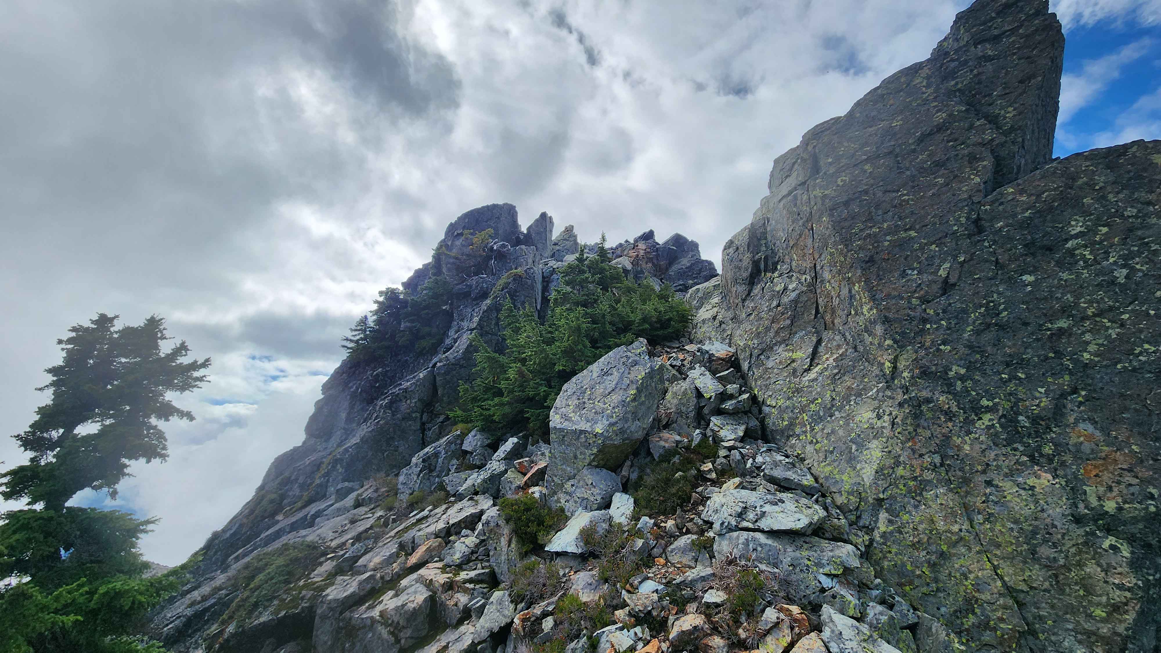
The final scramble to the summit
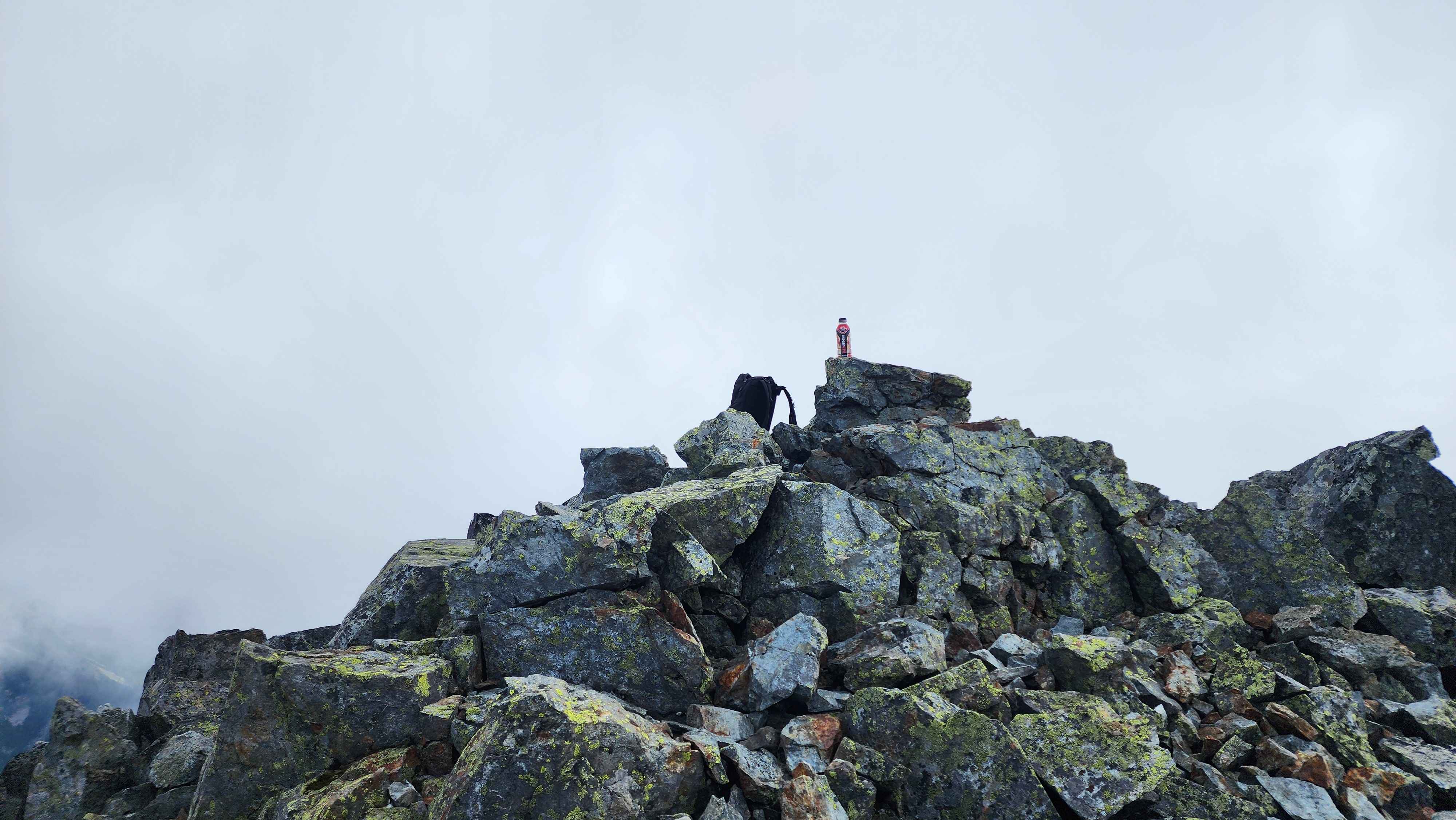
Upon reaching the true summit I found the summit register and put my name down. It was really disappointing that Dragontail Peak didn’t have a register, so I’m glad this mountain did. My final time to summit ended up being 3 hours and 13 minutes, which was very close to my goal of 3 hours. I wish I made it in sub three but I’m still happy with this time.
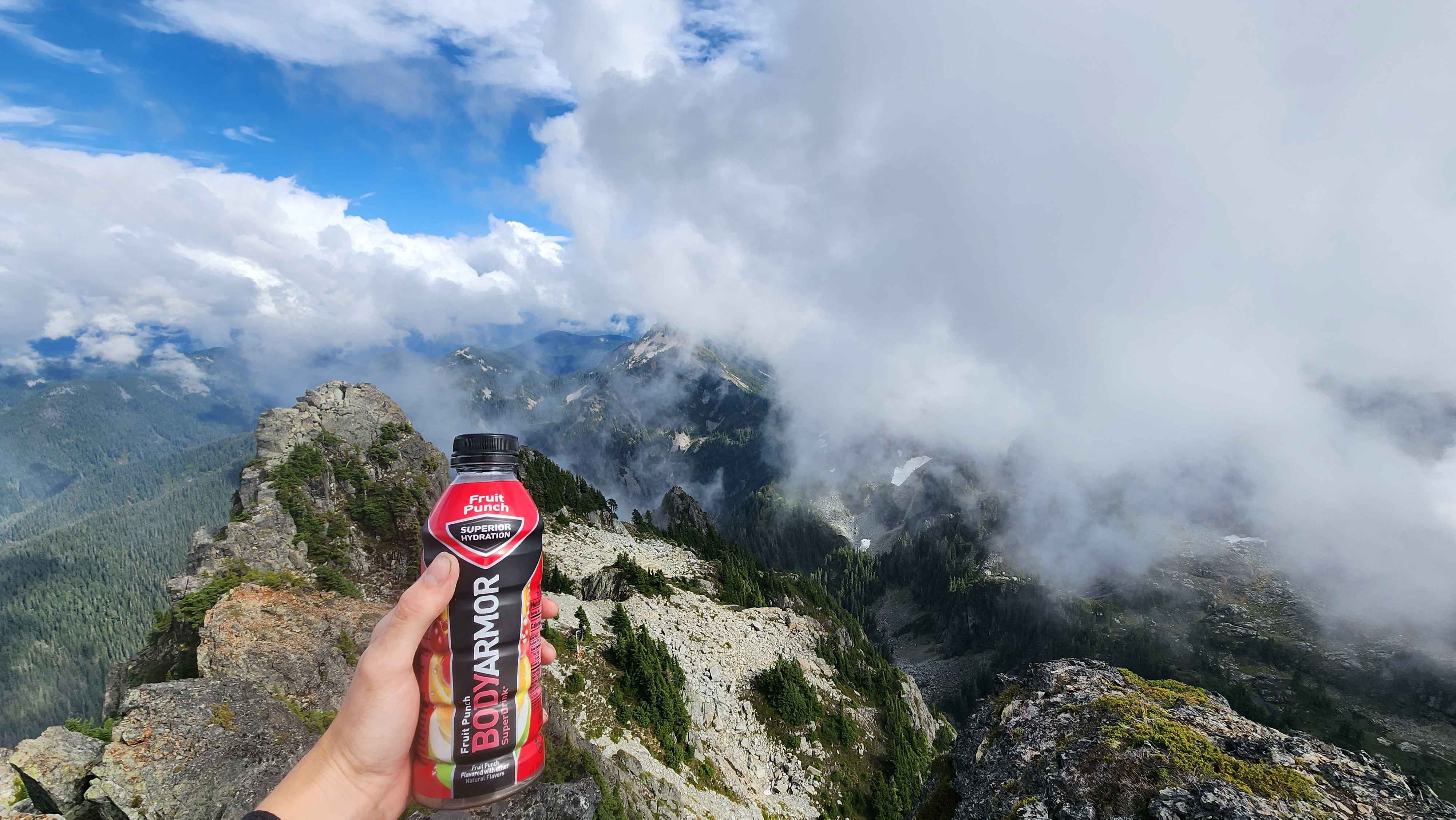
The view from the summit
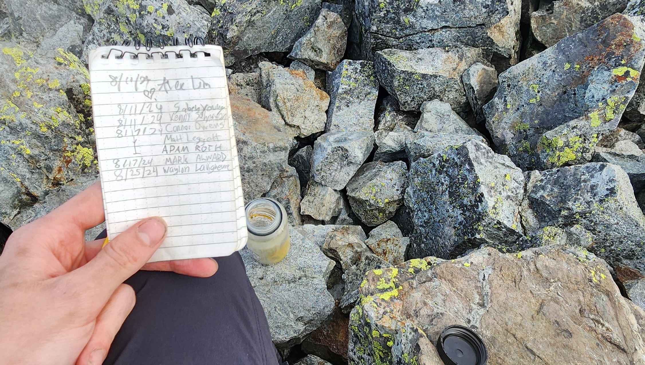
Writing my name on the summit register
It was a short 2 hour or so climb down with no problems. I made it to the trailhead at 18:39, with over an hour before sunset. My total time ended up being 6 hours 12 minutes, 29 minutes of which being at the summit. Another thing I want to note is that I didn't bring a helmet with me for this peak, however I highly suggest bringing a helmet for the scramble sections. Going for
Mt. Stuart next, this time with a group.

A cool photo of
Baring Mountain I got on the way down