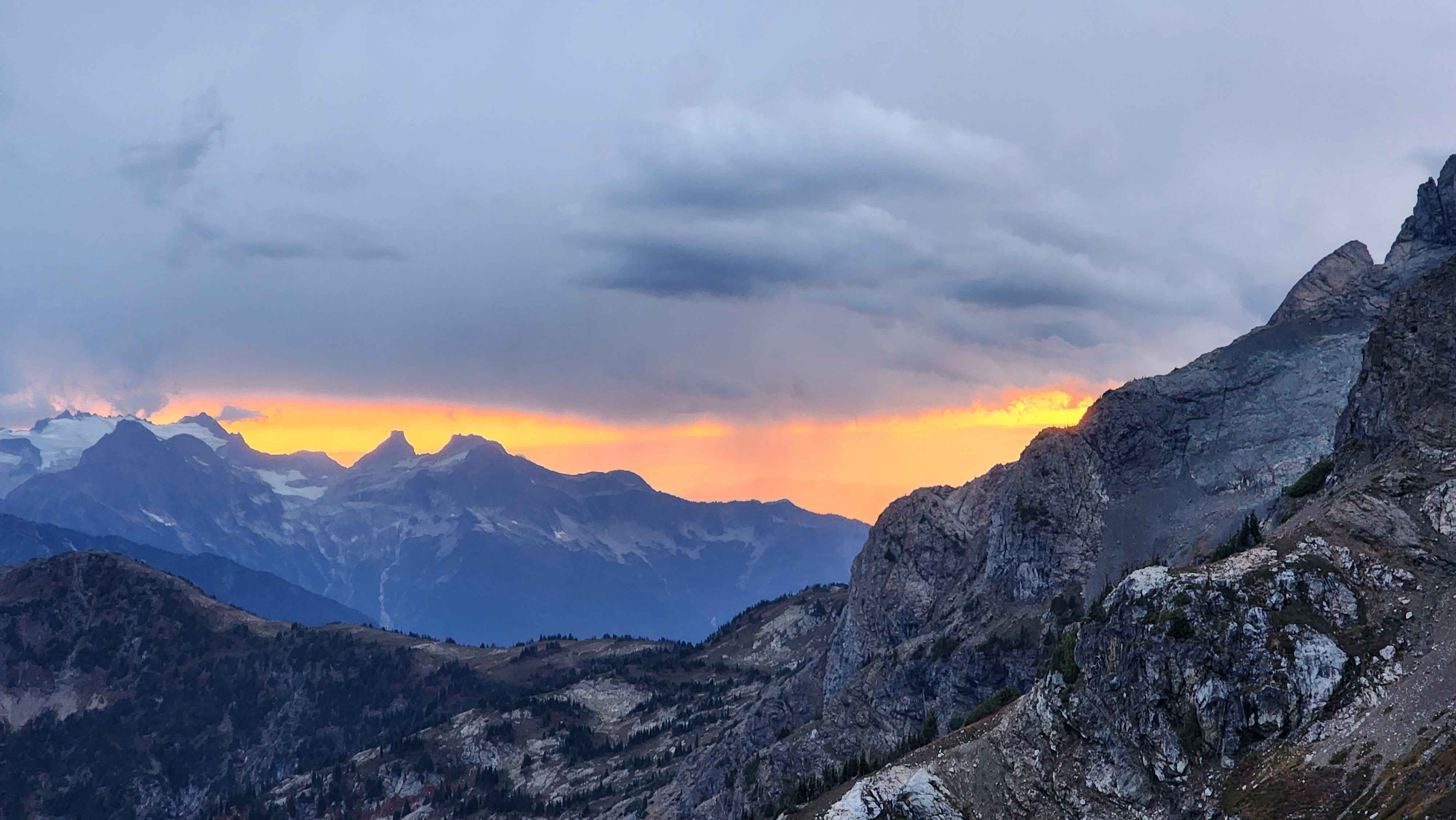
My main mountaineering partner wanted to do something in the main section of the North Cascades for the weekend (mountains off the 20). I’ve always avoided this area since it’s almost a 3-hour drive from where I live. My partner had done a 4-day loop around Jack Mountain several years ago, so we decided to climb Jack Mountain.
The original plan was to get to the trailhead on the 27th at 15 and camp just above the switchbacks at around 4800’. We were going to summit Crater Mountain the second day and camp at Jerry Lakes. The final day would’ve been summiting Jack and going all the way back to the car in the same day. It’s a very good thing we didn’t end up doing this since summiting Jack and going to the car all in one day would’ve been way too much. It also ended up snowing a lot on the 29th, which would’ve made summiting very hard.
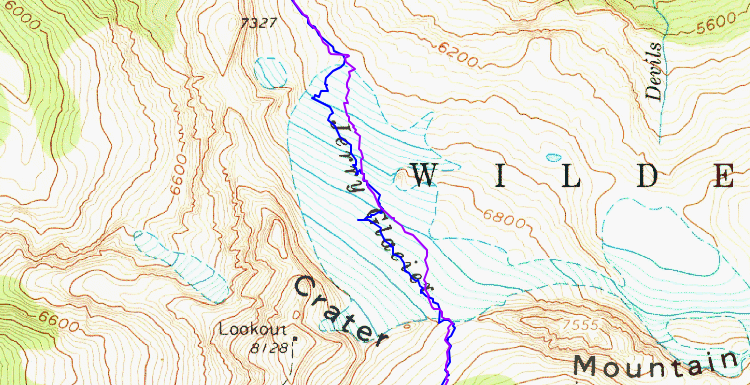
The original plan (the final route is at the top of the page)
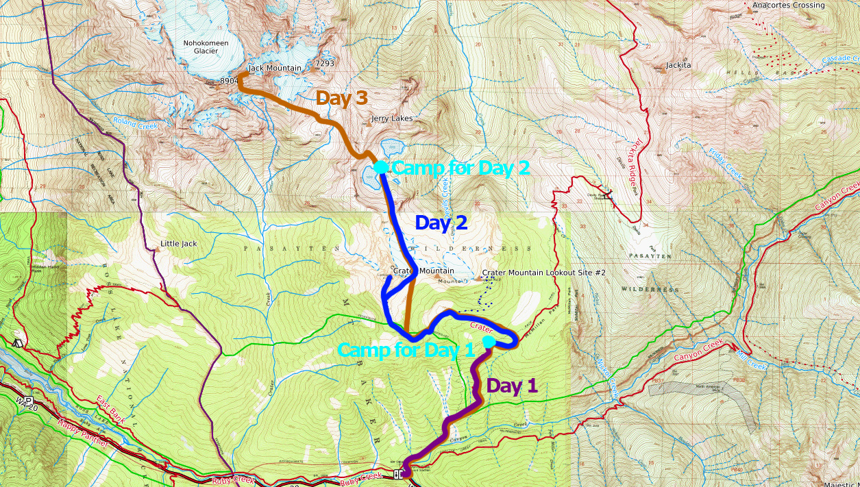
We got to the trailhead just after 15 like we planned. We didn’t get far before running into the first problem; the bridge to get across Canyon Creek was washed out. We really didn’t want to get wet so early on, so we found a log that had fallen across the creek. We took an old trail over to the log. After crossing the log, there was a bit of bushwacking to get back to the trail. After reconnecting with the trail, we started the grind up the switchbacks.
We made it to where we had planned to camp for the night well before dark. The spot was not very nice, so we continued to the tarn at 5800’.
Hiking to the tarn at 5800'
Once we made it to the tarn, we realized that we could make it all the way to Jerry Lakes. We’d be hiking in the dark for quite a while, but we’d still get to the lakes at a reasonable time. The only issue was that we didn’t know how bad the terrain was over the saddle at 7200’. We decided to take the risk and go for Jerry Lakes.
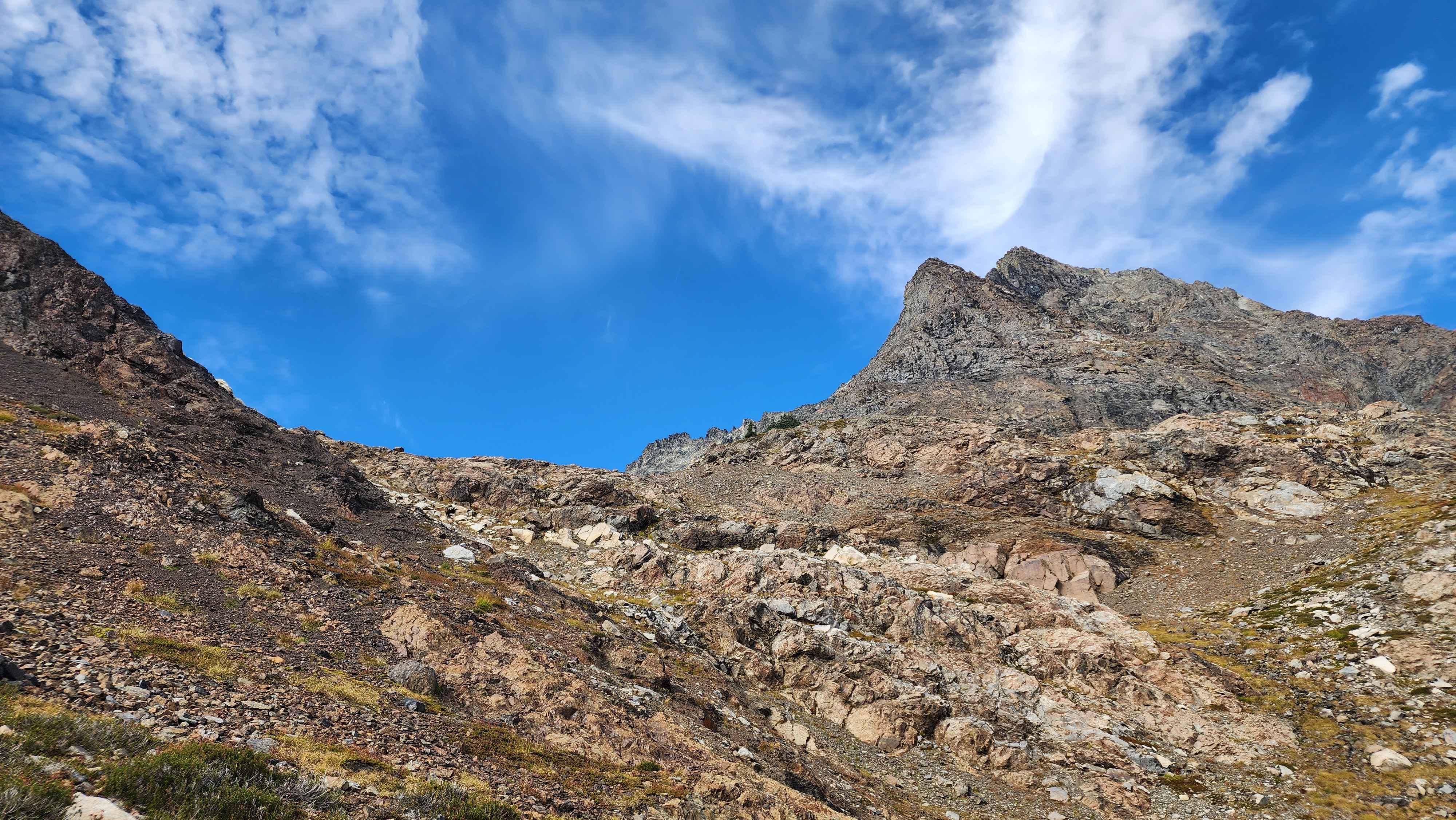
We took the trail for Crater Mountain up to about 6300’ and then turned off into the meadows. There was no climbers trail through this section, which was surprising. There were lots of sections that looked very trampled, but they would quickly fade away.
Leaving the Crater Mountain trail
Hiking through the meadows
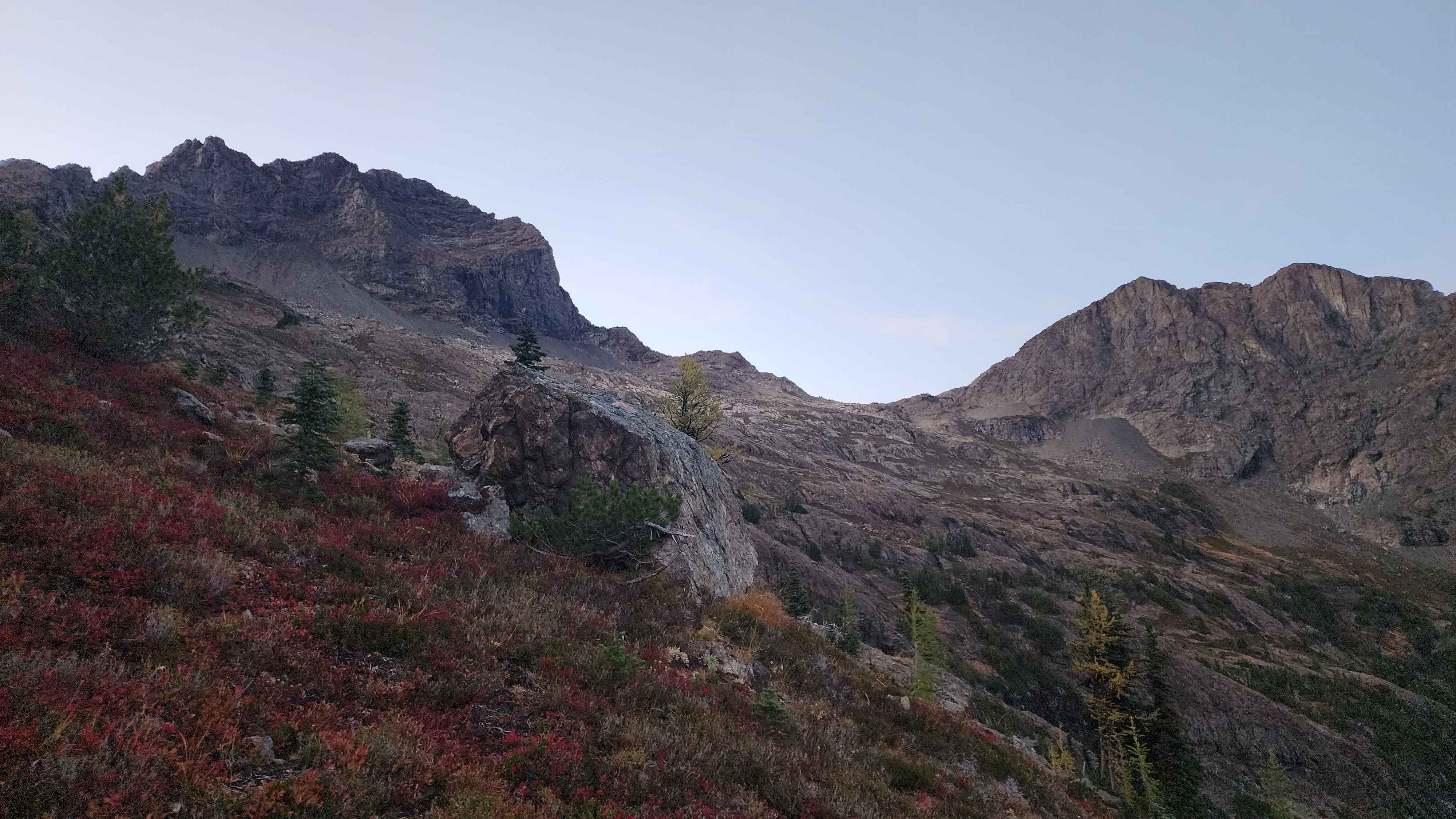
The saddle at 7200' we were heading to, Crater Mountain is to the left
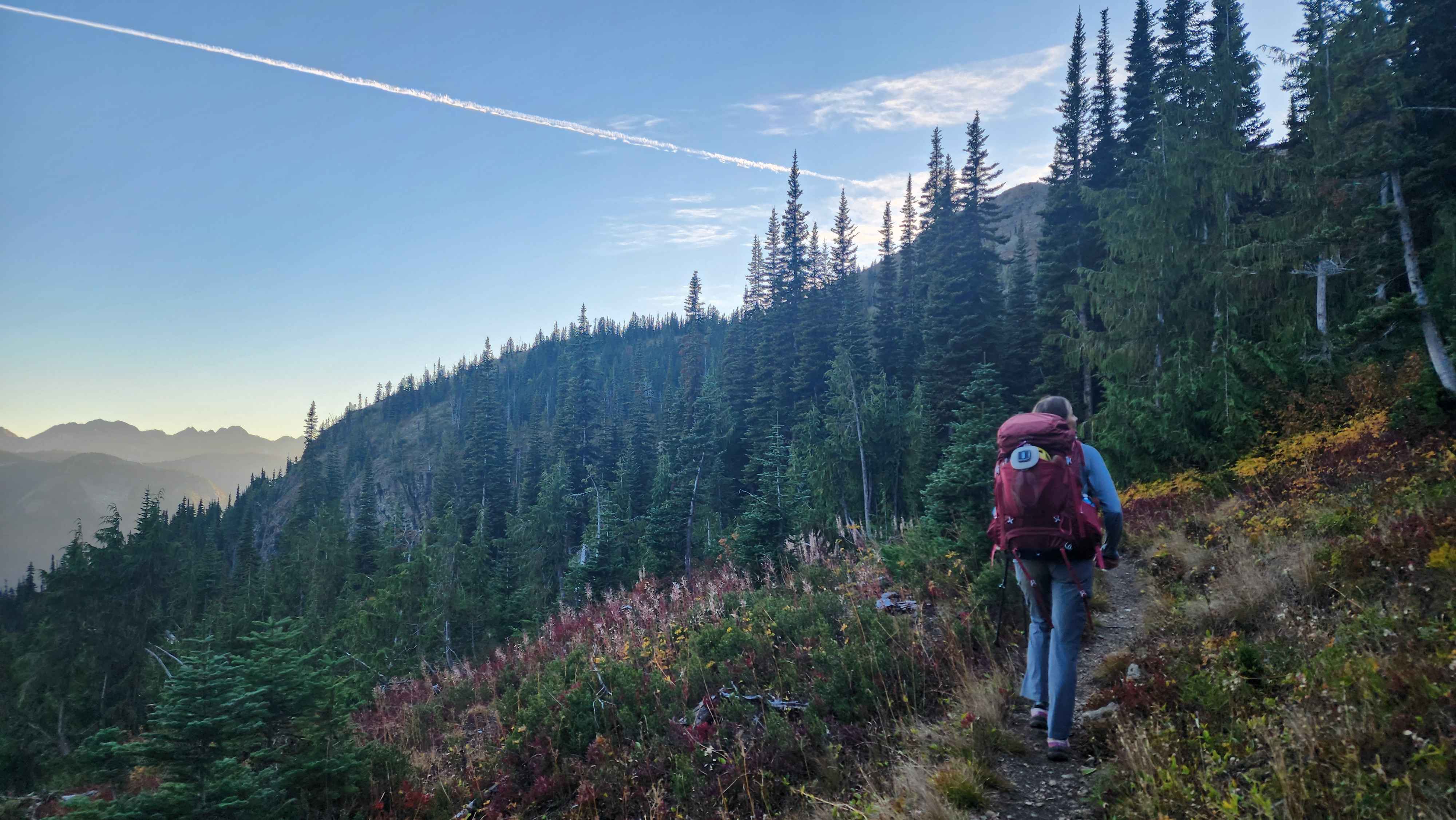
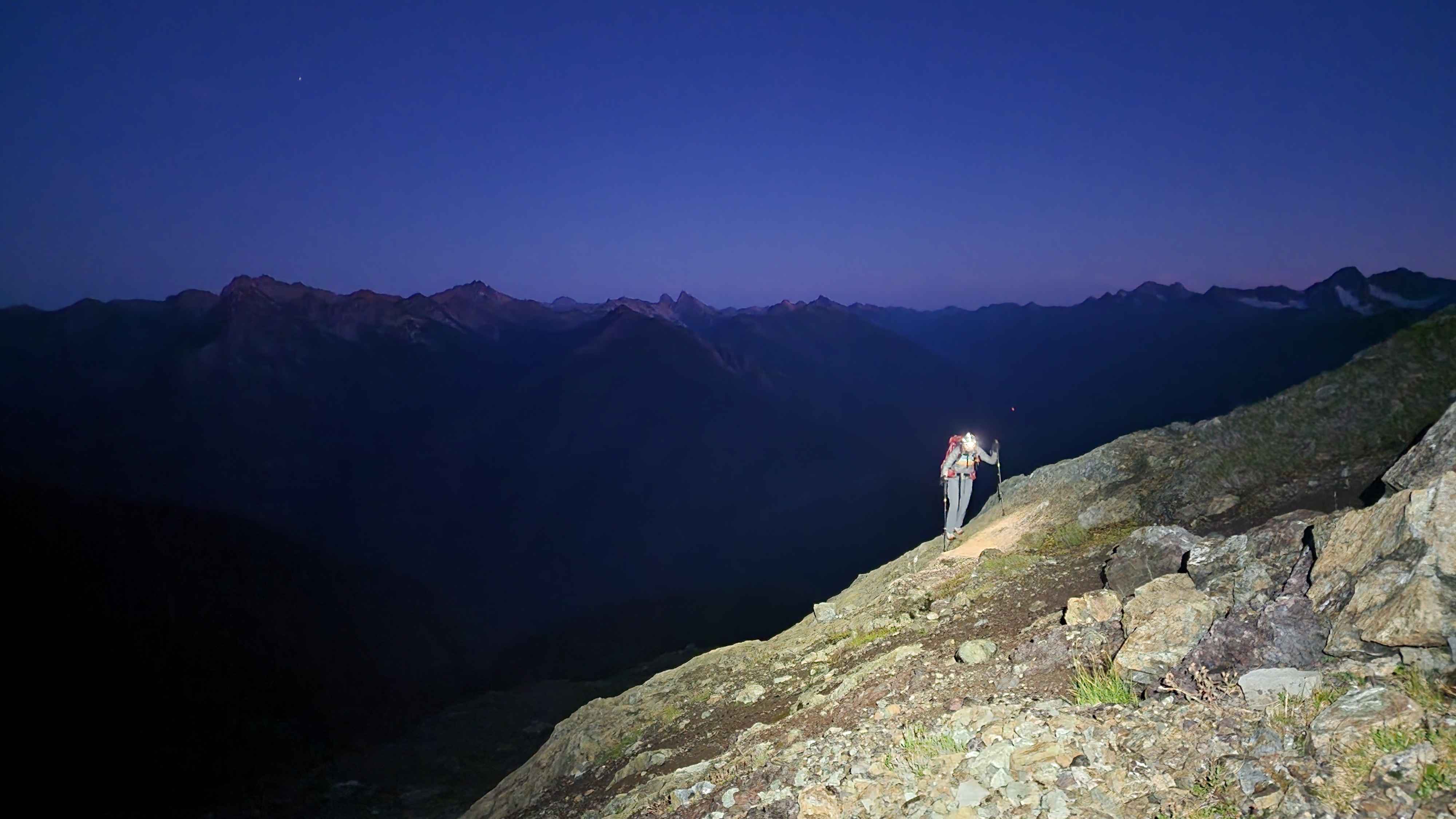
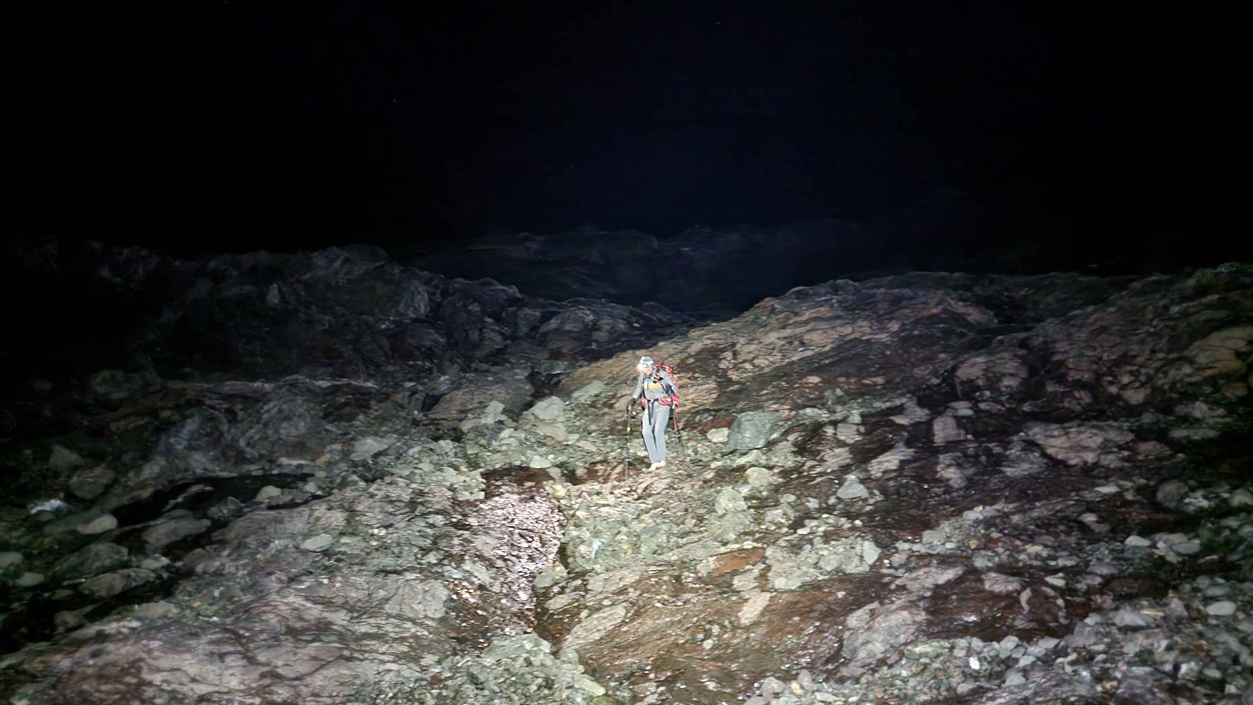
The meadows slowly became rockier as we went up. There were several rock scree sections that were annoying. We were already in the pitch black at 6800’. Fortunately, there were several flat spots that would've been fine for camping, so if we had to stop at the saddle, we would've been fine to camp nearby.
Side-hilling across rock scree and dirt in the dark (photo is heavily brightened)
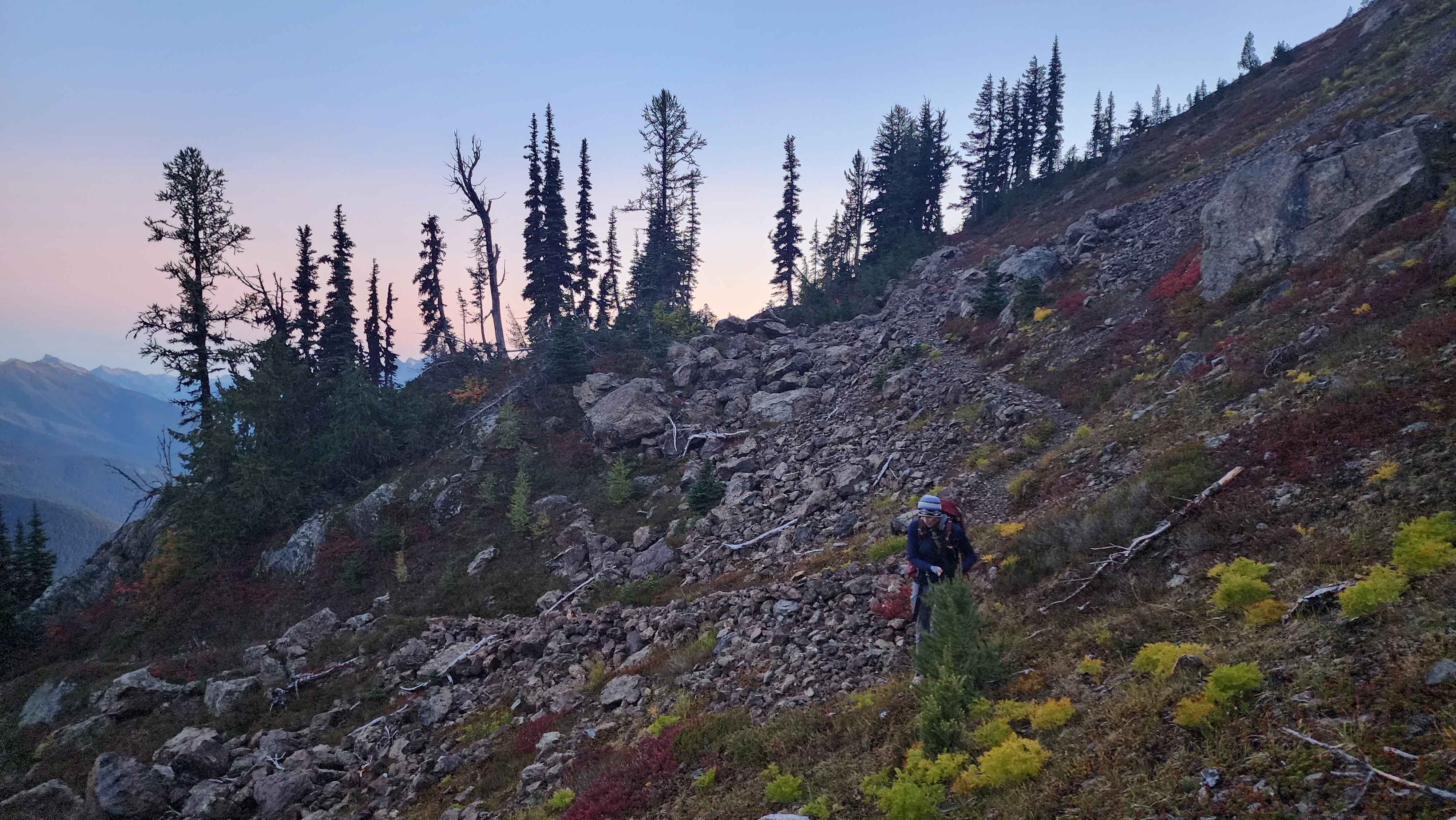
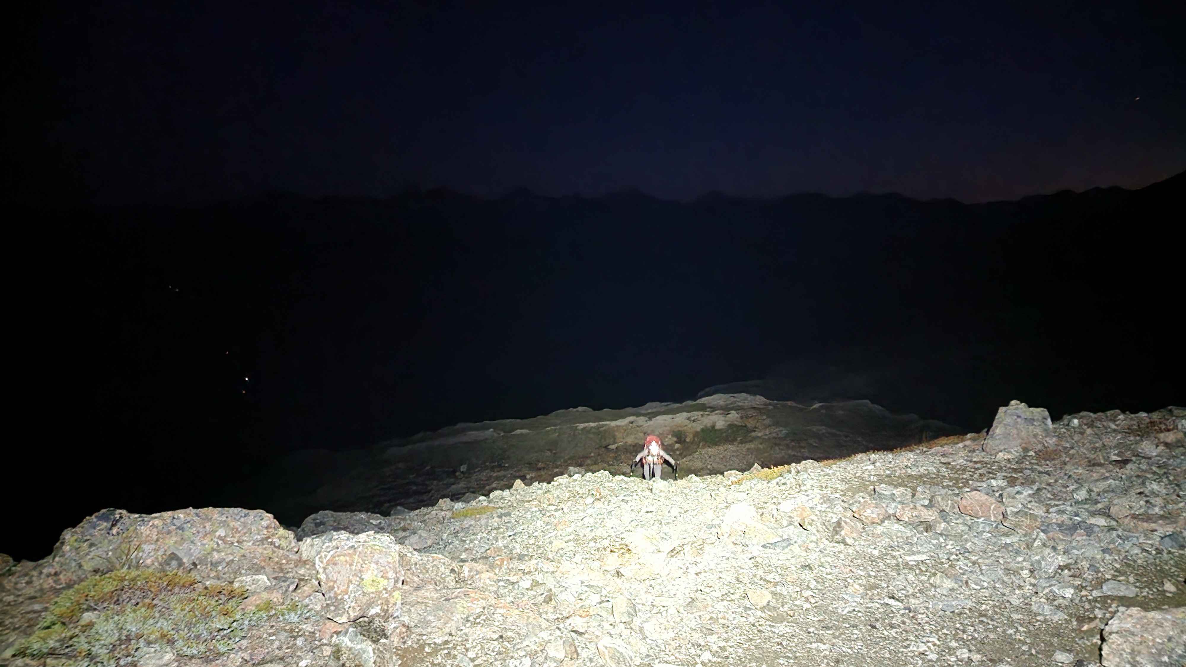
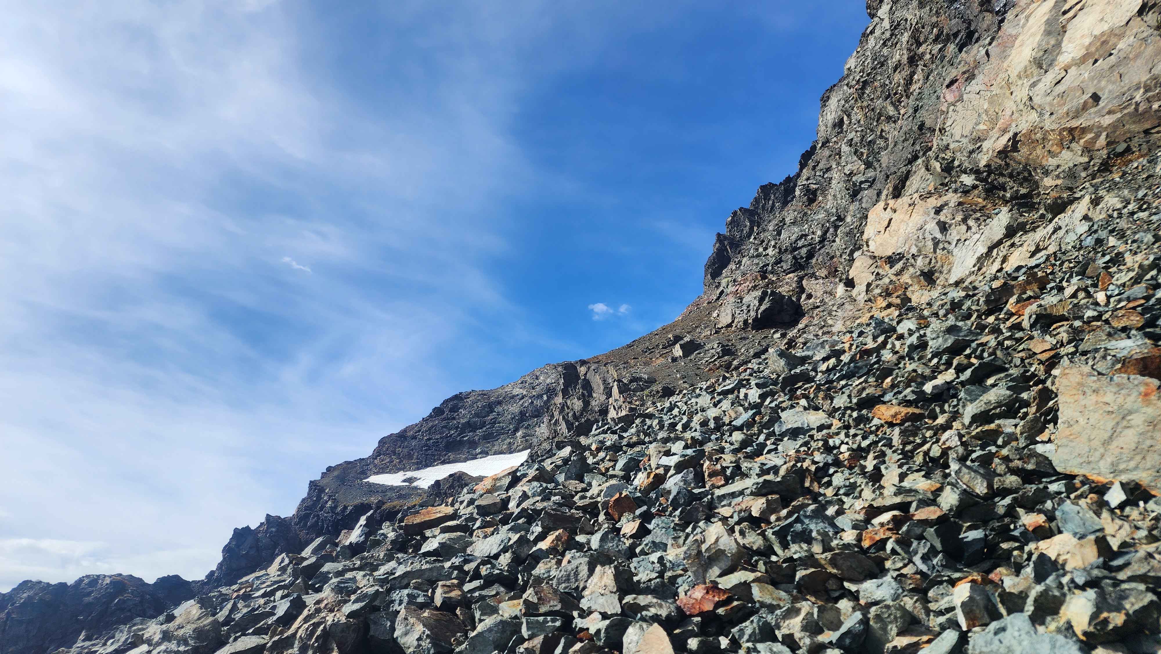
Climbing the rock scree just before the sadle
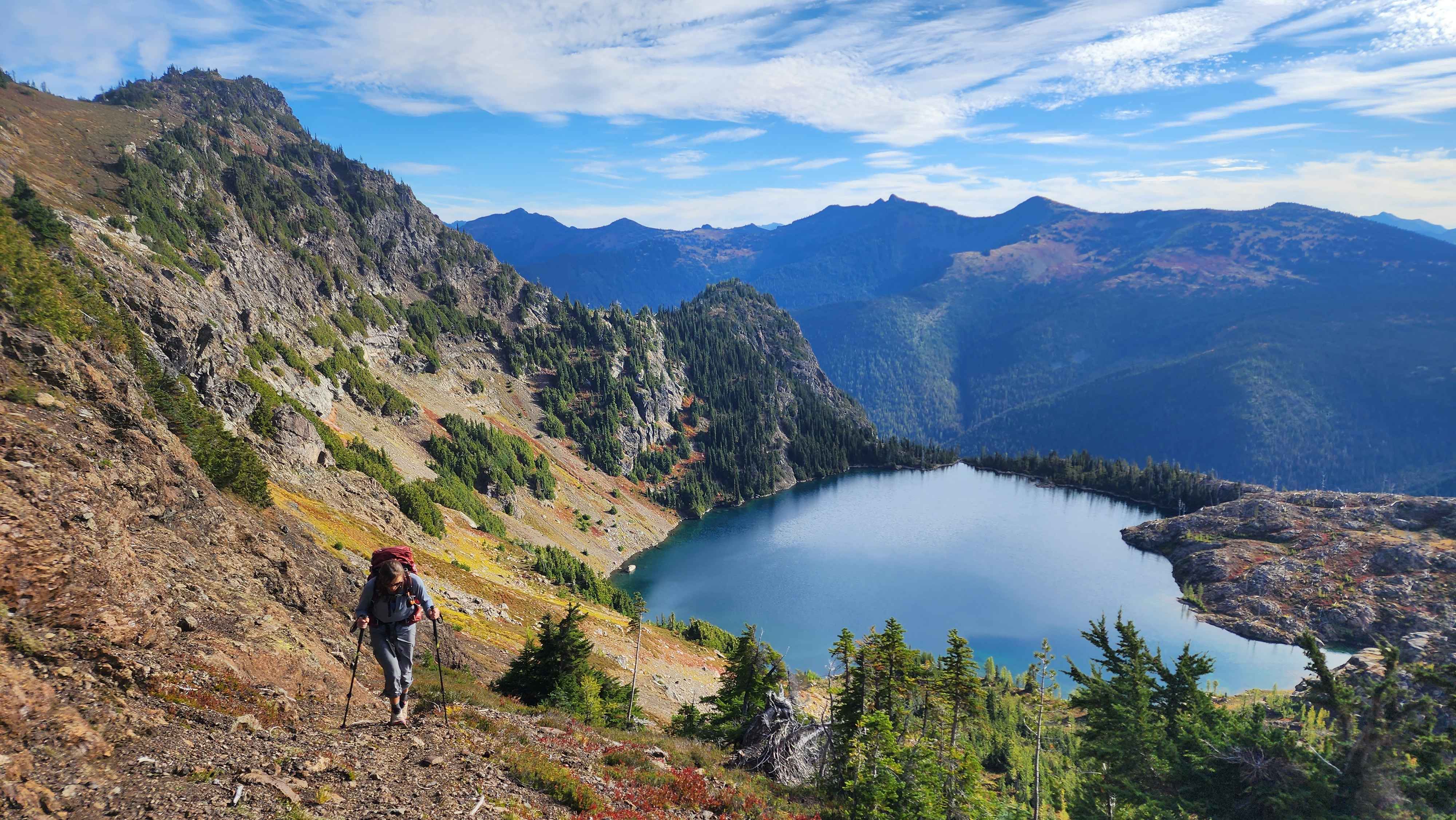
Fortunately, the terrain over the saddle didn’t look that bad, so we continued to the lakes. This whole section was a rock field. The rock wasn’t super loose, and there was lots of solid rock to walk on. We found a little tarn that was frozen over. Just above it we got our first sight of Jerry Glacier. The glacier had melted way out; the glacier used to be where we were walking not long ago.
Starting the hike across the rock field with the outline of jack ahead
The big dipper above Jack Mountain
The glacier used to be much bigger not long ago
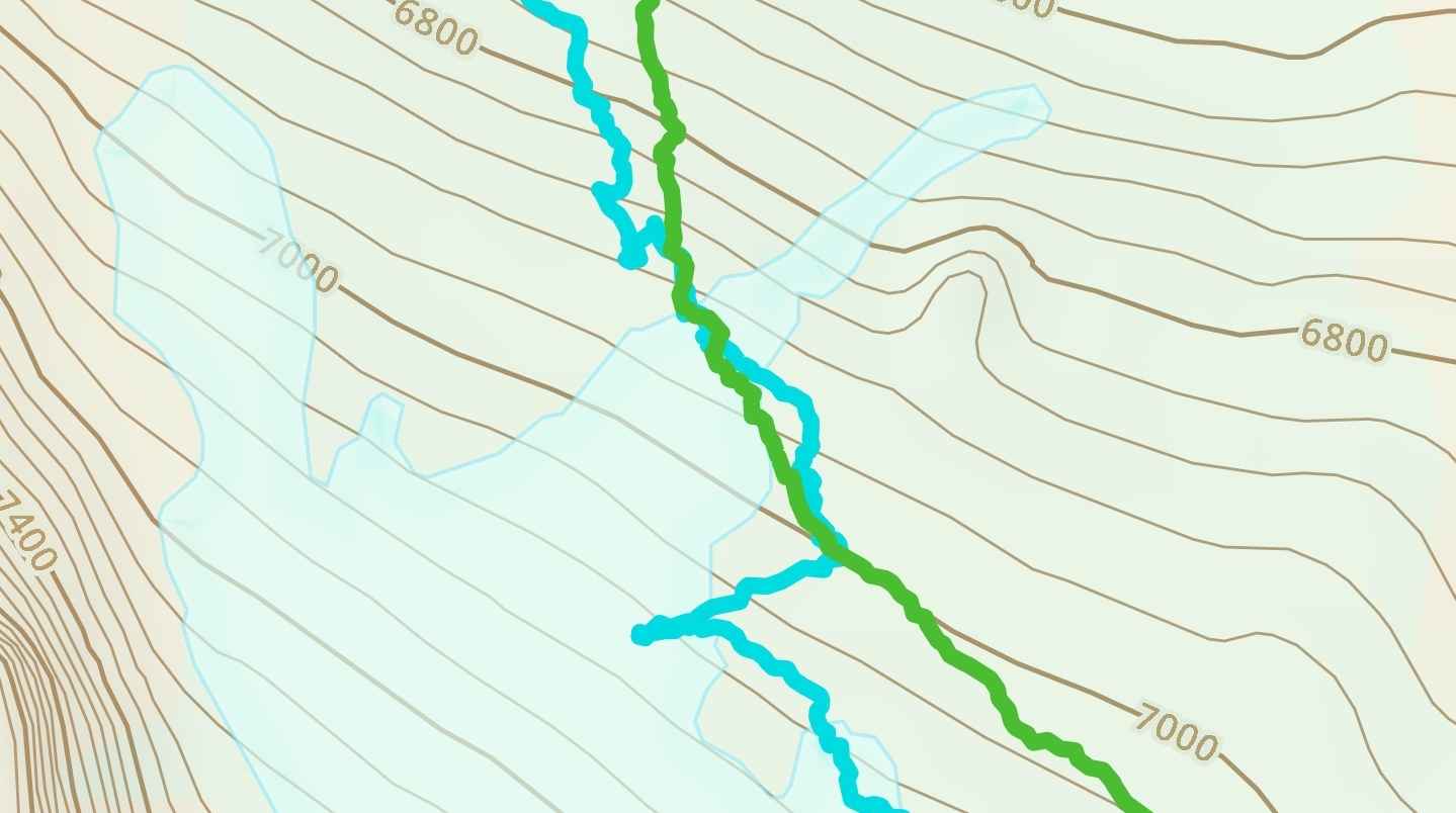
We accidentally stayed too high and ran into the glacier. We had to go straight down the rocks to get around the glacier. We eventually found the bottom edge of the glacier where we could cross. Even Gaia, which has a more recent map of the glaciers, still showed this crossing as being on the glacier.
A huge crevasse where we stayed too high and ran into the glaicer
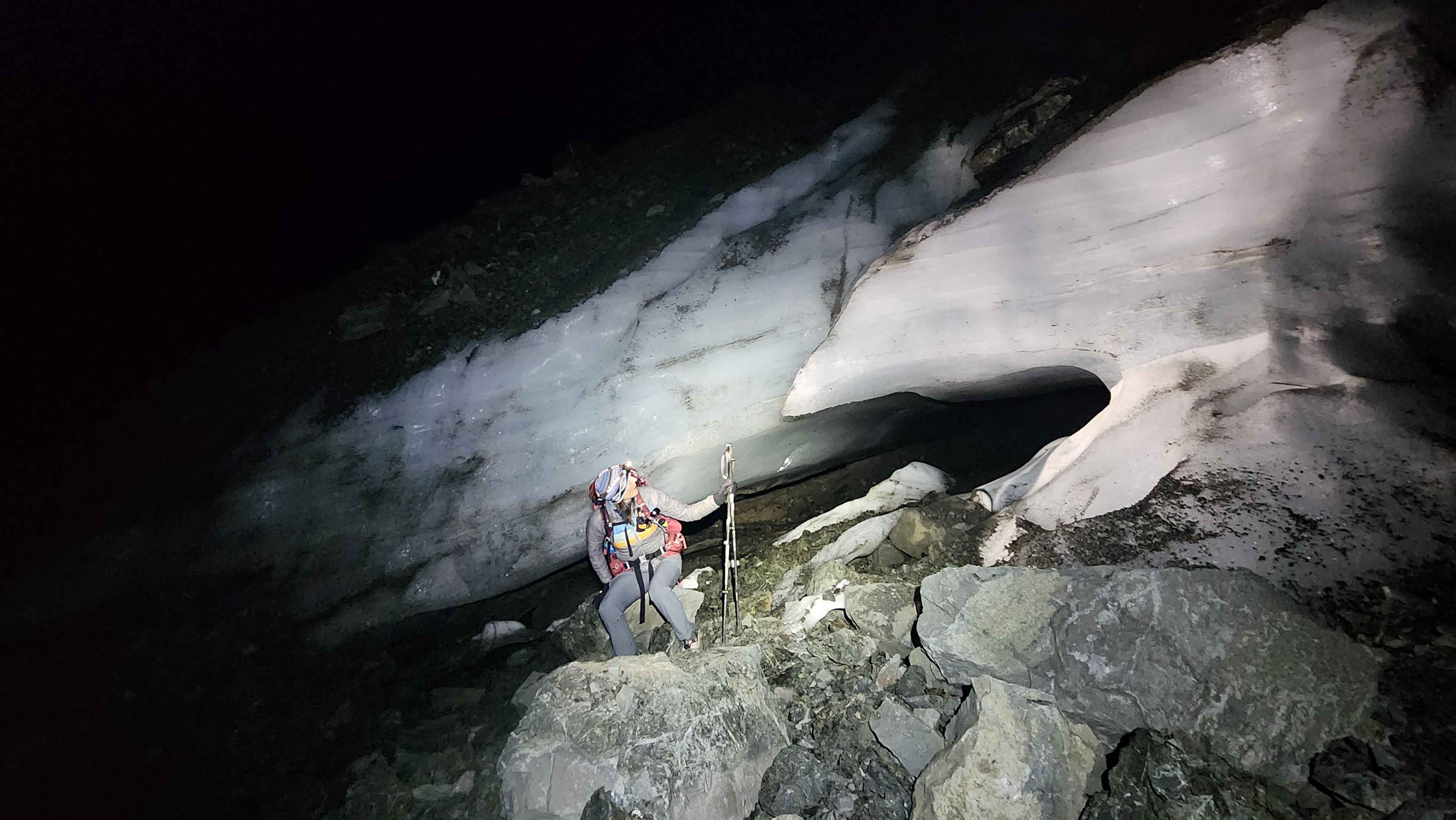
An arced bridge of ice at the bottom edge of the glacier
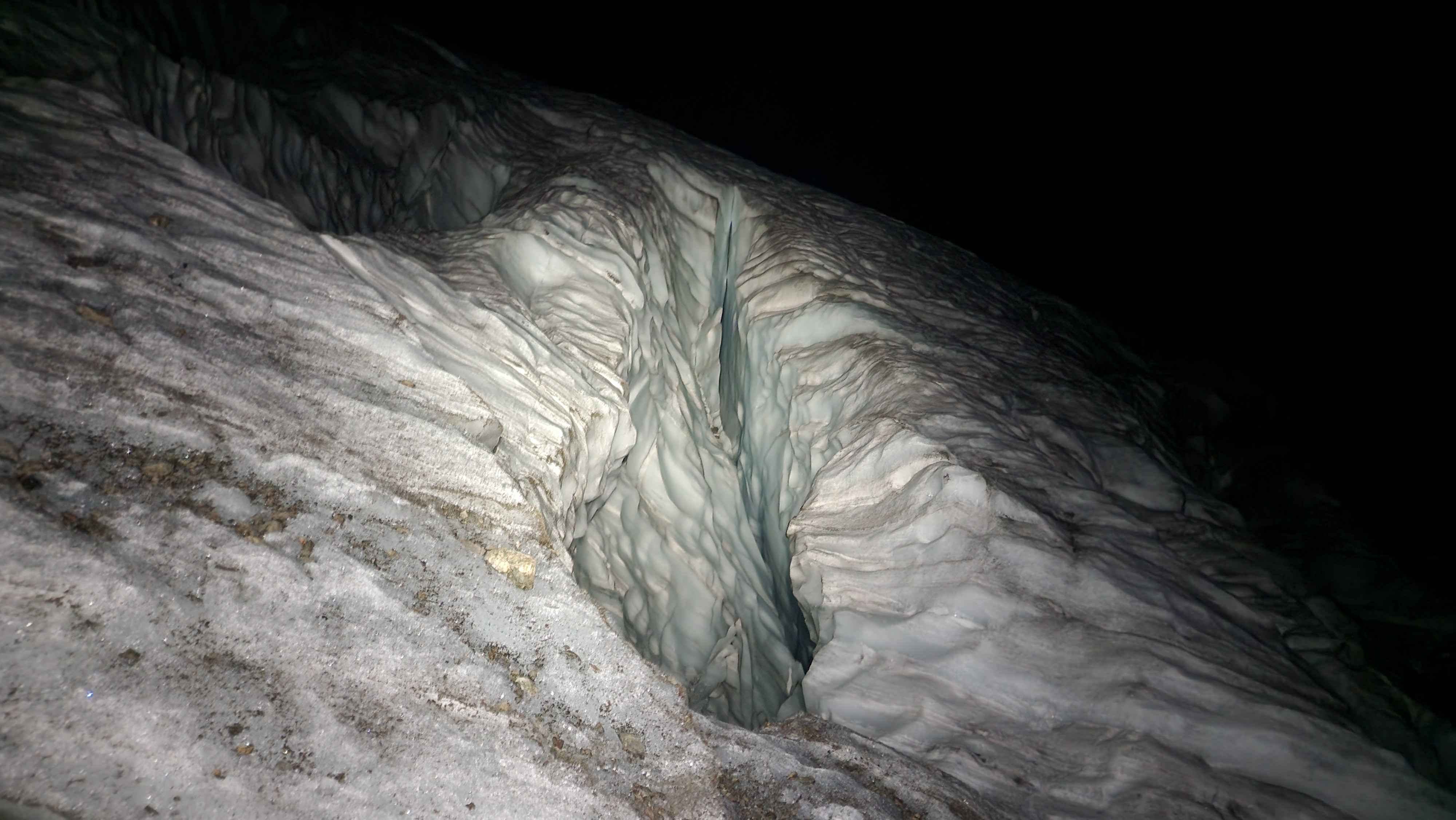
An ice cave formed by the glacier
Gaia showed us as crossing the glacier when we walked by the bottom edge (blue line was from this day)
After crossing the main section of the glacier, we continued traversing the rock field. We often ended up on old parts of the glacier. A few had small, exposed crevasses, but none were really a threat. There were some larger overhangs of ice that we unknowingly walked across, but they seemed really solid. The route went all the way down to 6450’, and then climbed up a bit to 6550’. There were several rock cairns marking the route to 6550’.
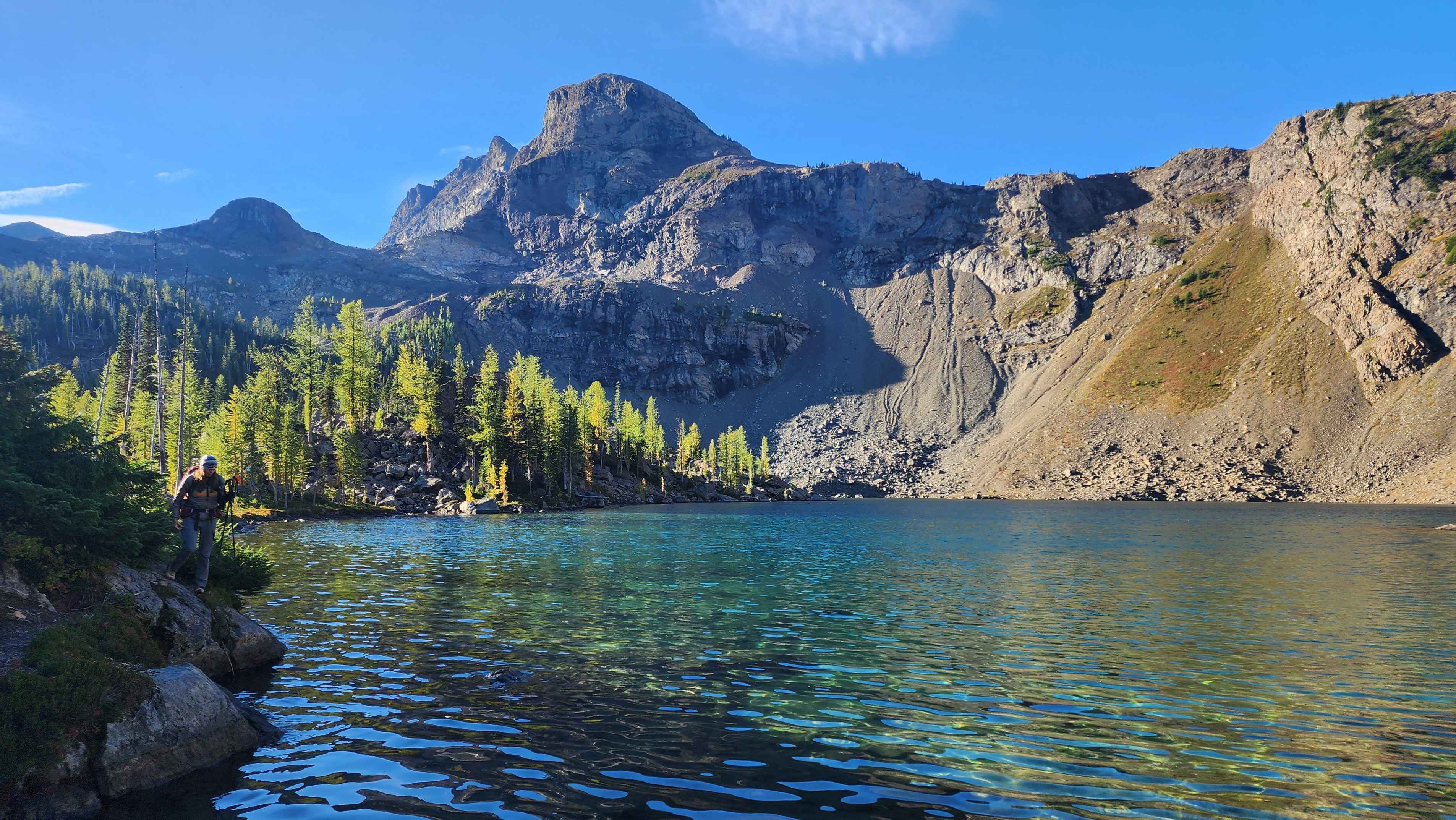
We then descended to Jerry Lakes and set up camp right by the west lake.
Descending the rock field to 6450’
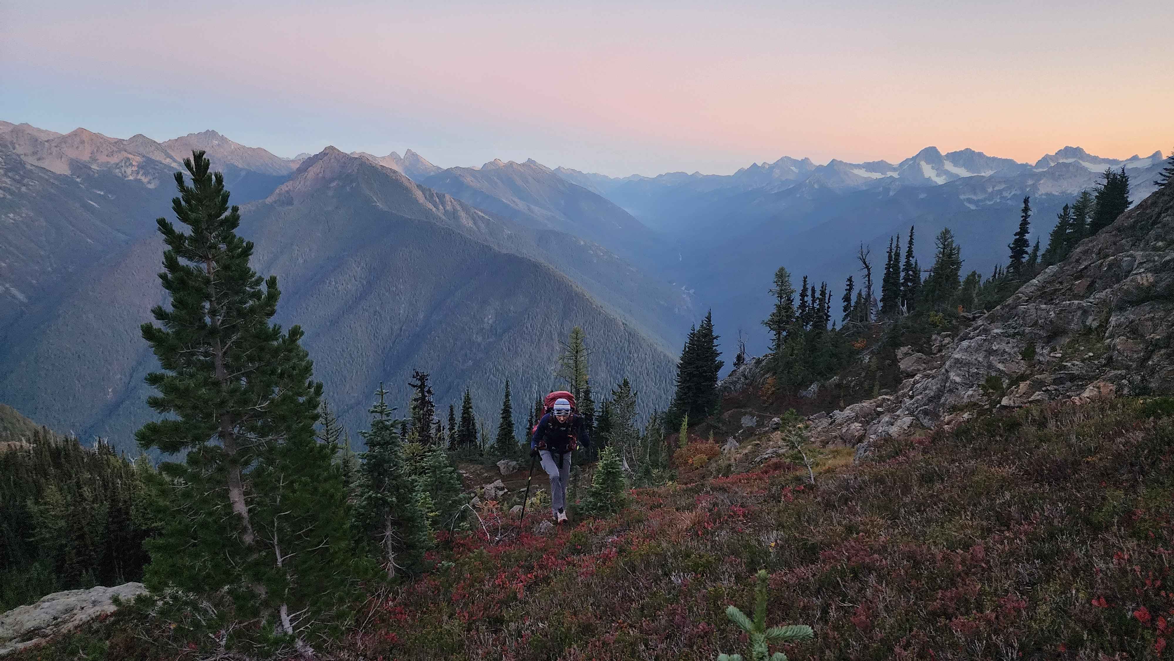
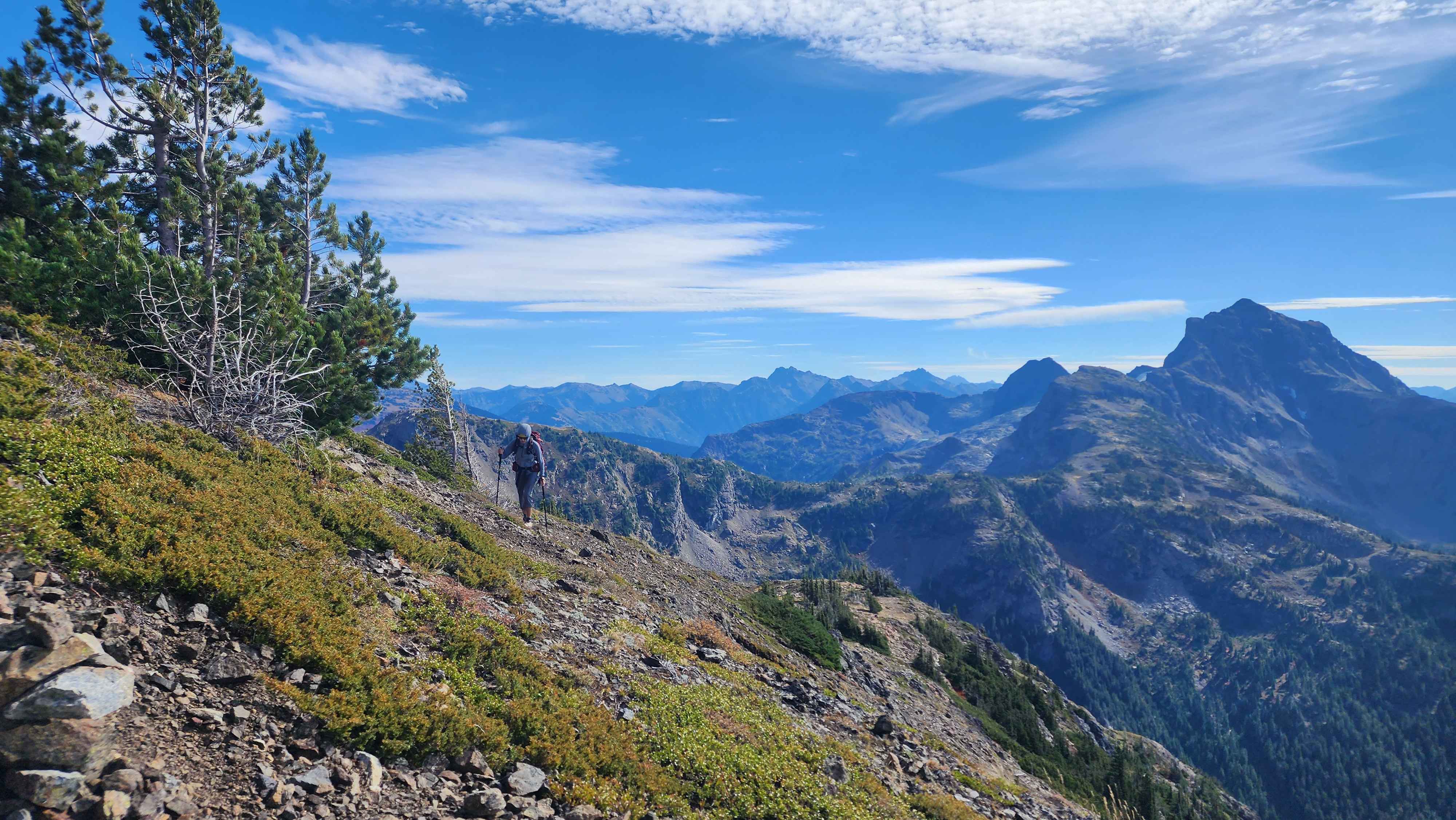
We started hiking the next day by 9. It was a perfectly sunny day, which made for a great summit day. We hiked up to the saddle on the northwest side of Jerry Lakes. The route was a bit peculiar since it went straight up to almost 6400’ and then traversed a ways to the southwest until the saddle. This work-around was to avoid a cliff that was below the saddle.
The west lake in the morning
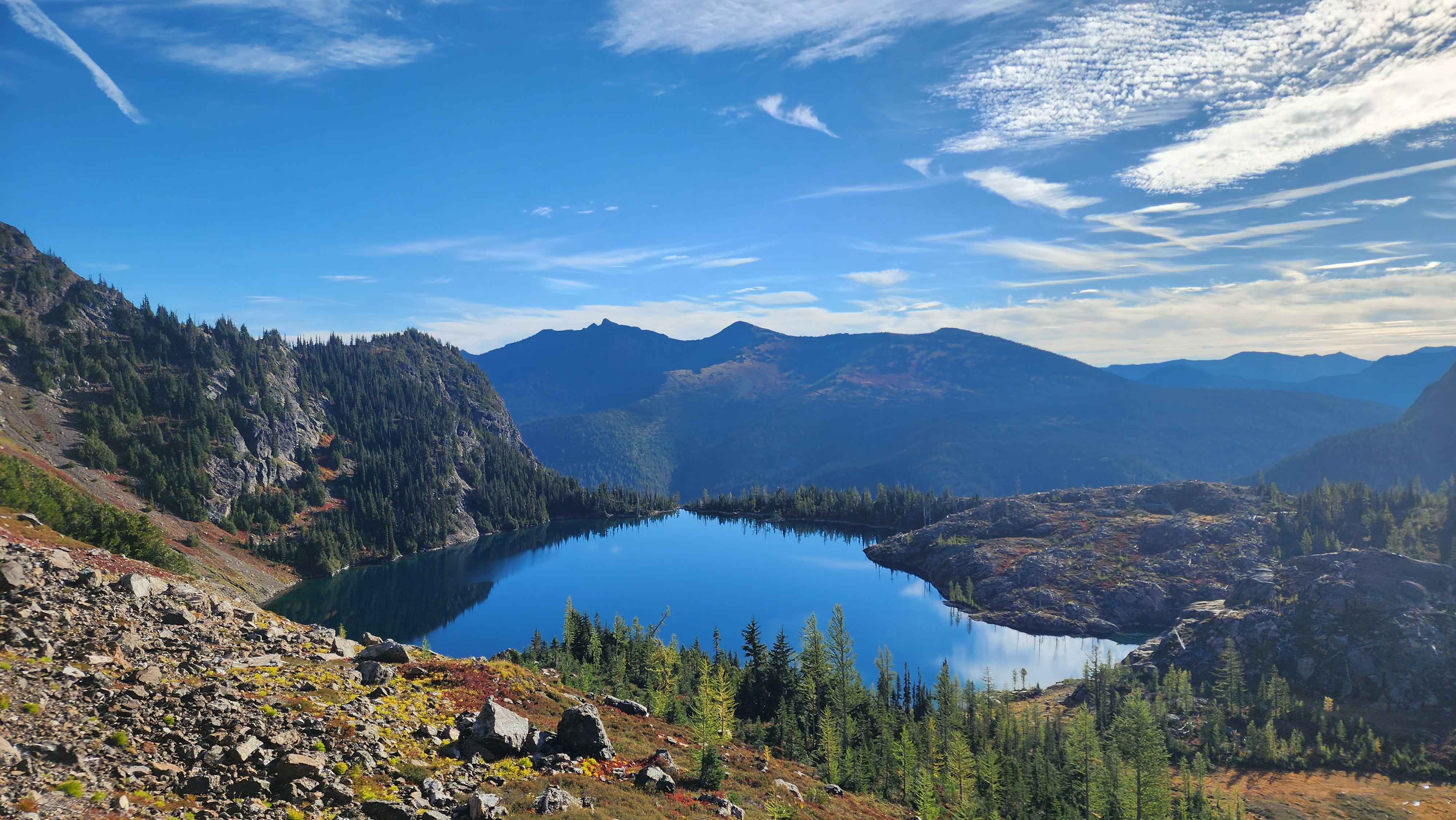
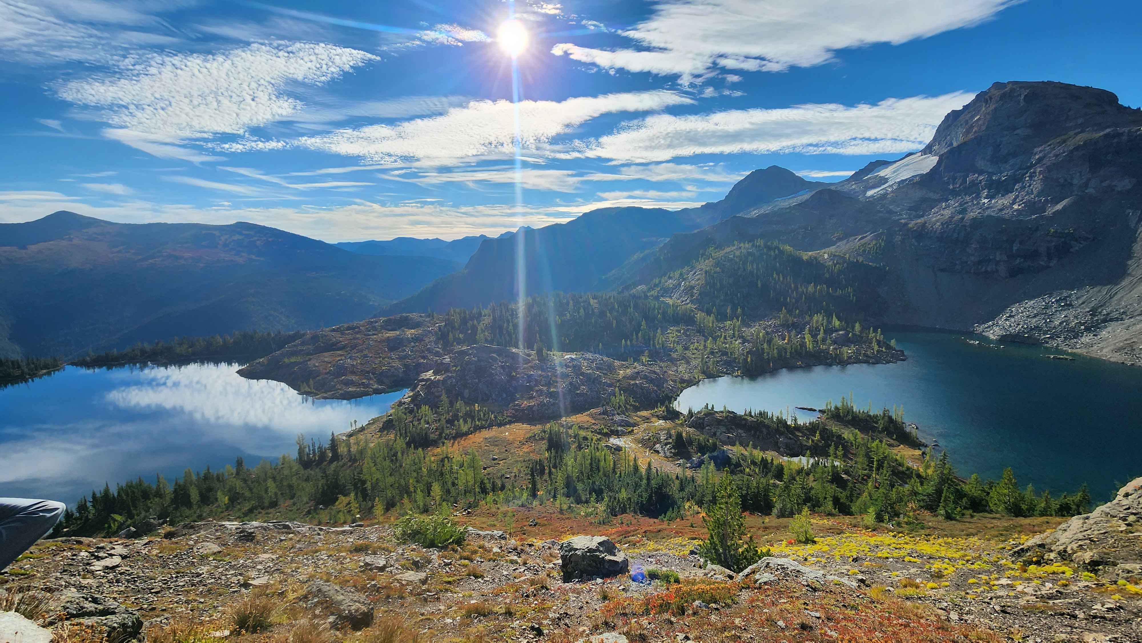
The north lake from above
Both the lakes
Traversing to the saddle
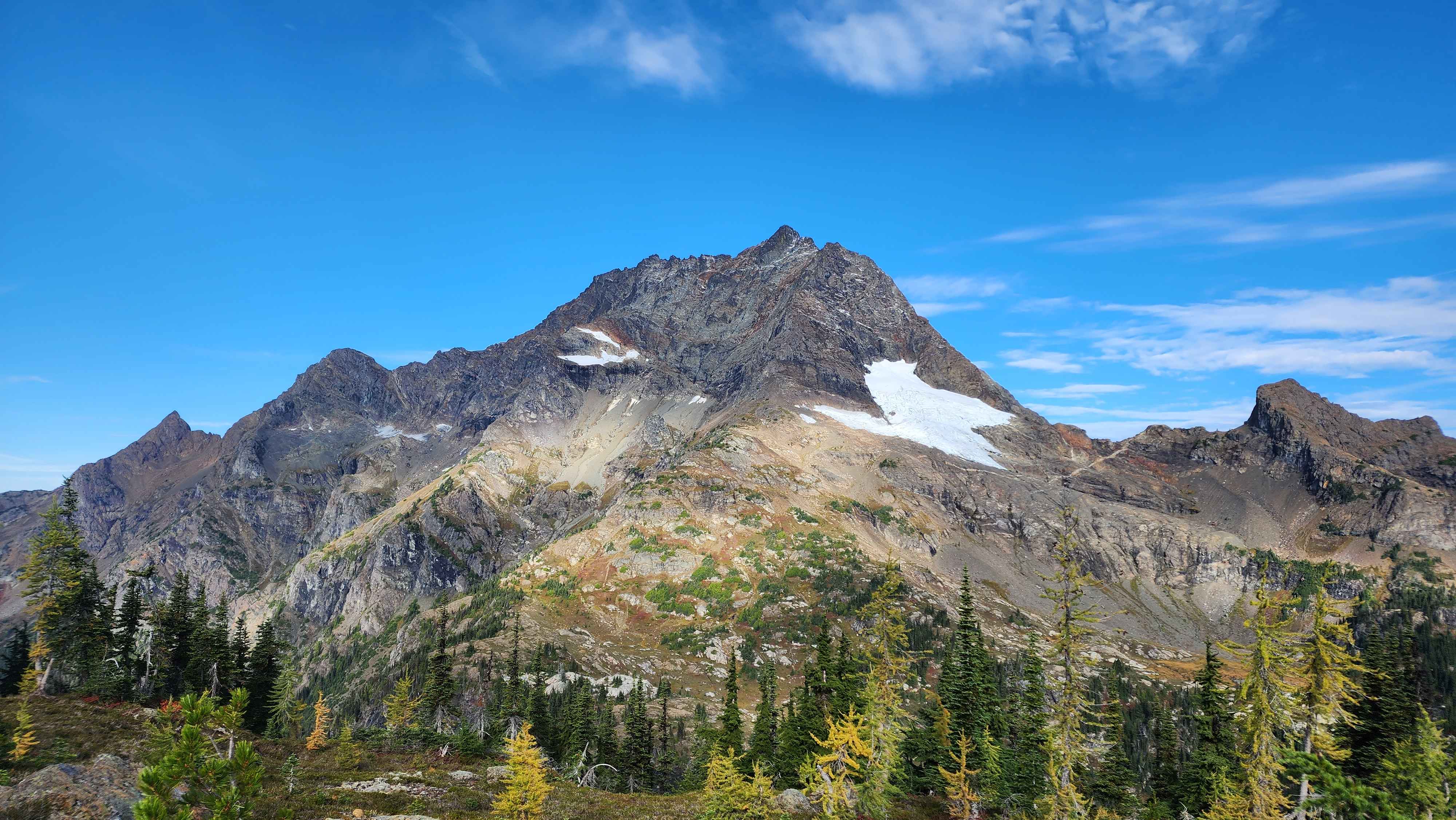
At the saddle we got our first view of Jack in the daylight.
Jack is a very standalone mountain; no other mountains near it are even close to it's height and mass
Crater Moutain from the saddle
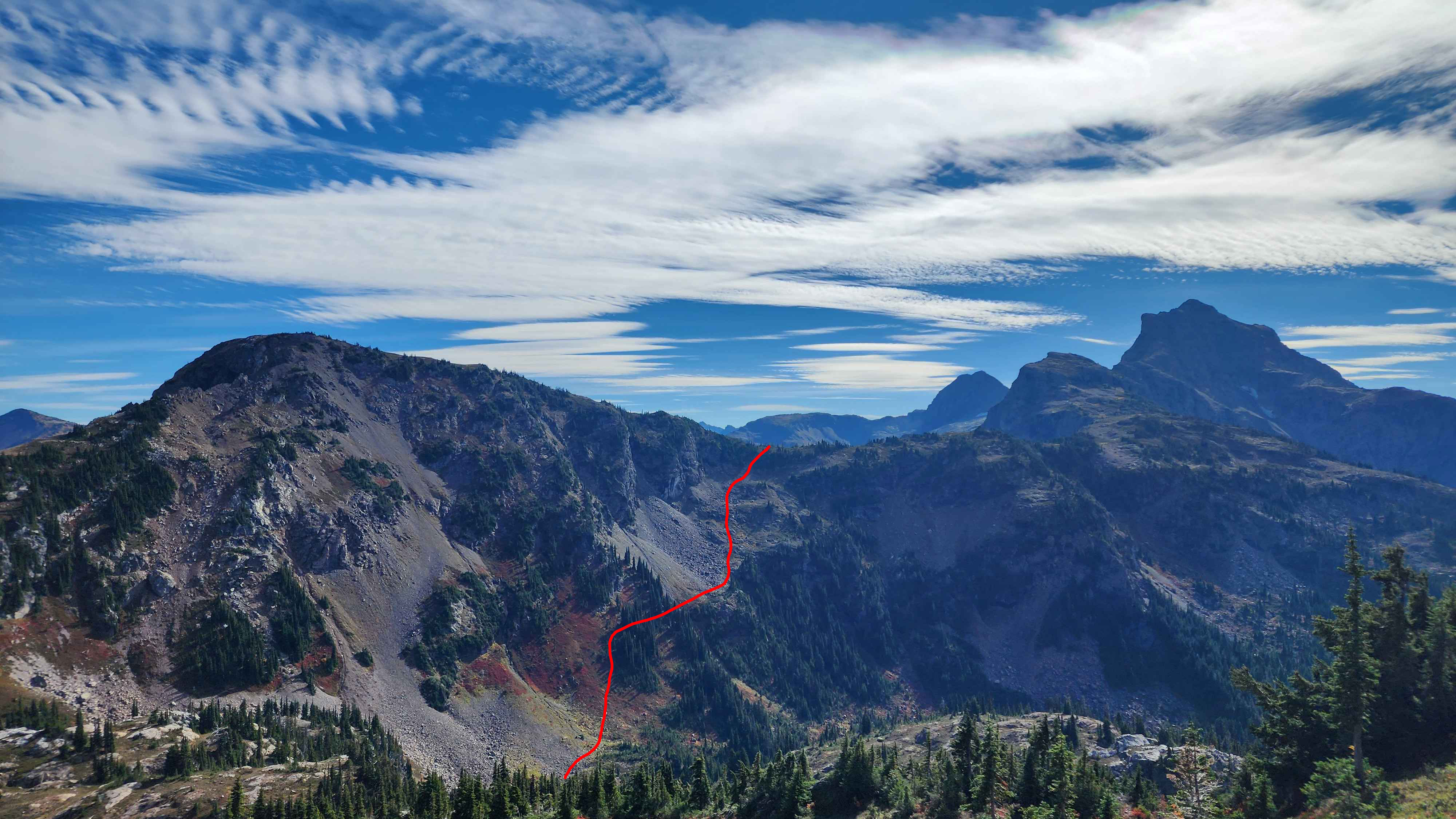
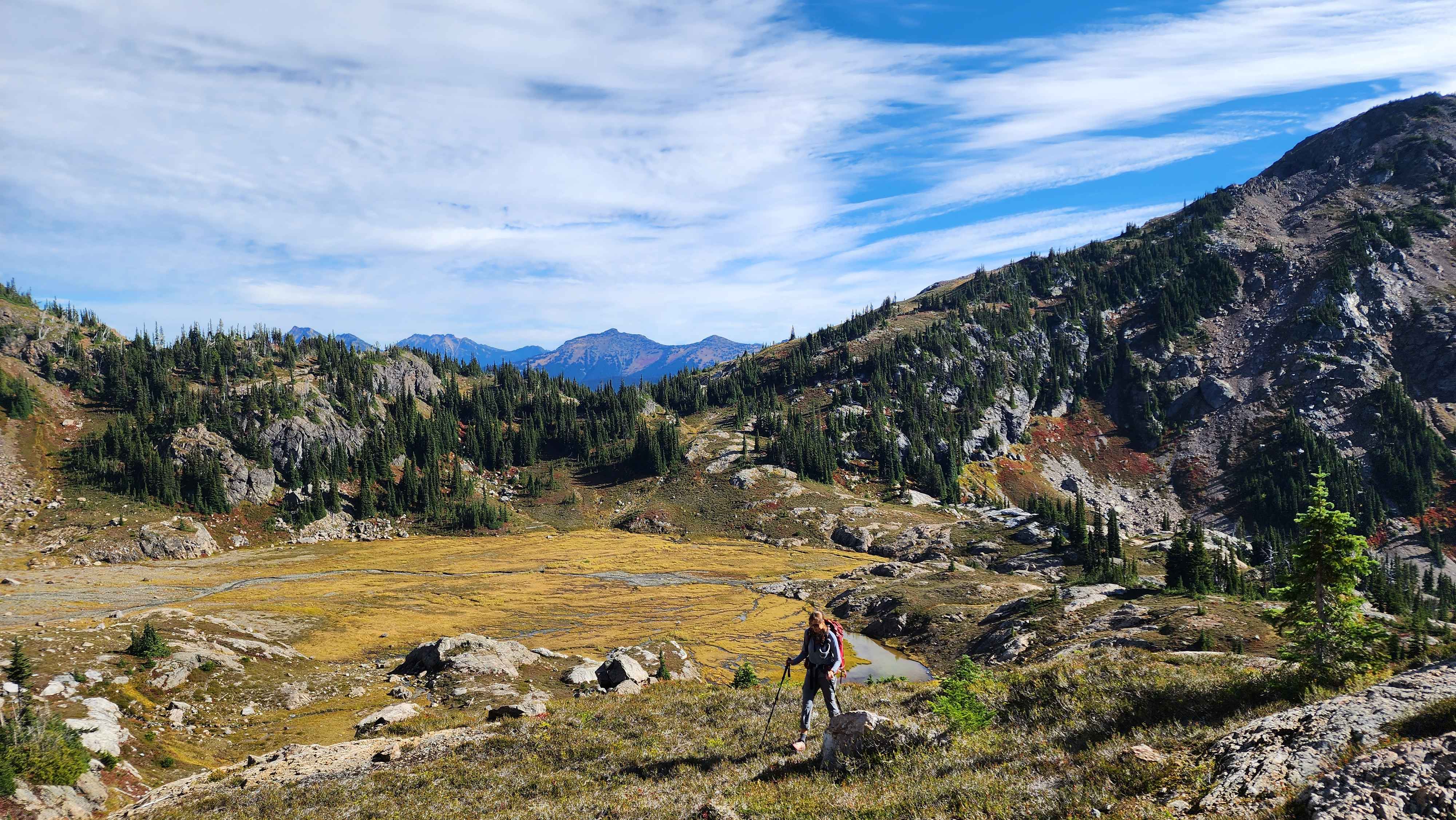
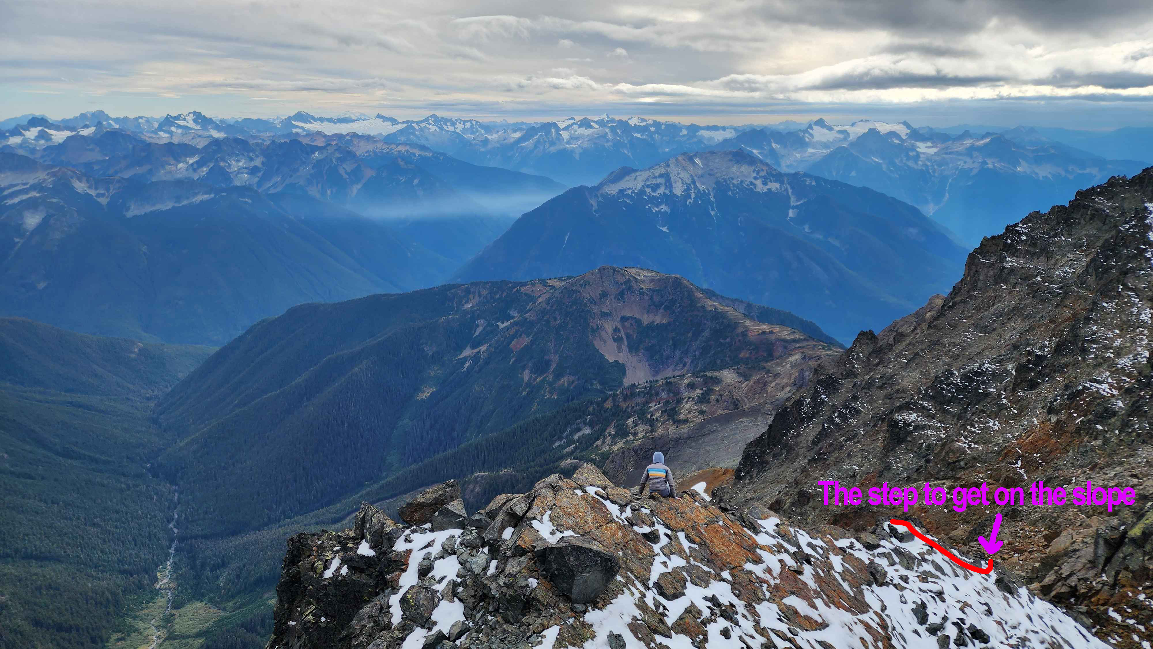
The hike from the saddle down to the valley didn’t prove to be very difficult. There was some meadow walking, rock/scree scrambling, and bushwacking. This section was a lot worse on the way out when we had to go up it and we were tired while in the dark.
The route up/down from the saddle to the valley
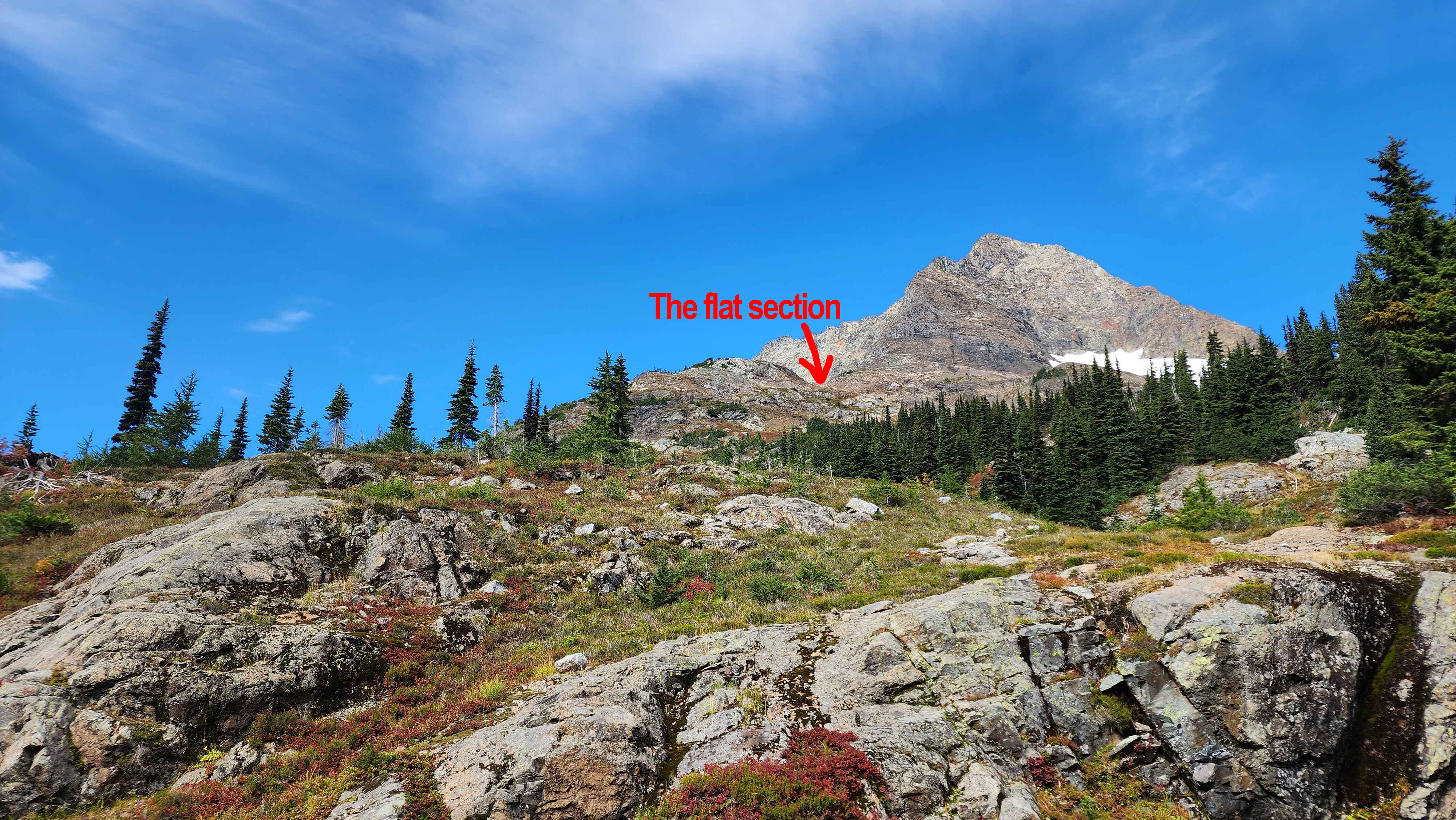
We filled up our water supply with water from the creek flowing through the valley. We then made our way to the flat section at 7000’ just before the climb began. We took a dried creek to get up to the main ramp that led to the flat section. This route wasn’t the best since we had to scramble up a flat rock with thick trees above it. After making it to the ramp there was no more bushwacking; it was a lot of mundane meadow walking and some rock scree fields.
Where the flat section is from the creek
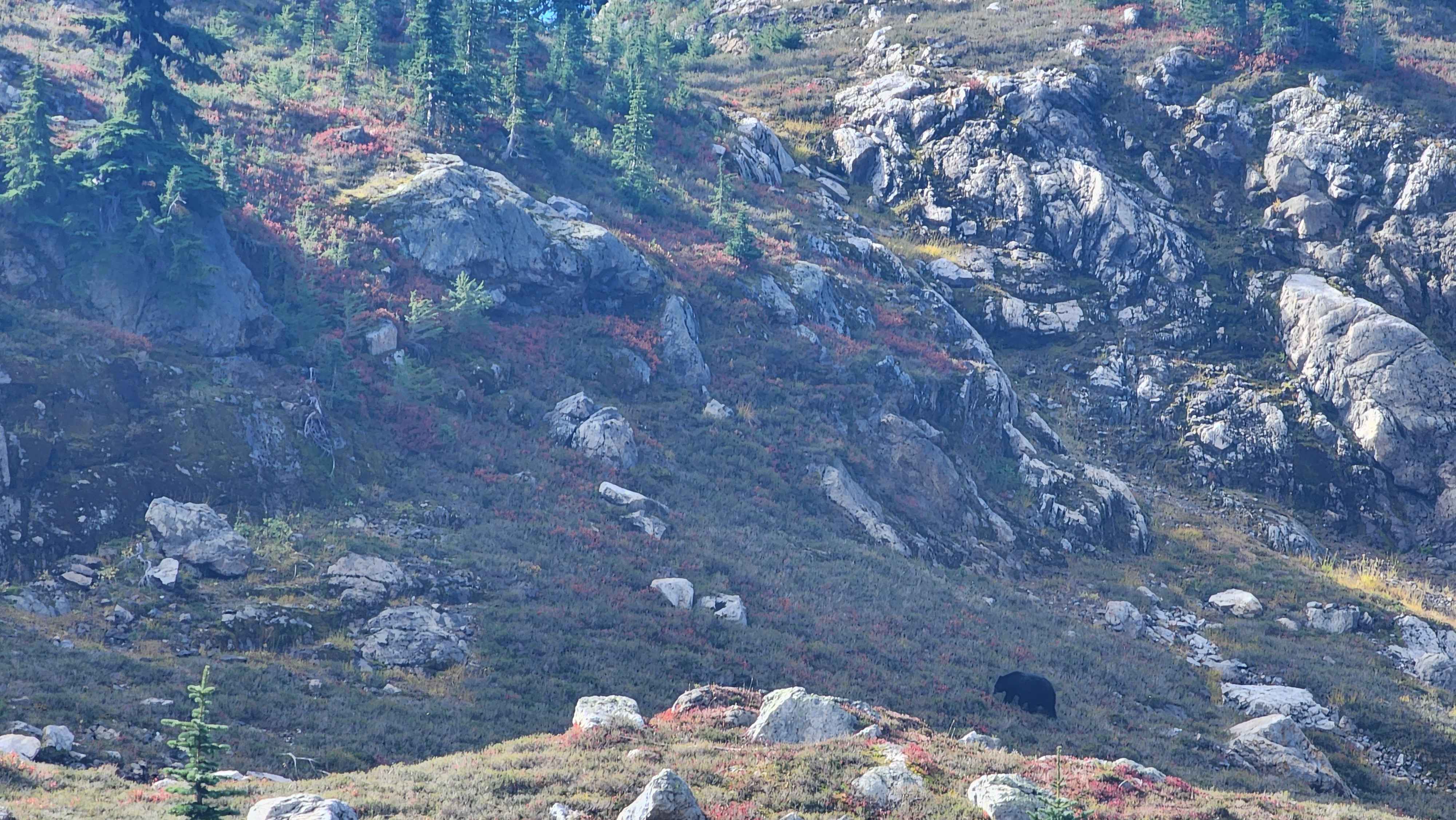
A black bear we saw from the dried creek
Hiking up the ramp
A meadow section on the ramp
Rock scree just before the flat section
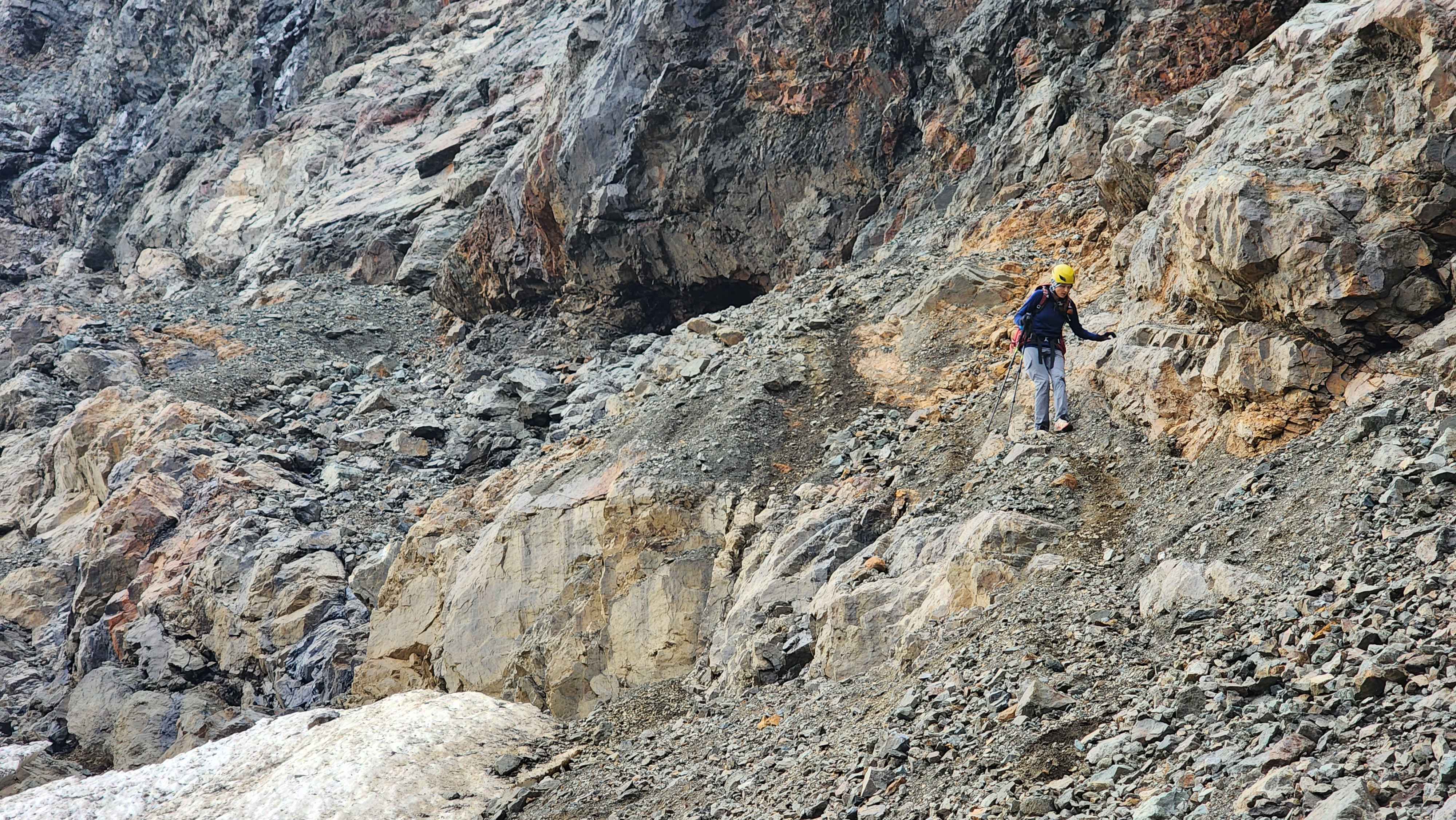
After eating lunch on the flat section, we put on our helmets and started the climb. There was a bit of meadow walking to get to the start of the scree field. The scree field was very variable from section to section. Many parts were very deep with gravel and others were solid dirt. Many parts of the field had a cliff a bit below which made things unnecessarily scary. The solid dirt sections were quite a nuisance since the dirt was too solid and steep to step on. There were rocks stuck in the solid dirt that we used as stepping stones to get across without slipping.
Hiking through the meadows to get to the scree field
The scree field
Traversing the scree field
Still traversing the scree field
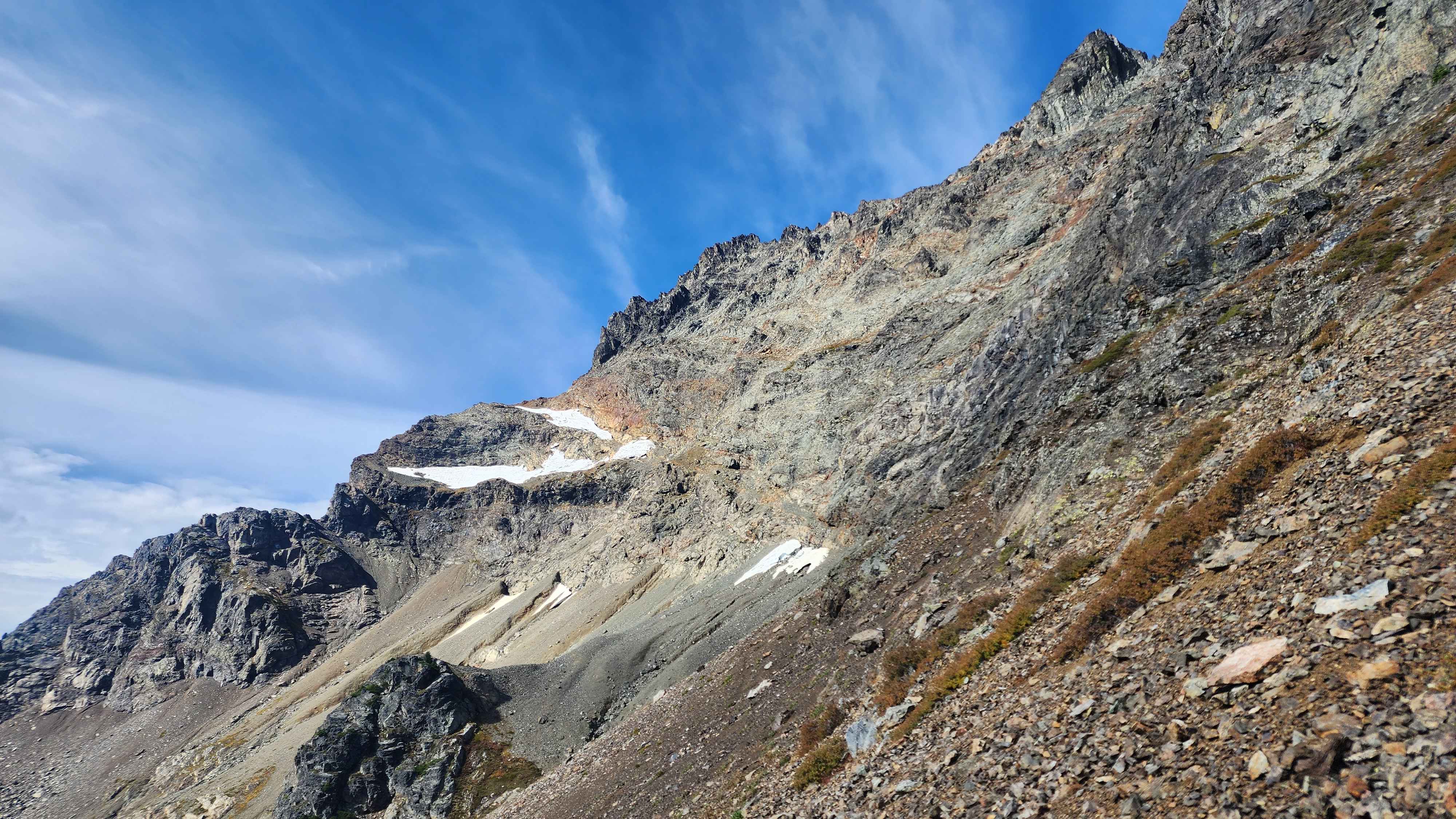
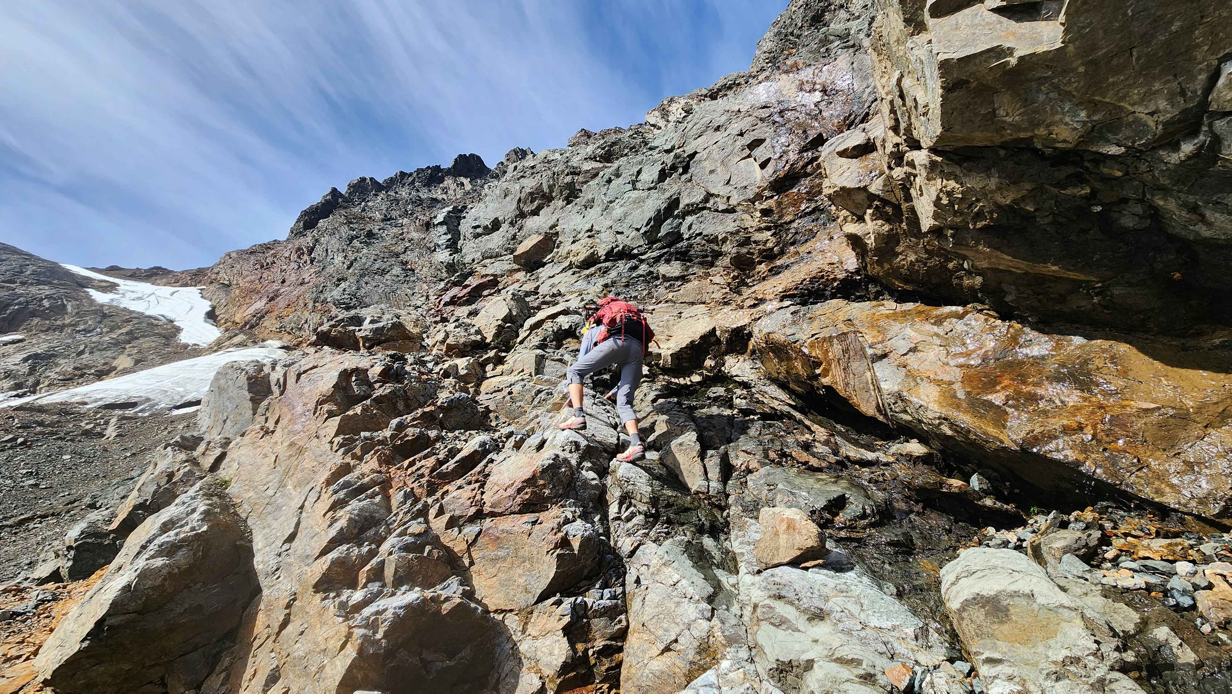
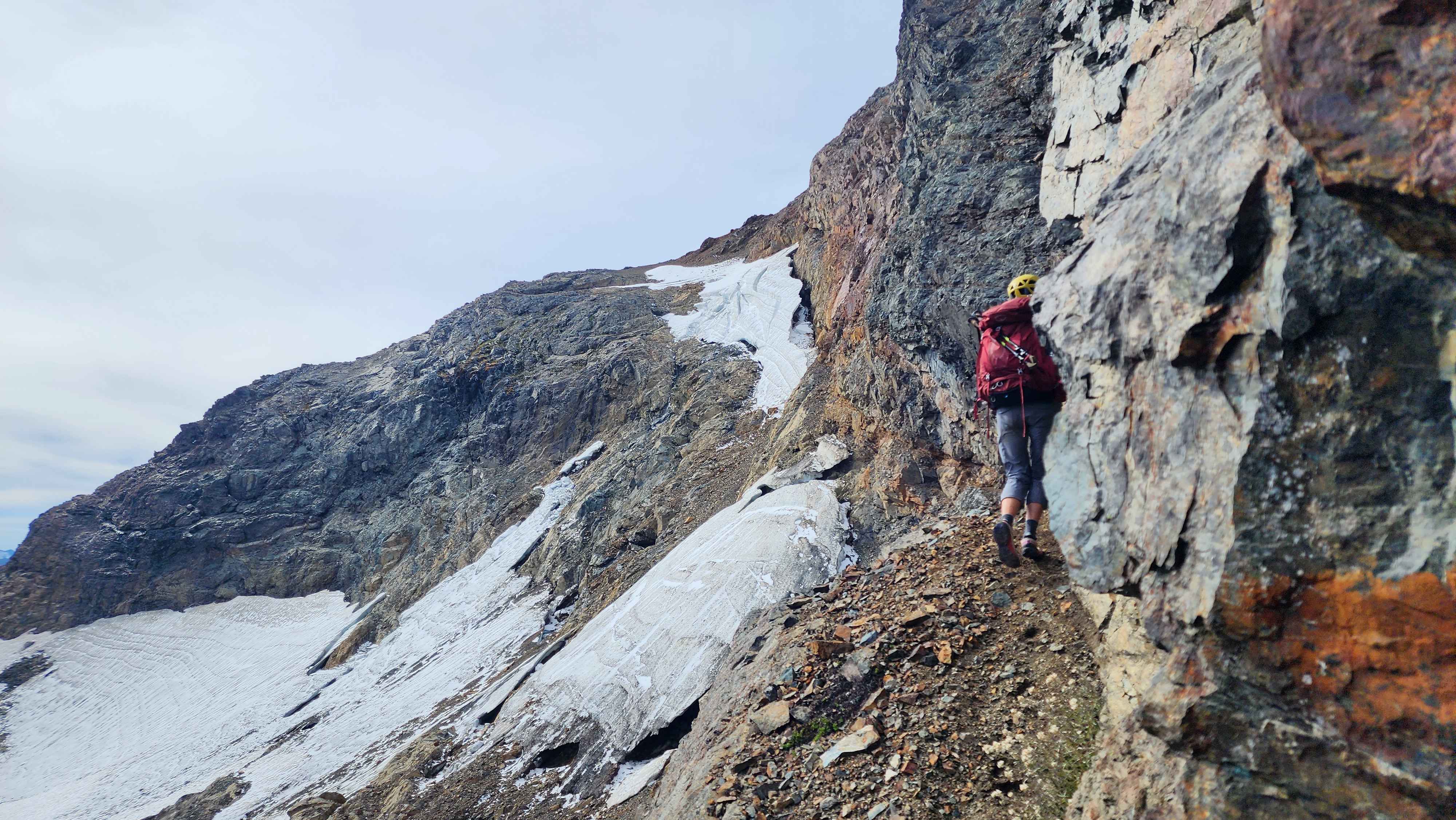
Eventually we came to the small glacier around 7400’. To route went up on a ledge above the glacier. It got very steep at the entrance to the ledge, so we struggled to get footholds in the gravel scree. Walking the ledge wasn’t the worse thing ever but being a ledge it had a long drop to one side. At several points there was not much room to walk between the ledge and the rock wall.
About to climb onto the ledge above the glacier
On the ledge
The rock scree on the ledge
A dirt section on the ledge
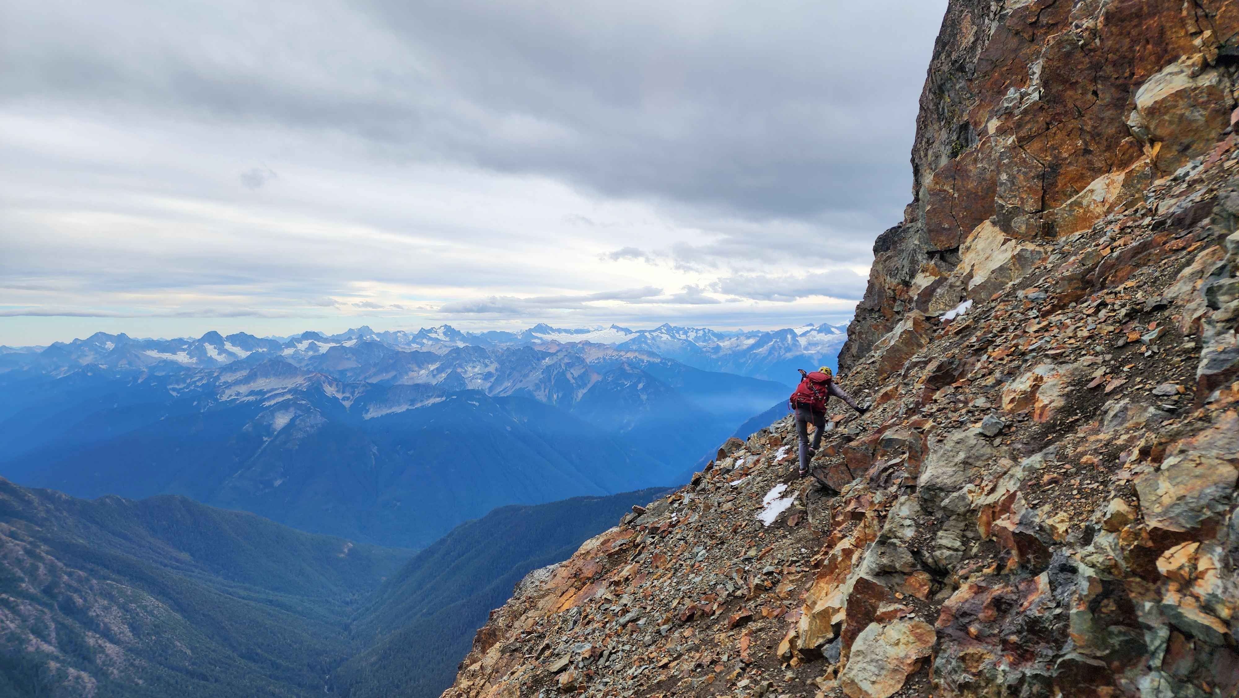
We came to a point where there was a very small, exposed ledge to continue on the main ledge; it was marked with a rock cairn. We decided to climb down to a lower ledge which went to a creek. We realized that we were too low, so we tried to climb up by the creek. The climbing was a bit too sketchy for us, so we tried to figure out the intended route. We backtracked to where the rock cairn was and realized that we were supposed to climb up to a ledge above. Once we made it up there was another rock cairn, so we knew we were back on track.
We walked the ledge we had just climbed onto for a bit. There was a much longer rock scramble section to get to a higher ledge were the crux of the route was. The crux didn’t feel very hard since it was protected by the ledge below. Like lots of the other difficult sections of this route, the crux was essentially class 5.
Scrambling up the rock to get to the ledge before the crux (I think)
Almost to the ledge
The crux of the route; a 20 foot class 5 section
The ledge just before the crux
There was some loose rock that looked solid just above the crux. My partner pulled some down on themselves and got a bit hurt. We took a less steep route around the bad rock.
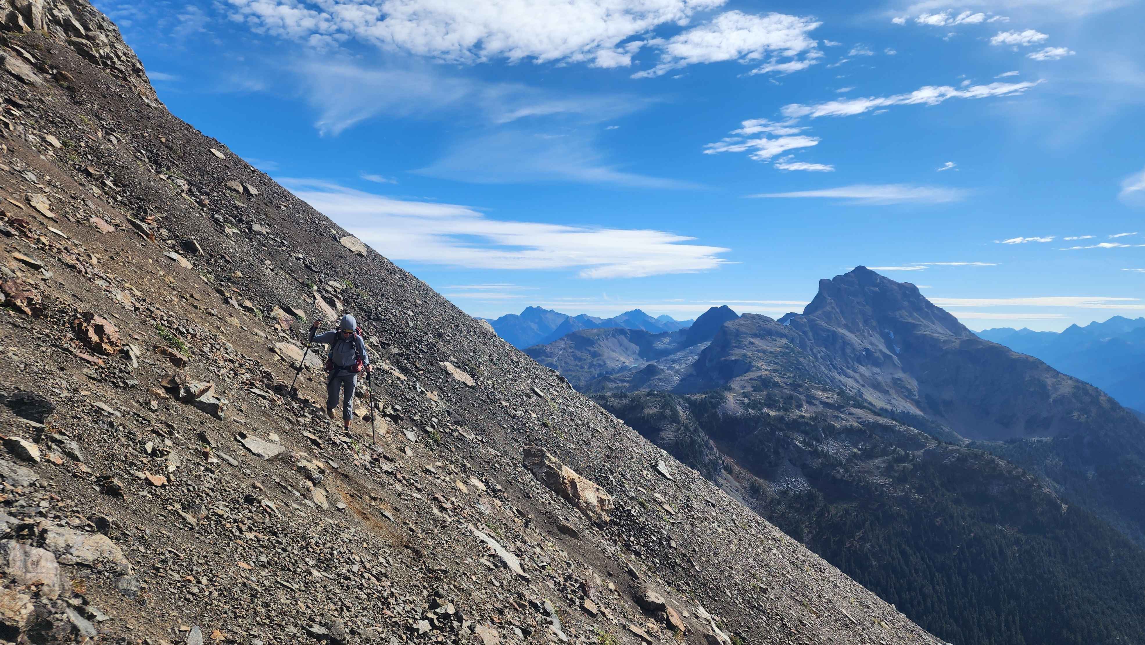
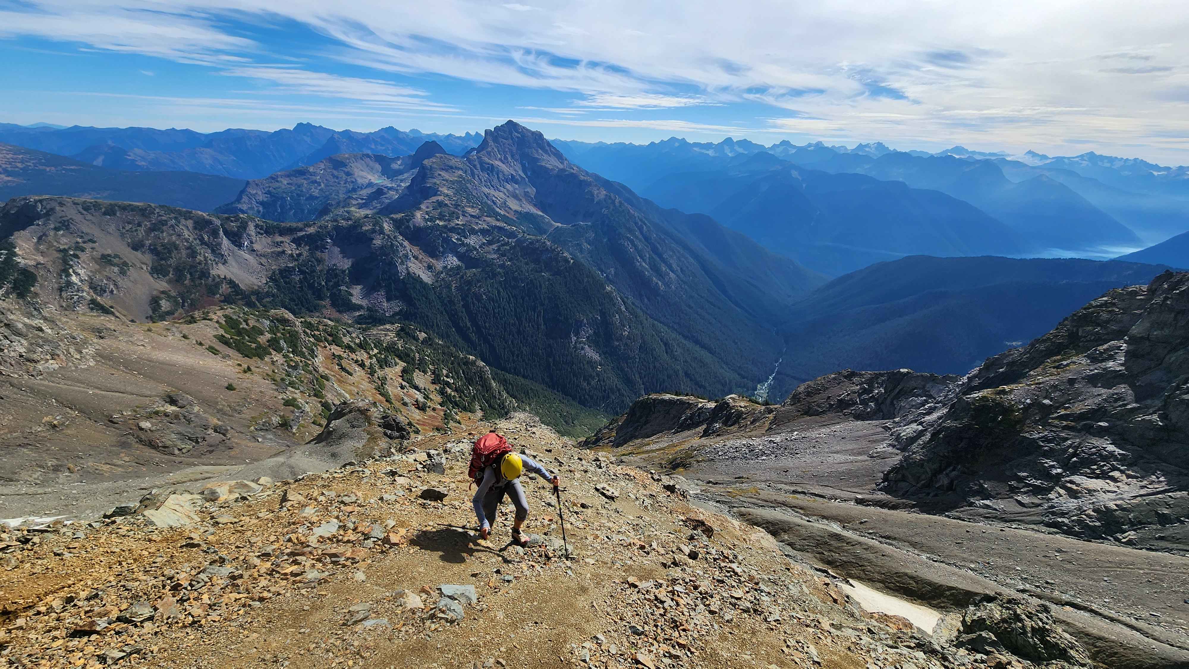
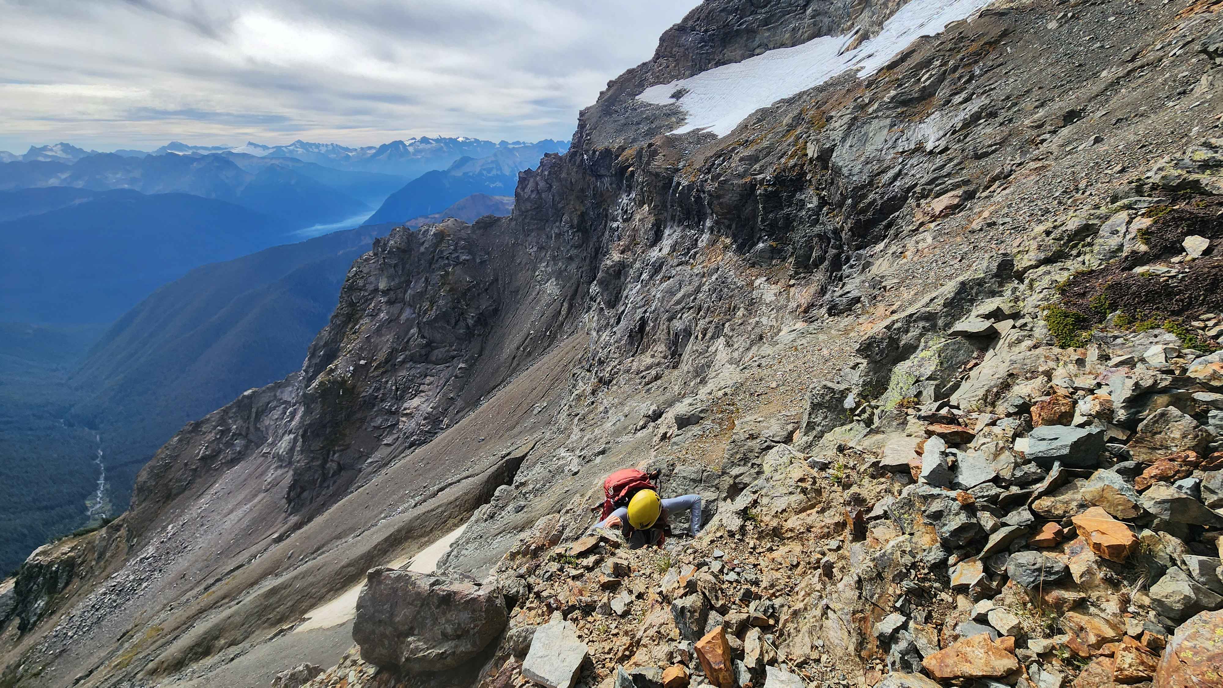
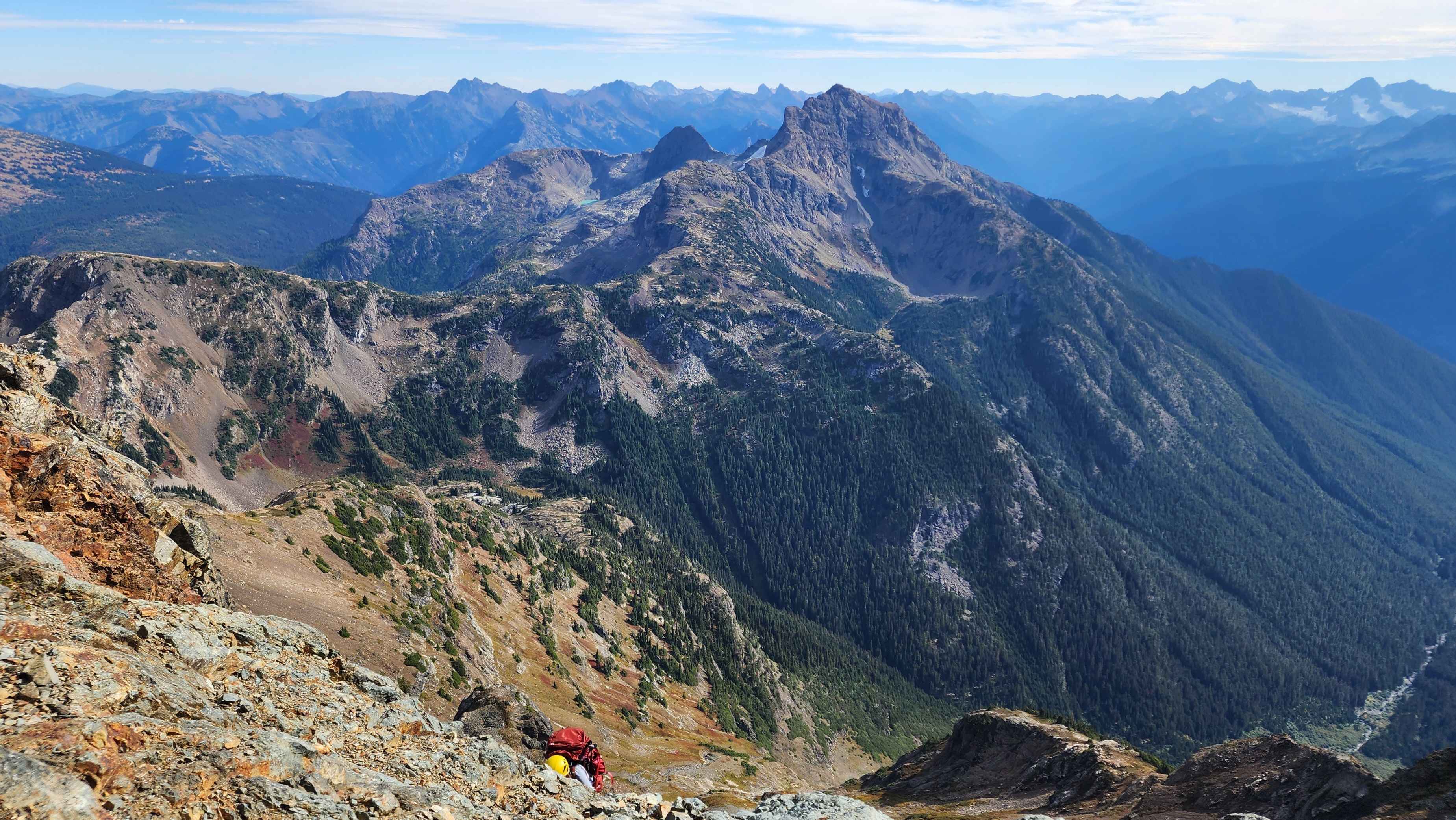
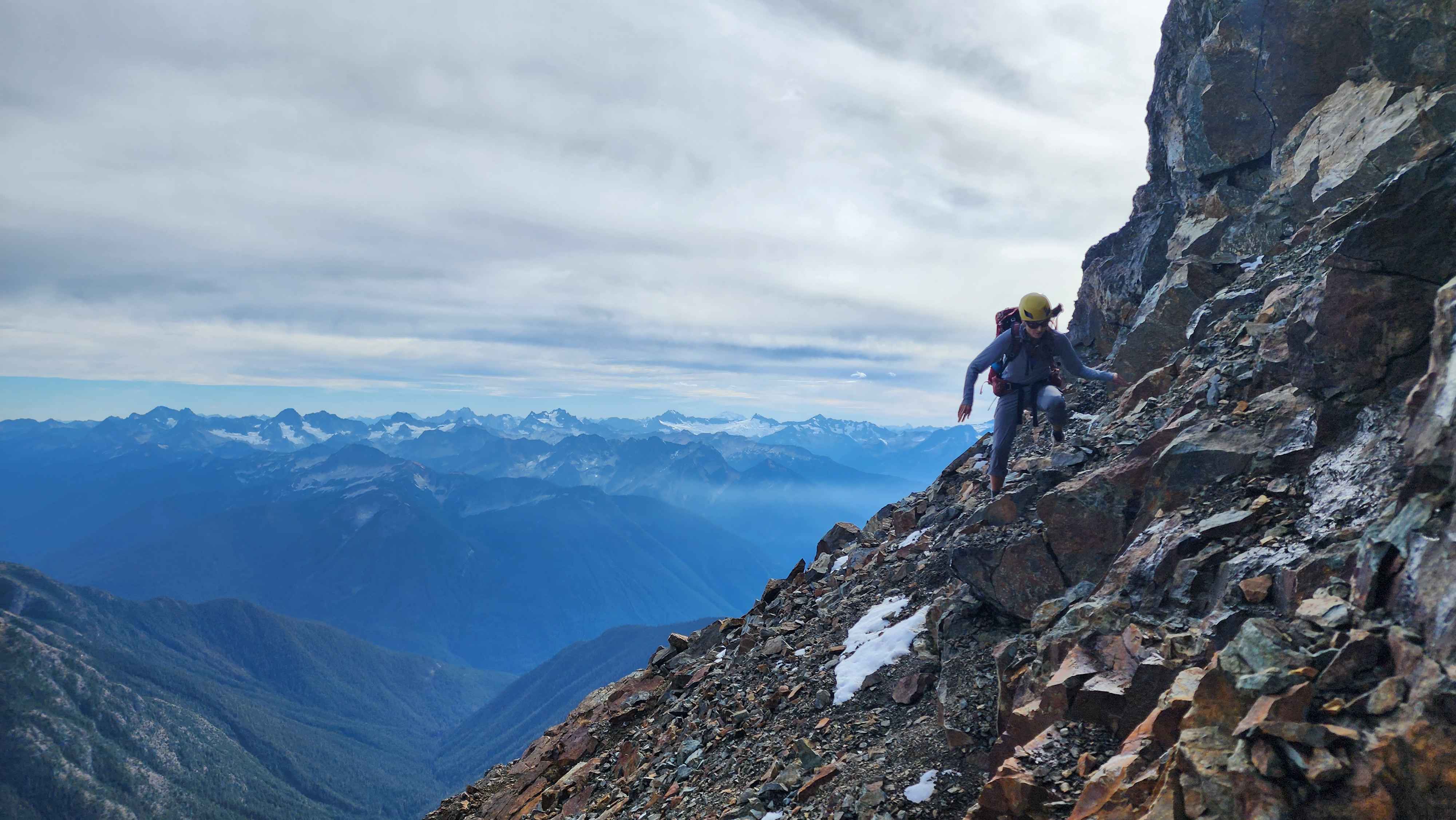
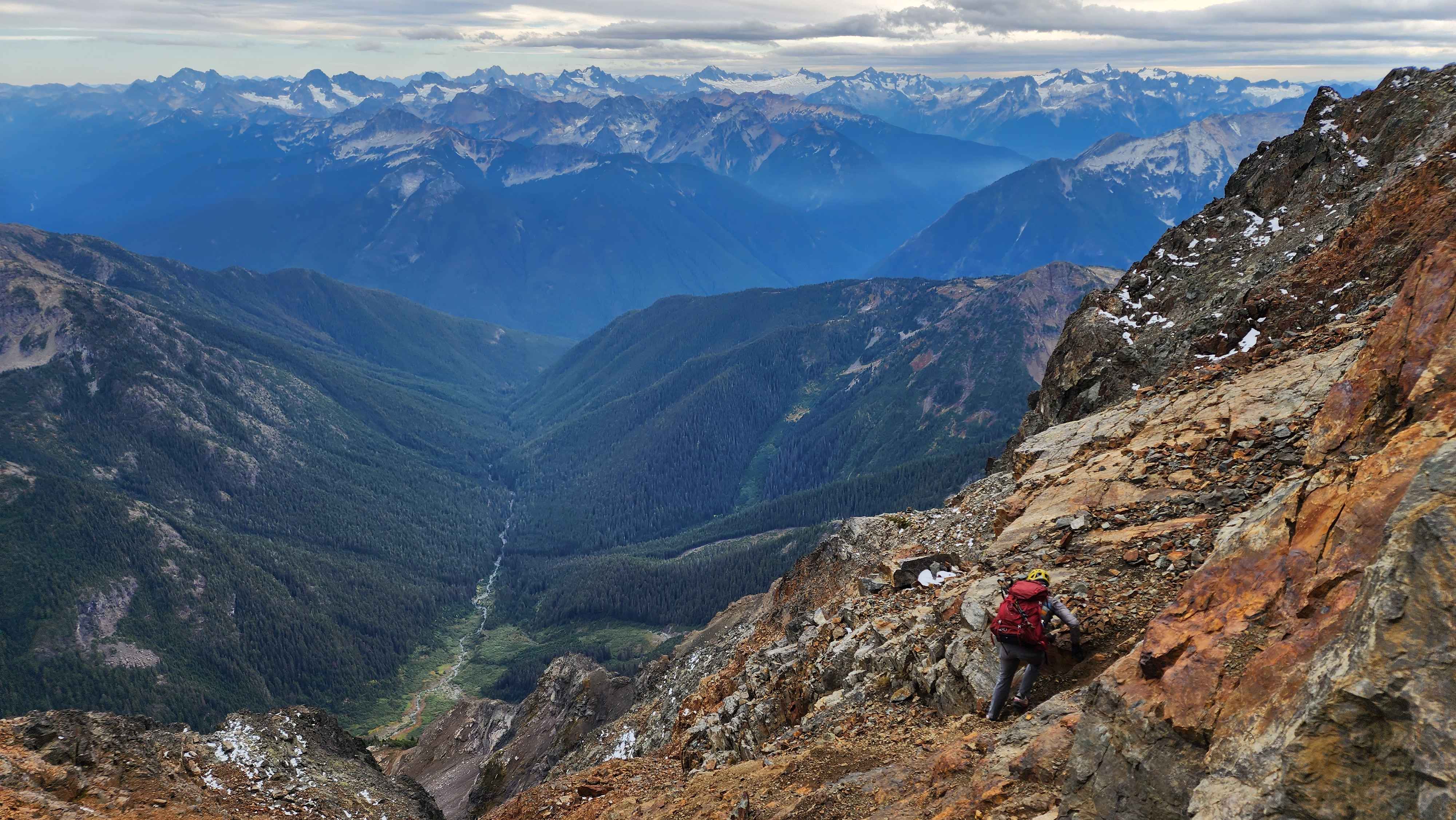
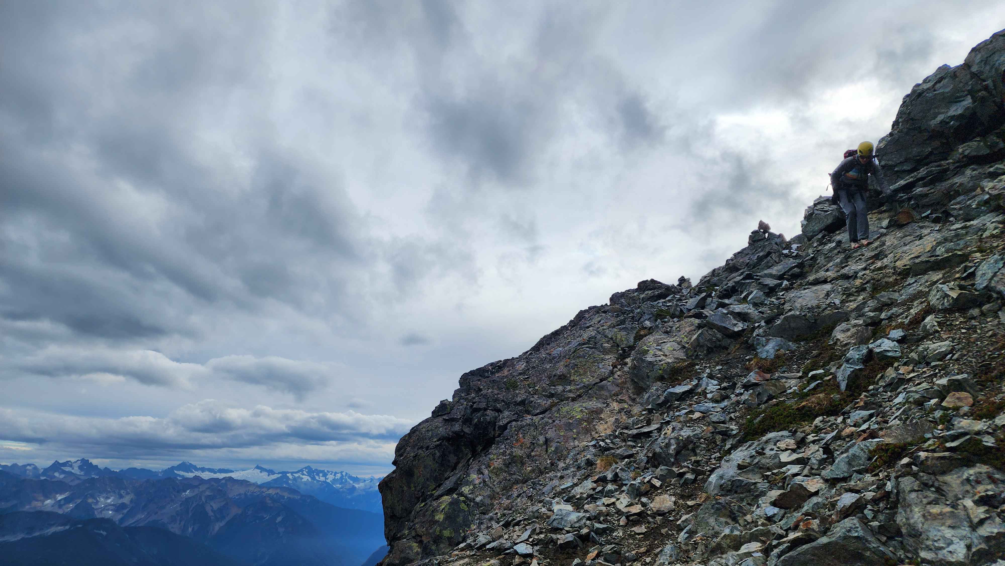
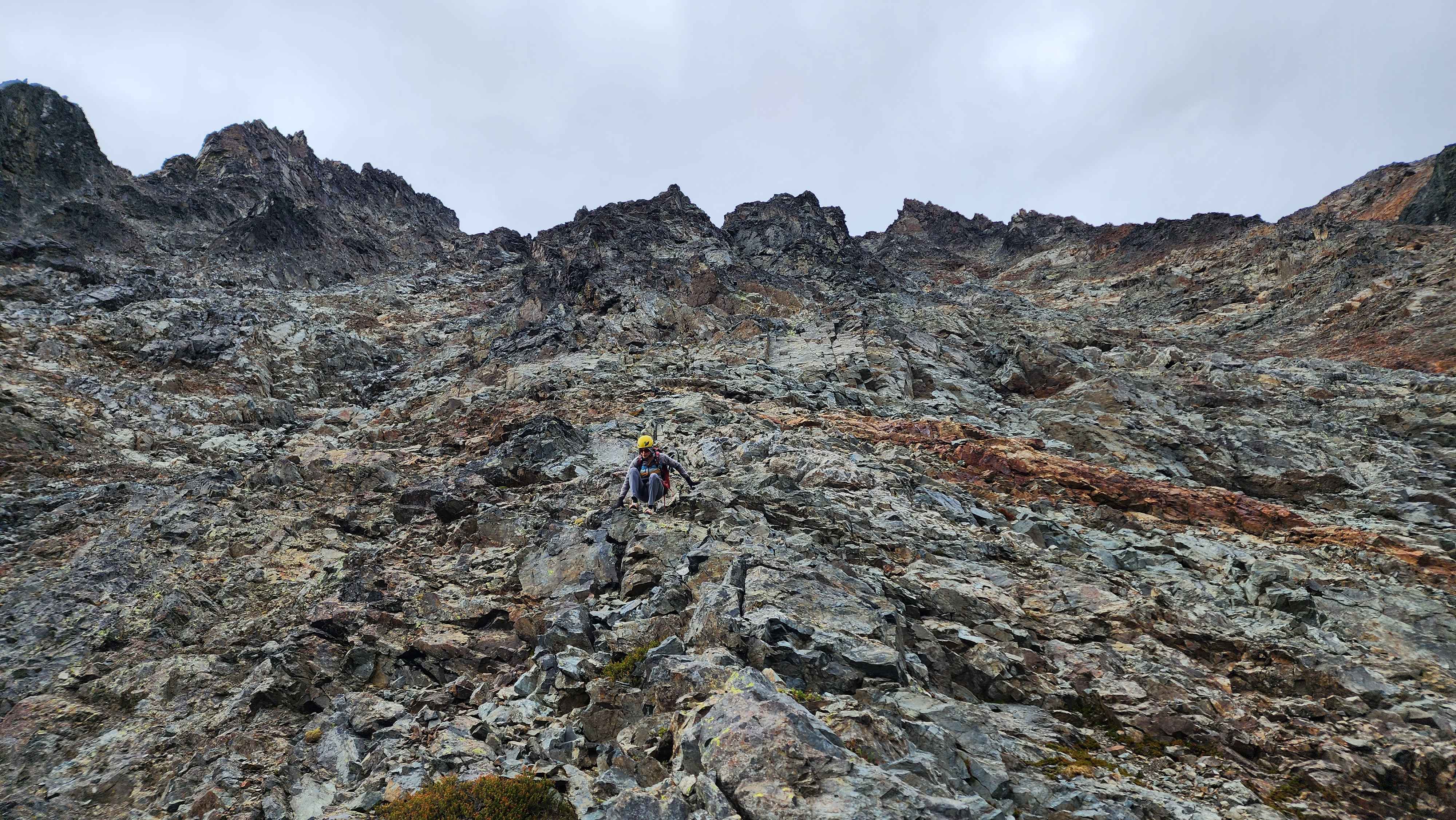
After this, a lot of my memory of the climb blended together. It was a whole lot more scrambling across some good rock, and a whole lot of bad loose rock. There were several rock cairns marking the route which was super helpful on the way down. Lots of the scrambling was above long drops and full-on cliffs. The rock rarely felt solid, which made the exposure feel much worse; this route had far more verticle feet of exposed scrambling than any other climb I'd done (about triple that of Fernow). The route weaved across the steep south slope of Jack all the way up to 8800’.
Climbing the scree covered rocks
A flatter section with a rock field
A rock cairn with Crater Mountain in the distance behind it
On a steep ledge
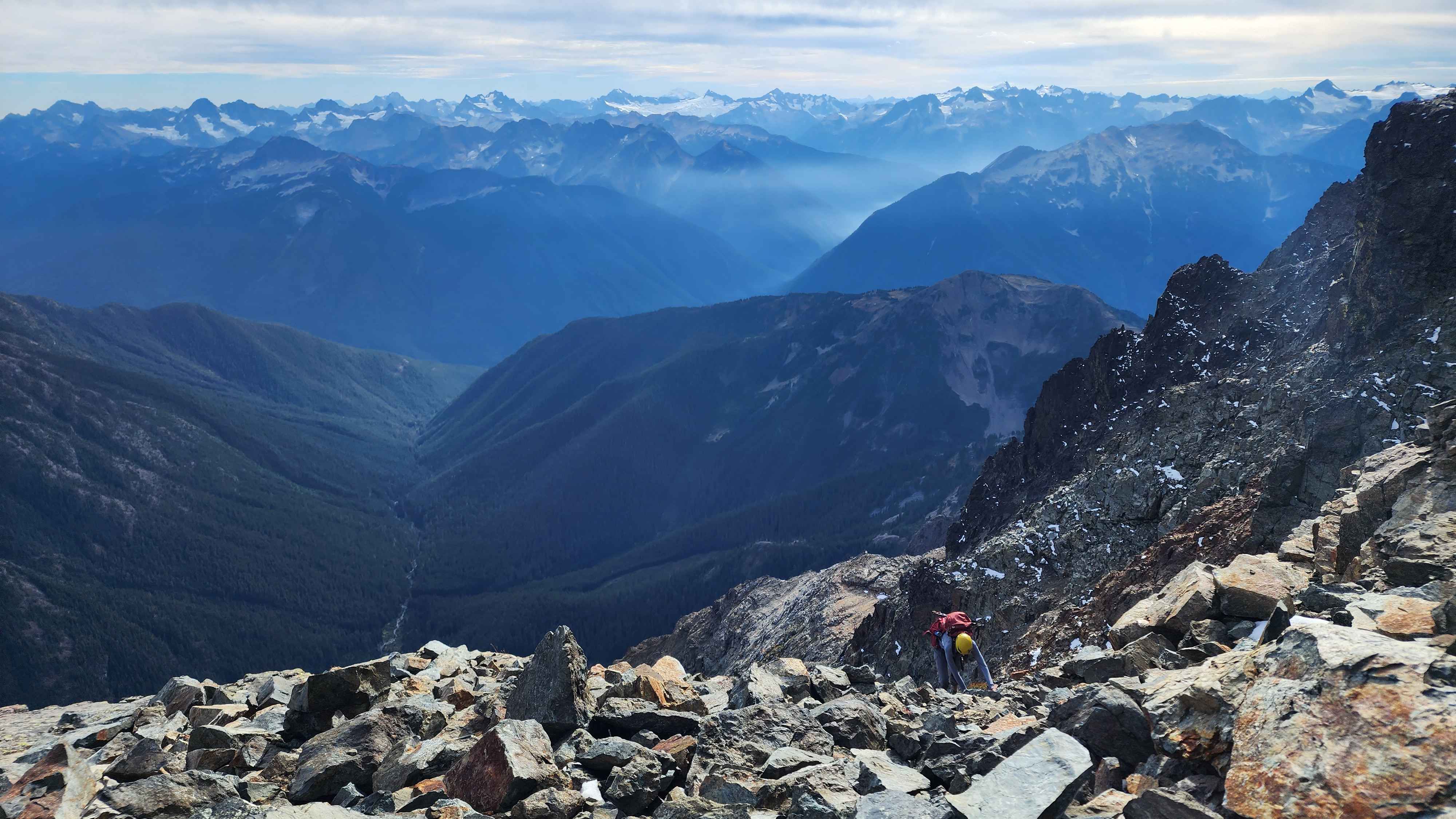
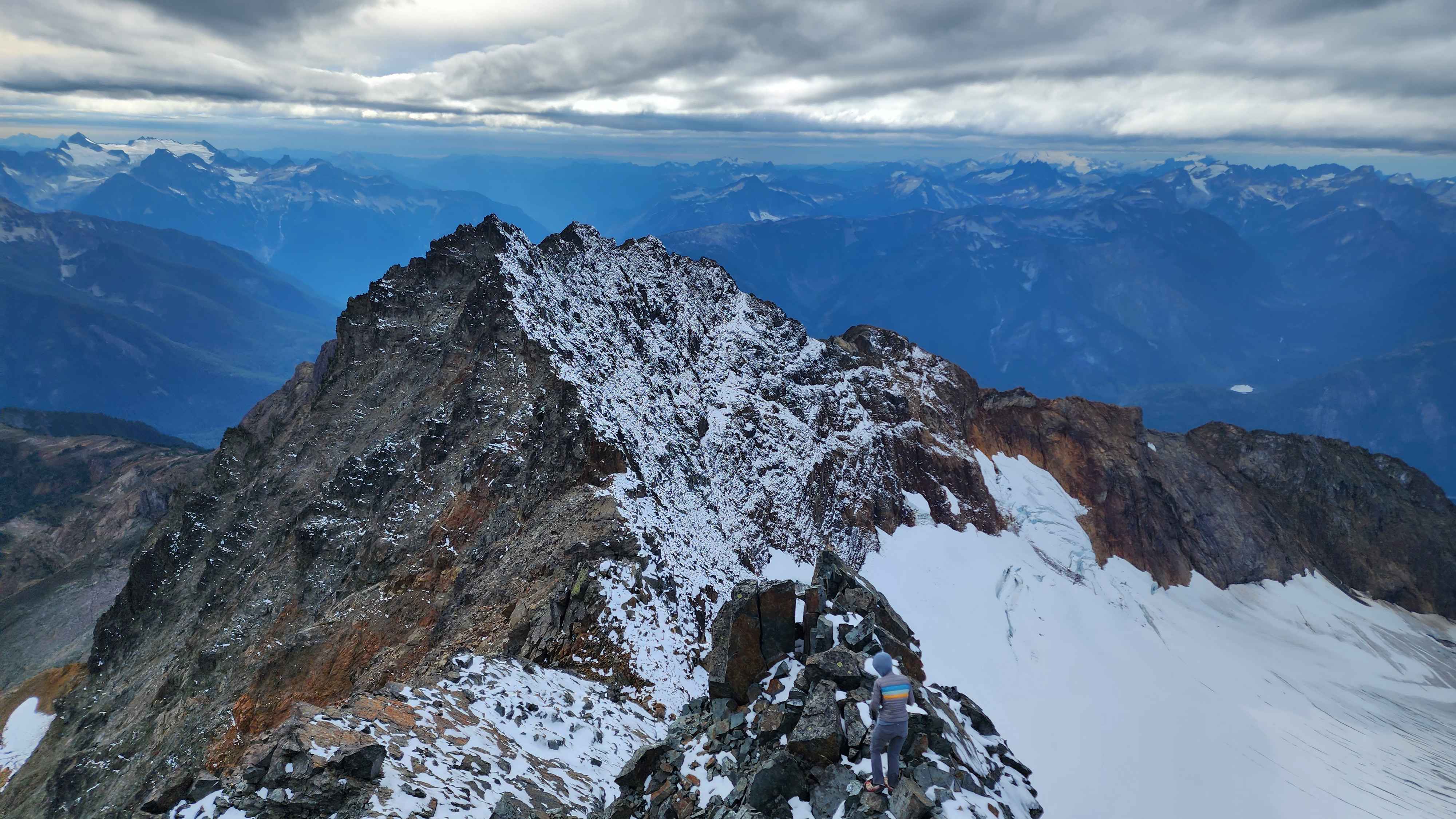
After making it to 8800’, we traversed east towards the summit.
Traversing after 8800'
We ran into an issue about 100 vertical feet before the summit; we couldn’t find any good route to get onto the ridge that led to the summit. We found two class 5 routes, but they were both a bit too difficult to do unroped. We eventually found a route at the north edge of the ridge. It was a single low class 5 move to get onto a 30-degree slope covered in snow. The move was super sketchy since the rock was pretty loose, and the drop off the north side of the mountain was massive. The slope was also bad since slipping on the snow would’ve sent us off the north side.
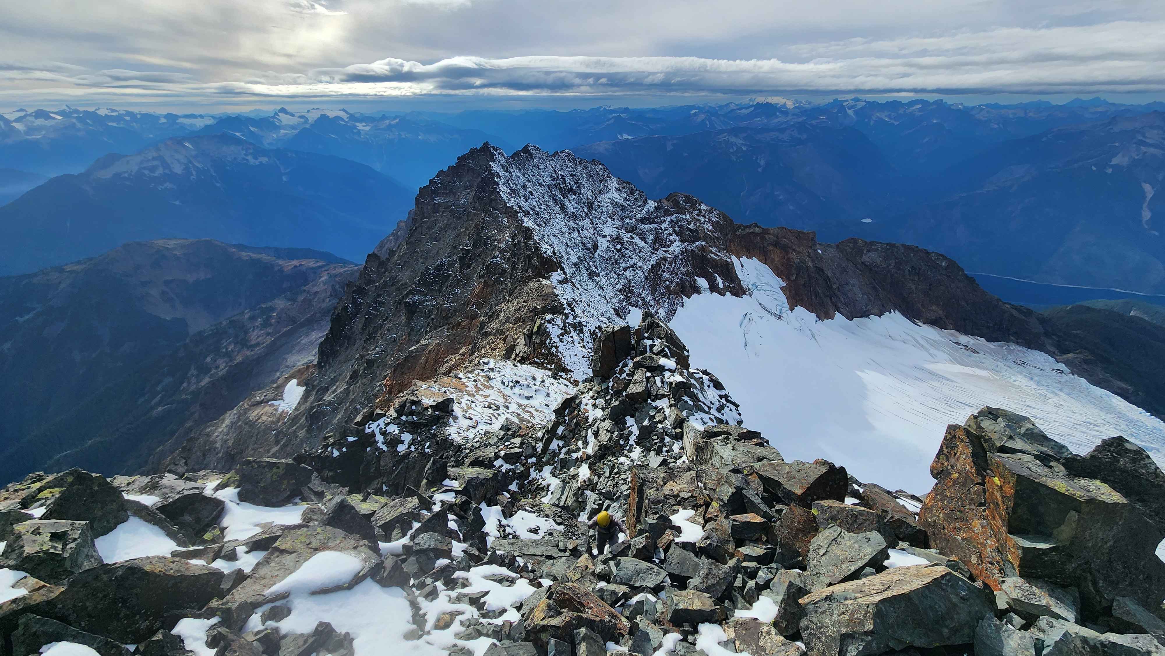
After the slope, walking the ridge was super easy. There was a small scramble to get on the summit block, but it was completely protected, a vast contrast to most of the scrambling on this route.
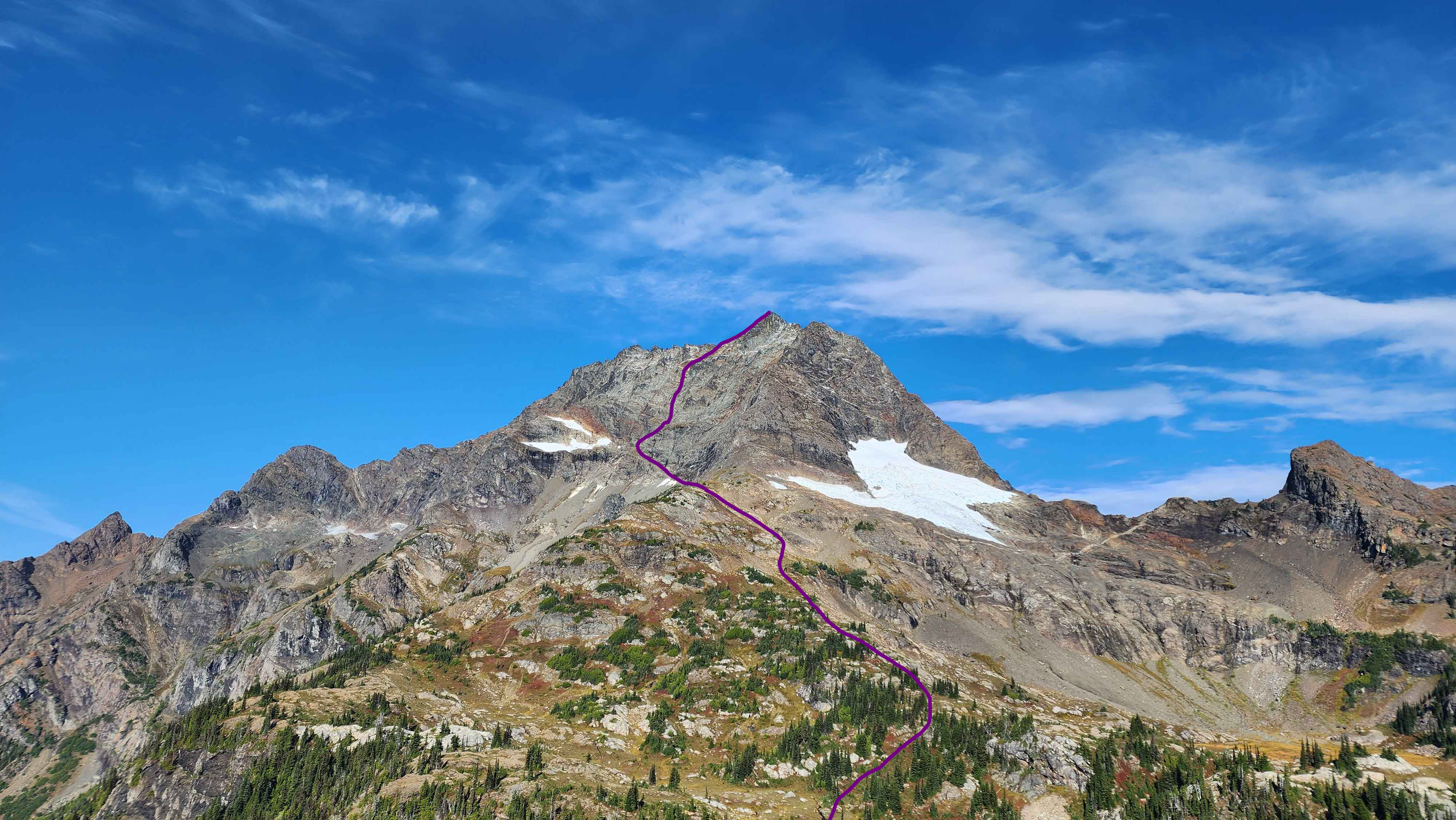
The general route up the south face of jack
The last scramble to get onto the summit
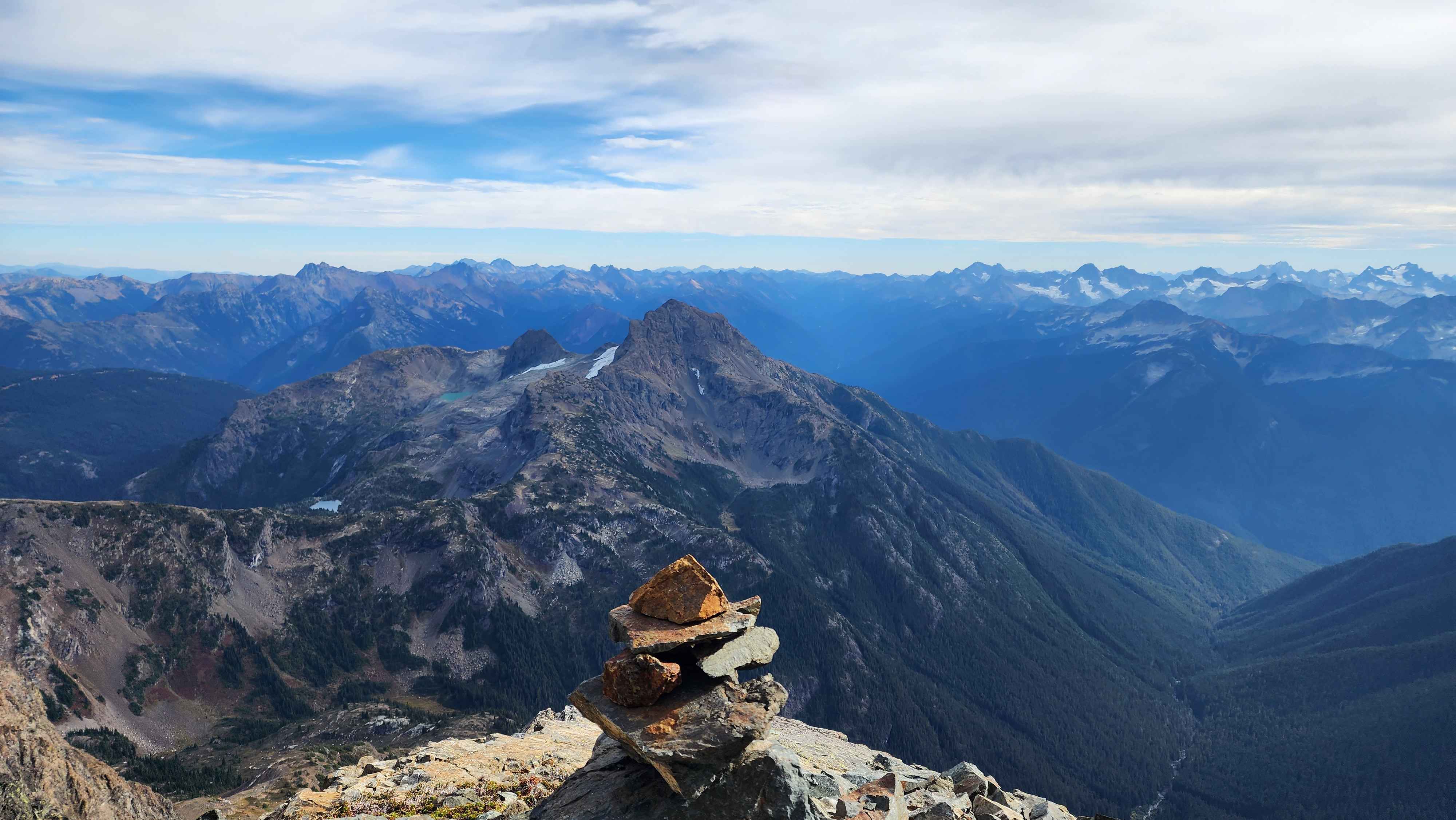
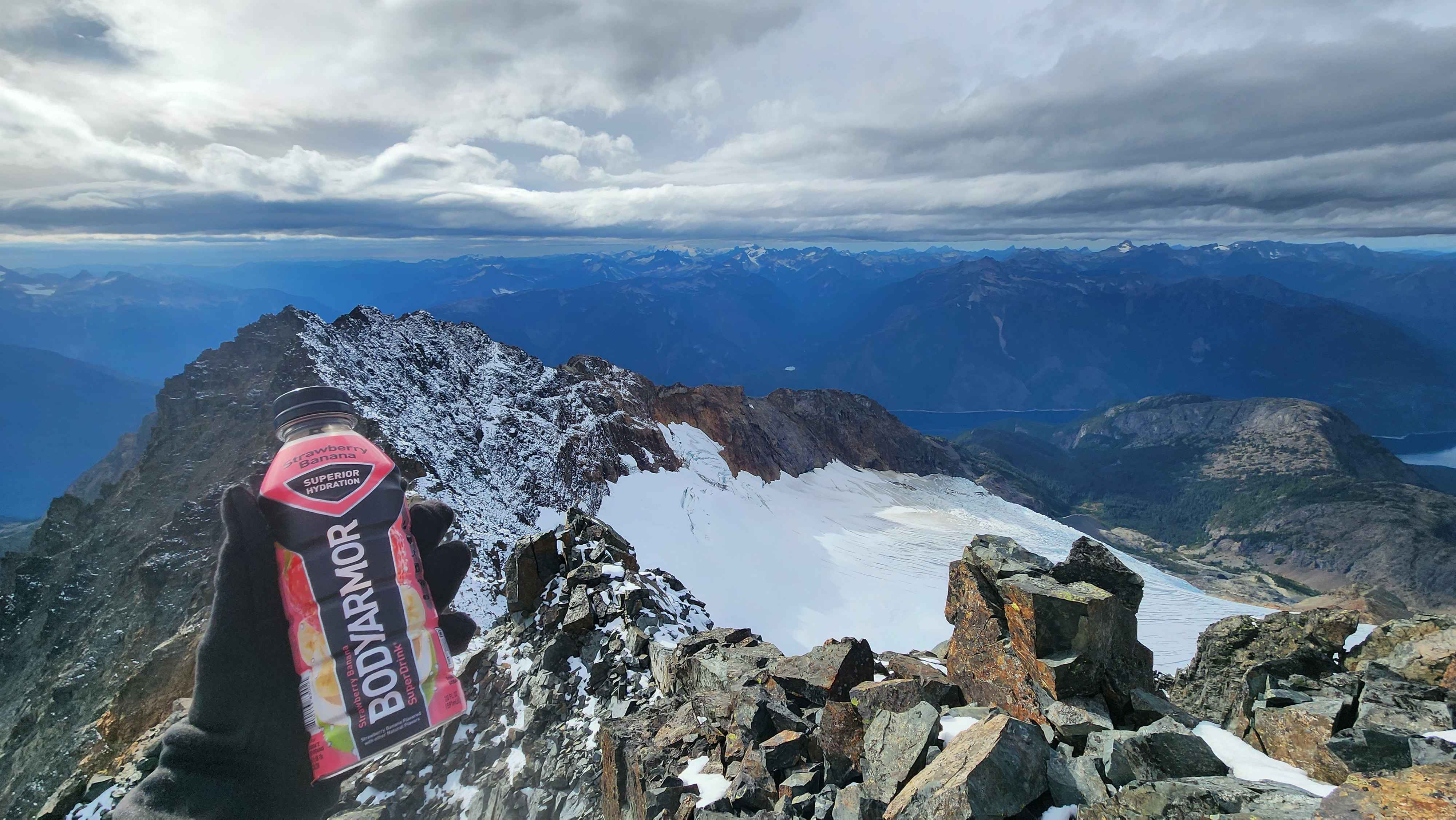
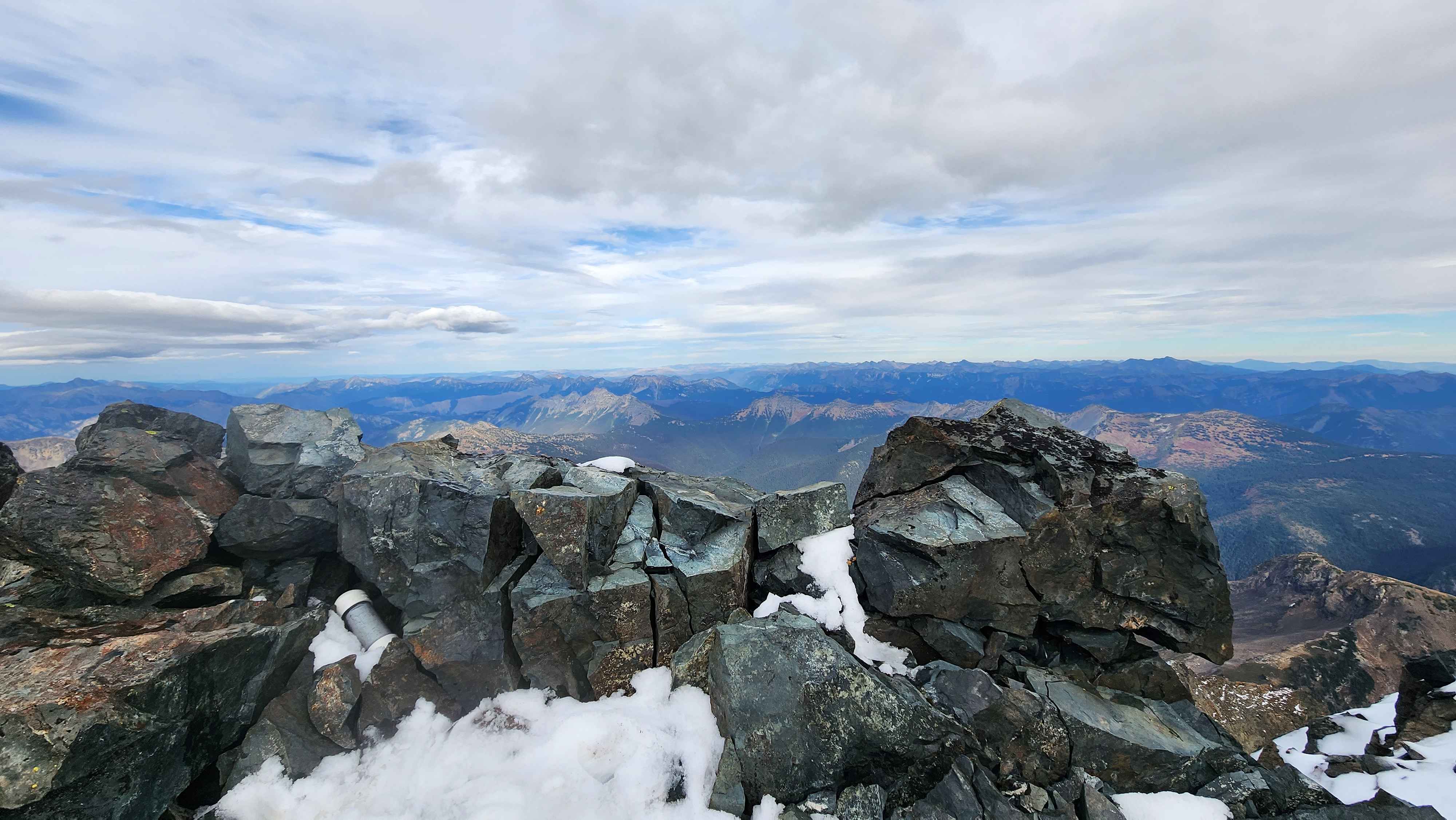
Sitting on the summit
The massive Nohokomeen Glacier below
The view at the summit
Heading down from the summit
The ridge with the snow slope
We couldn’t find the summit register since it was probably buried under the snow. We didn’t stay at the summit for long. The down climb wasn’t nearly as bad as we were expecting. We were pretty-well desensitized to the constant exposure at that point, despite most falls being lethal on the south face.
Climbing above a steep chute
Traversing across the scree
A small ledge
A long and exposed scramble section
Getting off the ledge above the glacier and back onto the scree field
Getting off the scree field was super relieving. We ended up in the dark once we started the climb back to the saddle by Jerry Lakes. We saw several headlamps on the slope coming down from Jerry Glacier. Once we got to camp, we saw two separate groups in different camping spots.
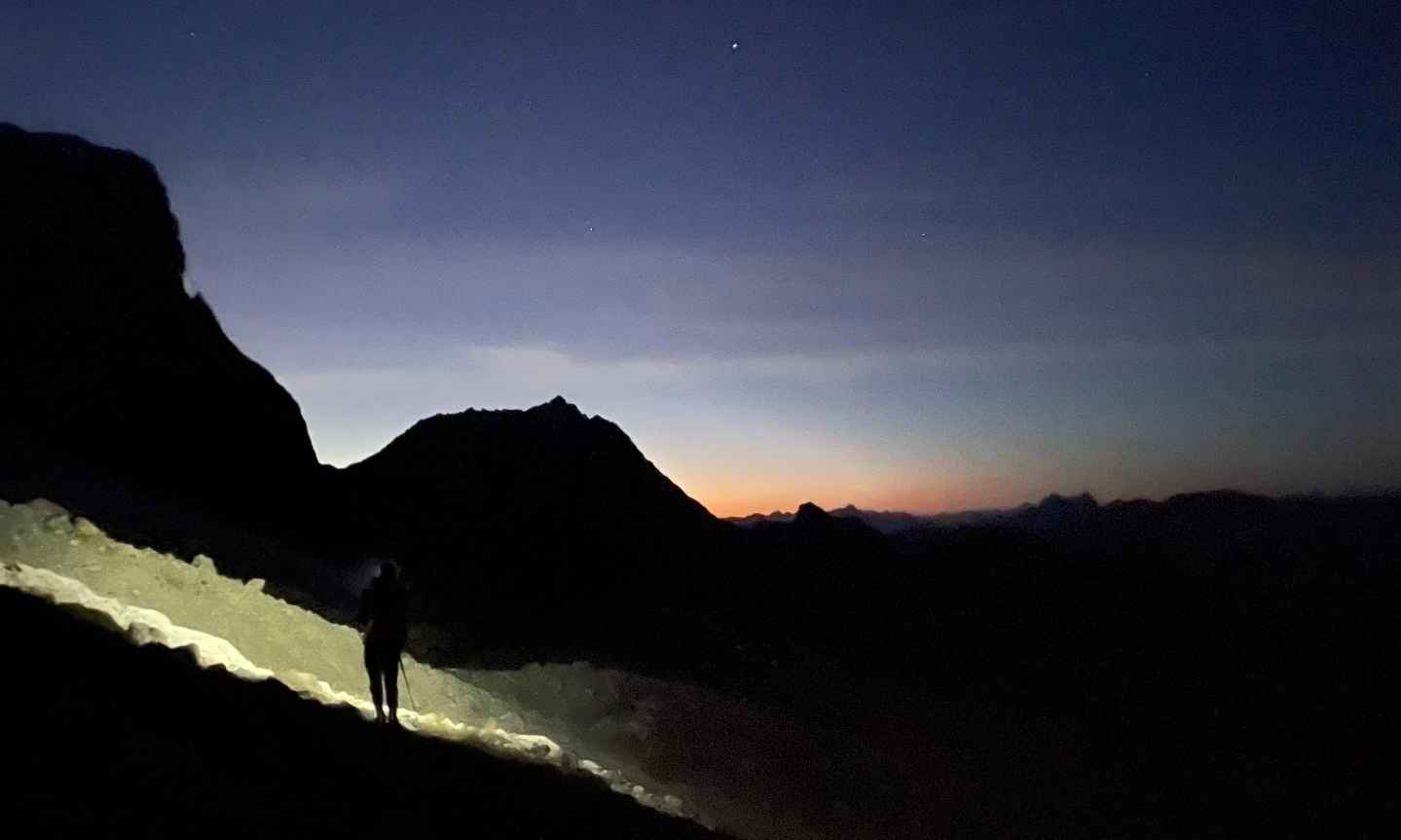
The sunset from the flat section after the scree field
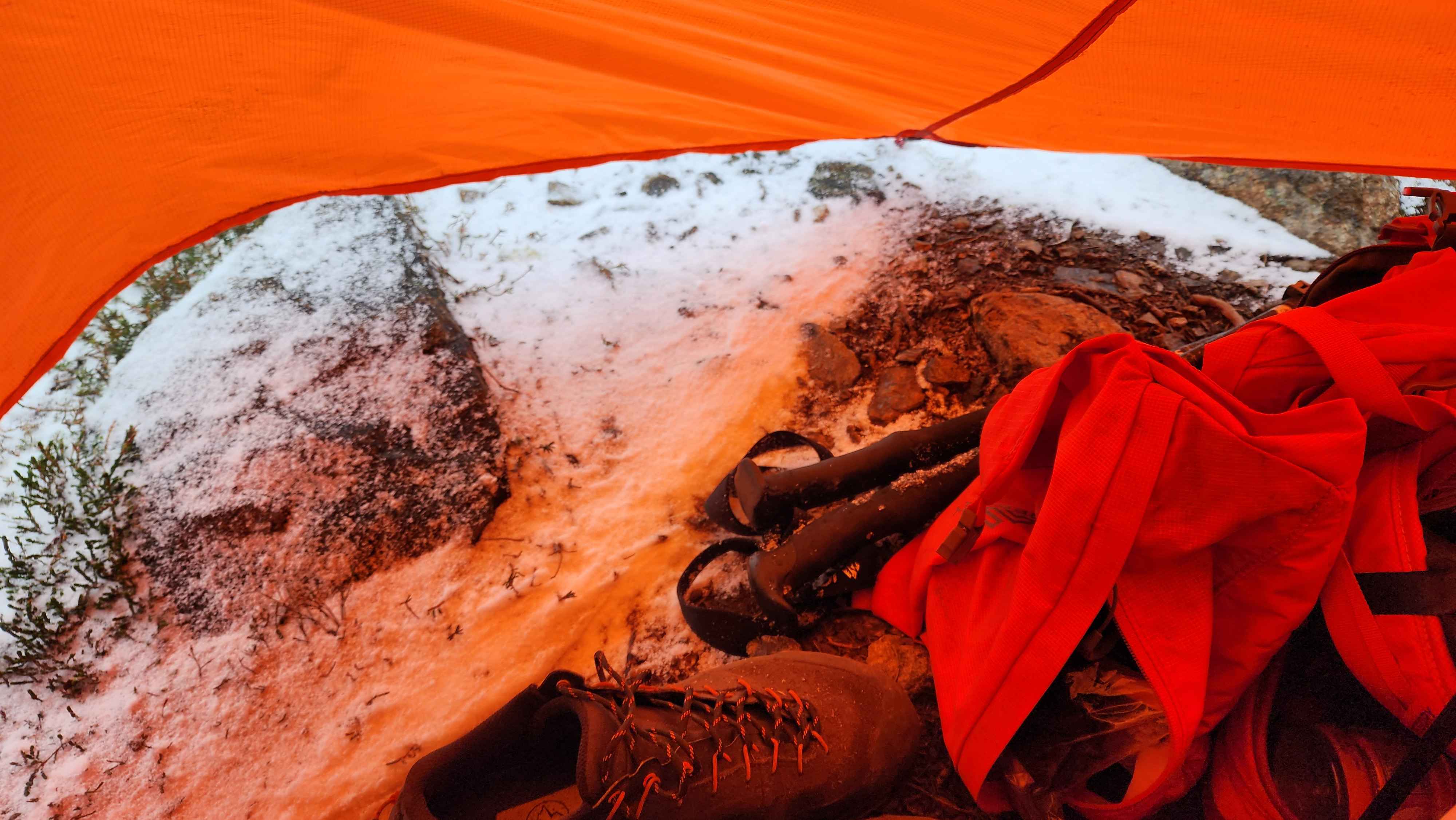
The next day we awoke to snow hitting the tent and high winds. The wind had been ripping all night. The forecast I pulled in on my Garmin said the snow was supposed to stop by 10, so we stayed in the tent for a while.
The snow outside our tent
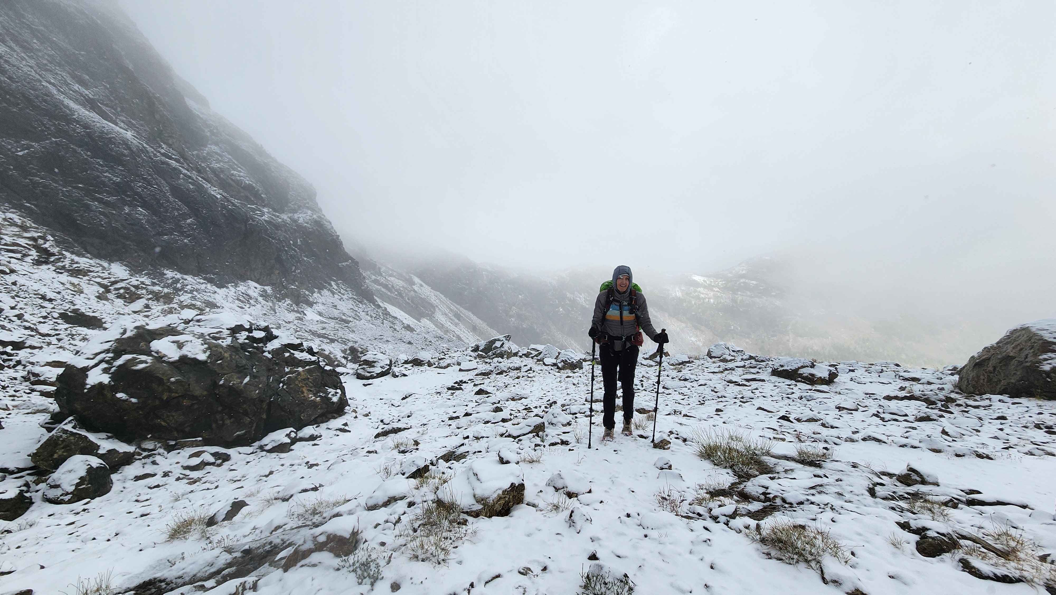
After waiting a while past 10, it was clear that the snow wasn’t stopping. We packed up our tent in the falling snow and started up to Jerry Glacier. The walk across the rock field below the glacier was a bit trickier with the fresh snow on it. By the time we got to the saddle at 7200’, the snow at Jerry Lakes was completely melted. We, however, were still in one and a half inches of snow, with it still coming down.
The snowstorm
On the south ridge above Jerry Lakes
Jerry Glacier covered in snow
The ice arch now covered in snow
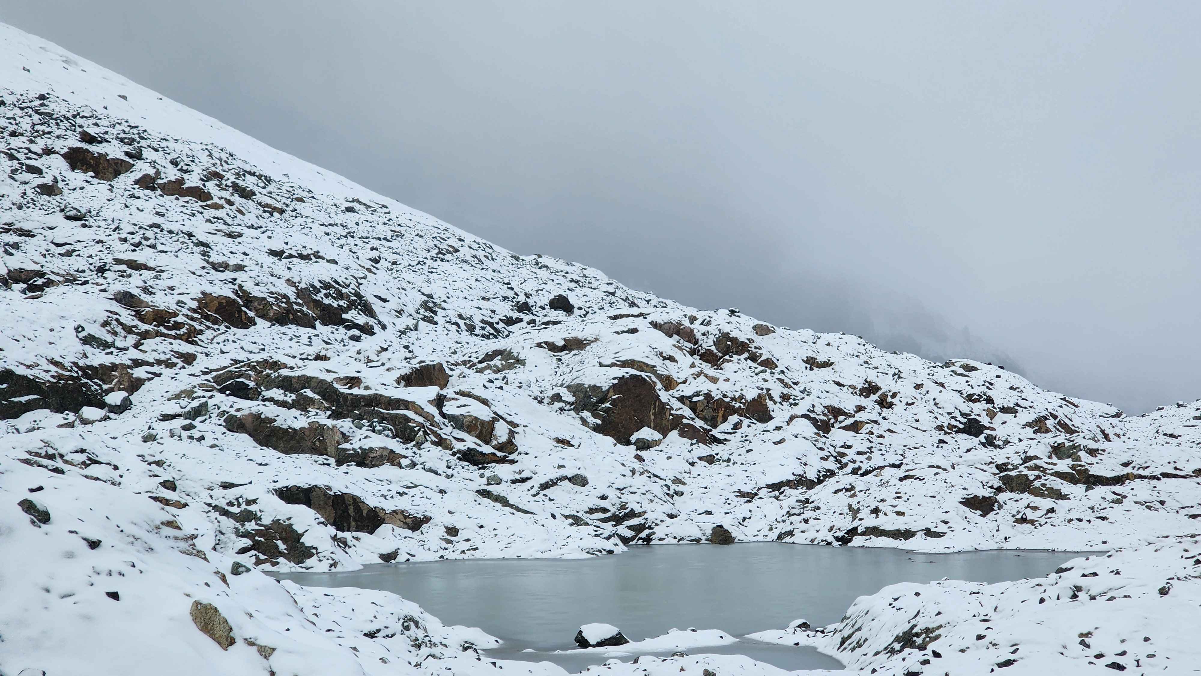
A frozen over tarn
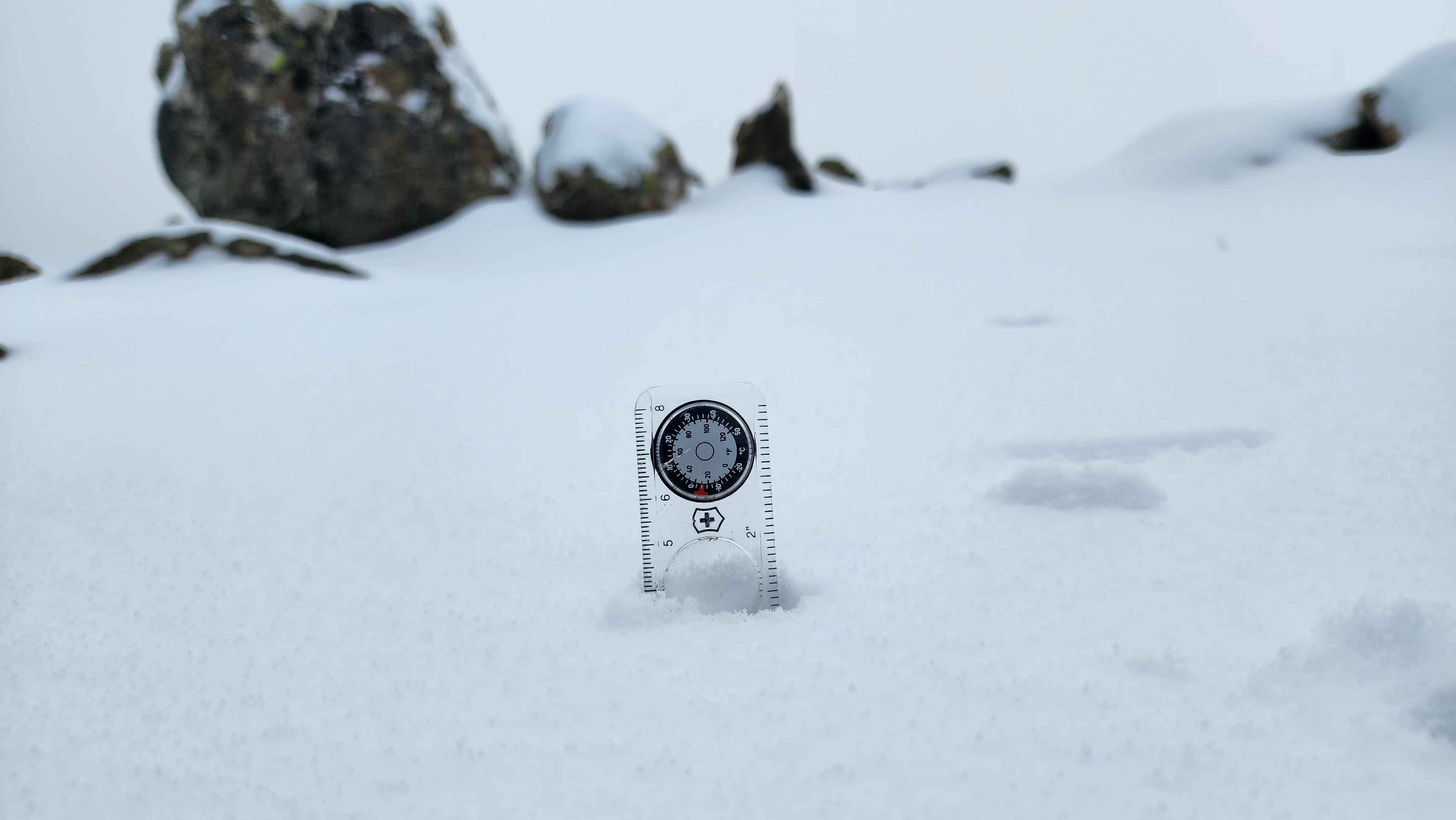
1.5" of new snow on the saddle at 7200' with more coming down
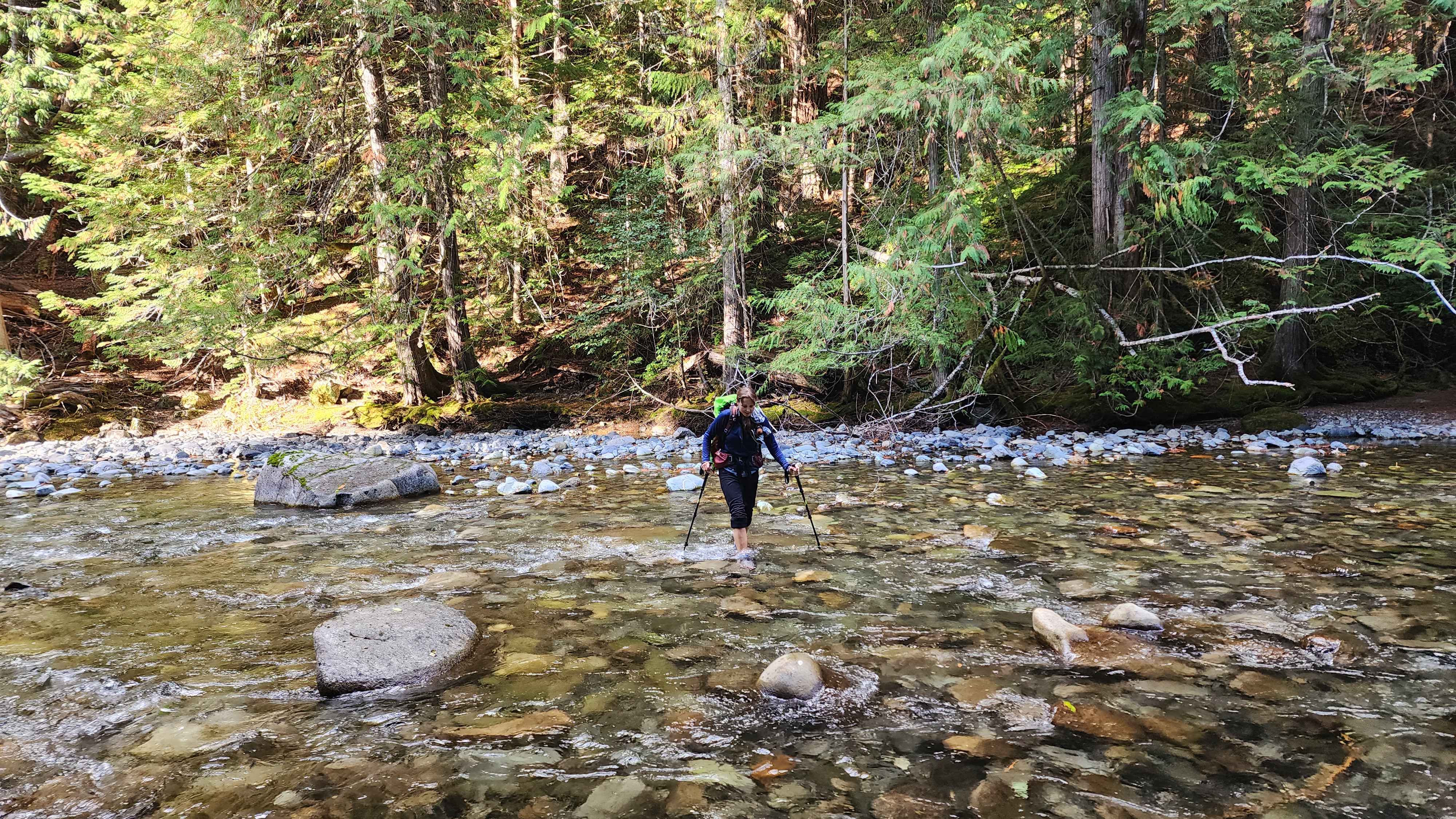
We decided to not summit Crater due to the snow, so we headed down the way we came up two days before. We quickly got below where the snow was accumulating. The snow was still falling all the way down to about 5600’. This time we waded through Canyon Creek instead of taking the log bridge. We finally returned to the car just after 16.