I got to the trailhead just after noon. The trailhead, like most mountains, isn’t actually for the mountain; the trailhead is for Blanca Lake, a surprisingly popular lake hike. The trailhead had over a dozen cars, which was a lot. However, I only saw one person on the trail to Kyes.
The approach to the ridge before Blanca Lake is very mundane with not a lot of ascent. After making it to the ridge, there was a small lake called Virgin Lake. After walking around the lake, I saw the turnoff to Kyes.

The first sighting of Kyes Peak

Virgin Lake

This small dead tree is right next to the turnoff (photo was taken on the way out)
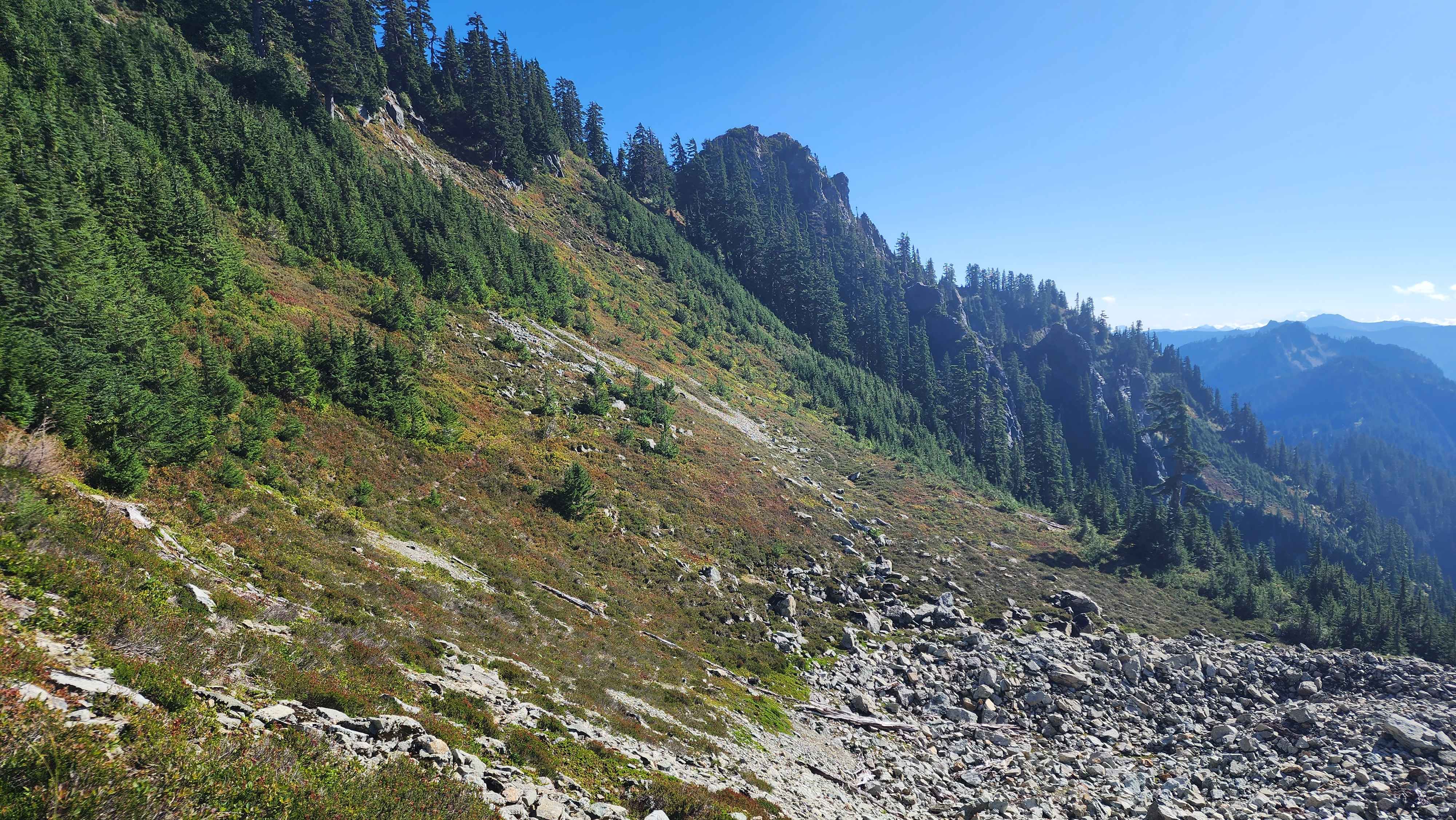
The turnoff wasn’t very defined and there was no set trail for the first section after the turnoff. This section was pretty bushwacky with some route finding, but it wasn’t bad. After the small grass patch, the trail became much more defined. Throughout the meadow parts, the trail was plainly visible. There were some steep dirt scramble sections through the trees.
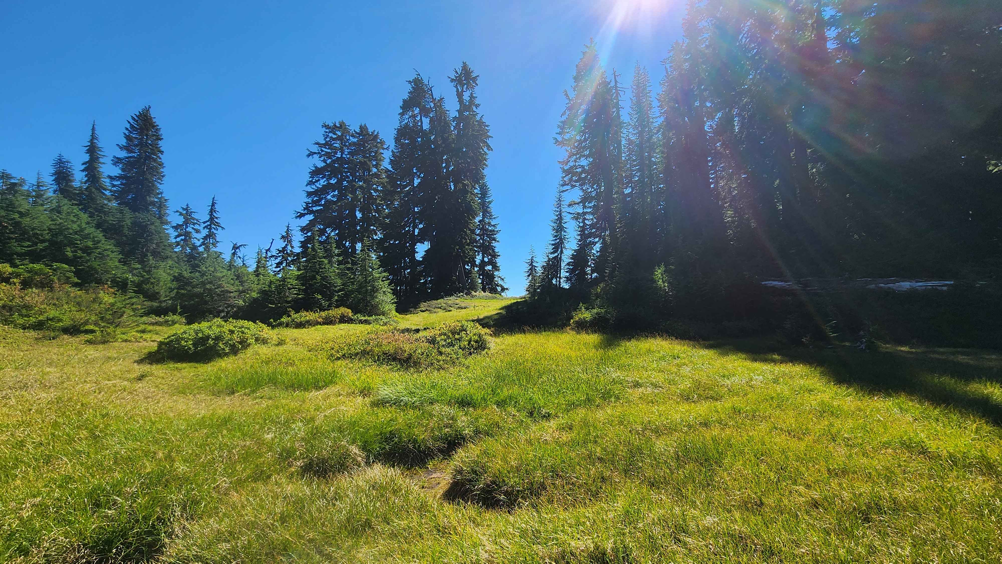
The grass field
A section of the trail through the meadows
Part of the dirt/rock scramble bushwack

Columbia Peak towering above Blanca Lake
Eventually I made it to the flatter section at 5400’. This area had some camping spots with a nice clear view to the east. Right after this nice part, the trail went through a burnt section of forest, which was miserable to walk through.
The nice trail across the flat section at 5400'

The end of the flat section with Glacier Peak in the background; the burnt section is just ahead
The trail then went west around point 5845. This no doubt was the worst part of the trail. The trail lost a lot of elevation here, and on top of that the trail barely exists here. There were lots of somewhat trails going all over the place, but they always faded in the trees. The bushwack through the trees was elementary bushwacking, but I was solo and ended up having to hike out in the pitch black through this section. I also crossed two rock fields during this part, one was much bigger than the other. They weren’t too bad to side hill on.

Blanca Lake from above
The large rock field and the grass hill I came down from
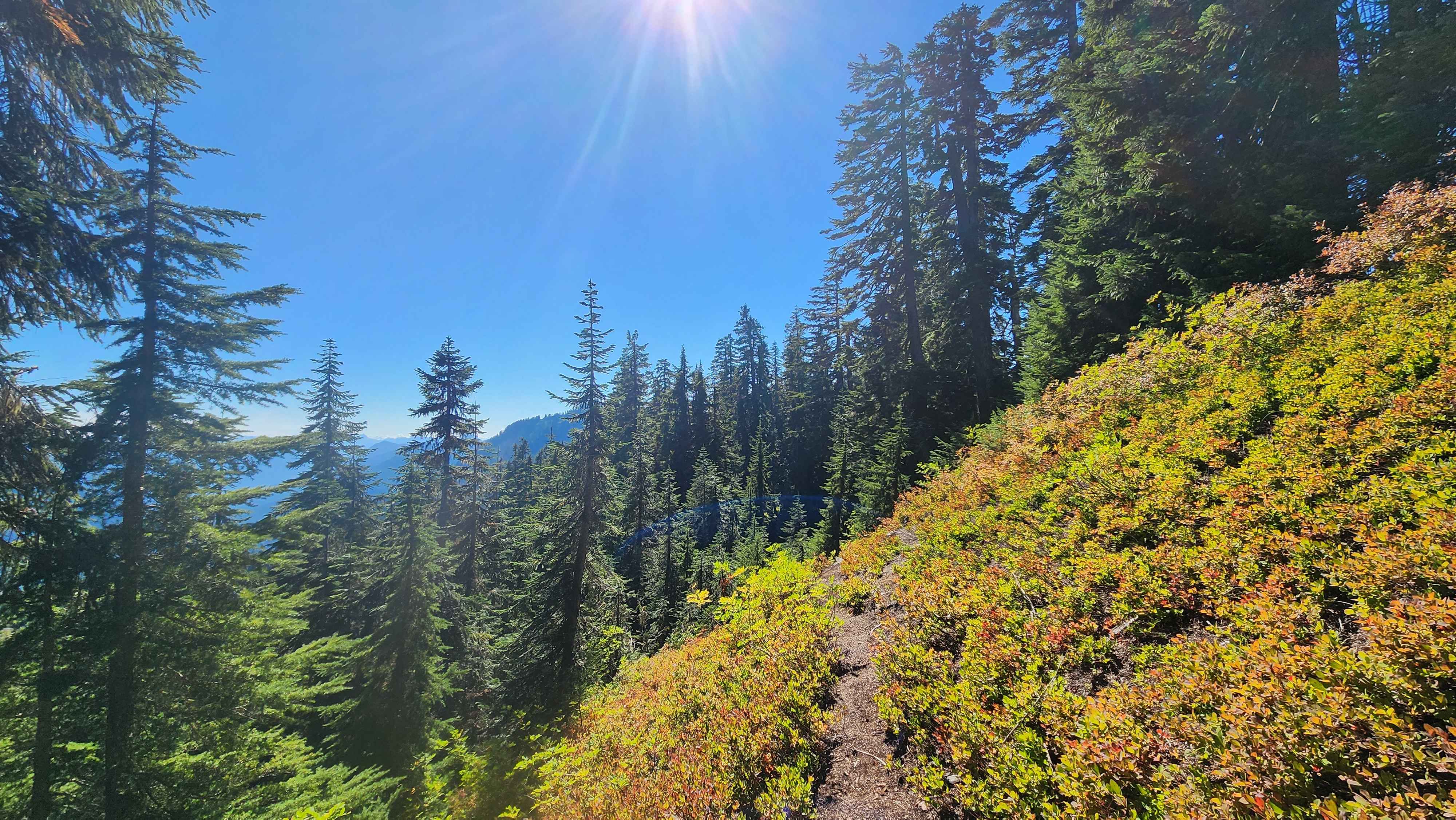
A meadow section near the ridge after point 5845 were the trail appeared after a long absence
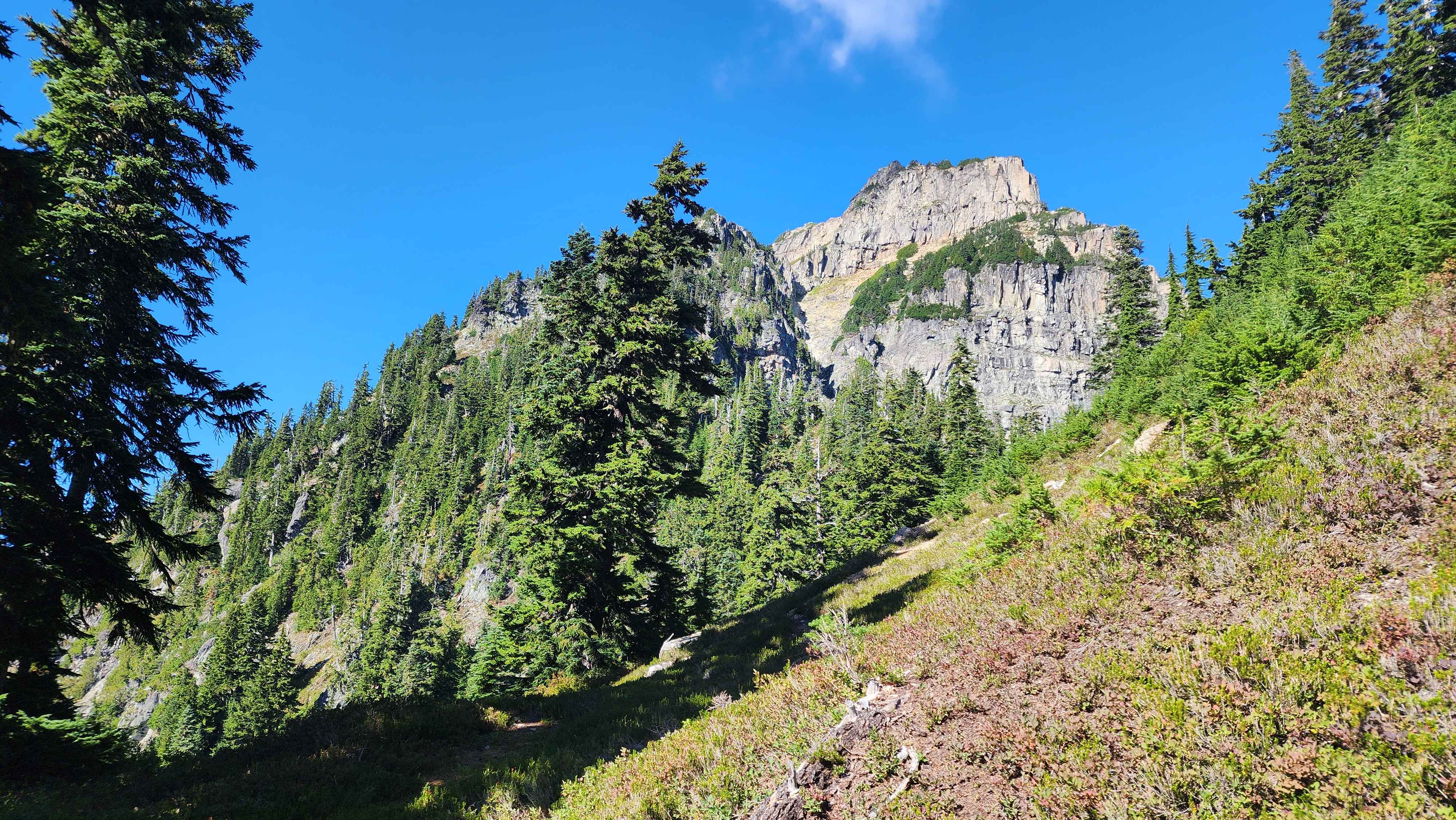
Eventually the trail appeared again just before it went back to the ridge after point 5845. The trail continued up to just after 6000’. The trail in this section was actually very easy to follow for the most part.
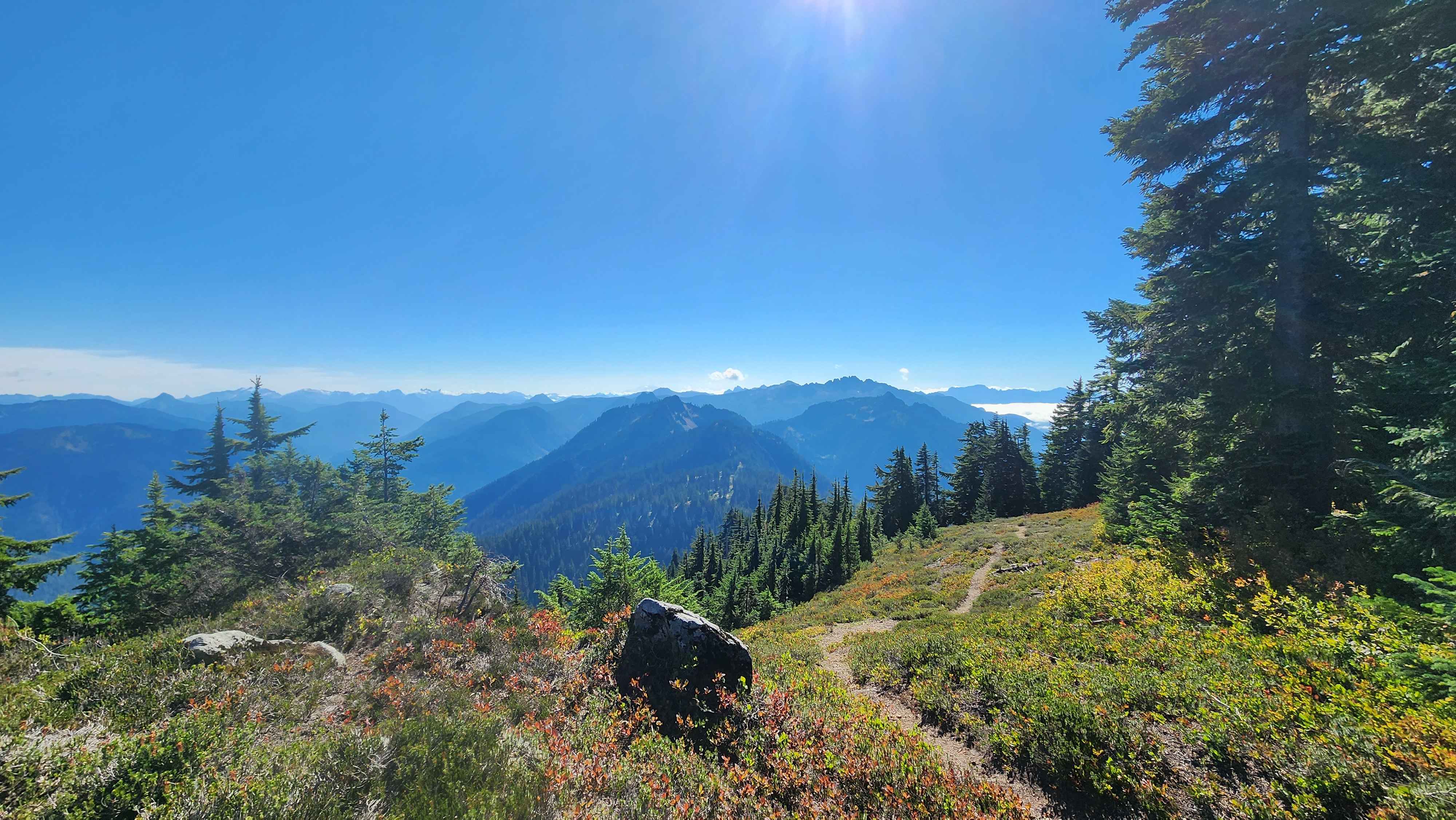
A view point along this trail section

One of the many meadow sections between the trees the trail went up
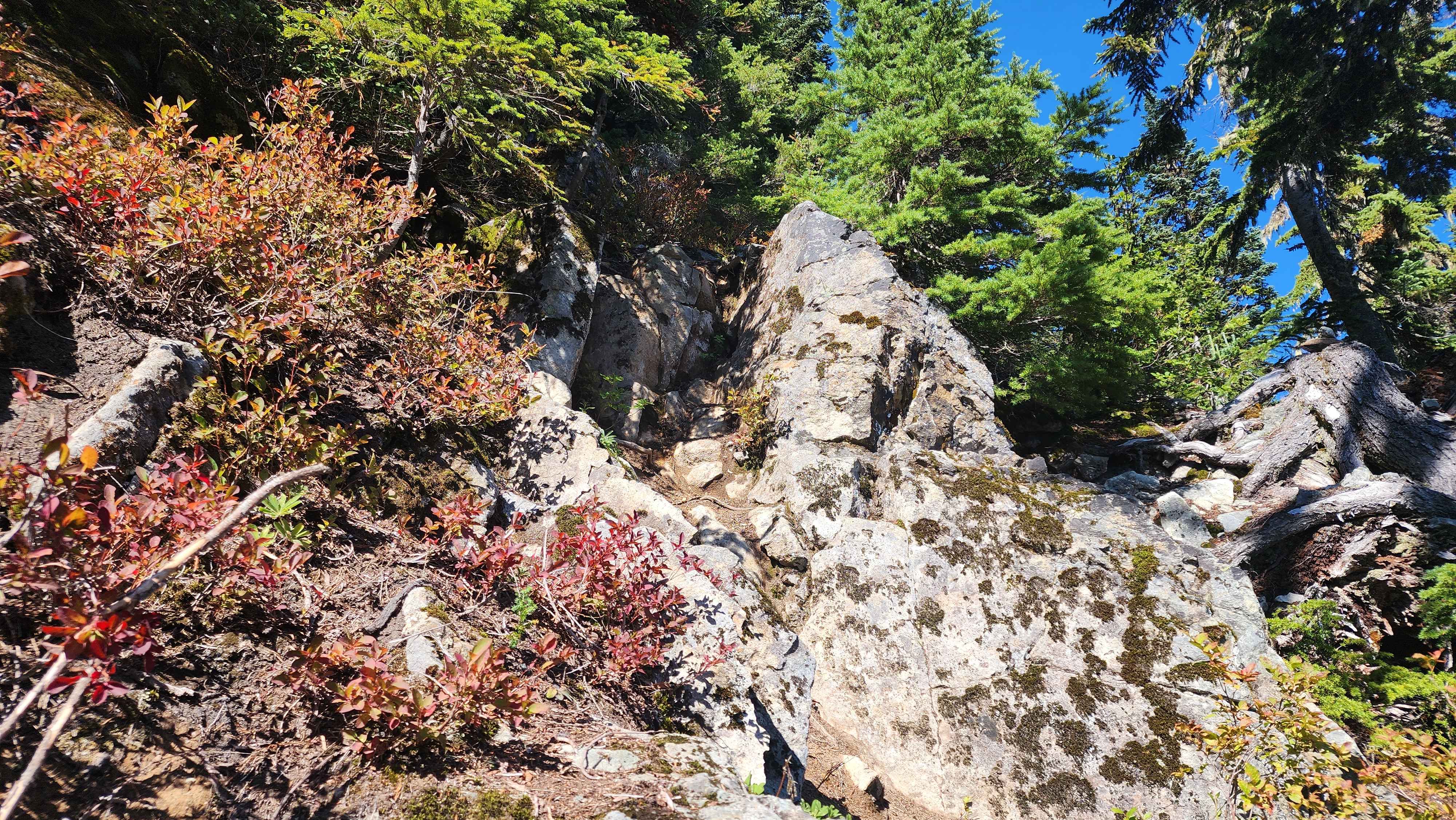
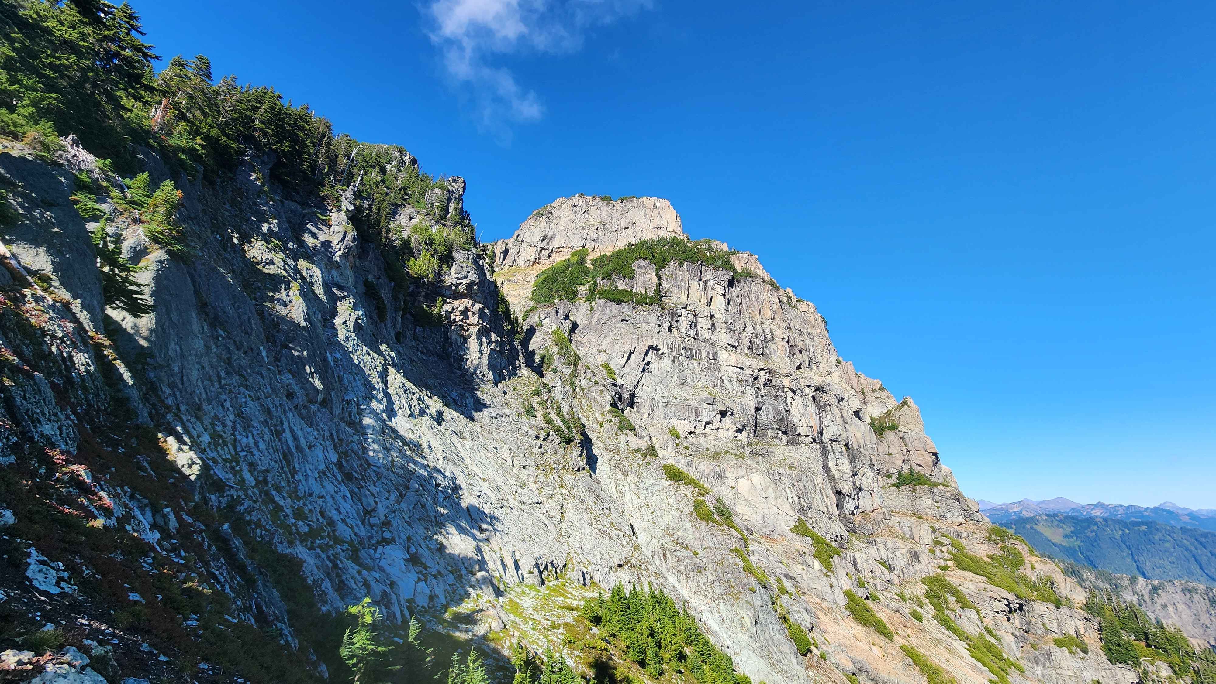
The rocks on the ridge just before the rock field at 6000'

View of the false summit of Kyes Peak from an outcrop in the trees
At 6000’, the trail ended at a massive rock field. Traversing this rock field was way better than the bushwack to get up. There were several tarns going up to the ridge at 6600’. There was also a big tarn along the route, which was the best place to filter water.
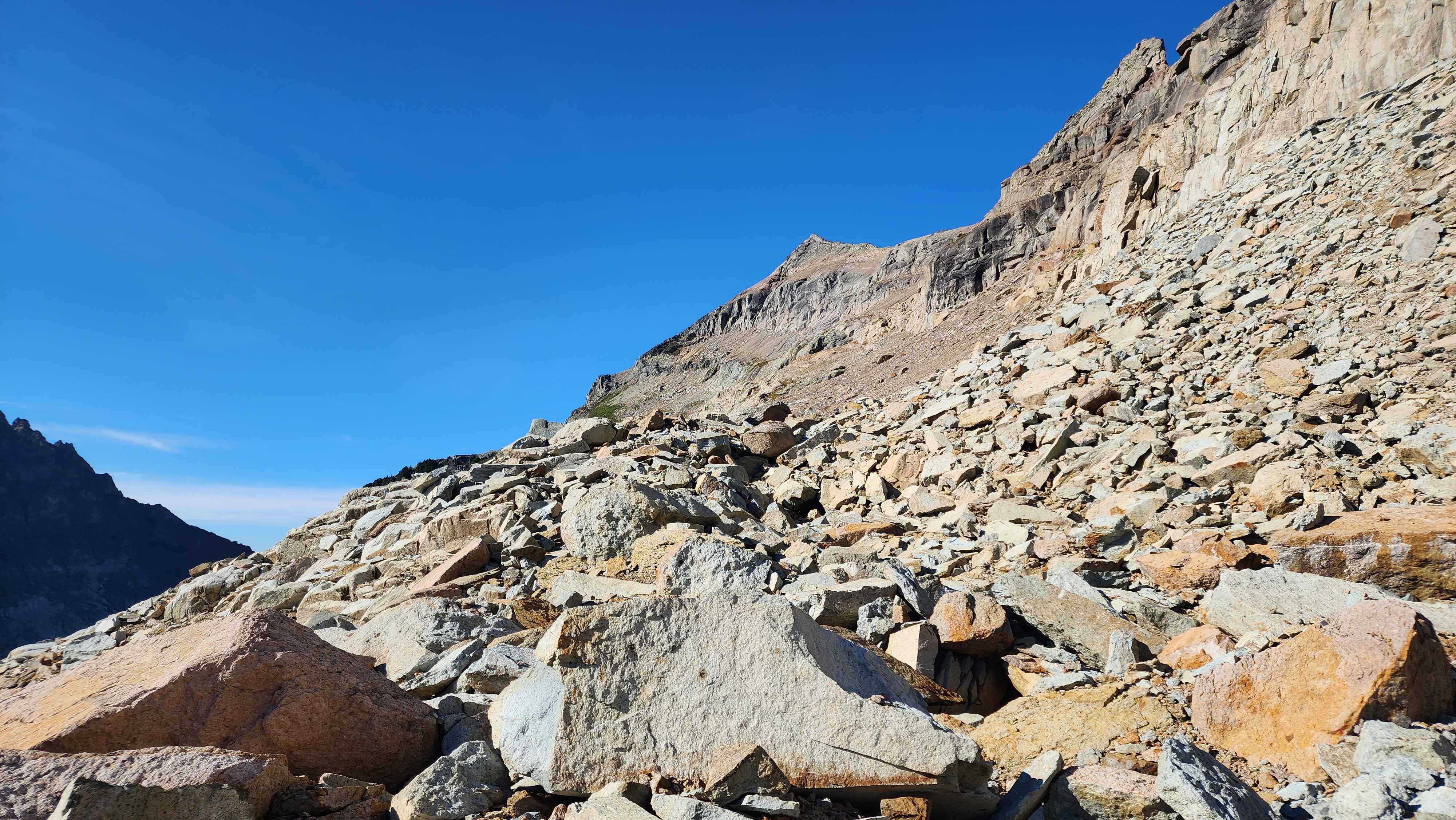
The start of the rock field
Making my way across the rock field

The largest tarn with Columbia Peak in the background

Making my way to the ridge above the largest tarn
There was a bit of scrambling and loose rock to get to the ridge. The route then went up some loose rock faces and around an exposed ledge. The loose rock faces were miserable to climb. The loose rock pebbles were on bad rock in the first place, so it made a really annoying combination. After the ledge, there was a bit more scree rock scrambling. Eventually, the route went up a not-so miserable scramble section.
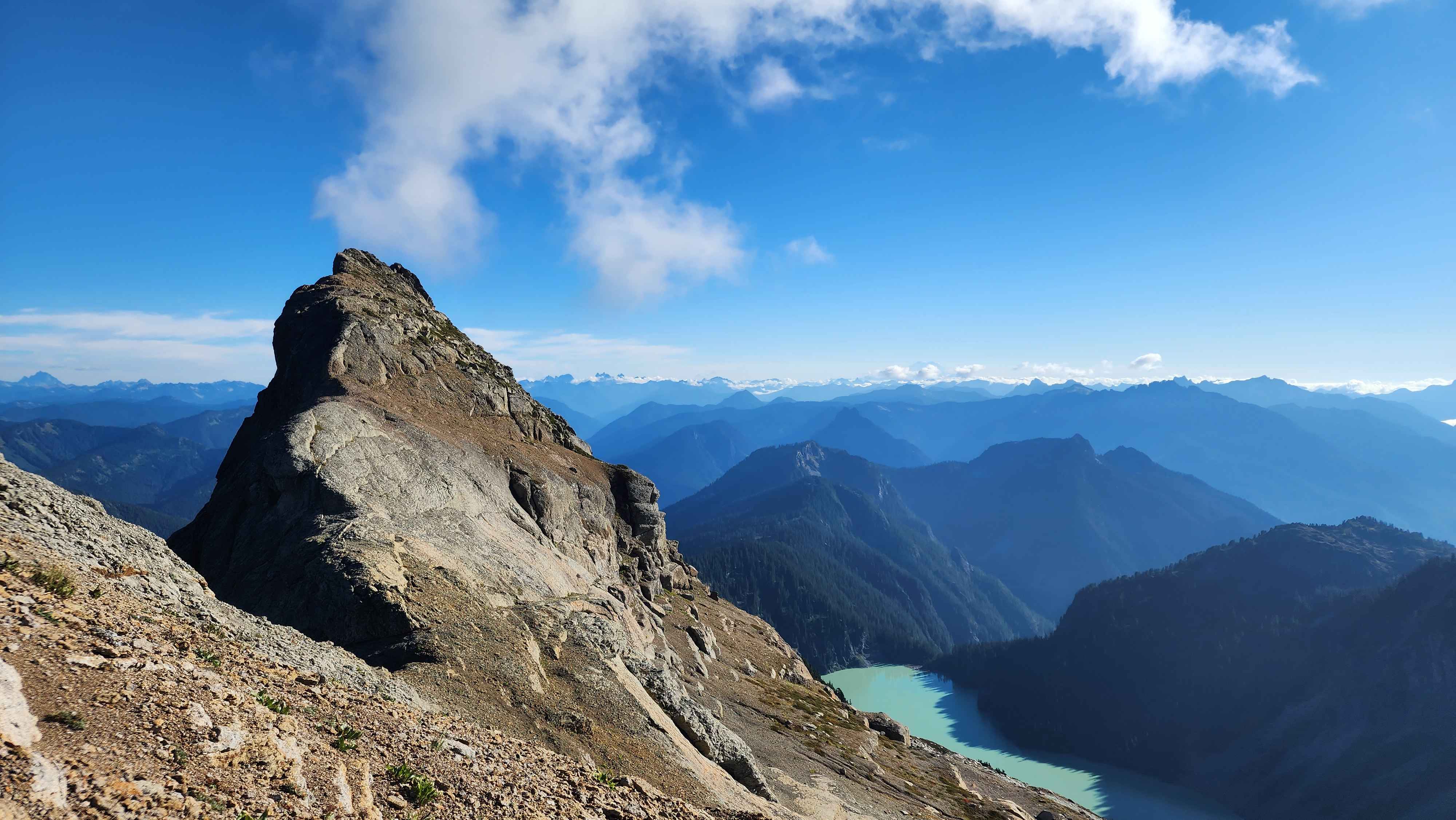
On the ridge with the subpeak not far away
The ledge goes to the right around this wall

The view of the subpeak just after the ledge

More scree rock scrambling after the ledge
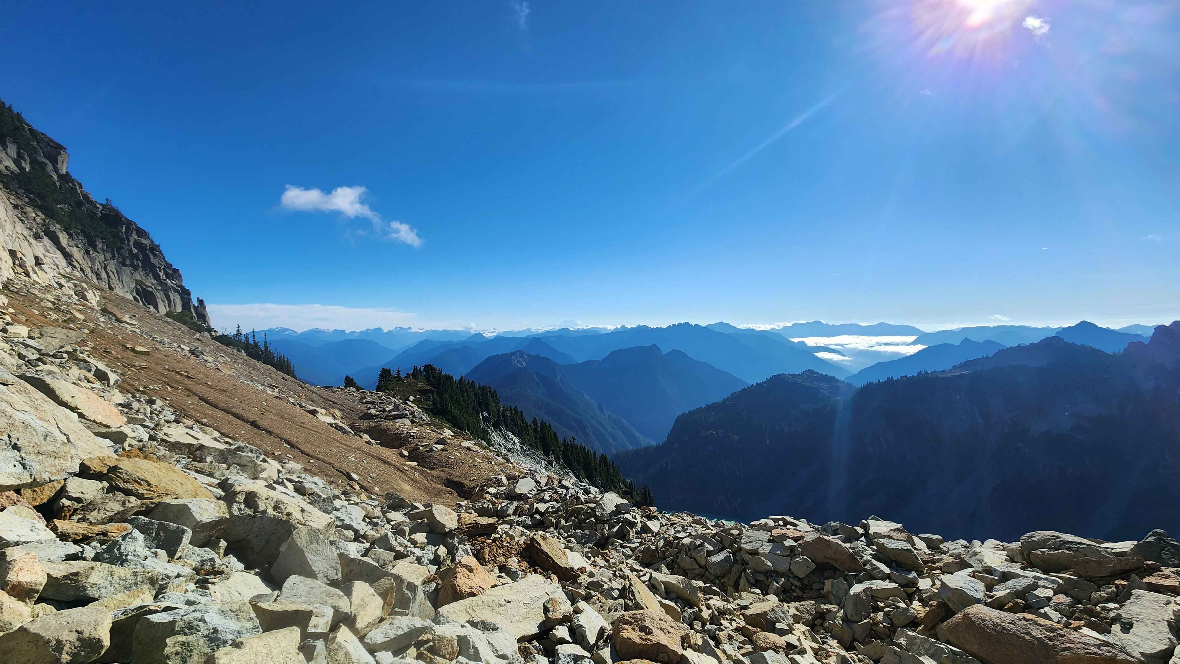
After that scramble, there was no more scrambling until the summit block. The route went across a flat section with nice rock. There was not much scree on this section, which made it nice to walk on.

A cool snow bridge a bit before the flat section

The snowfield with the bridge and Kyes Peak in the background

A cool rock overhang next to the snowfield

The flat rock section leading to the summit
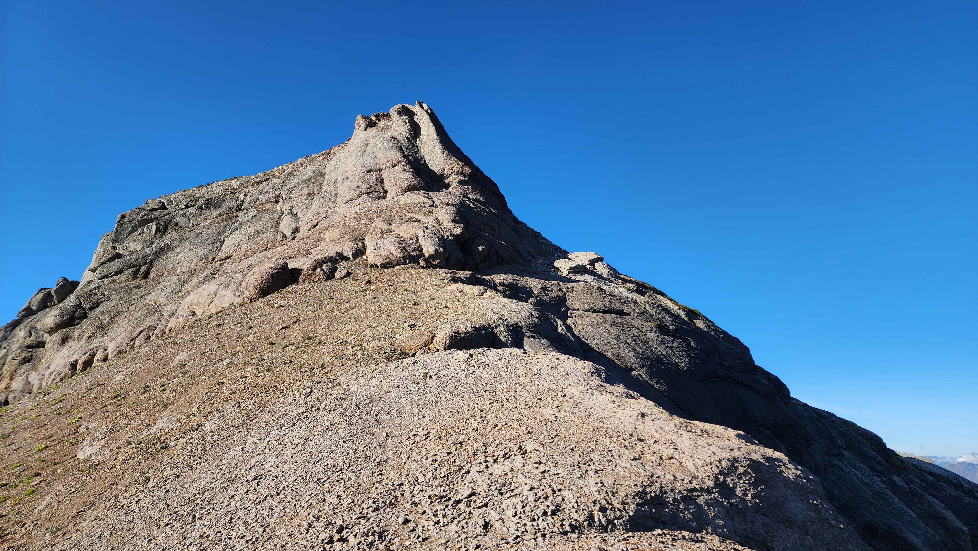
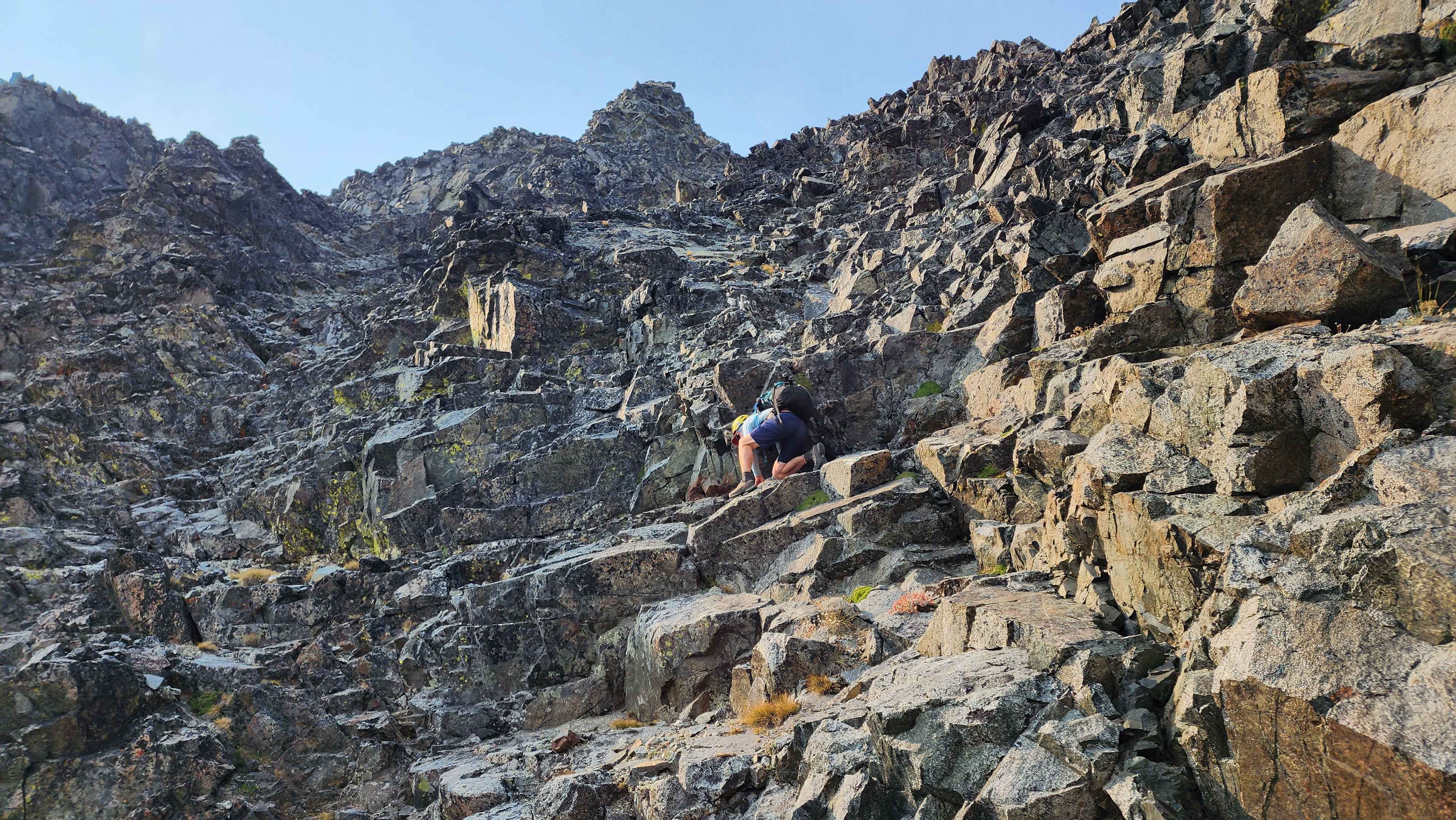
After getting to the base of the summit block, I dropped my poles, so I’d have two hands. The scramble was fine until the slab that makes up the summit block. This section was the chossiest rock I’d ever climbed on. There was lots of scree all across the rock, the rock that was falling apart and super chossy itself. On the slab there was also some decent exposure, so if I fell I would’ve been done for. I’d never gone this slow while scrambling. My feet never felt like they had a good grip on the rock. Small holds felt like they were going to break off, which wasn’t convenient since small holds were almost all there was. The slab wasn’t particularly steep, but the bad rock made it the scariest scramble I’d ever done. You really have to climb this summit block to see just how bad it is.

The route up the summit block
Just below the summit, the route goes down the rock to the left

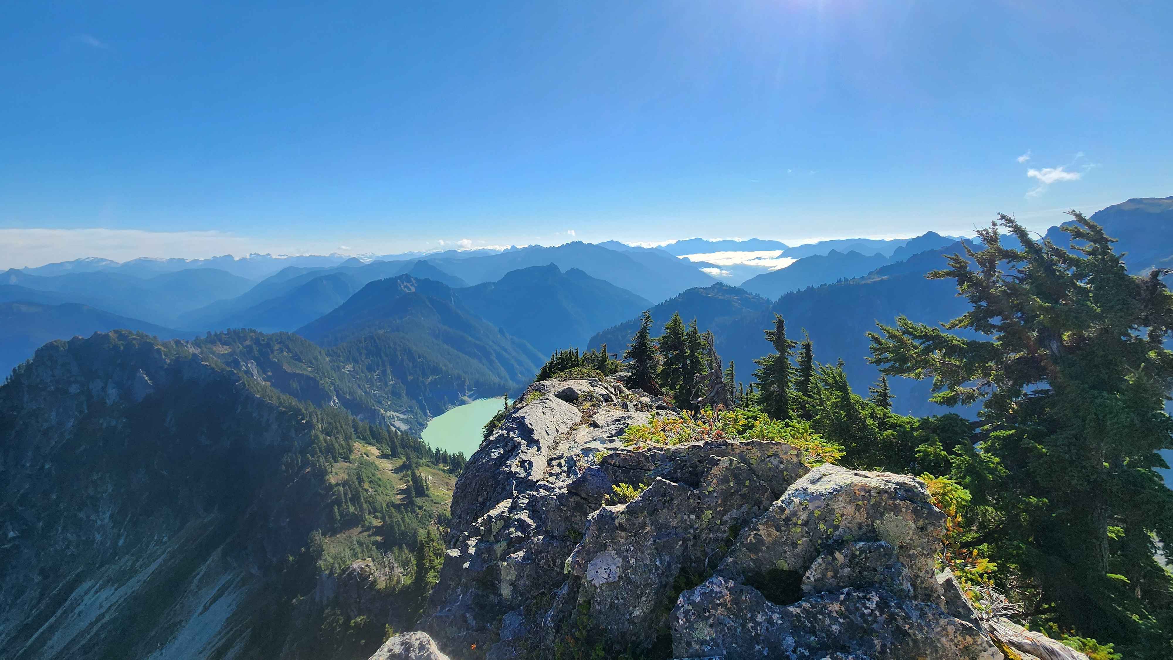
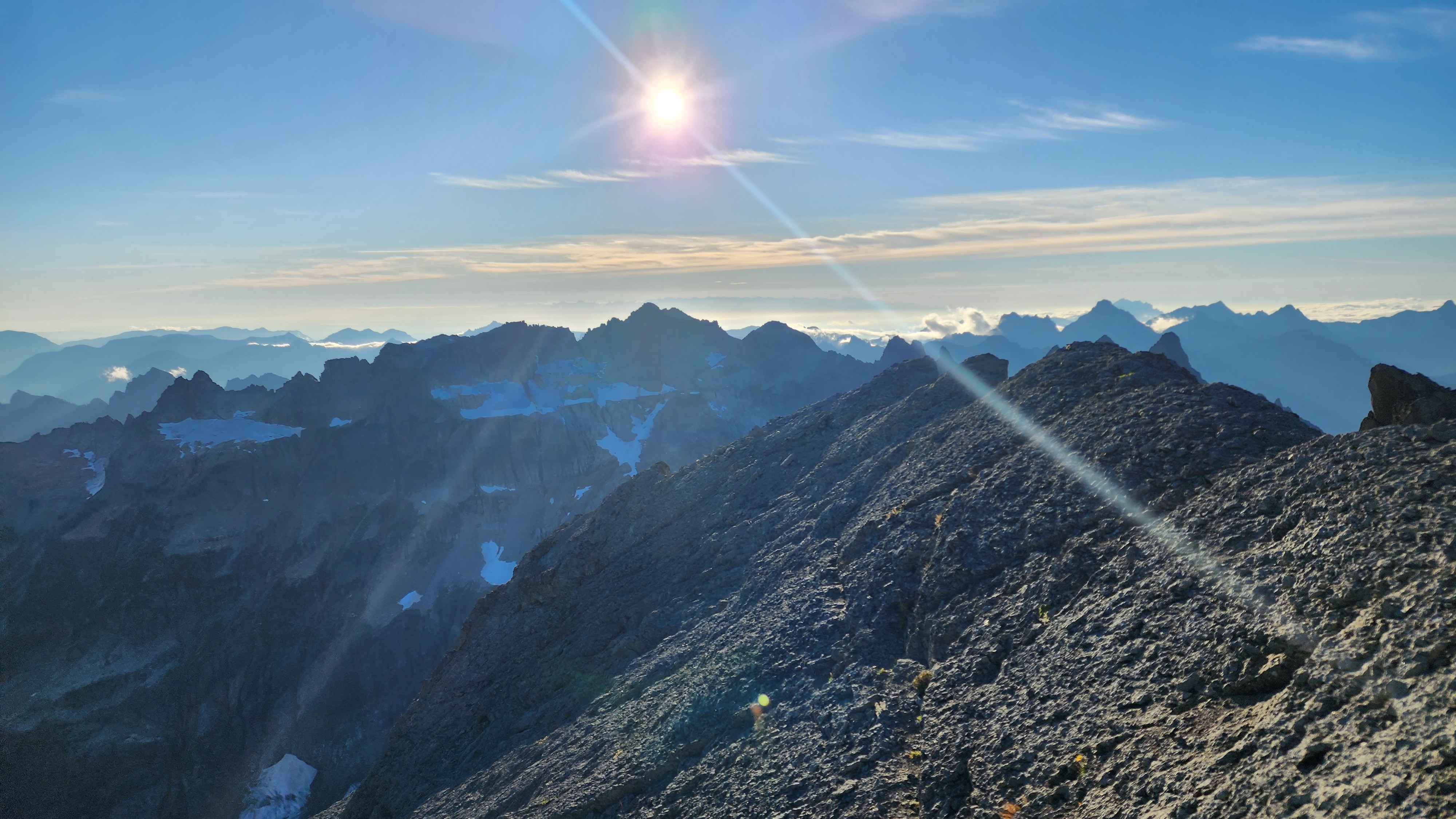
The view towards Columbia Peak, which looks taller despite being shorter
View of Sloan Peak from the summit. Monte Cristo Peak is to the left and behind it in the distance is Baker

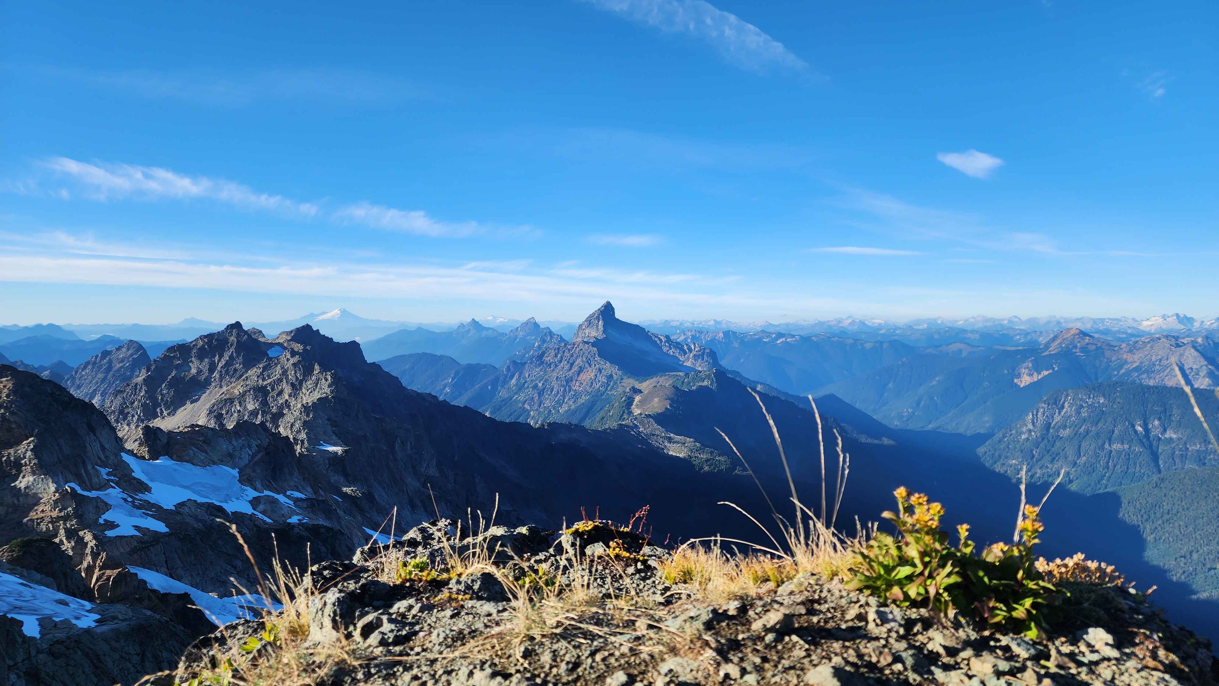
Towering over the mountains to the southeast

The several hundred foot drop off the north side of the peak
Mt Fernow, which is well known to be a choss pile, doesn’t have nearly this bad of loose rock. The class 4 scramble to the summit and the scree slab crossing are both less terrifying than this. I’ve never climbed anything this bad, and I hope to never climb anything this bad again.
The final class 4 scramble to
Mt Fernow that was less chossy than Kyes
On the way down off the summit block, I found a slightly better route that allowed me to walk in a small cut in the rock. This way was much better, but it still involved scooting down the scree rock. Later when I was going down off the ridge, I was going down a slab face-first. The scree on the slab made me slip, and I slid down the slab and got shot out onto the rock at the bottom. The scree on this climb was worse than anywhere else I’d been.
The furthest I made it down before sunset was 6000’, just before going back into the trees. I ended up having to walk out in the dark for about 3 hours. I’d highly recommend getting back to the Blanca Lake trail before nightfall, since bushwacking in the dark was awful.
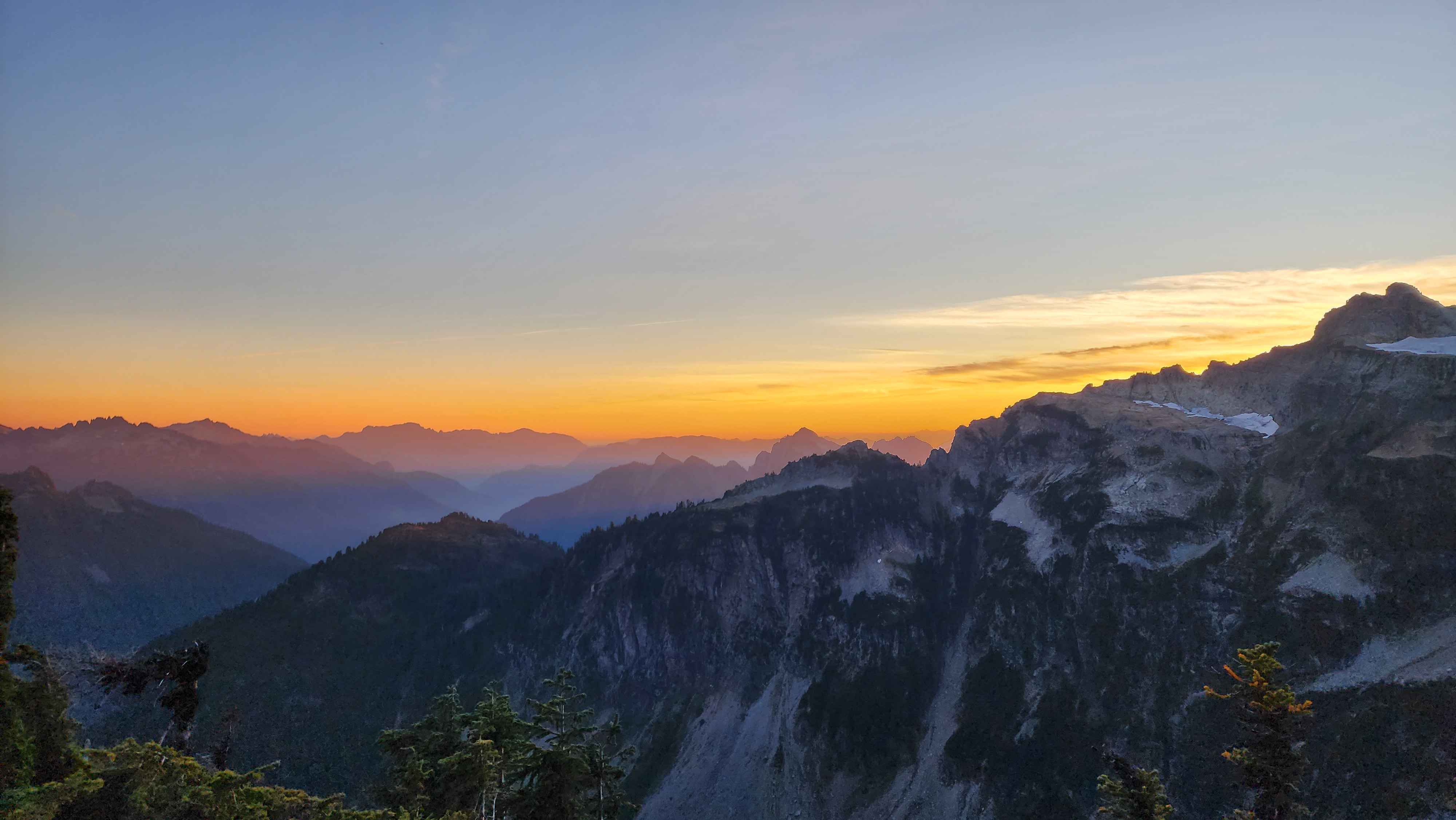
The sun going down

The light hitting the tips of the peaks
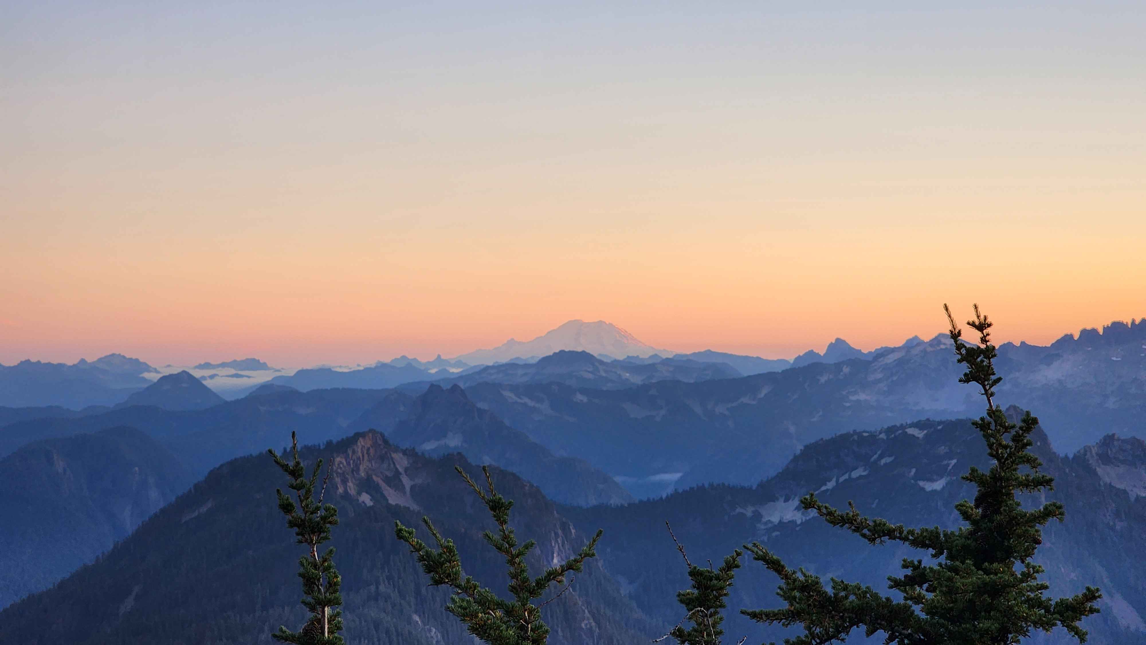
Mt Rainier

The moon rising
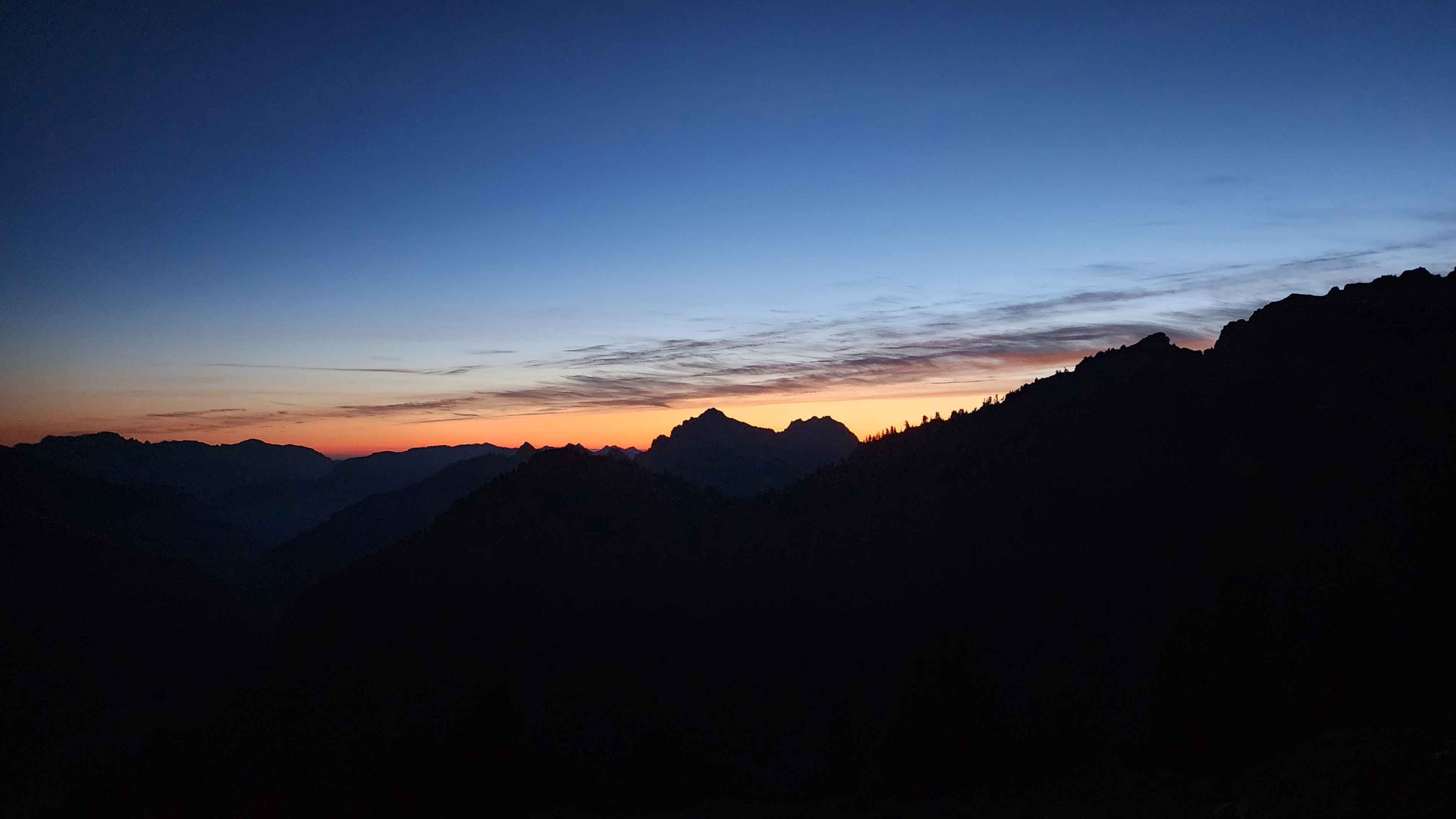
The last bit of light shining in the darkness