The forecast for the 15th completely changed from rain to partially cloudy overnight. I only found out once I woke up the 15th, so I had already lost most the day. I did some quick looking to see if there were any peaks I could do in half a day. White Chuck had been one I wanted to do for a while, but I had never really looked much into it. After researching it, I found out it was only about 2000ft of vertical. I’d done 4000ft+ of vertical in afternoon hikes before like
Gunn and
Baring, but those were right next to my house. This hike was well over 2 hours from my house, so that balanced out the 2000ft less of vertical.
I got to the trailhead at 15:23. The road up was a very long gravel road, being about 50 minutes to drive. There were lots of cars going down, but when I got to the trailhead there was nobody. I’m not sure if the cars were coming from the trailhead or if they were coming from something else.
I breezed through the first section of the trail that goes through the forest and some open areas. The trail was easy to follow and pretty well maintained. There was a NWAC weather station on the route, which was cool. There is also a NWAC snow report tower lower down on a different road.
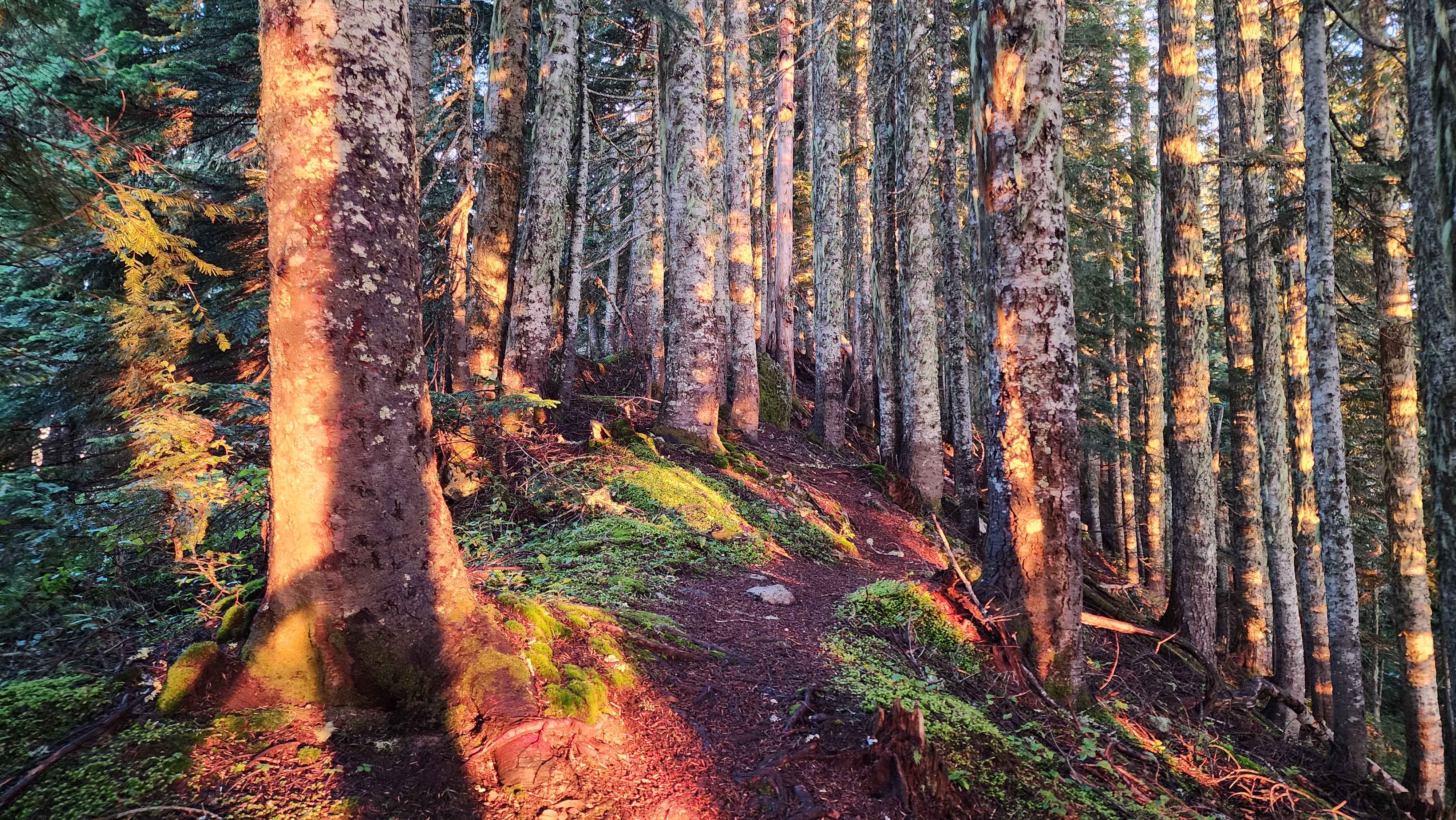
Photo of the forest the trail runs through I got on the way out
The view out the side
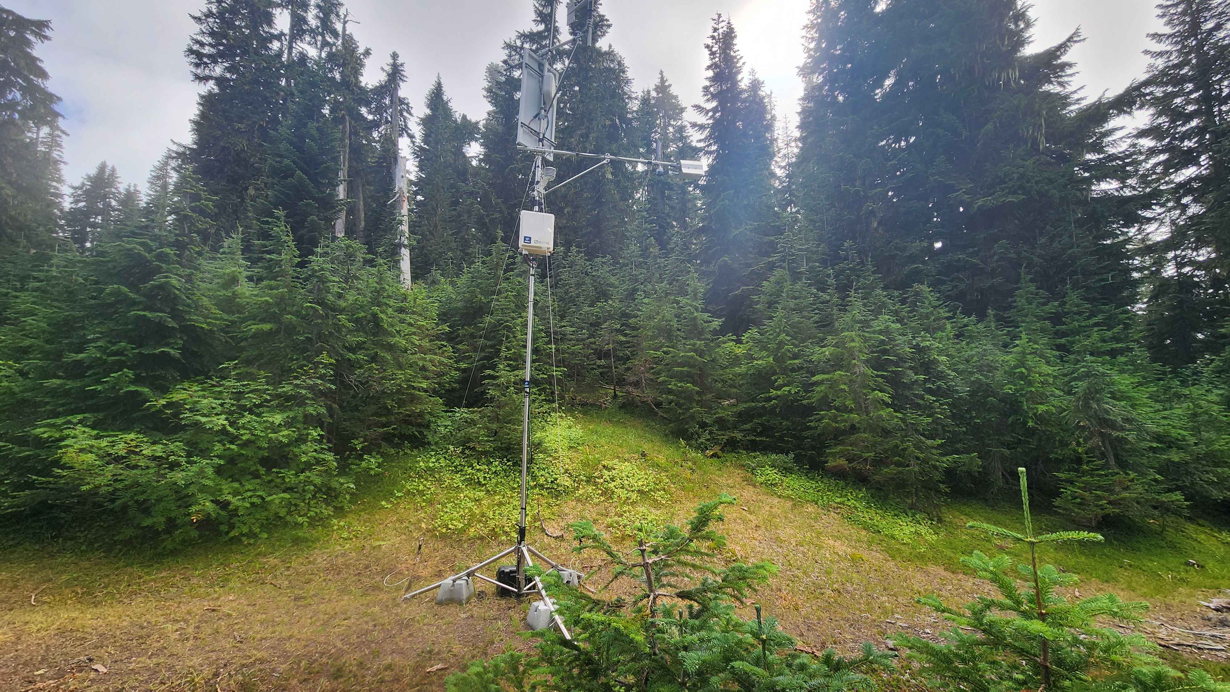
The NWAC weather station
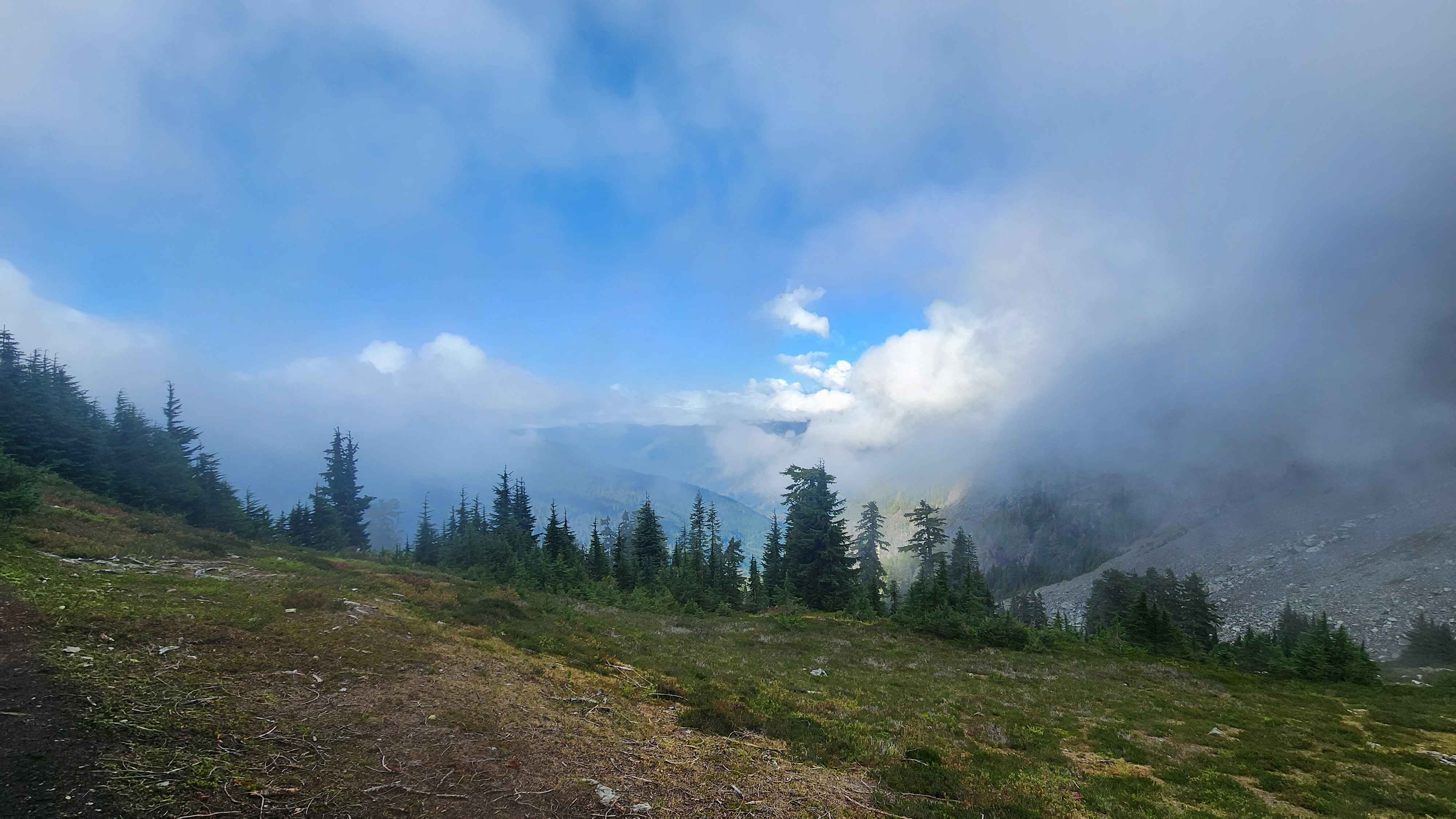
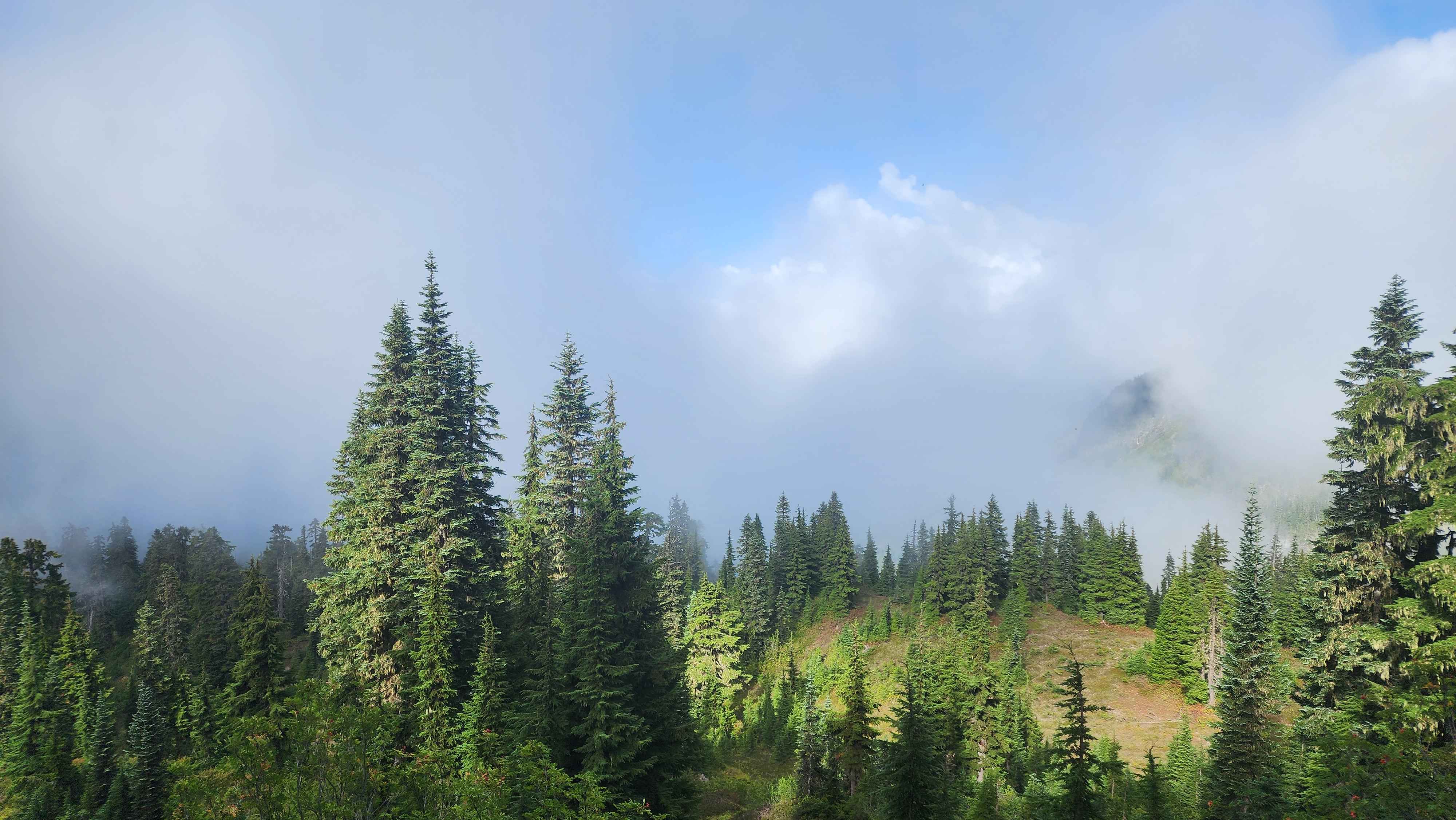
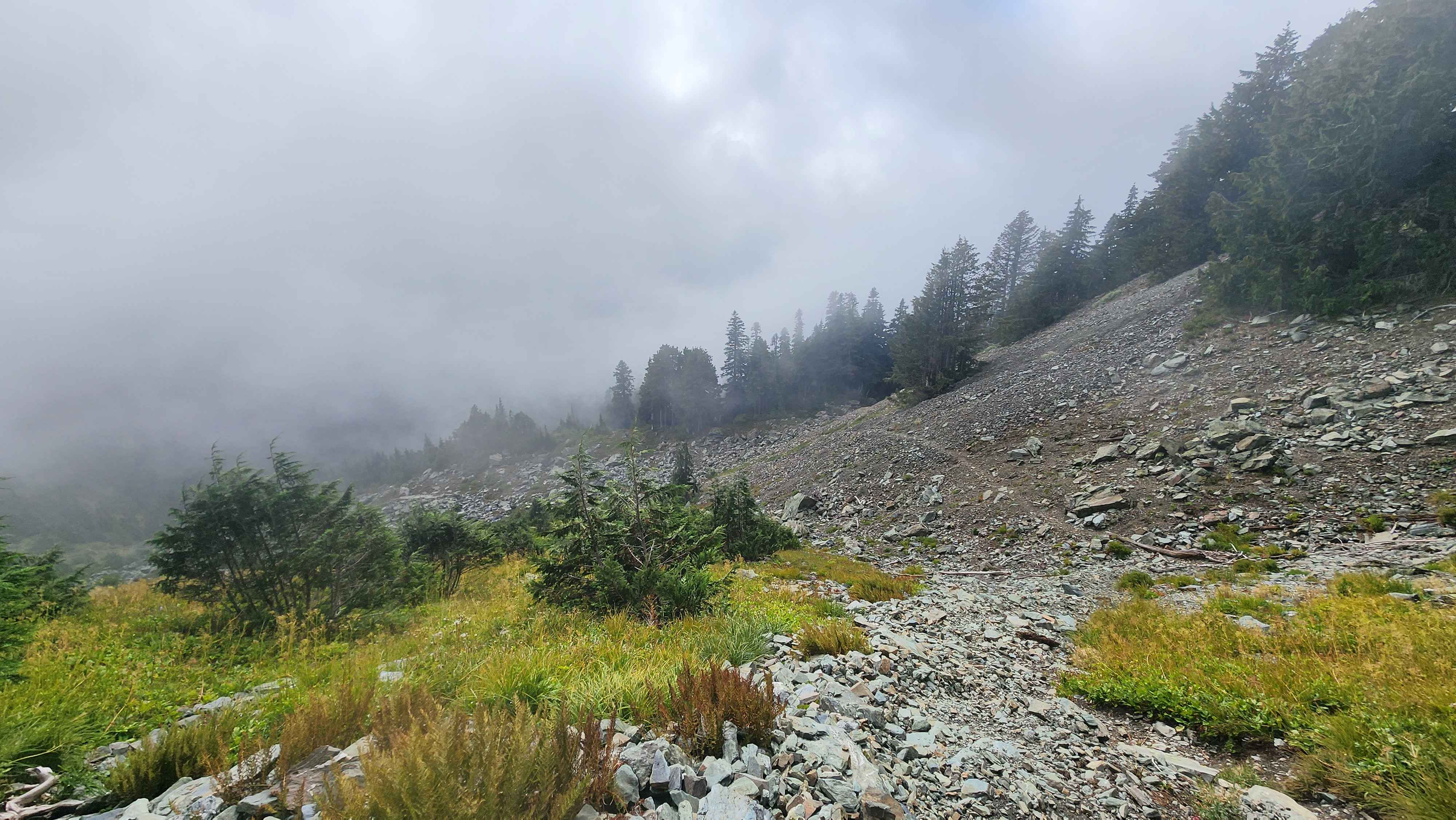
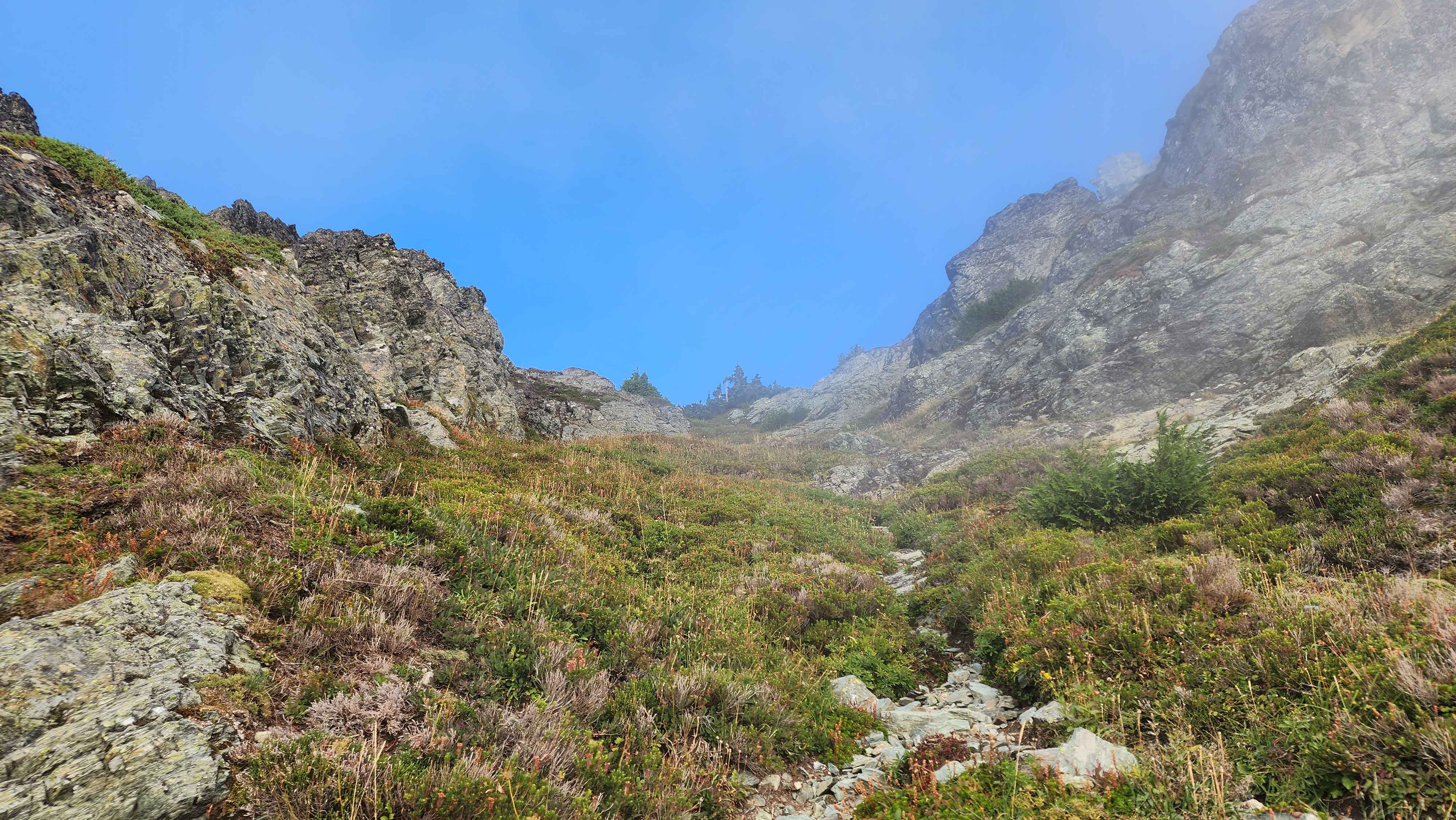
A section were the terrain opens up a bit
The terrain eventually opened up and the trail went across a rock field. I went up the chute and to the ledge just below the ridge. This section was barely class 2.
Part of the rock field
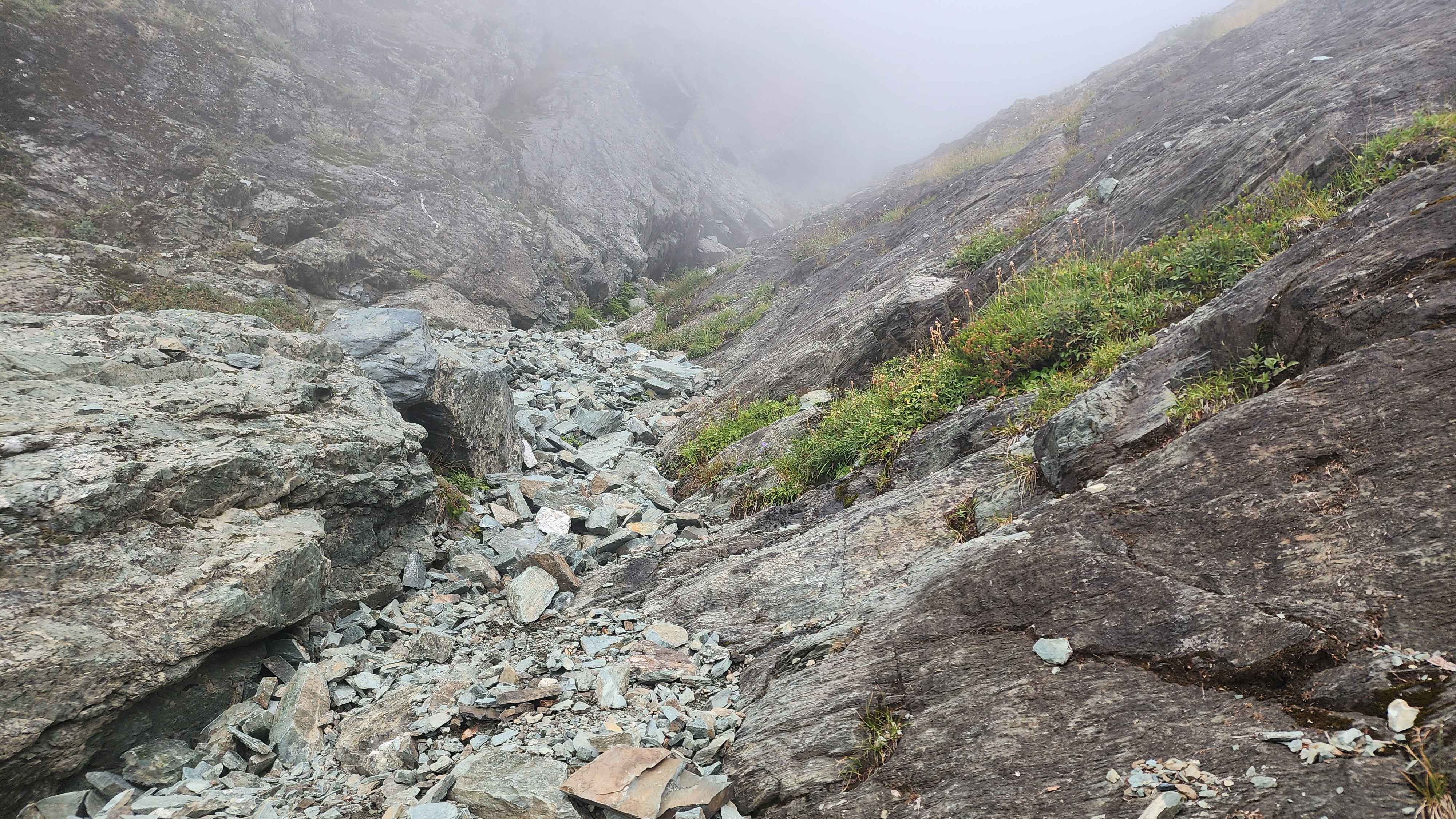
Near the top of the rock chute, the trail continued across the rock to the right
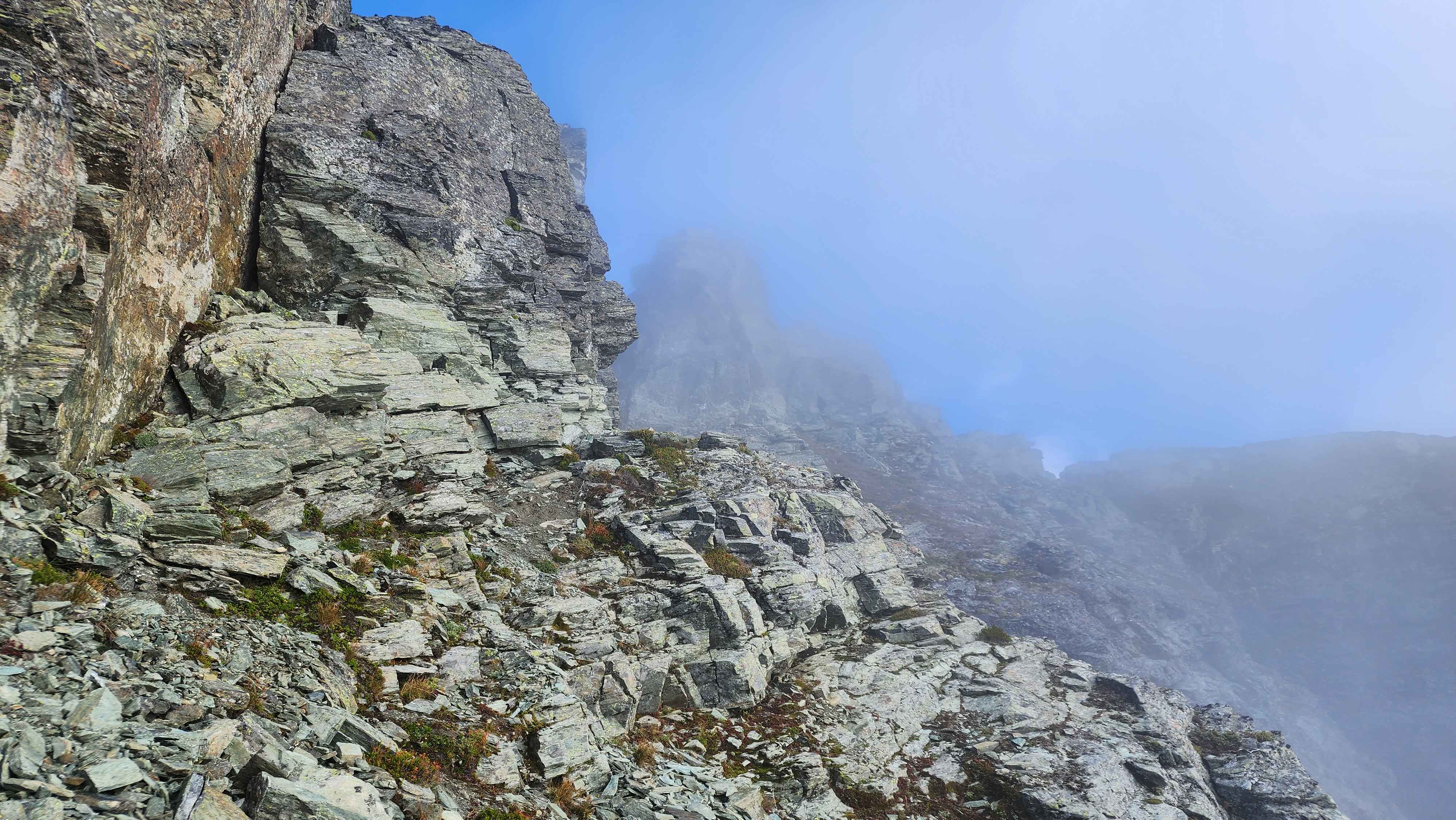
The trail then went along this ledge for a bit. The trail is supposed to go up a grass chute at the end of the ledge, but I decided to turn up the slope earlier than the grass chute. The route I took up to the ridge was very fun class 4 scrambling. I prefer this route way more over the grass chute. I took the grass chute on the way down, and it wasn’t even scrambling.
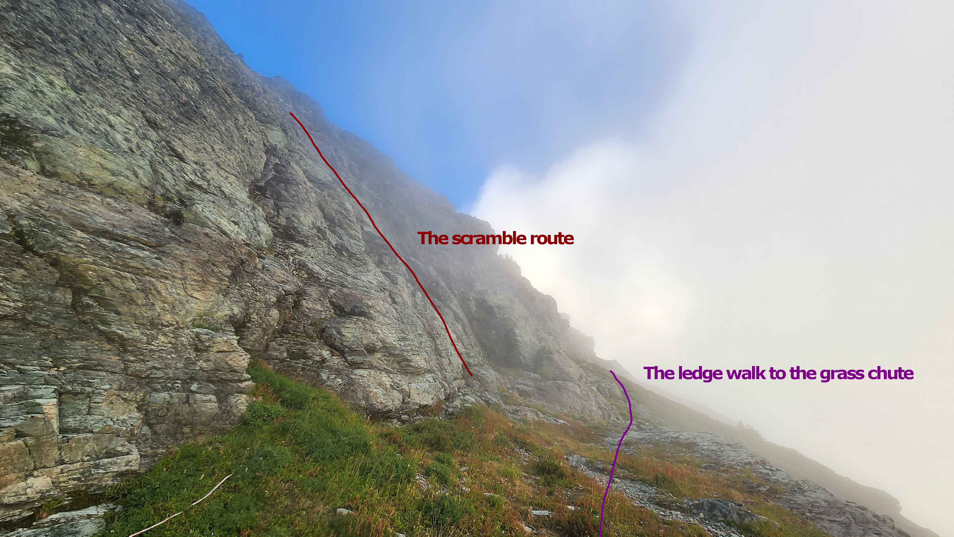
Ledge walk vs the scramble route
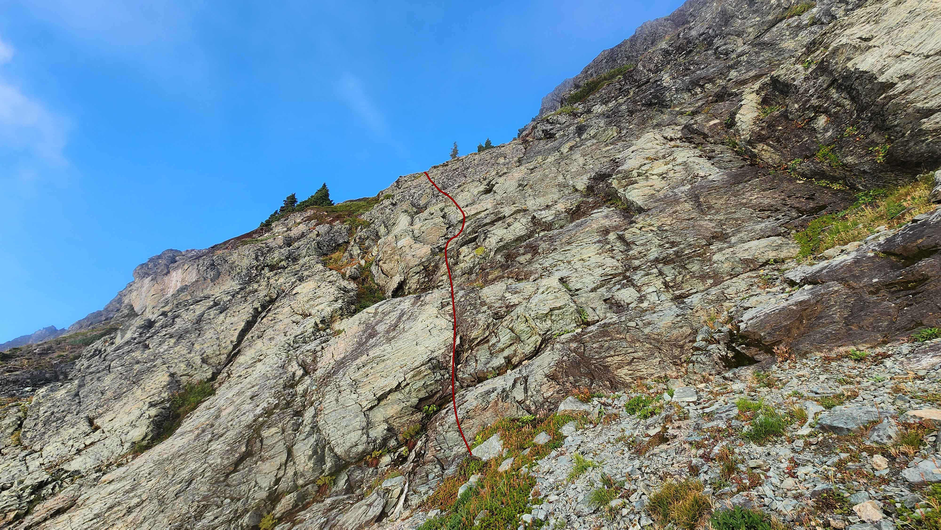
The scramble route from the front
The lame grass chute
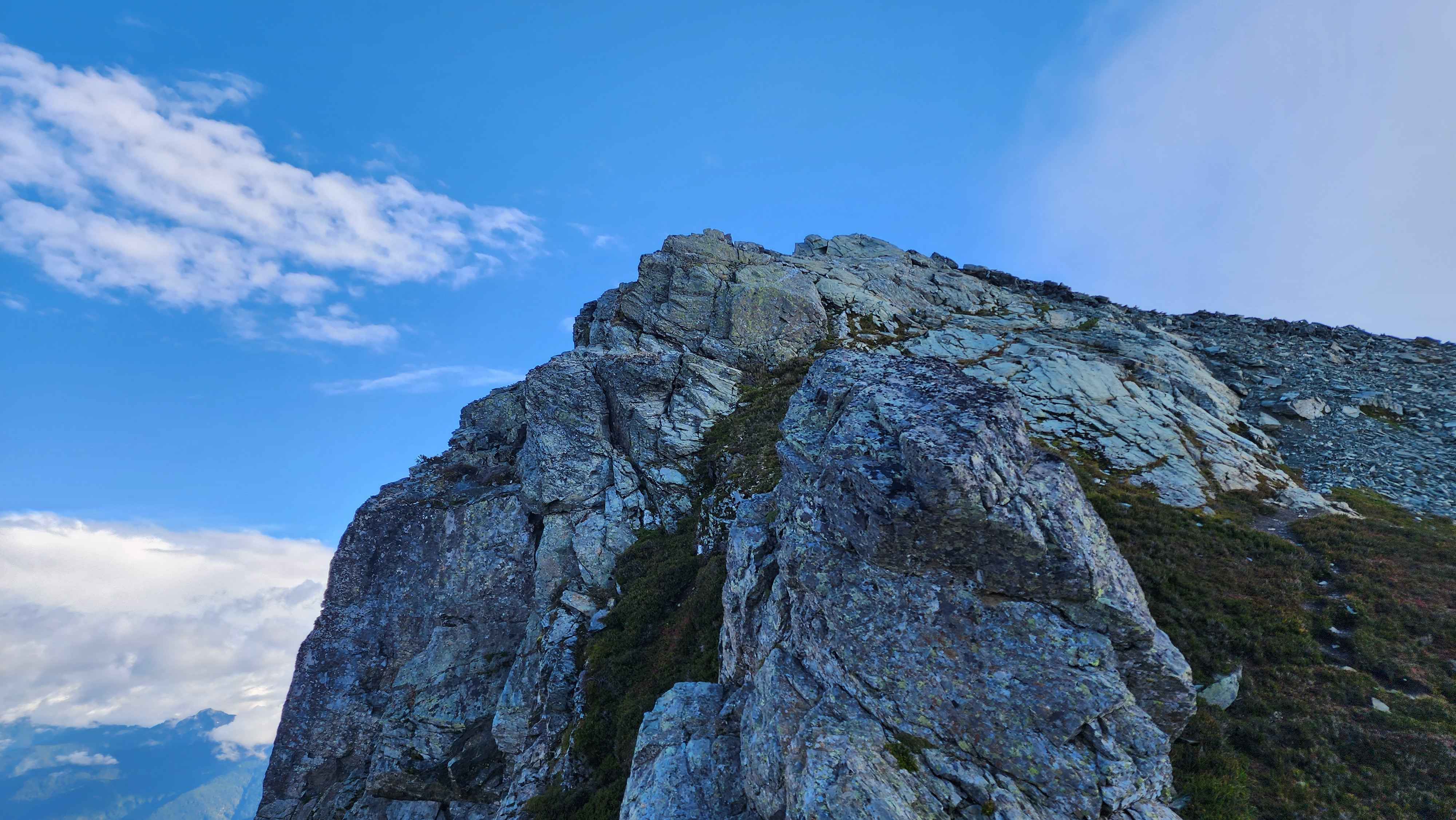
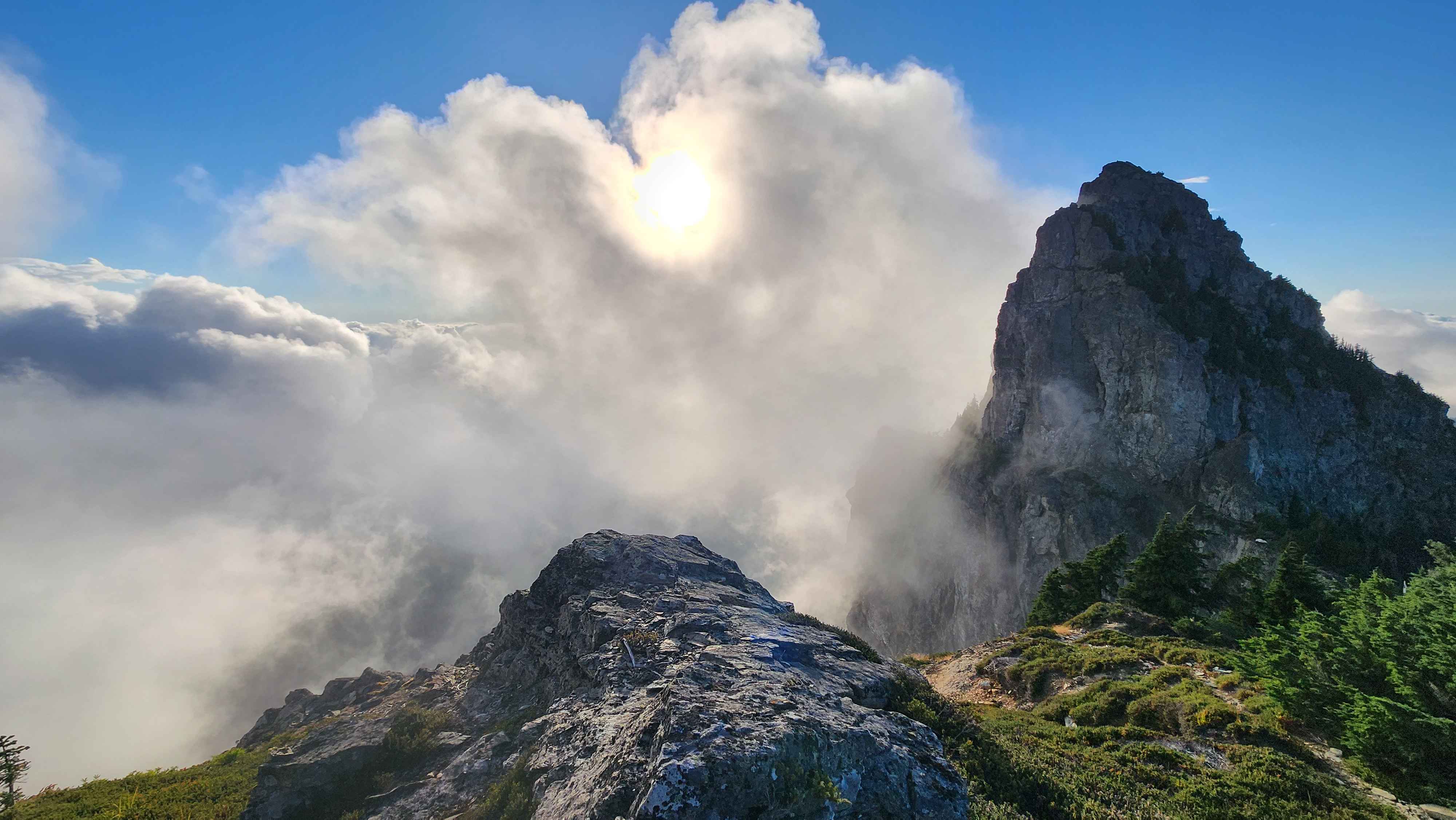
The trail then continued on the ridge and went through some more rock fields. There was a glacier visible down below on the north side of the mountain. After walking through the rock fields and across some slightly exposed ledges, I came to what was the scrambling “crux” of the route, if you ignore the class 4 part I did that wasn’t necessary. It was only class 2 with a bit of exposure to either side.
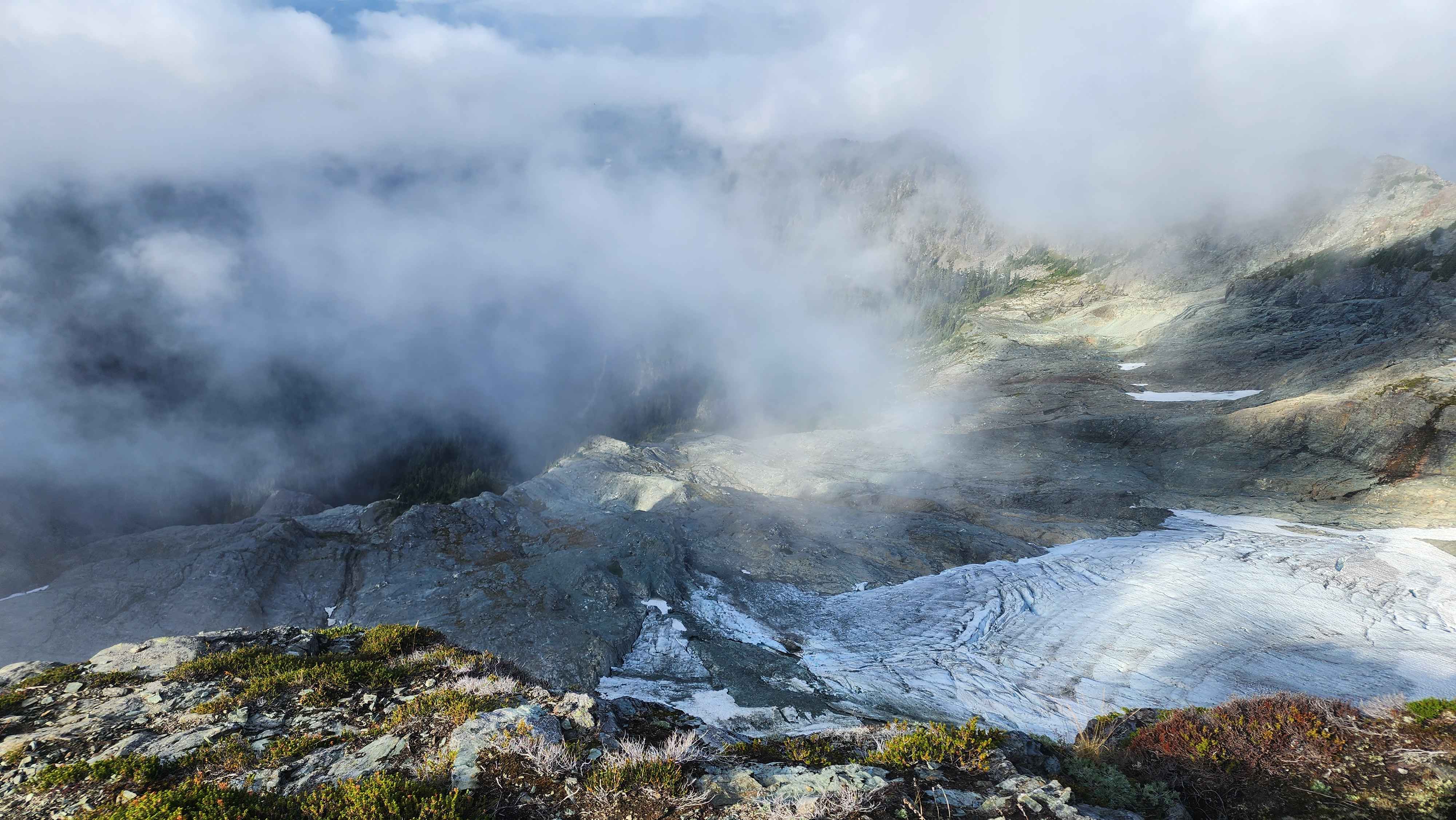
The glacier down below
The view from the ridge
A section of the ridge walk
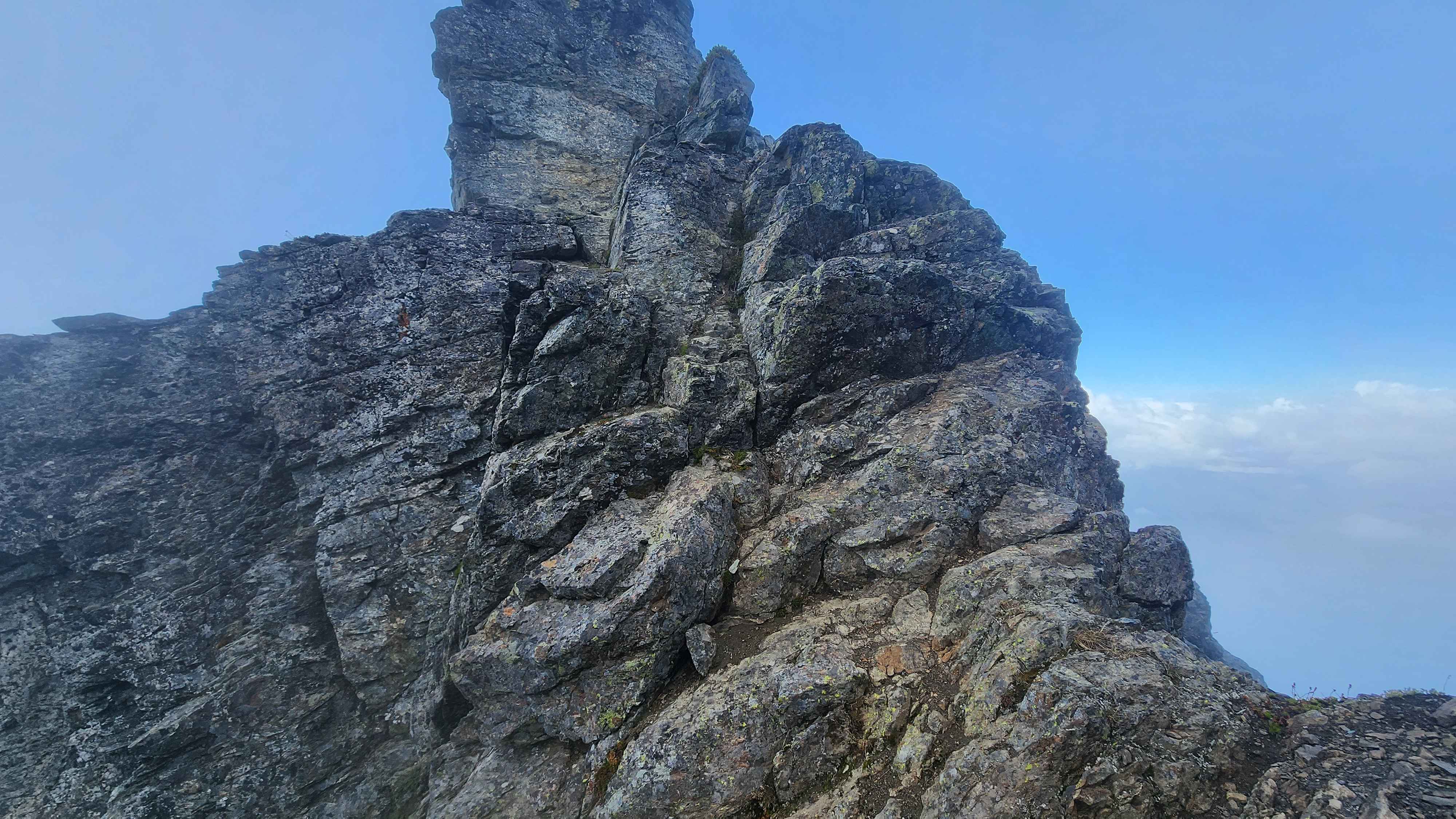
The scrambling "crux" of the standard route
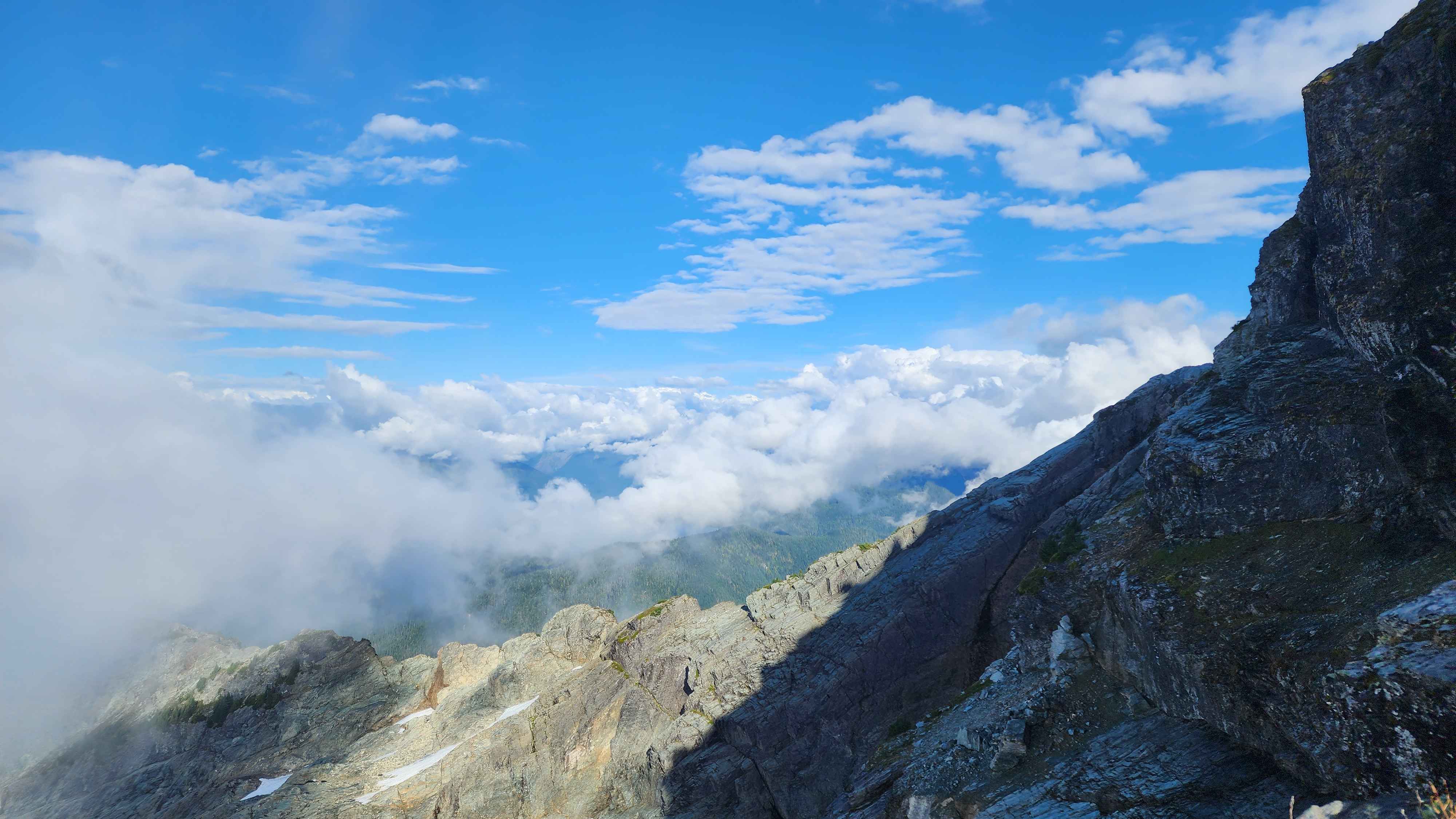
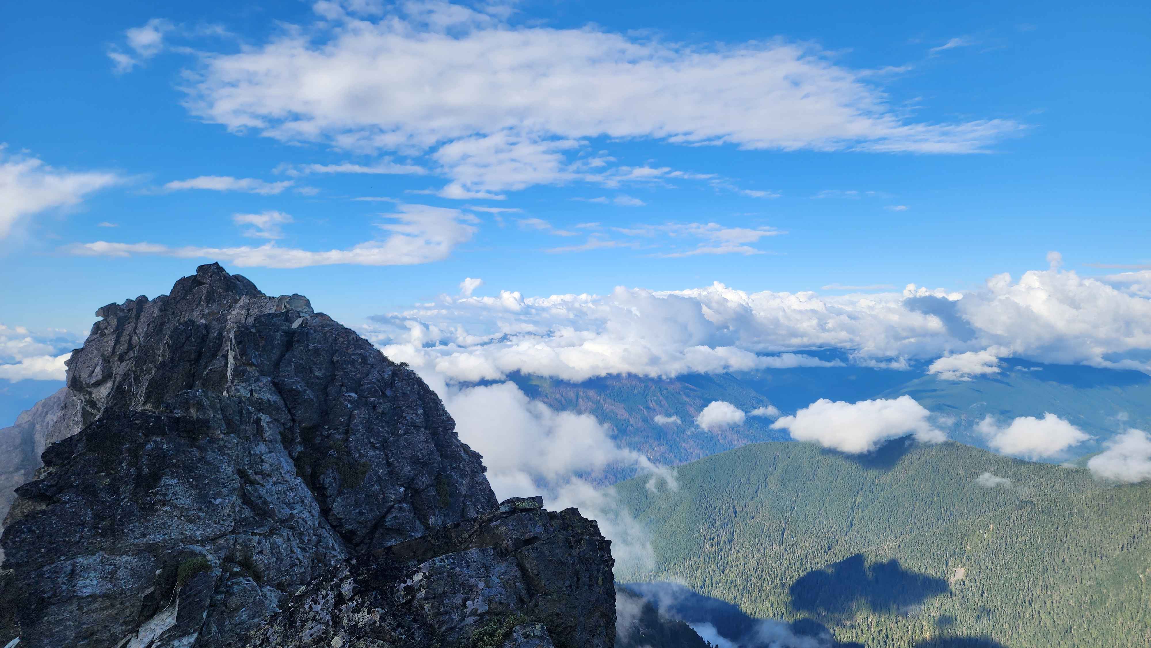
After the scrambling “crux,” I quickly made it to the summit. The clouds were moving fast which constantly changed the view. I couldn’t see Raven Lake down below or Mount Pugh since there was a thick cloud blocking them. However, I could see Baker and both the White Chuck Lakes.
The summit block
View from just below the summit
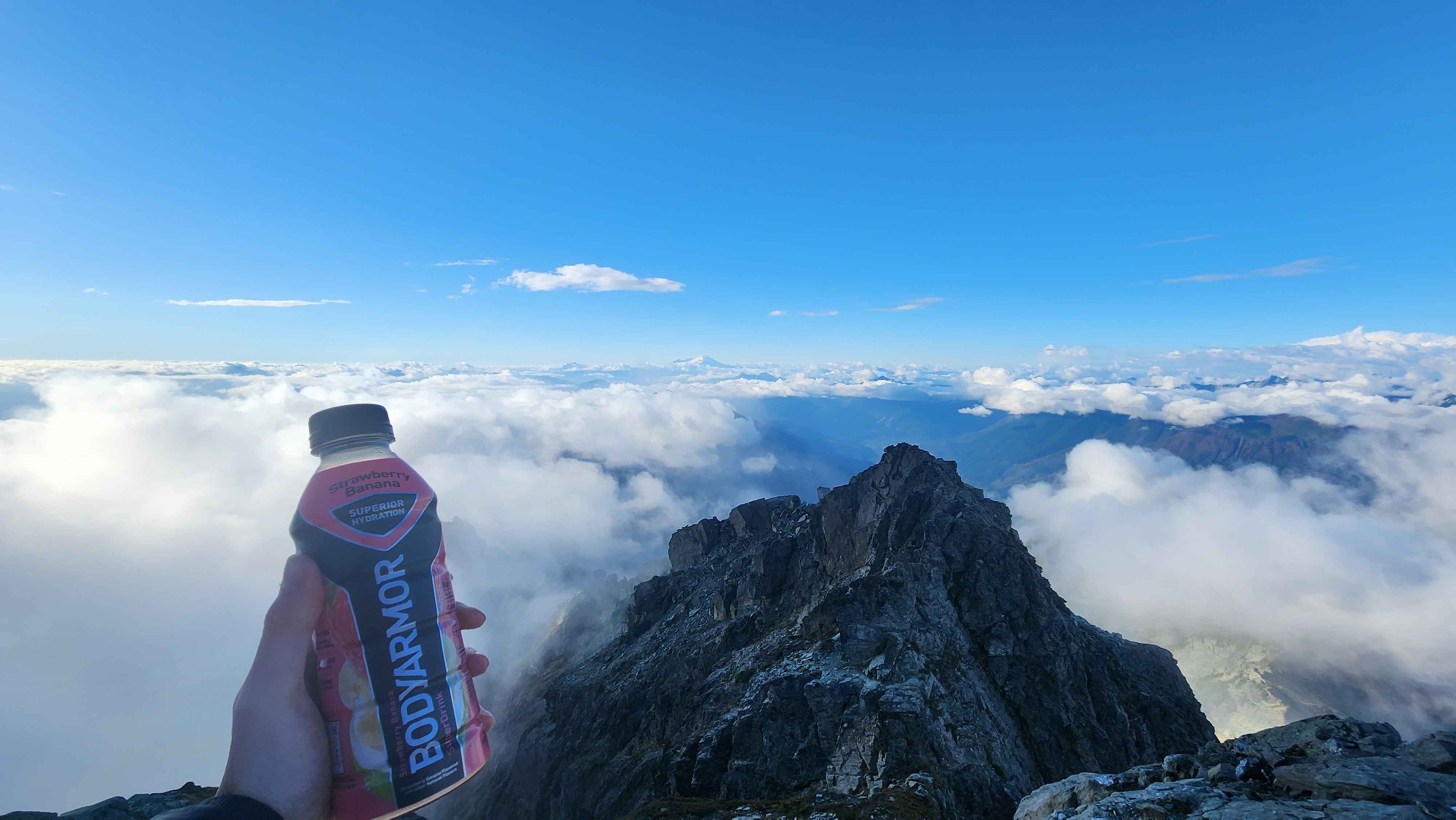
At the summit with Baker in the distance
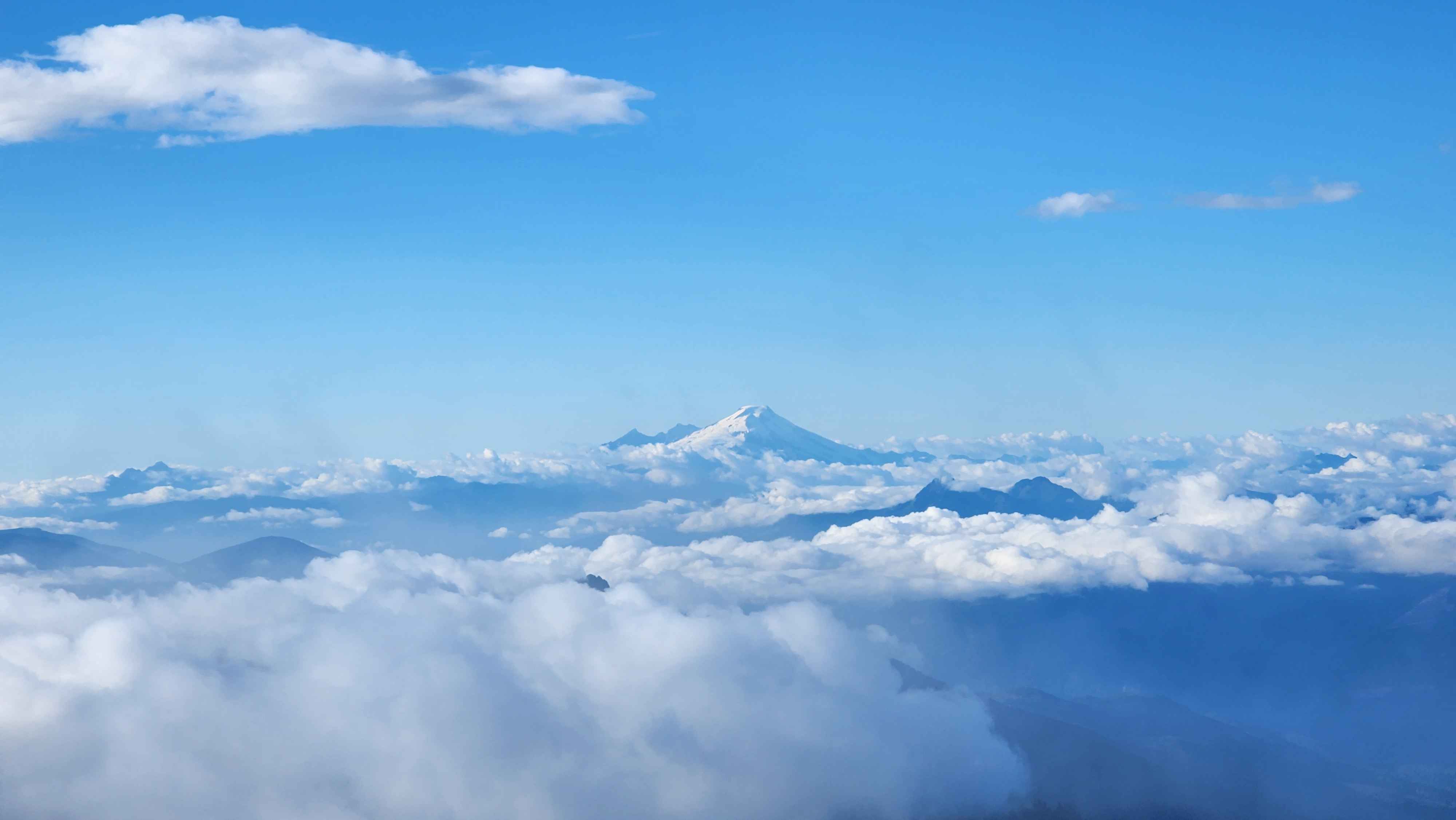
Baker standing tall amidst the clouds
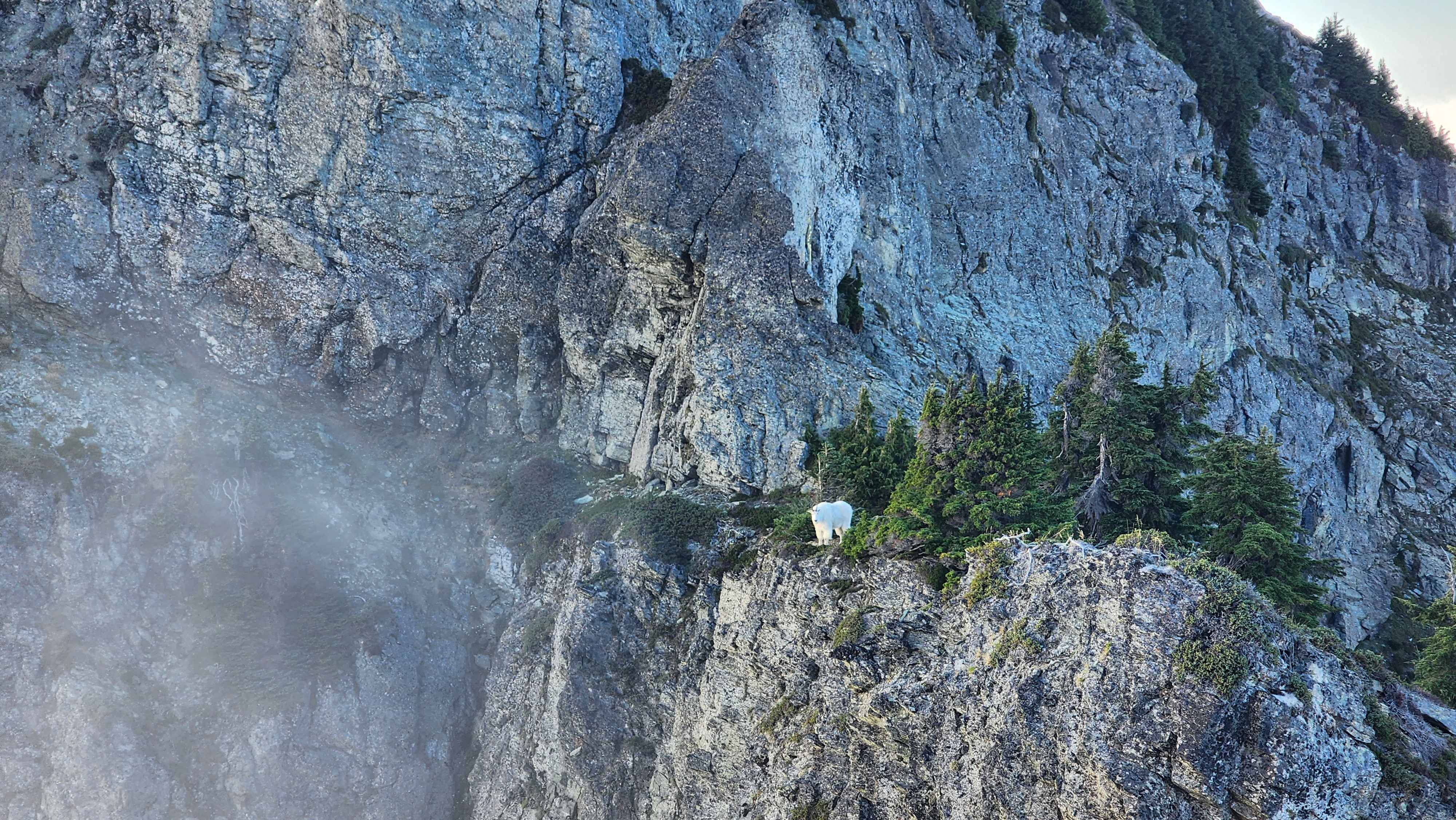
The way down ended up being the most interesting, which is also why going down took me longer than ascending (I don’t think that’s ever happened before for me). I wanted to try to get to the subpeak, so I walked out across the ridge connecting the two. However, on the platform that’s connected to the subpeak and part of the ridge, there was a large mountain goat sleeping. As I went further across the ridge, I woke them up.
Making my way to the ridge, the subpeak is to the right
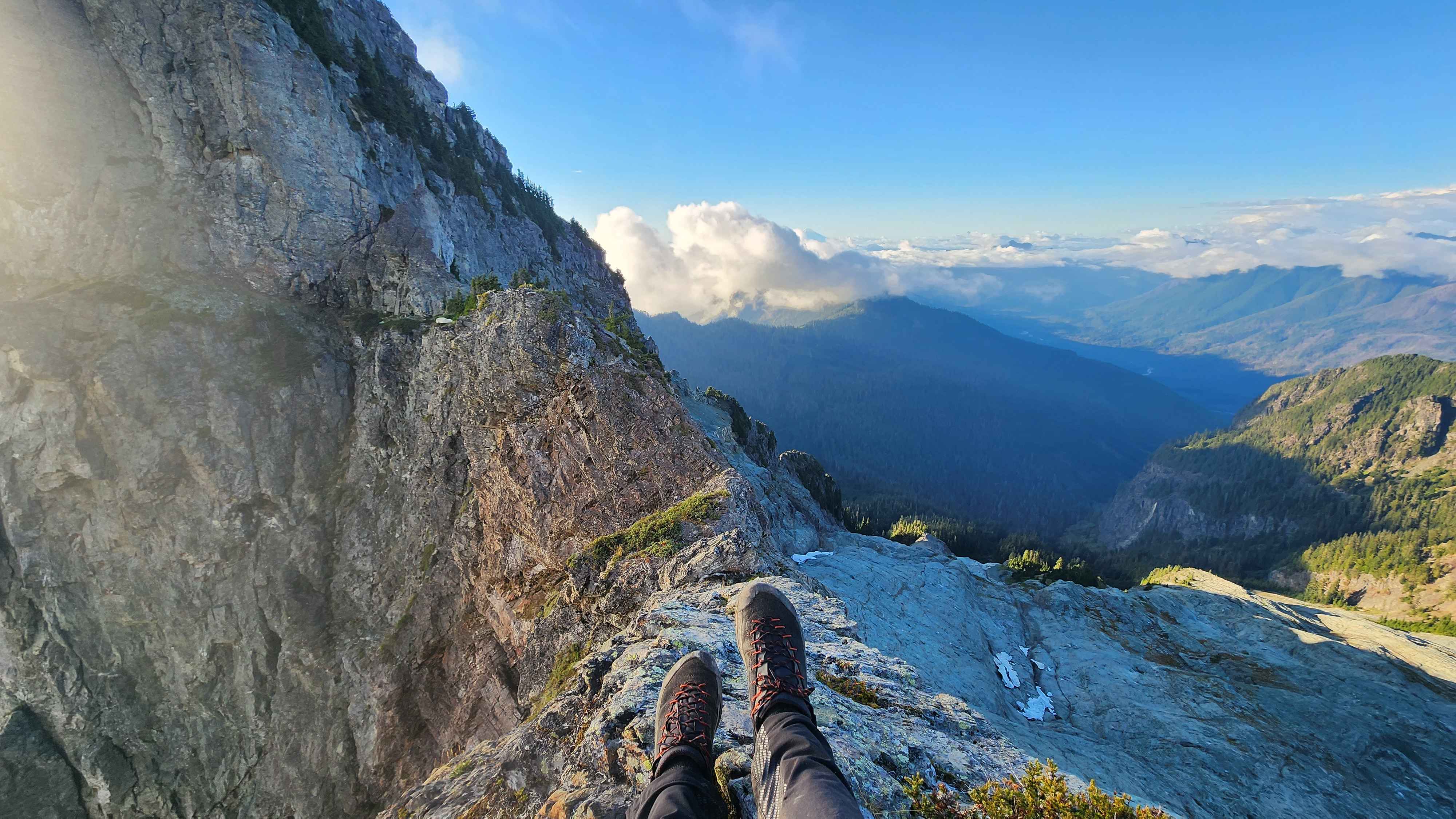
Trying to get across the ridge
The mountain goat woke up
After taking a bunch of photos of the goat, I continued to try to make it across the ridge. I quickly turned around since the ridge got really exposed and sketchy. It looked like there was a super exposed class 3 section, along with a drop in between two rocks that I would’ve had to jump across. Even If I made it to the platform where the goat was, I didn’t see a good route up the subpeak. I also didn’t want the mountain goat to ram me off the cliff.
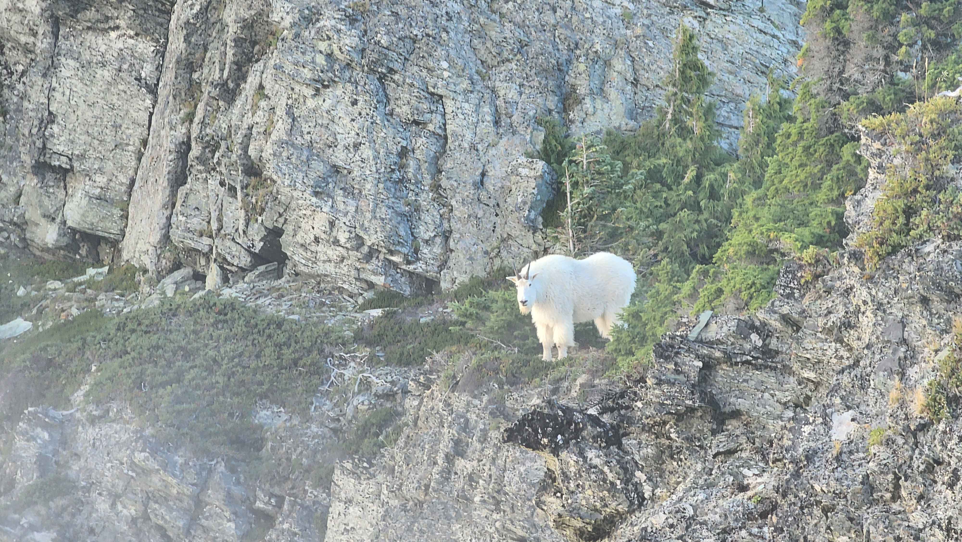
The goat up close
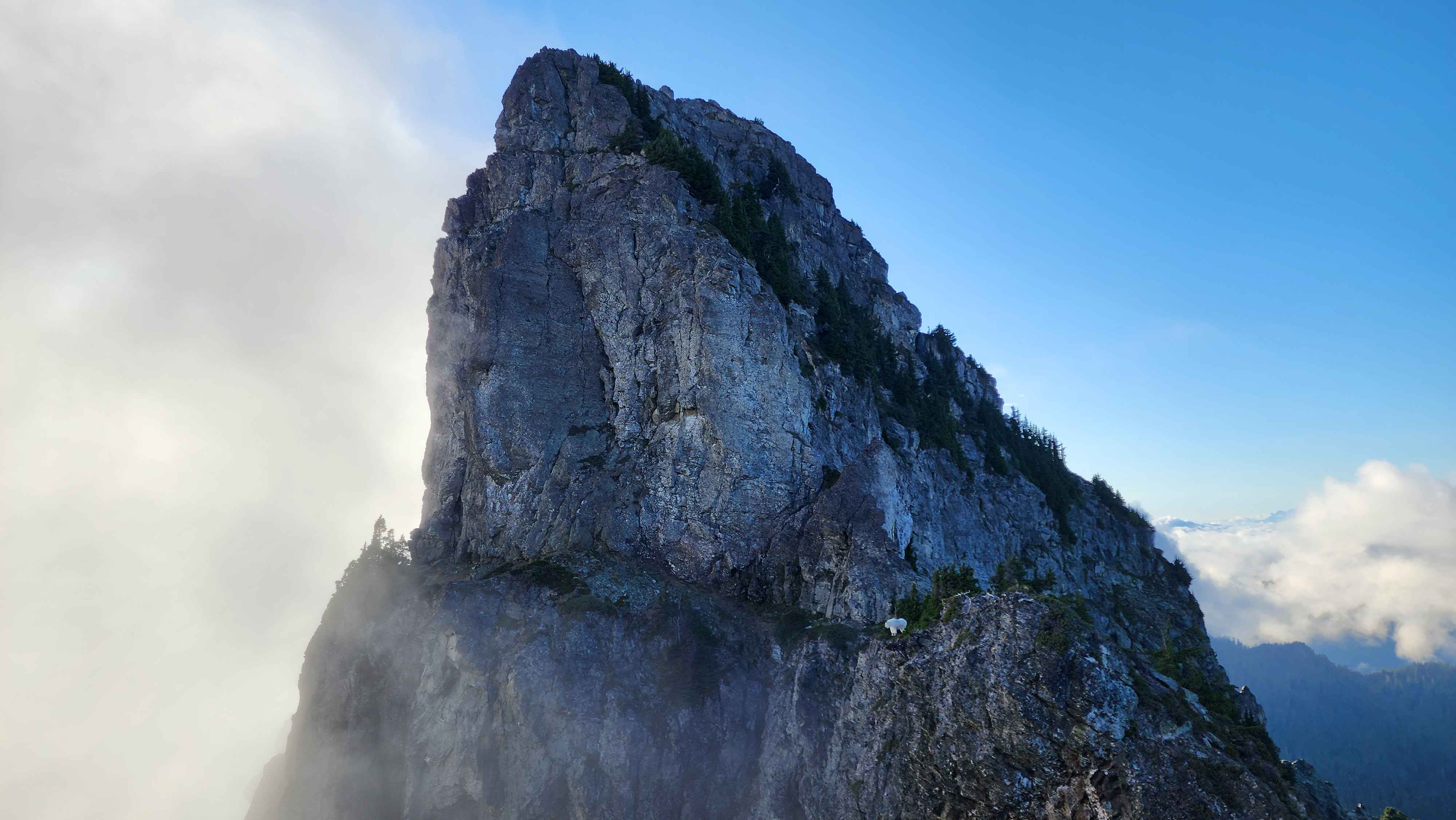
The top half of the subpeak with the goat standing on the ledge below
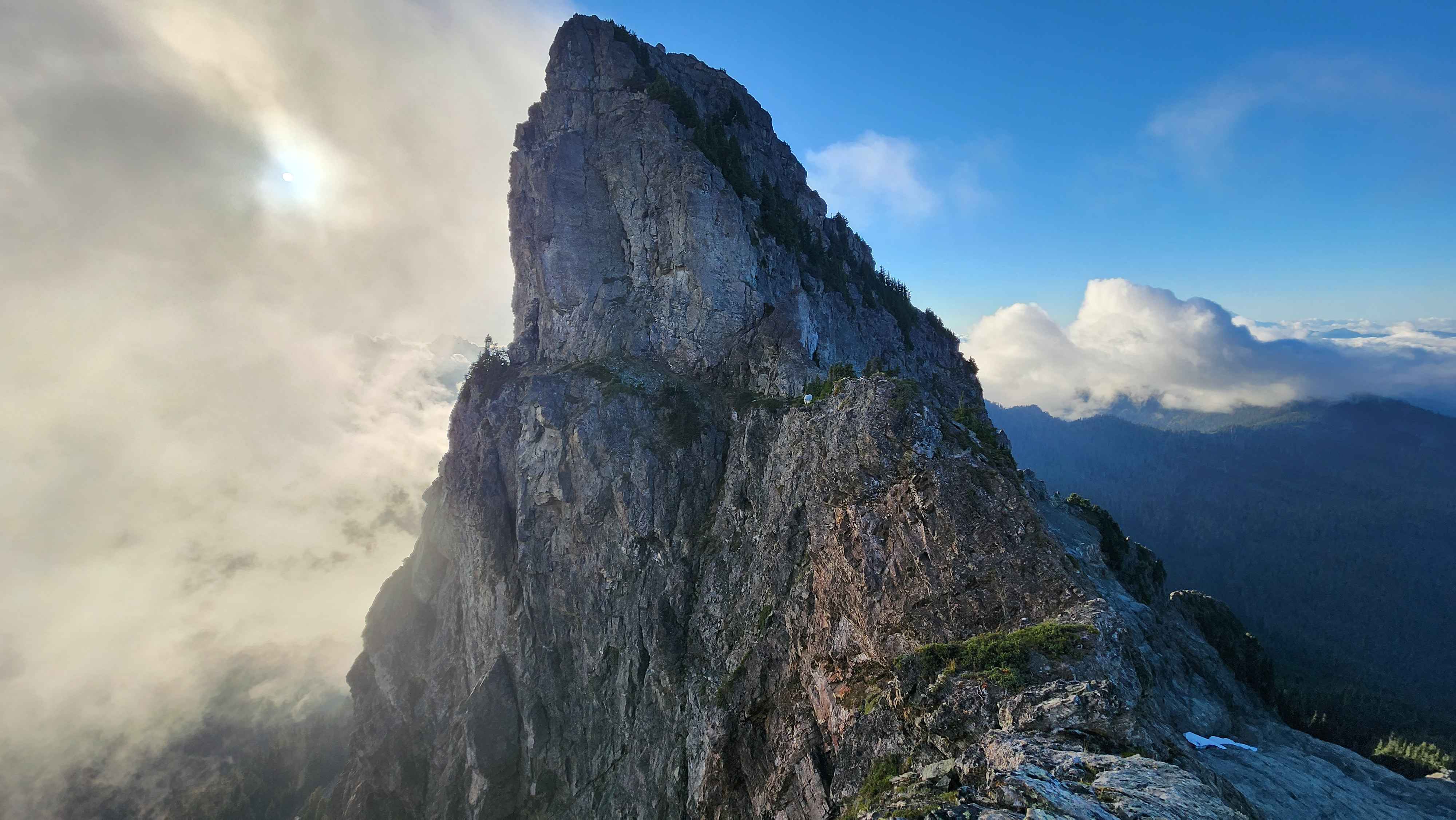
The subpeak with the ridge I tried to get across
After going back across the ridge, I made my way down the regular route, not doing the class 4 scramble. I saw what looked like a little cave while going down the rock chute, so I went up to check it out. It was a little cave like thing created by some large boulders that had gotten wedged in between the two solid pieces of rock. I wanted to climb up to check it out, but the small climb up proved to be way more difficult than I expected. The small footholds were not suited for large approach shoes.
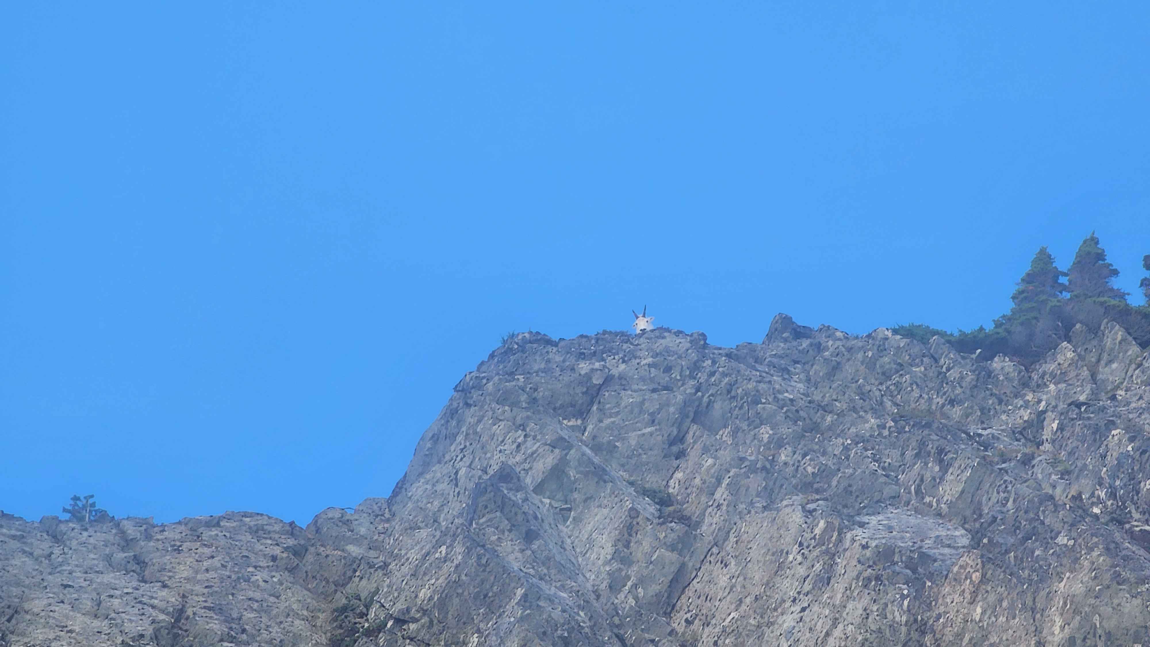
The goat was still stalking me from the ridge as I went down the rock chute
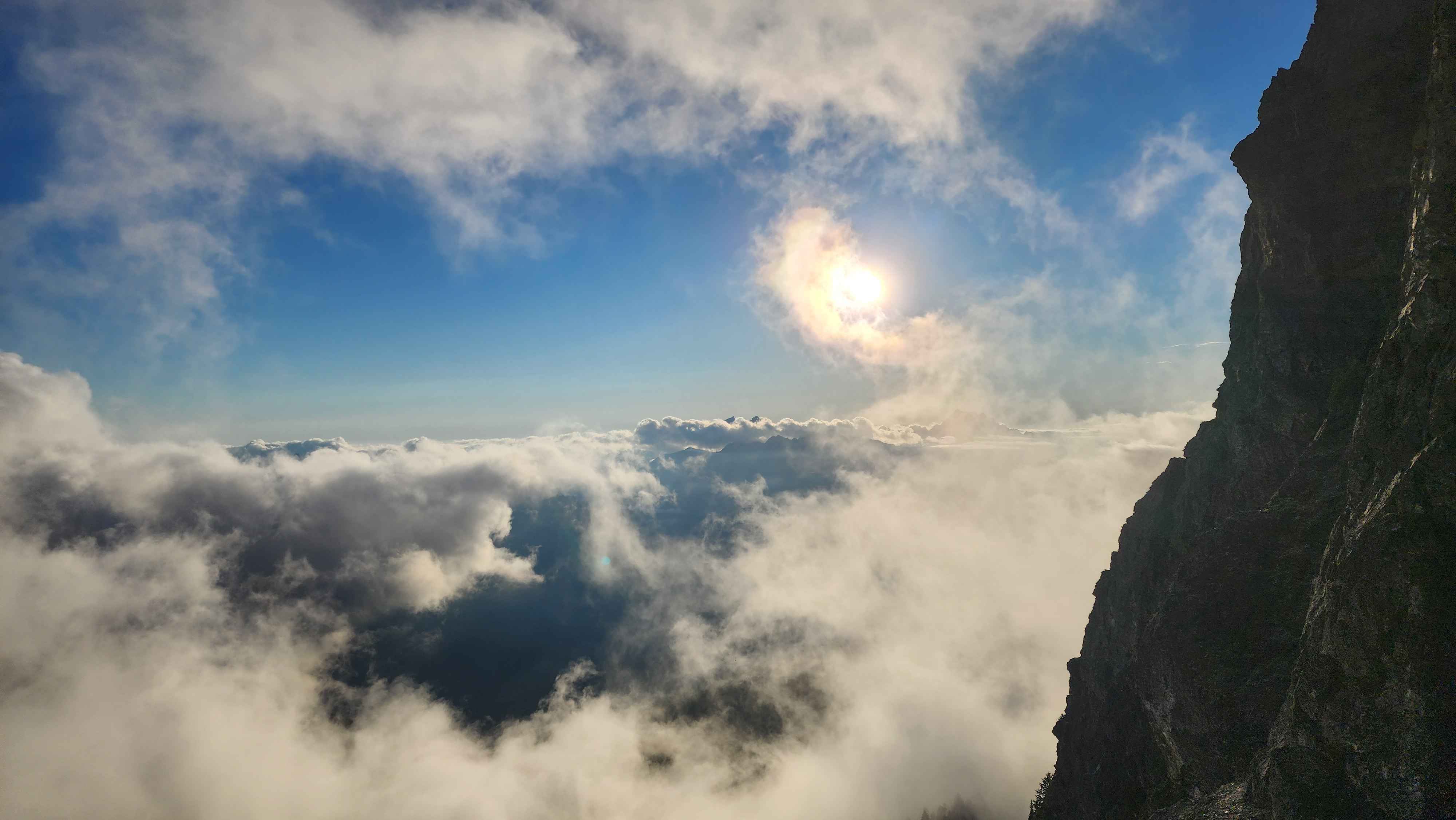
Photo from just above the rock chute
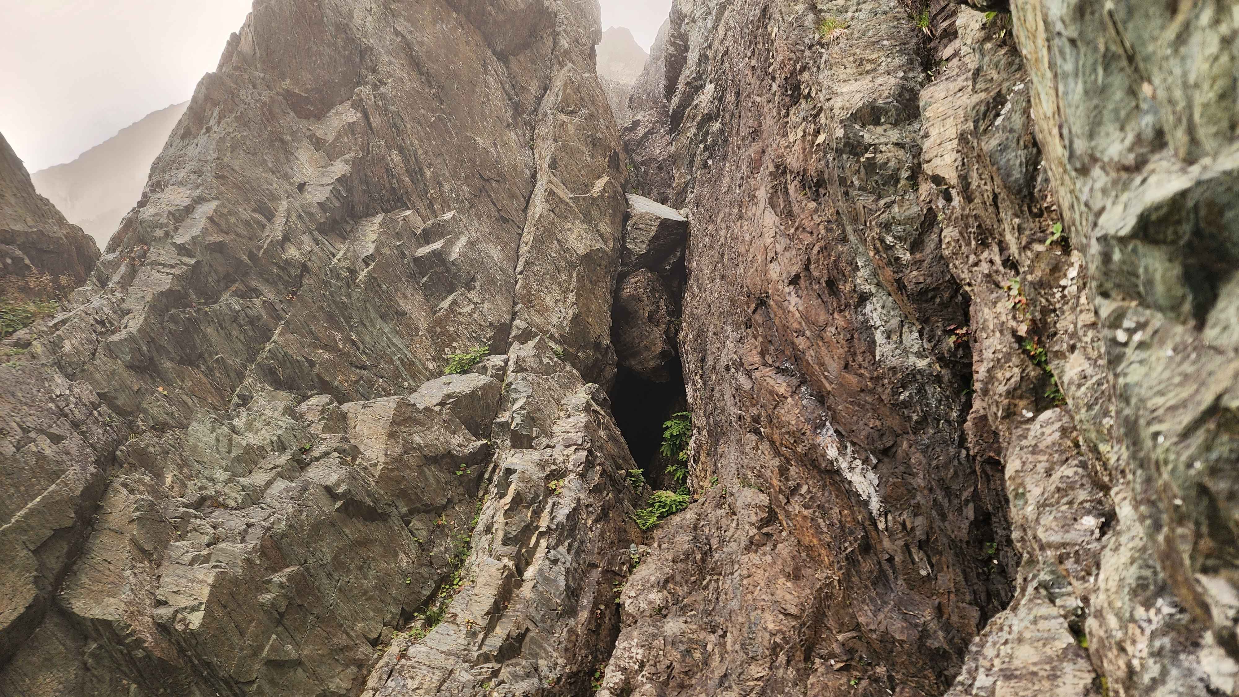
The small cave thing
I got back to my car at 19:17, right at sunset. It was crazy how high up the parking lot was, being at 4882ft. The only parking lot higher than this I’ve been to is the Paradise Parking lot, which I’ve been to several times for skiing the terrain around Camp Muir.
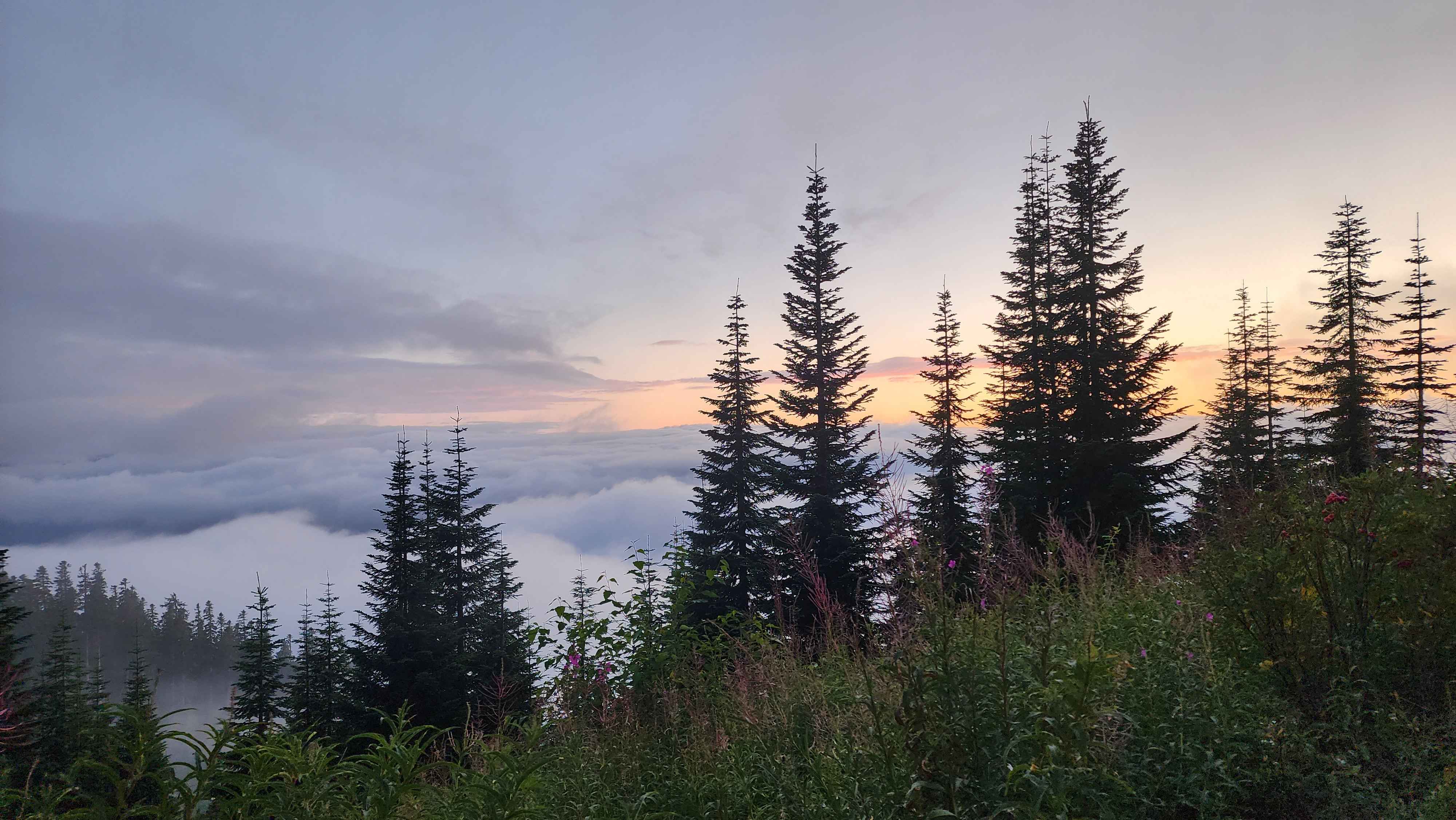
The sunset from the parking lot; the parking lot was so high up it was above the clouds